The KNOWOL atlas IndianaFind your place
Your streets. Your story.
Indiana Map PrintsToday’s towns.
Old atlas detail.
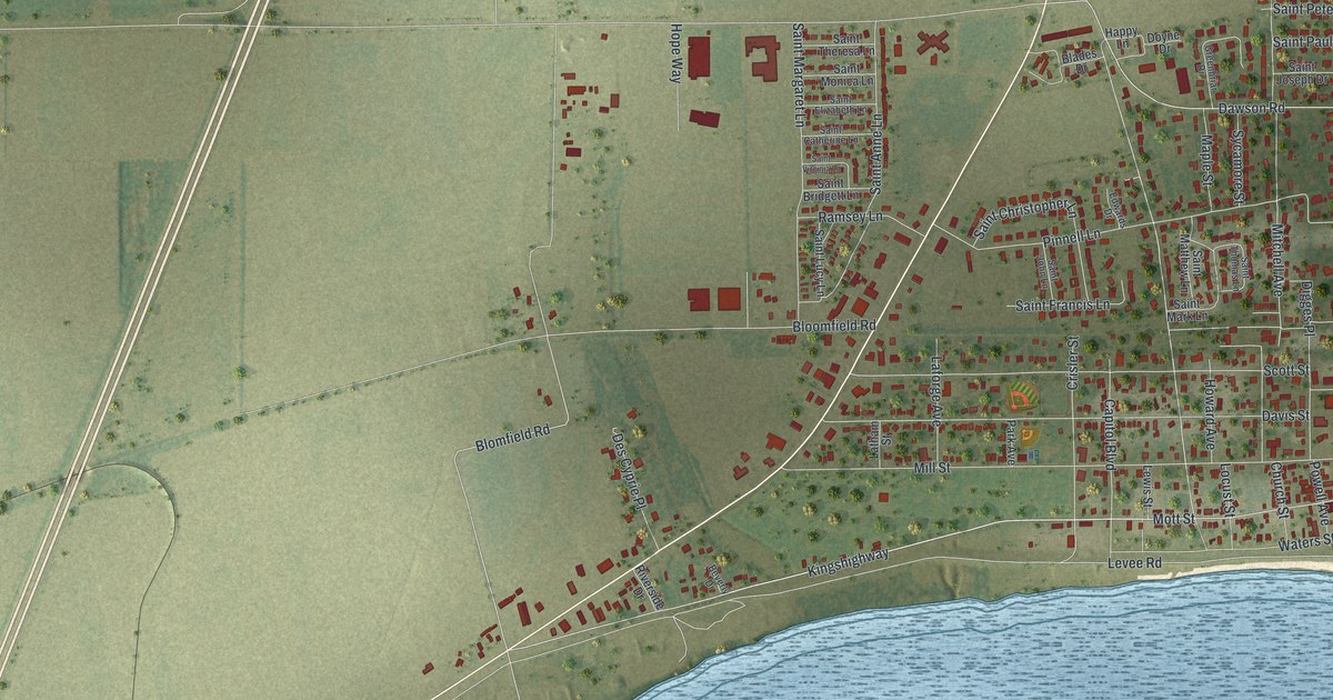
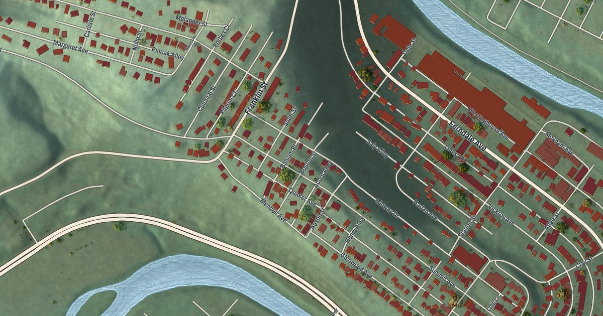
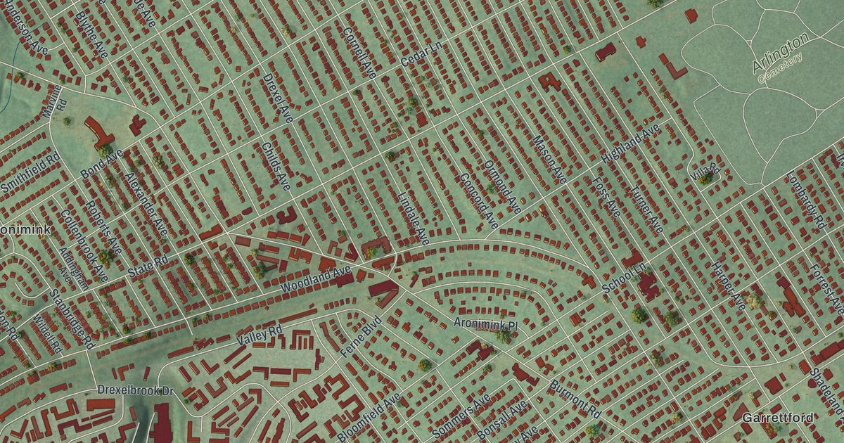
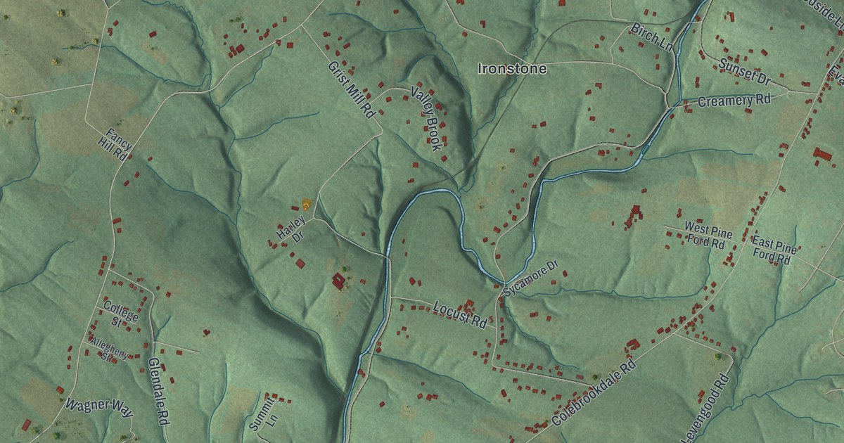
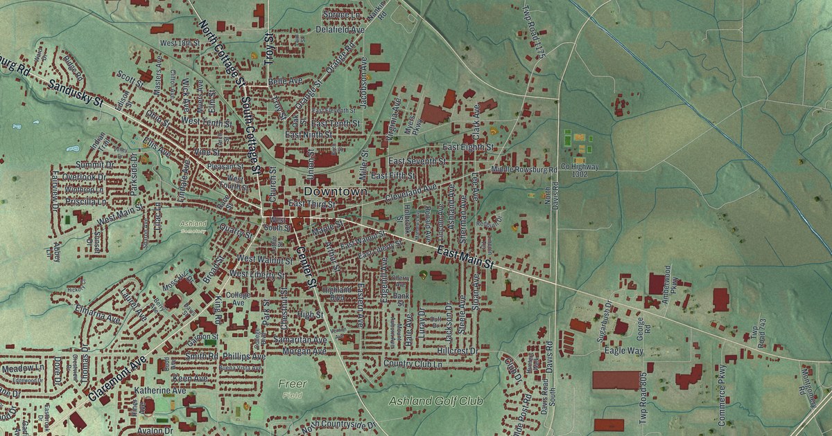
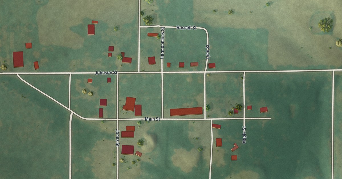
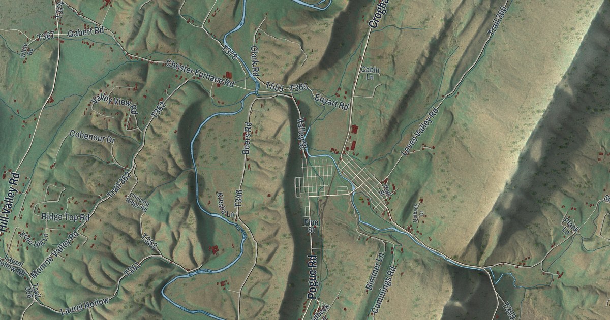
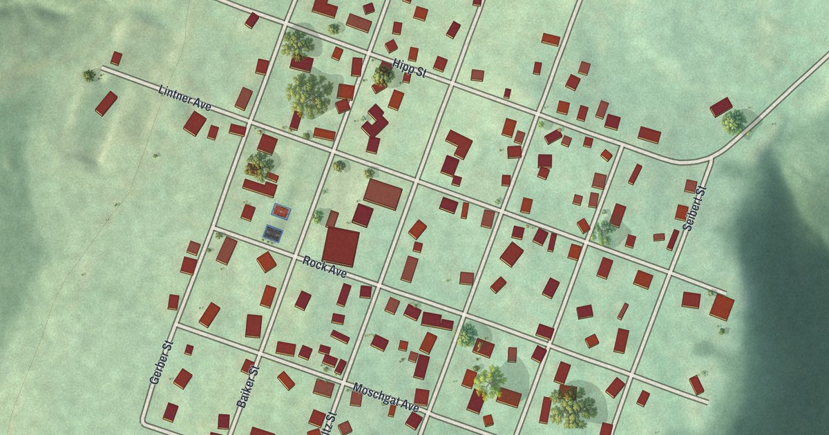
The streets you know. The place you carry with you. Discover Indiana, drawn with the detail and character of an old atlas.

Monroe CountyBloomington
↗Every place has a story
Let’s find yours.
Find your town on the map,
or search it by name.
Adams County
Allen County
Bartholomew County
Benton County
Blackford County
Boone County
Brown County
Carroll County
Cass County
Clark County
Clay County
Clinton County
Crawford County
Daviess County
DeKalb County
Dearborn County
Decatur County
Delaware County
Dubois County
Elkhart County
Fayette County
Floyd County
Fountain County
Franklin County
Fulton County
Gibson County
Grant County
Greene County
Hamilton County
Hancock County
Harrison County
Hendricks County
Henry County
Howard County
Huntington County
Jackson County
Jasper County
Jay County
Jefferson County
Jennings County
Johnson County
Knox County
Kosciusko County
LaGrange County
LaPorte County
Lake County
Lawrence County
Madison County
Marion County
Marshall County
Martin County
Miami County
Monroe County
Montgomery County
Morgan County
Newton County
Noble County
Ohio County
Orange County
Owen County
Parke County
Perry County
Pike County
Porter County
Posey County
Pulaski County
Putnam County
Randolph County
Ripley County
Rush County
Scott County
Shelby County
Spencer County
St. Joseph County
Starke County
Steuben County
Sullivan County
Switzerland County
Tippecanoe County
Tipton County
Union County
Vanderburgh County
Vermillion County
Vigo County
Wabash County
Warren County
Warrick County
Washington County
Wayne County
Wells County
White County
Whitley County
Your place might still be on its way.
Try another spelling, choose a different county, or reset your search.
Request a map of your town ↗Each place opens its map.Take a little detour ↓
Worth a closer look
A few places to begin.
Follow a familiar street. Find a new favorite. There is a story in the detail.


Made for the place you love
A little closer.
A little more familiar.
A bend in the river. The street you grew up on. The shape of the town you still call home. A map brings those small, familiar things together in one place.
- 01Start with the real place.
Streets, buildings, terrain, and water form the map.
- 02Bring the details together.
Local research and an old atlas style give each place its character.
- 03Make room for home.
Explore the map, then choose a print to keep or give.
Indiana, one place at a time.Find your town ↑