Author: TheKnowOwl

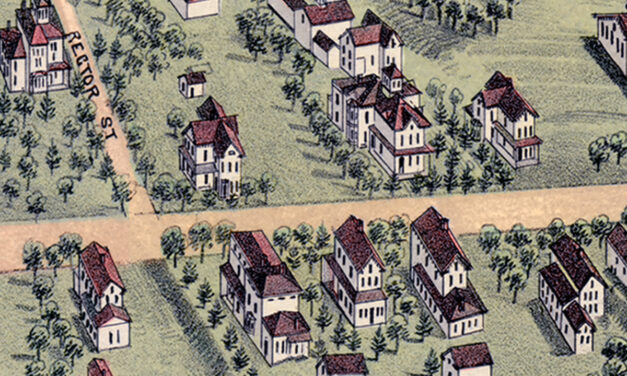
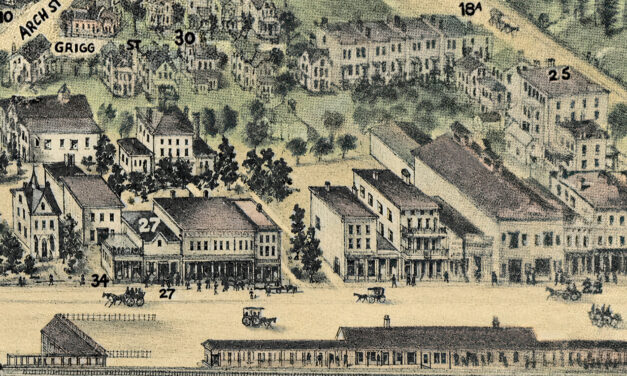
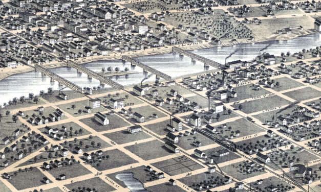
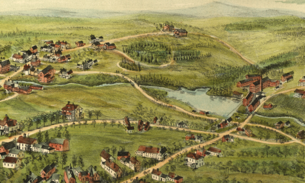
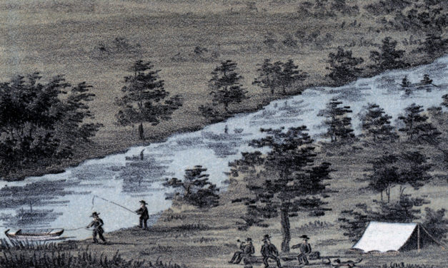
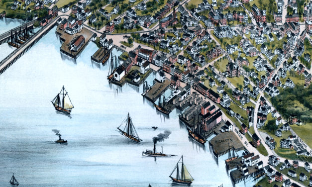
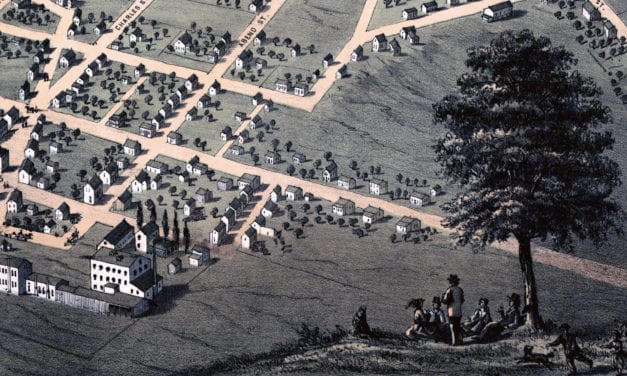
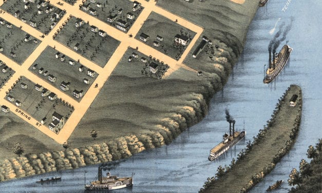
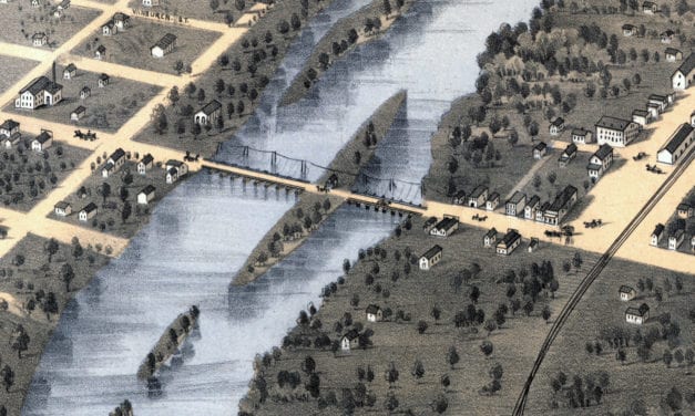
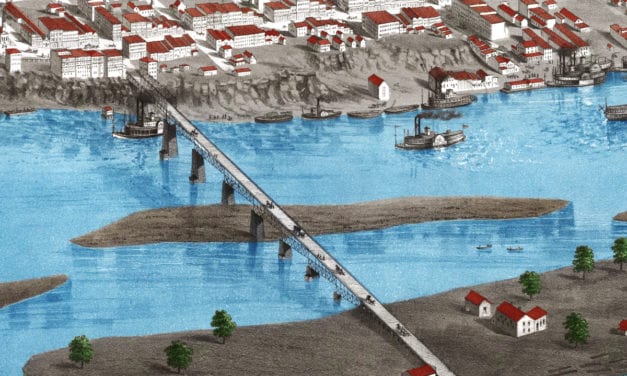
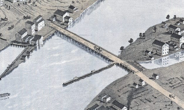
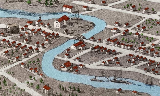
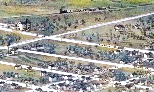
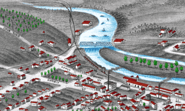
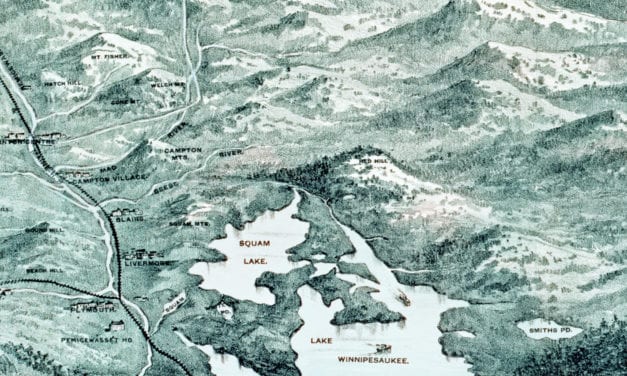
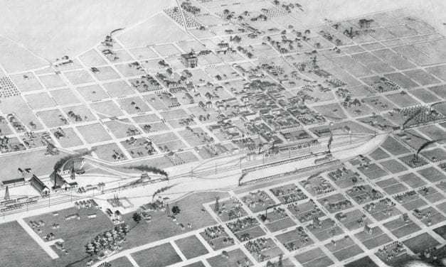
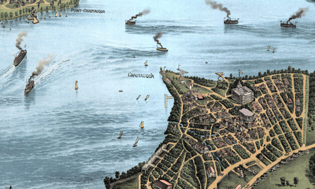
Restored Vintage Map of Chautauqua Lake from 1885

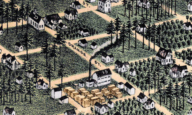
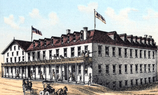
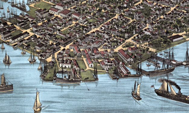
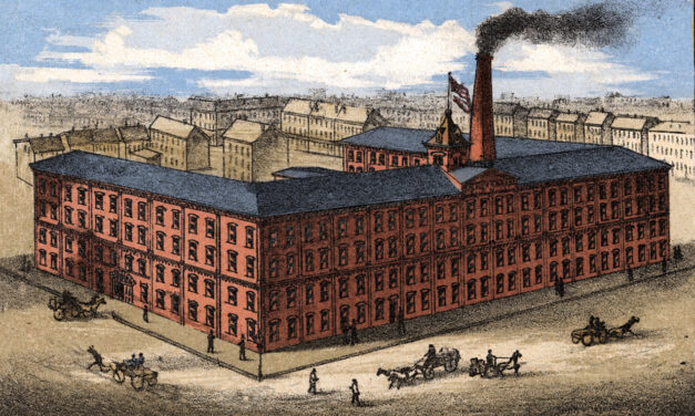
Vintage map of Lake Chautauqua, New York created in 1885 by the Matthews-Northrup Company of Buffalo, New York. The map shows a beautiful bird’s-eye view of Chautauqua Lake as it once was, with steamboats crossing the water, small lakefront communities along the shore, winding country roads, railroads, wooded hills, open farmland, hotels, docks, and summer places that shaped life around the lake in the late 1800s. This restored and colorized edition brings the historic view back to life while preserving the original linework, labels, and details of the 1885 map.

Read More

Vintage Map of Tallahassee, Florida 1885 | Restored & Colorized

Restored and colorized 1885 bird’s-eye view map of Tallahassee, Florida, showing the state capital as it once was. The map features the Capitol, University of Florida, State Seminary, Lincoln Academy, Leon Hotel, The Morgan, The Murat Place, churches, hotels, railroads, historic homes, businesses, and landmarks across Leon County.

Read More

Restored Vintage Map of Hoboken, New Jersey from 1881

This restored vintage map of Hoboken, New Jersey was originally created in 1881 and shows the city from a detailed bird’s-eye perspective. The map features Hoboken’s historic street grid, Hudson River waterfront, steamship piers, railroad yards, churches, factories, hotels, homes, civic buildings, and local landmarks. It has been carefully restored and colorized by KNOWOL to preserve the original linework while bringing the historic view of Hoboken to life.

Read More

Restored Vintage Map of Bethel, Connecticut from 1879

This vintage map of Bethel, Connecticut was created in 1879 by O.H. Bailey, a prominent 19th century map maker. The map shows a bird’s eye view of Bethel as it once was, including street names, railroads, factories, churches, homes, and old landmarks. The map captures Bethel during the height of its 19th century growth, when the town was closely tied to the hat-making industry and the Danbury & Norwalk Railroad.

Read More

Restored Vintage Map of Elgin, Illinois from 1930

This vintage map is titled “Elgin Past and Present, and was produced in 1930 by the Elgin Branch of the American Association of Women. This animated historical map was created ninety five years after the town was formed, and highlights historical sights and landmarks.

Read More

Beautifully Detailed Map of Barre, MA from 1891

Step back in time to 1891 Barre, Massachusetts, with this captivating bird’s-eye view map. Discover the town’s booming granite industry, iconic landmarks, and bustling community life. Explore historical details, from factories and railroads to cemeteries and public squares. Own a piece of Barre’s history and uncover the fascinating story of this once-thriving town.

Read More

Alfred Adler’s Teachings and Advice for Personal Growth and Well-Being

Discover the profound teachings and insightful advice of Alfred Adler, the renowned psychologist and founder of individual psychology. Explore how Adler’s revolutionary concepts can guide you towards personal growth, improved mental health, and meaningful relationships. Gain valuable insights into social interest, striving for superiority, and a holistic perspective that integrates physical, psychological, and social aspects. Learn how Adler’s teachings can help you overcome an inferiority complex, find purpose, and make positive lifestyle changes. Dive into the wisdom of Adlerian psychology and embark on a transformative journey towards self-discovery, resilience, and fulfillment. Uncover the timeless relevance of Adler’s teachings and apply them to enhance your well-being and thrive in all areas of your life.

Read More

Vintage Property Map of Easton, Connecticut from 1867

This vintage landowners map of Easton, Connecticut was created in 1867 by Frederick W. Beers. a prominent 19th century map maker. Beers was a prominent American map maker and publisher during the 19th century. He began his career as a civil engineer and surveyor, and later established the firm of F.W. Beers, A.D. Ellis & Co. in 1866.

Read More

Vintage Map of Rochester, Minnesota from 1869

Historic Rochester landmarks on the map include Bear Creek, Lumbro River, Rochester Railroad Depot, Public School, Court House, and Baptist, Congregational, Episcopal, Methodist, German Methodist, Presbyteria, Universalist, and Roman Catholic Churches.

Read More