
Bird’s Eye View
Explore the archive through editorial features, geography, and historical collections.
 Texas
Texas
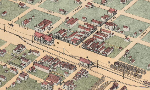
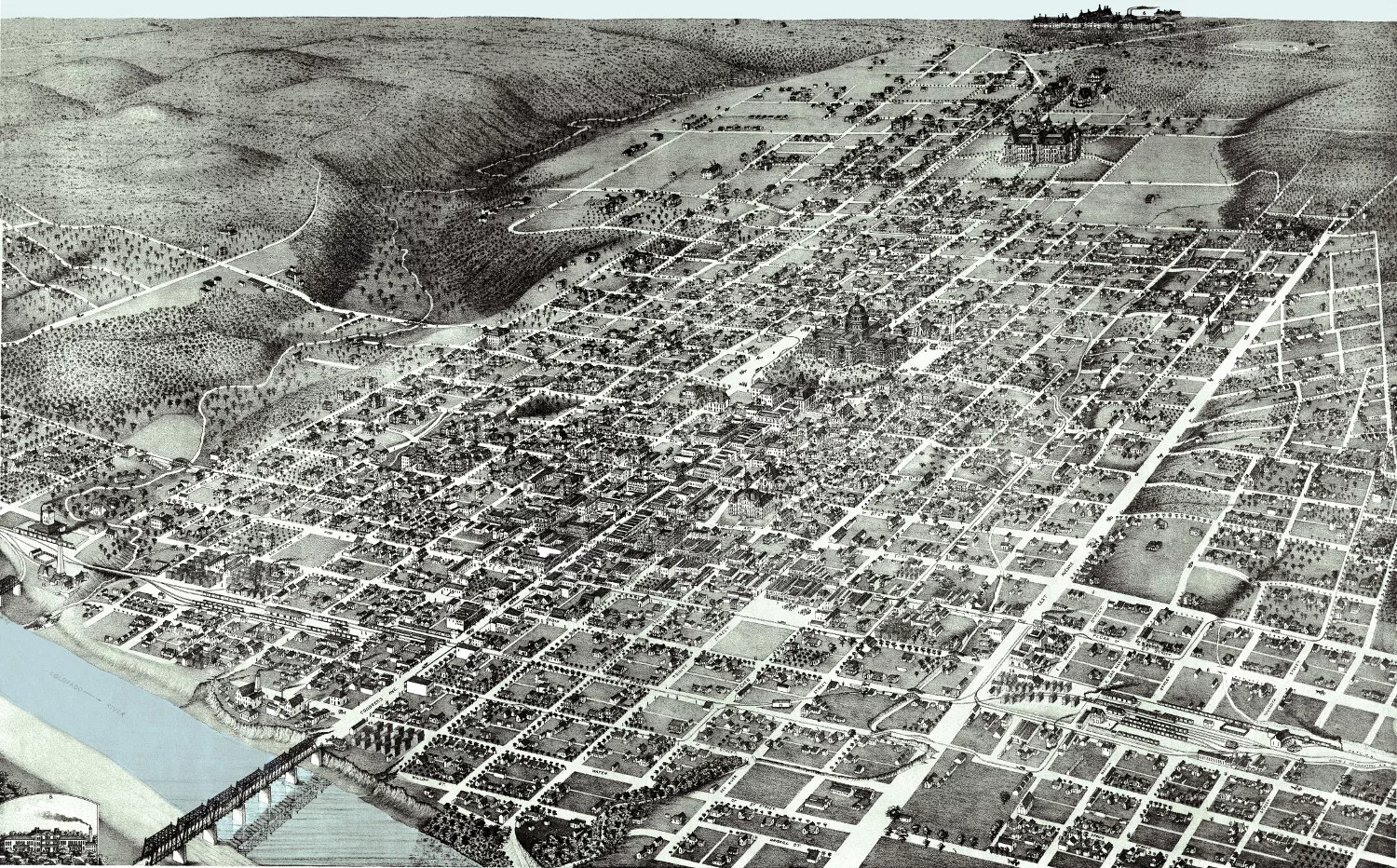
Vintage Map of Abilene, Texas 1883
This vintage map of Abilene, Texas was created in 1883 by Augustus Koch, a prominent 19th-century panoramic map artist known for his detailed bird’s-eye views of American towns and cities. The map shows Abilene only two years after the Texas and Pacific Railway arrived, capturing the young West Texas city at the very beginning of its growth.
 Iowa
Iowa
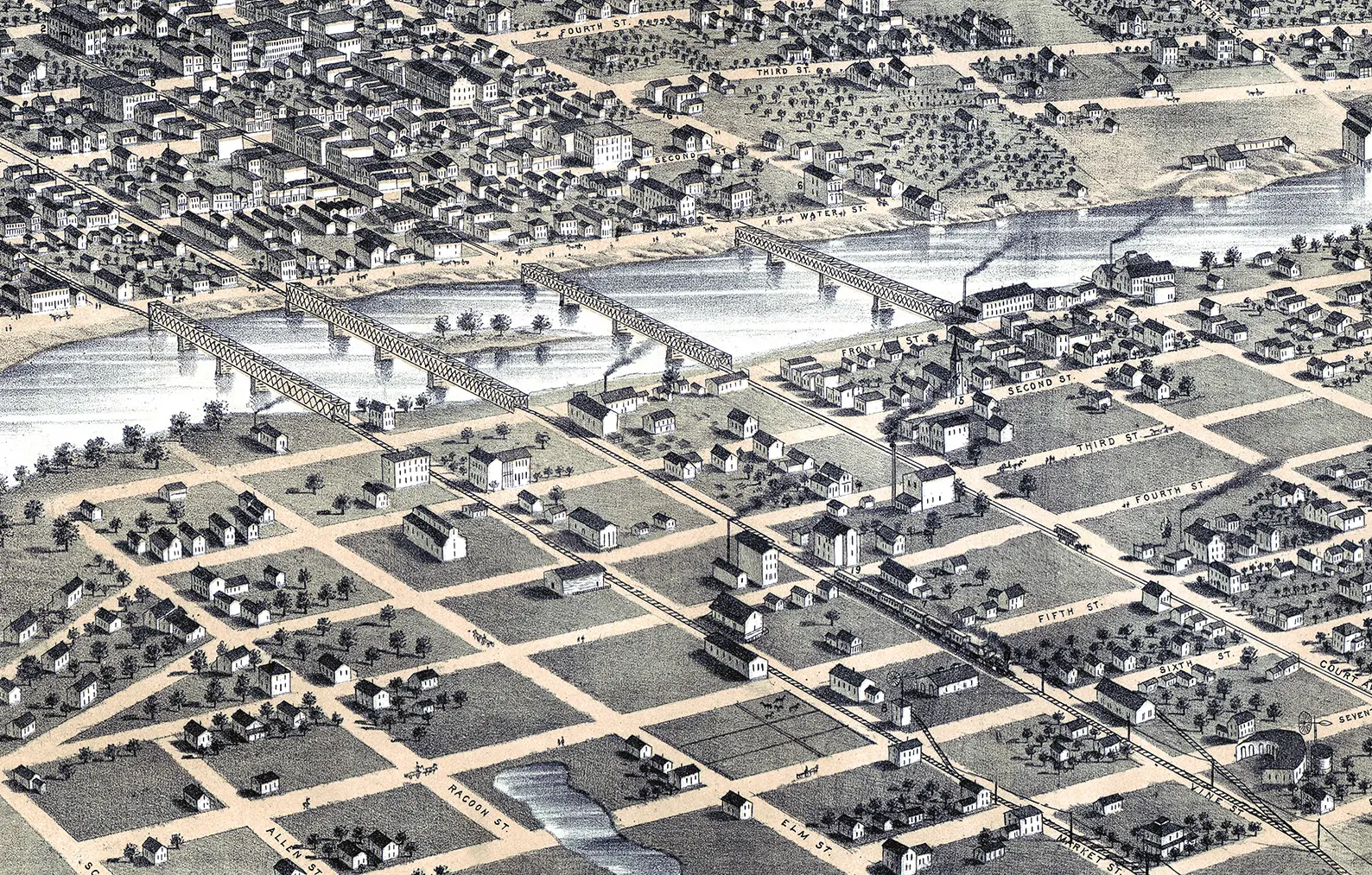
Beautifully Restored Map of Des Moines, Iowa from 1868
Explore the streets and landmarks of Des Moines as they appeared in 1868. This meticulously restored map by A. Ruger showcases the city's early development, including the Capitol, schools, churches, and transportation hubs.
 Massachusetts
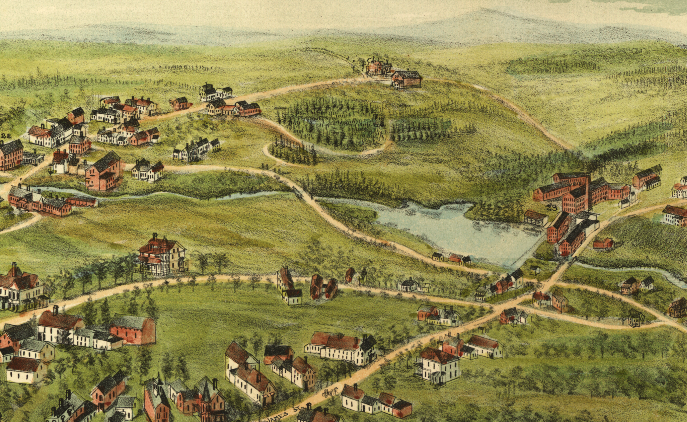
Beautifully Detailed Map of Barre, MA from 1891
Step back in time to 1891 Barre, Massachusetts, with this captivating bird's-eye view map. Discover the town's booming granite industry, iconic landmarks, and bustling community life. Explore historical details, from factories and railroads to cemeteries and public squares. Own a piece of Barre's history and uncover the fascinating story of this once-thriving town.
 Illinois
Historic bird’s eye view of Belleville, Illinois in 1867
Historic bird's eye view of Belleville, Illinois from 1867
 Illinois
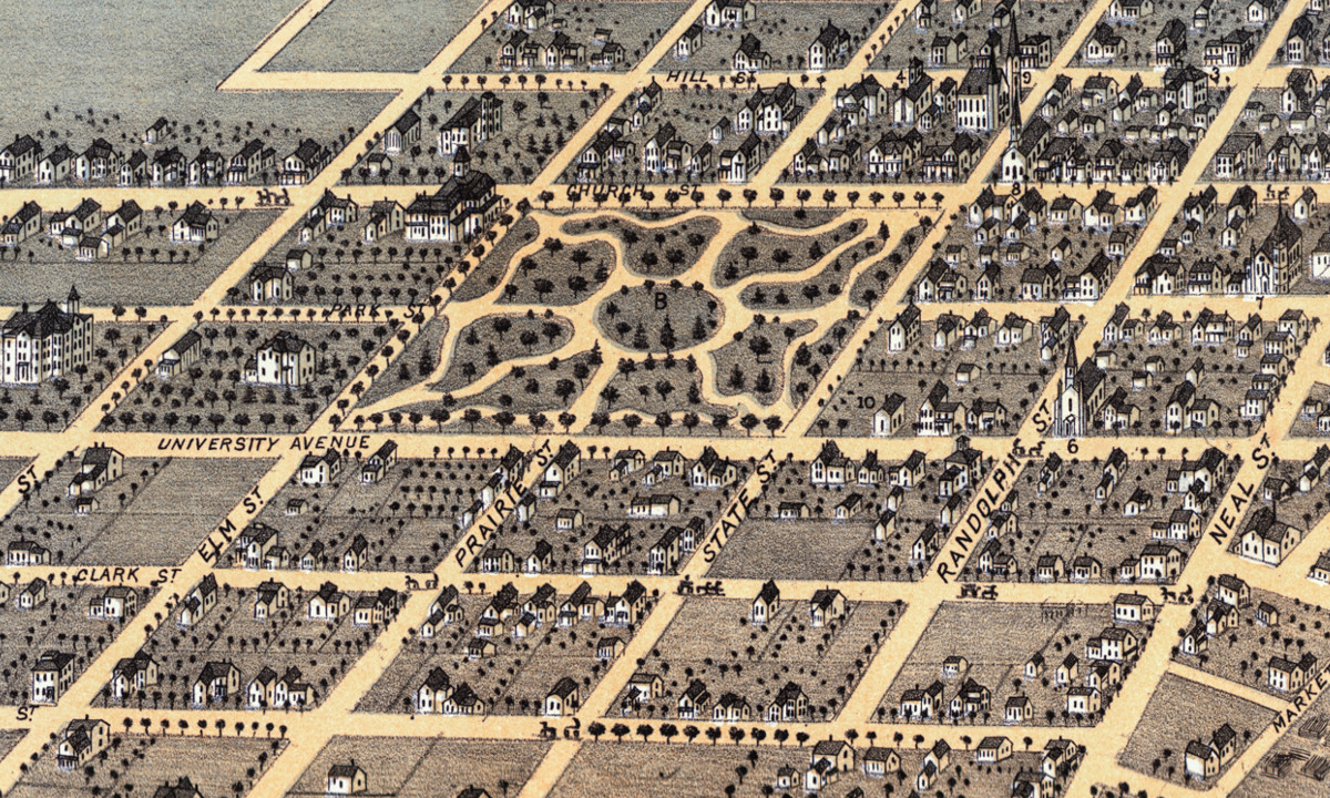
Beautifully restored map of Champaign, Illinois from 1869
This historic map of Champaign, Illinois was created in 1869 by Albert Ruger, a prominent 19th century map maker. The map shows a bird's…
 Texas
Texas
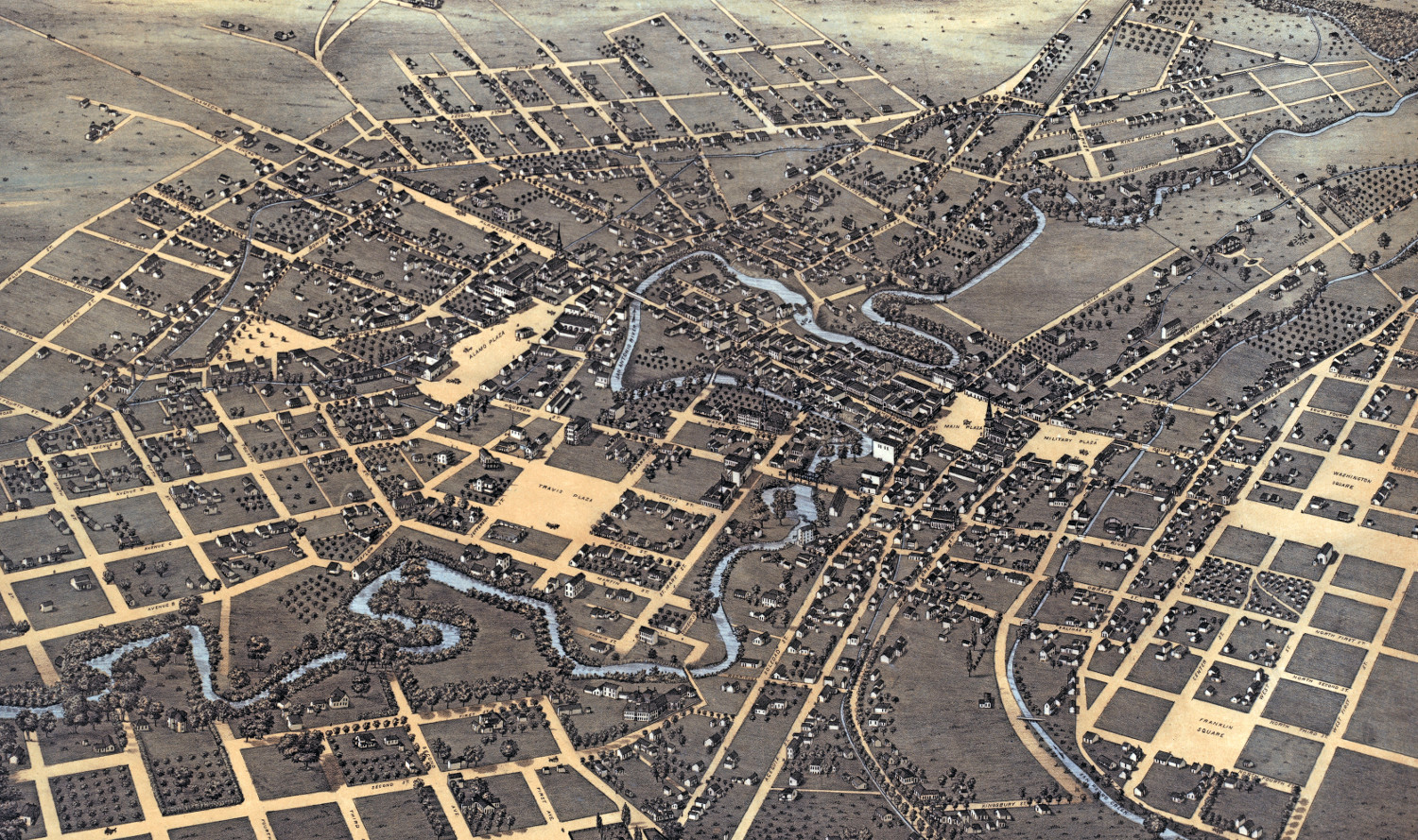
Beautifully detailed map of San Antonio, Texas from 1873
Historic bird's eye view of San Antonio, Texas from 1873
 New Jersey
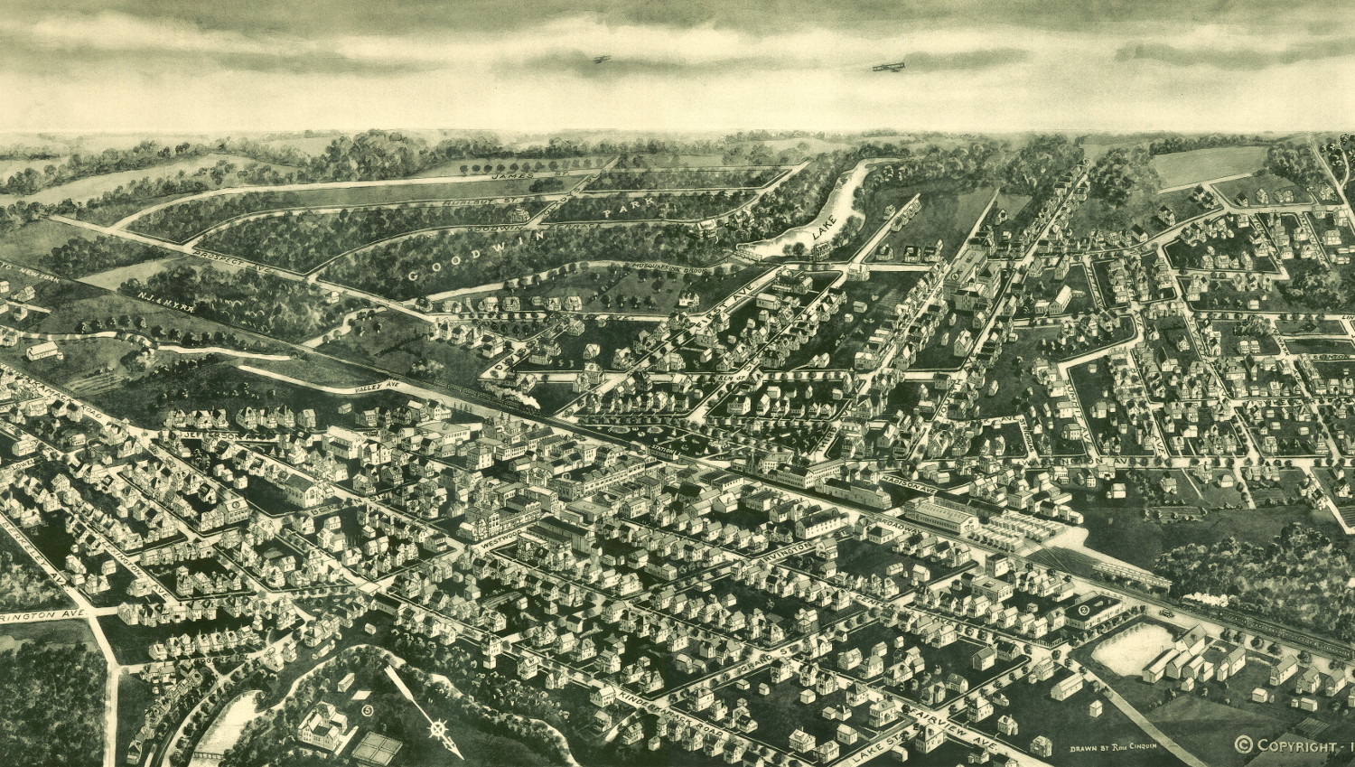
Historic view of Westwood, NJ: Restored map shows city in 1924
Beautifully detailed map of Westwood, NJ from 1924
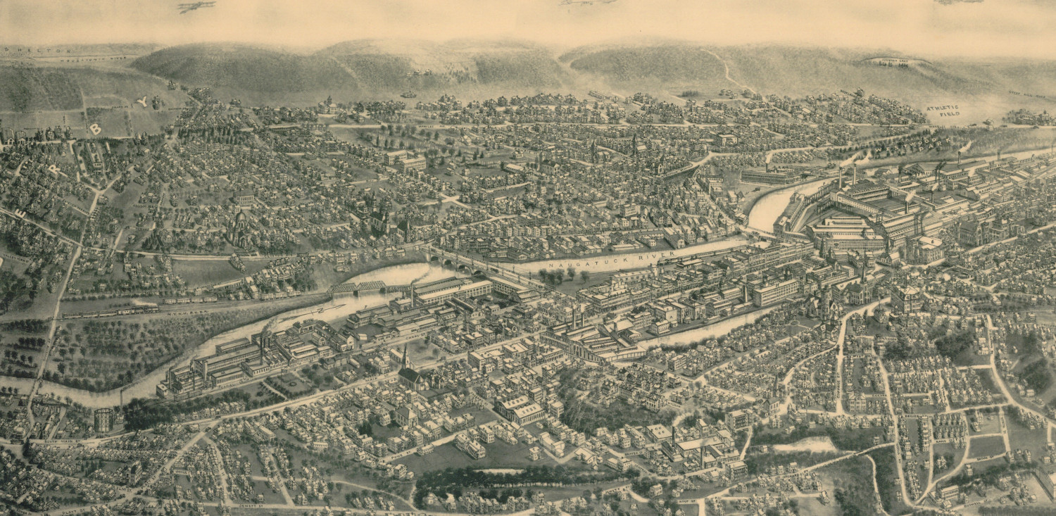
 Connecticut
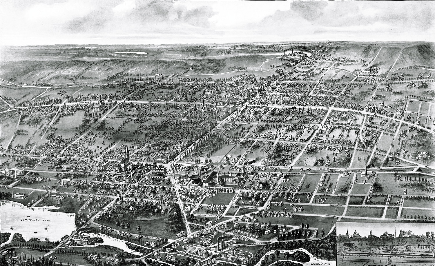
Beautifully detailed map of Wallingford, CT from 1905
Wallingford, Connecticut in the 19th century.
 Texas
Texas
Historic Bird’s Eye View of Austin, Texas in 1887
Historic bird's eye view of Austin, Texas in 1887
 Pennsylvania
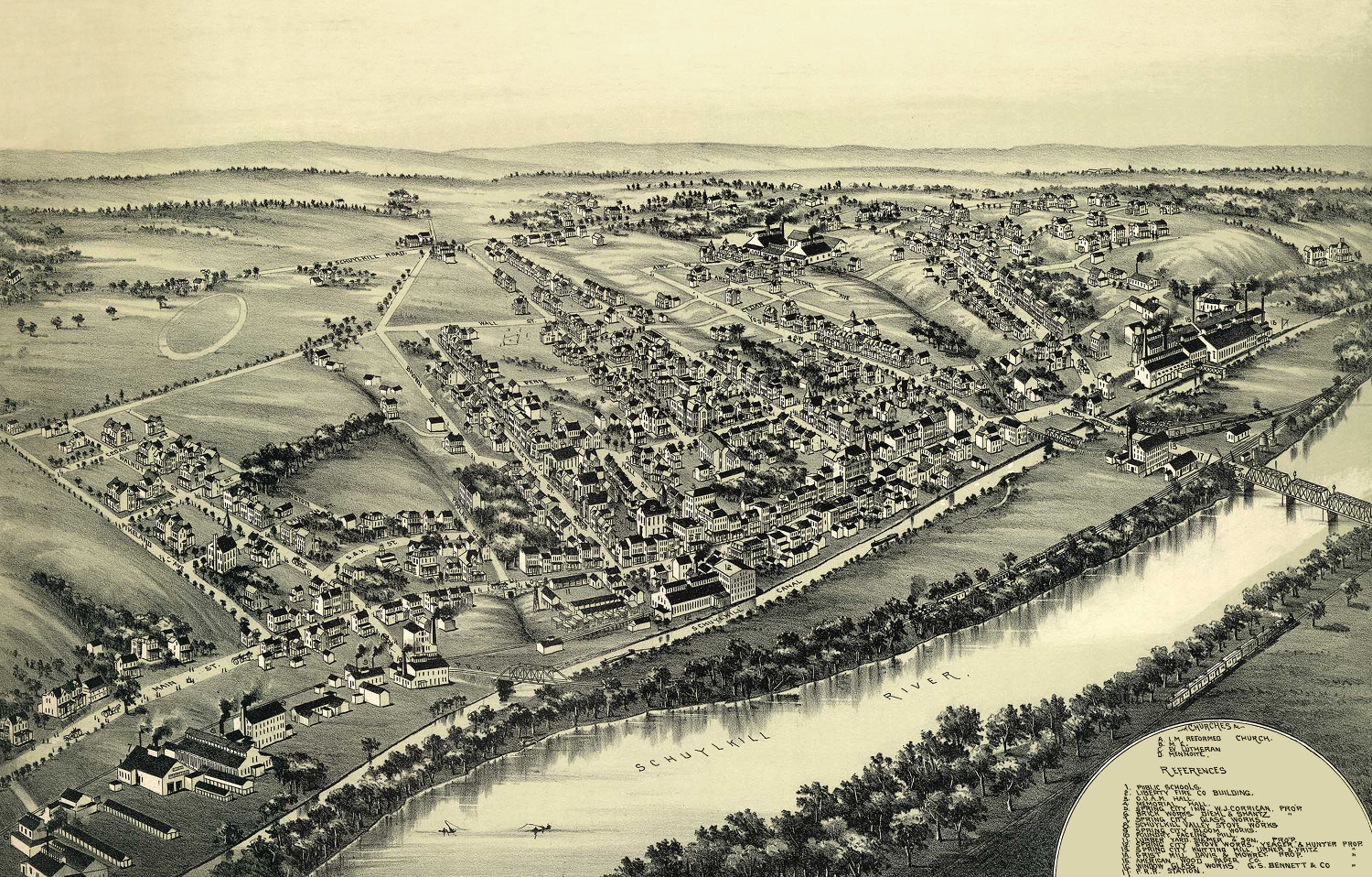
Beautifully restored map of Spring City, PA from 1893
Bird's eye view of Spring City, PA in 1893
 Vermont
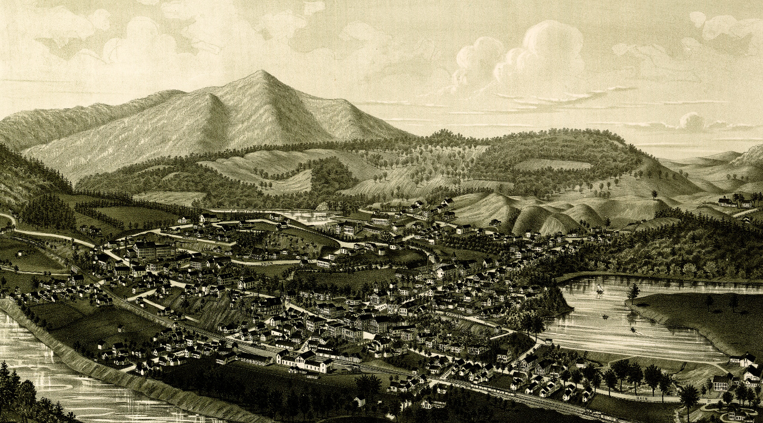
Historic map shows bird’s eye view of Windsor, VT in 1886
Bird's eye view of Windsor, Vermont in 1886
 Connecticut
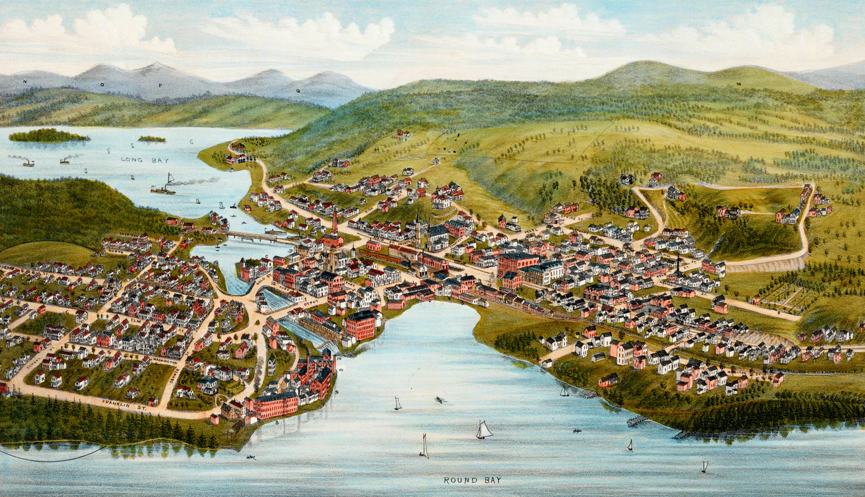
Historic map of Stratford, Connecticut from 1882
Historic bird's eye view of Stratford, Connecticut from 1882
 New Hampshire
Vintage map of Lake Village & Laconia, New Hampshire in 1883
Bird's eye view of Lake Village, NH in 1883. The town is now known as Lakeport, in Laconia New Hampshire.
 New Hampshire
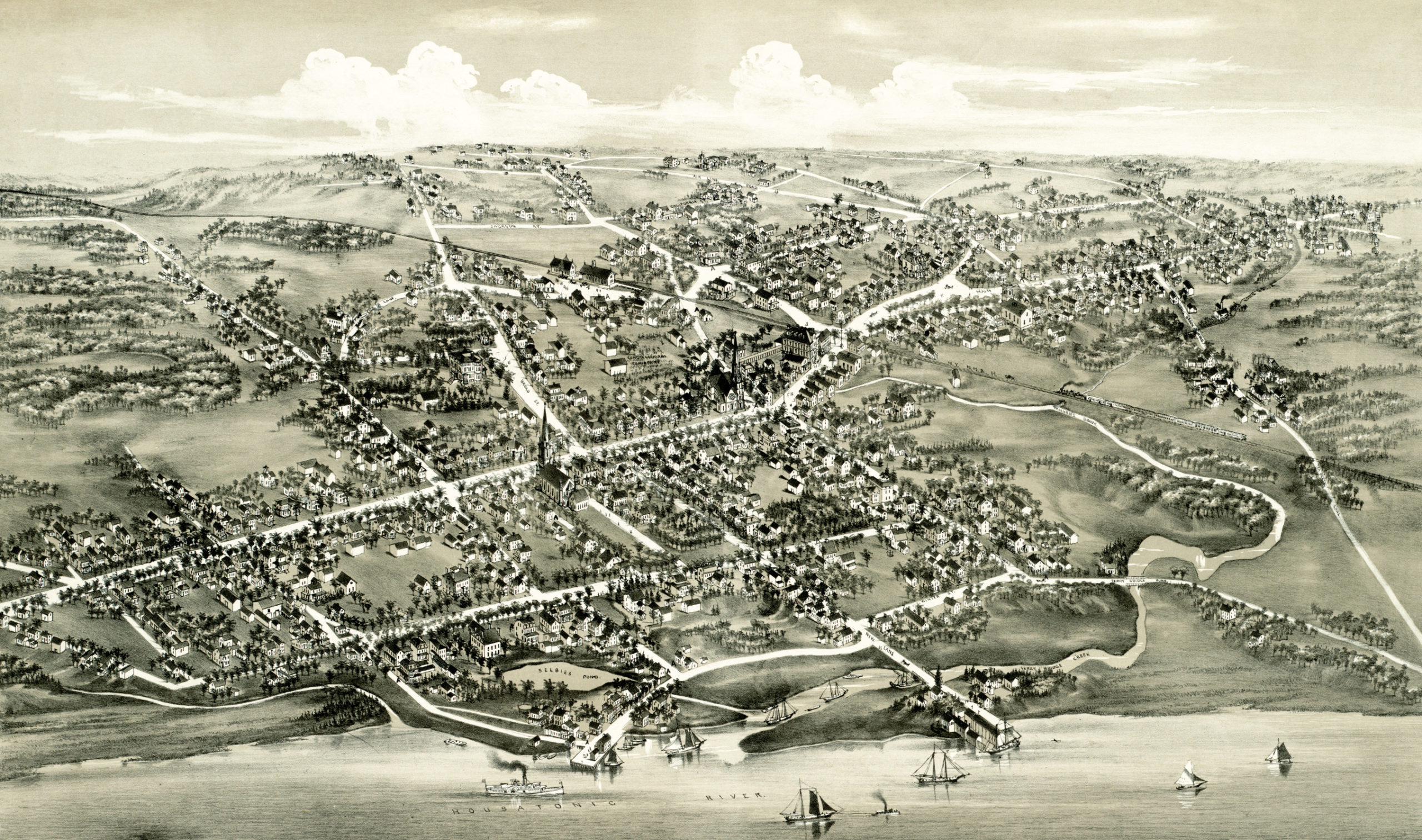
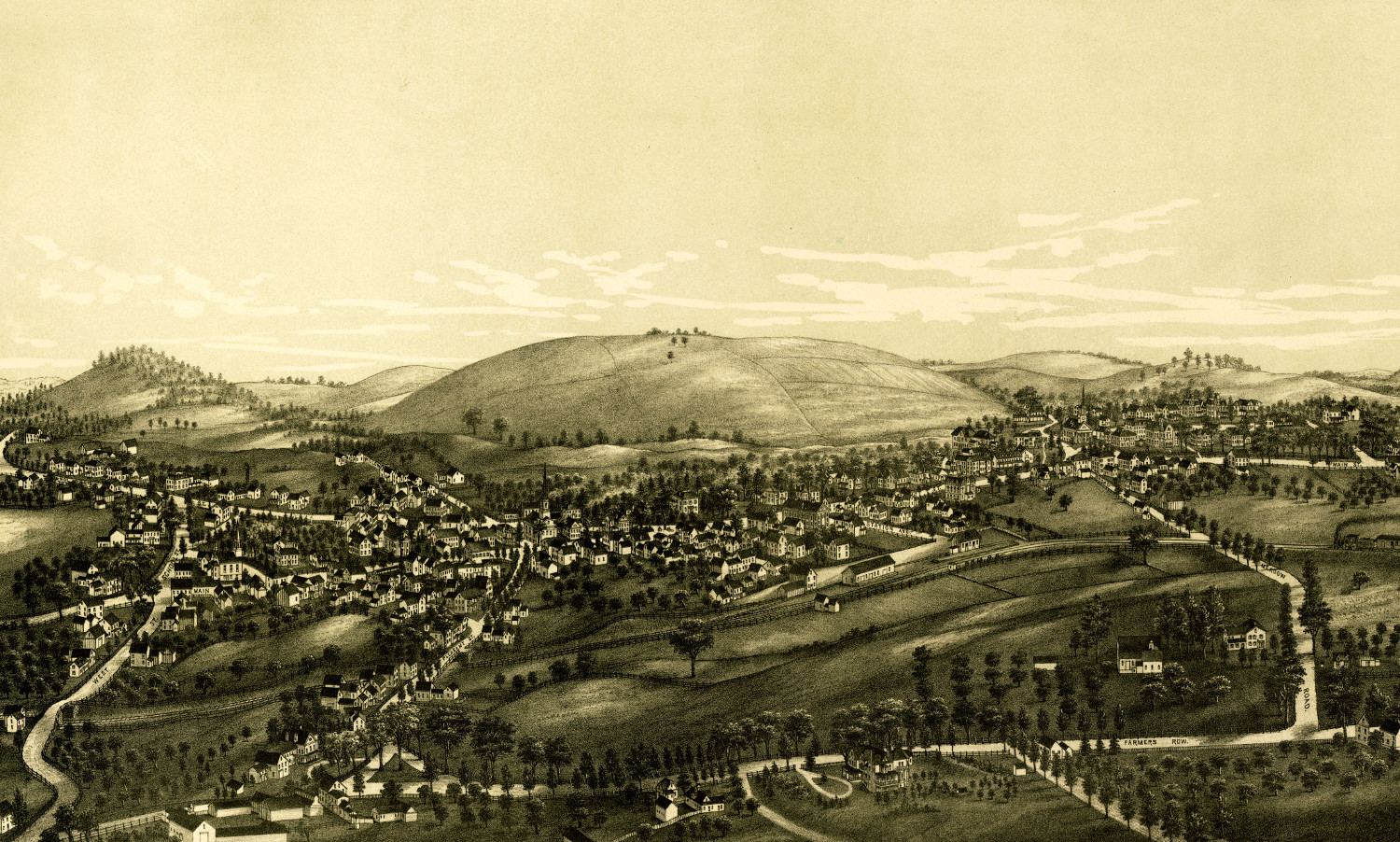
Bird’s Eye View of Winchester, New Hampshire in 1887
Bird's eye view of Winchester, NH in 1887
 Pennsylvania
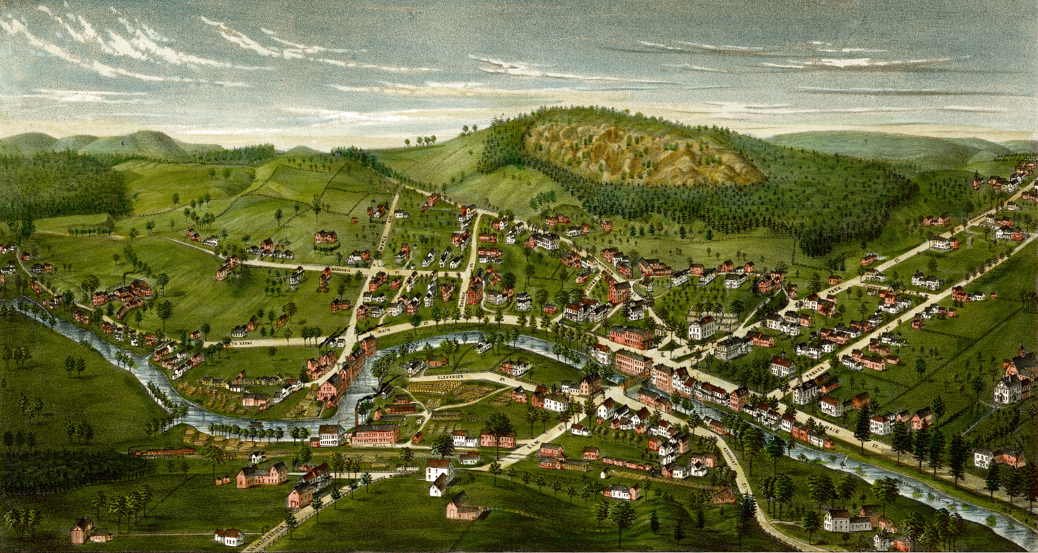
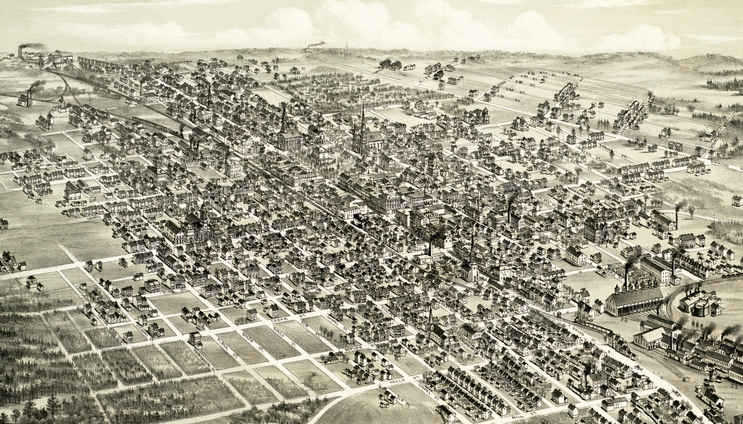
Historic map of Hazleton, Pennsylvania from 1884
Historic bird's eye view of Hazleton, Pennsylvania from 1886
 Massachusetts
Beautifully restored map of Groton, Massachusetts from 1886
Bird's eye view of Groton, Massachusetts in 1886
 Connecticut
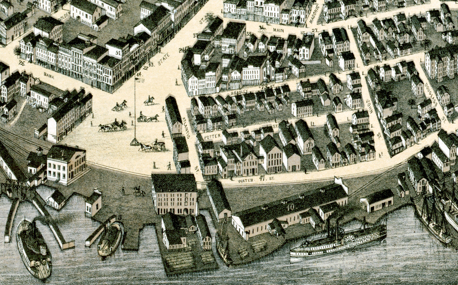
Beautifully restored map of New London, Connecticut from 1876
Bird's eye view of New London, Connecticut in 1876
 Pennsylvania
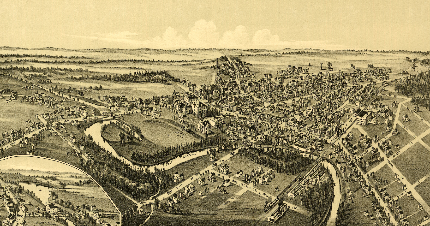
Historic map of Grove City, Pennsylvania from 1901
Bird's eye view of Grove City, PA in 1901
 New Jersey
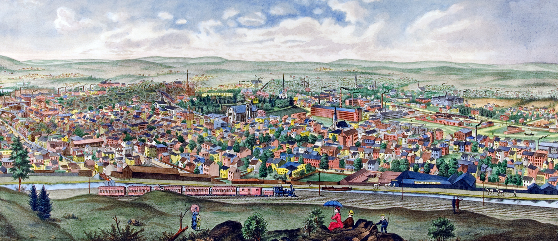
Paterson, New Jersey in 1880: Restored image shows Prosperous Paterson
Click here to see a bird's eye view of Paterson, NJ in 1880
 Texas
Texas
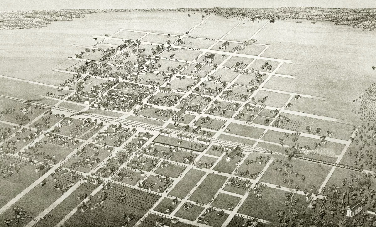
Beautifully restored map of Cuero, Texas from 1881
Bird's eye view of Cuero, TX in 1881
 Connecticut
Beautifully restored map of Ansonia, Connecticut from 1921
Old map showing an aerial view of Ansonia, Connecticut from 1921