Detailed Map of Forked River, New Jersey
A detailed 2026 aerial map of Forked River, New Jersey, with its streets, buildings, and the places printed on the artwork.
Read More
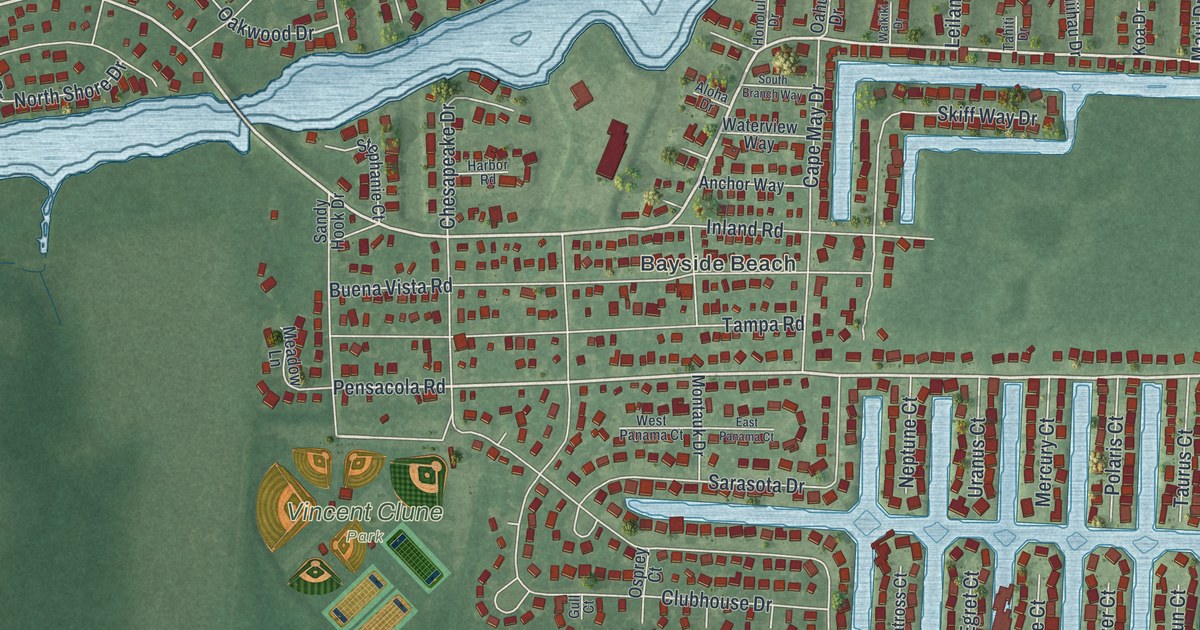
A detailed 2026 aerial map of Forked River, New Jersey, with its streets, buildings, and the places printed on the artwork.
Read More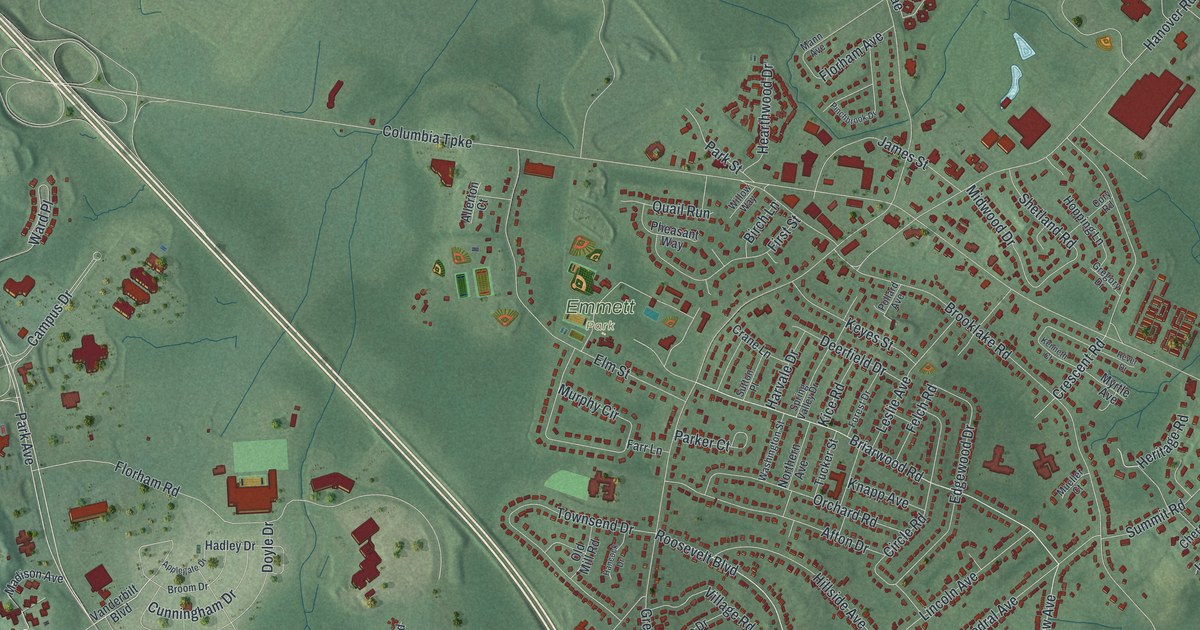
A detailed 2026 aerial map of Florham Park, New Jersey, with its streets, buildings, and the places printed on the artwork.
Read More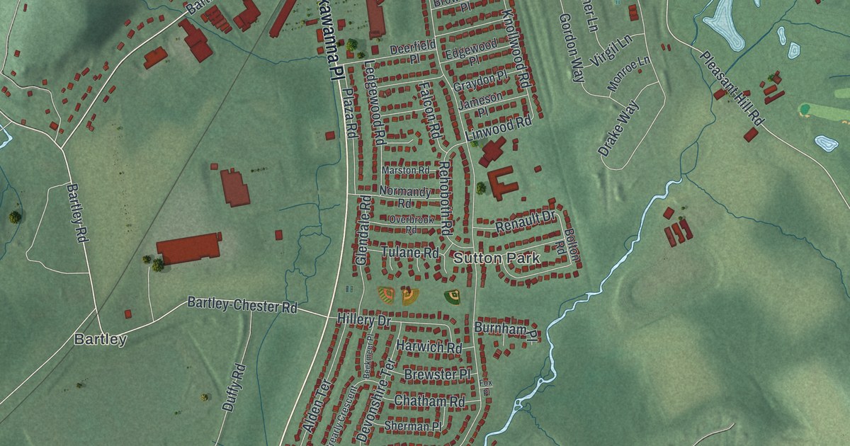
A detailed 2026 aerial map of Flanders, New Jersey, with its streets, buildings, and the places printed on the artwork.
Read More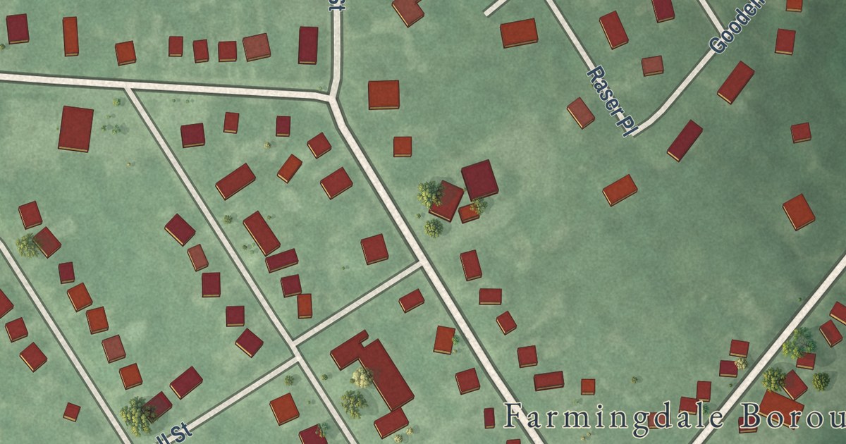
A detailed 2026 aerial map of Farmingdale, New Jersey, with its streets, buildings, and the places printed on the artwork.
Read More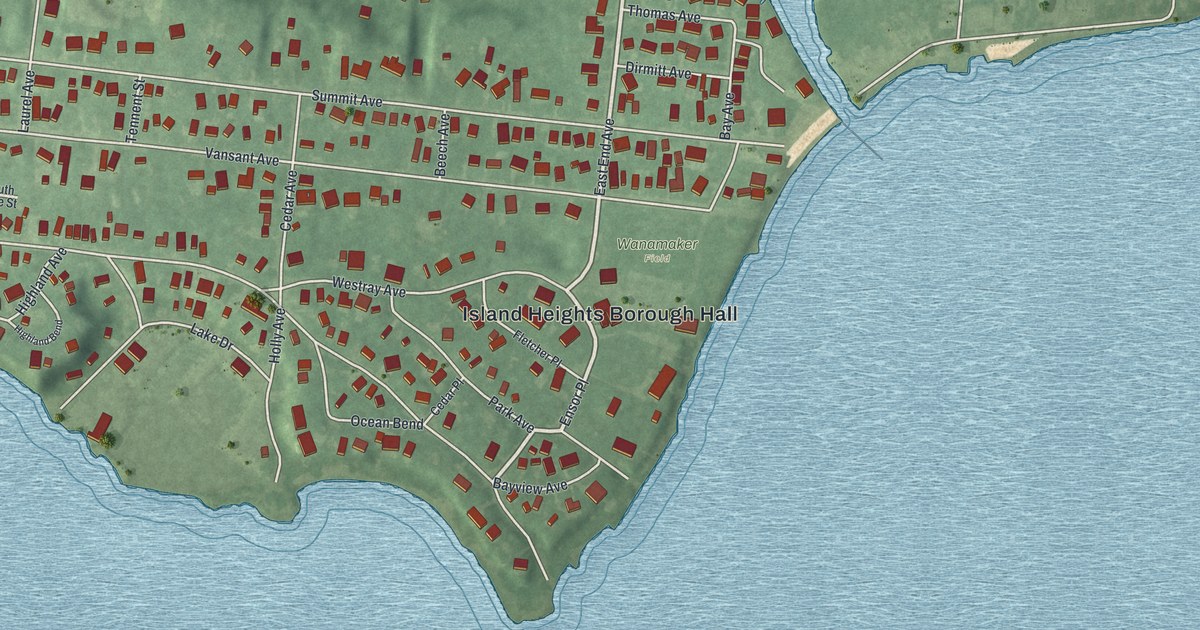
A detailed 2026 aerial map of Island Heights, New Jersey, with its streets, buildings, and the places printed on the artwork.
Read More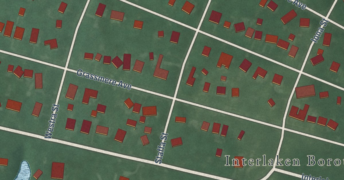
A detailed 2026 aerial map of Interlaken, New Jersey, with its streets, buildings, and the places printed on the artwork.
Read More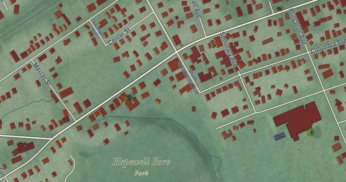
A detailed 2026 aerial map of Hopewell Borough, Mercer County, New Jersey, with its streets, buildings, and the places printed on the artwork.
Read More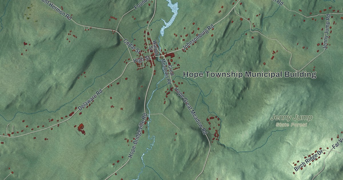
A detailed 2026 aerial map of Hope, New Jersey, with its streets, buildings, and the places printed on the artwork.
Read More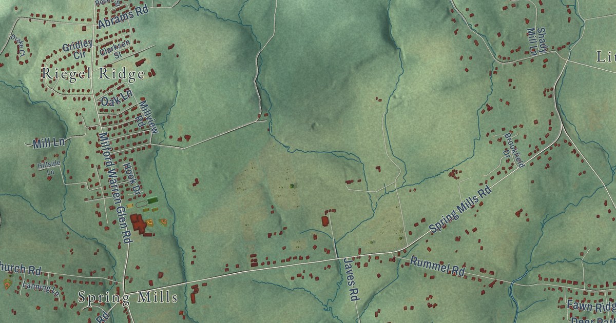
A detailed 2026 aerial map of Holland, New Jersey, with its streets, buildings, and the places printed on the artwork.
Read More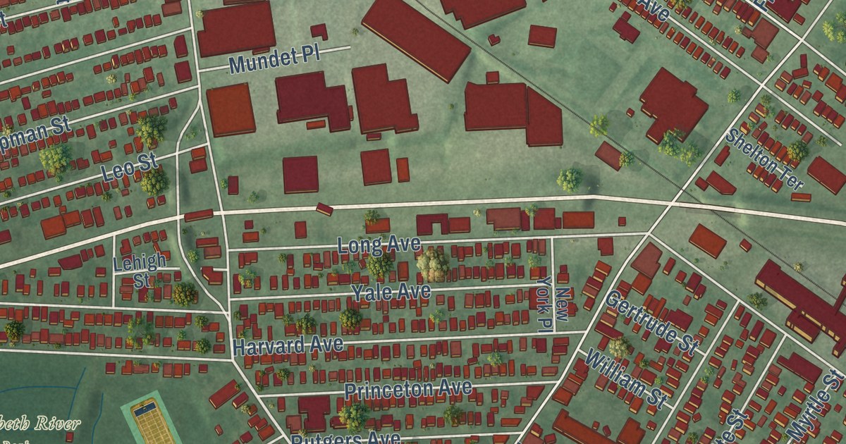
Hillside, New Jersey on KNOWOL’s 2026 map: 6,599 buildings from Liberty Avenue to North Broad Street, and the authors buried at Evergreen Cemetery.
Read More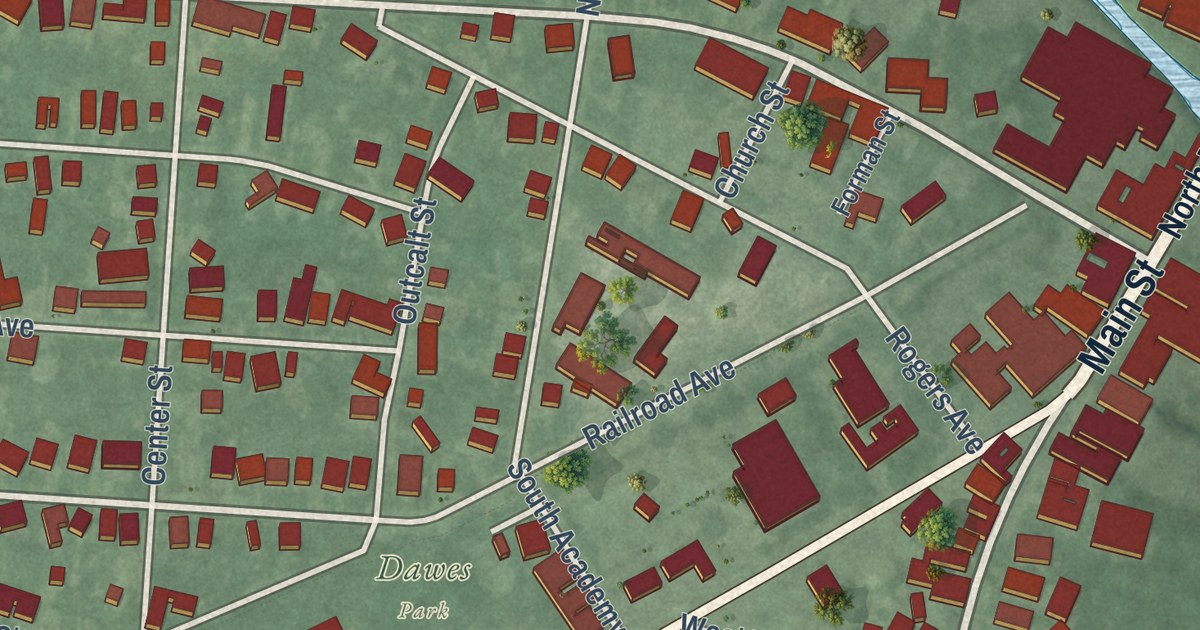
A detailed 2026 aerial map of Hightstown, New Jersey, with its streets, buildings, and the places printed on the artwork.
Read More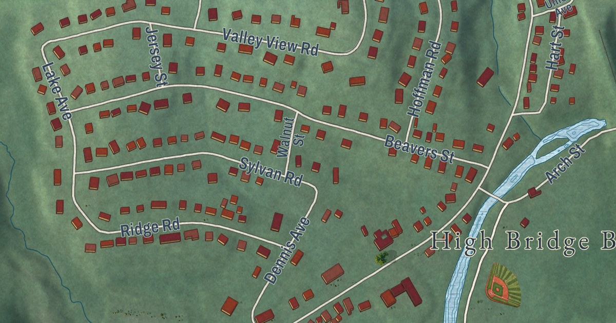
A detailed 2026 aerial map of High Bridge, New Jersey, with its streets, buildings, and the places printed on the artwork.
Read More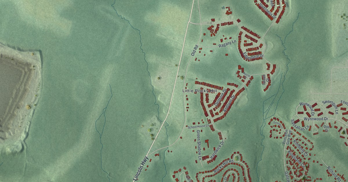
A detailed 2026 aerial map of Heathcote, New Jersey, with its streets, buildings, and the places printed on the artwork.
Read More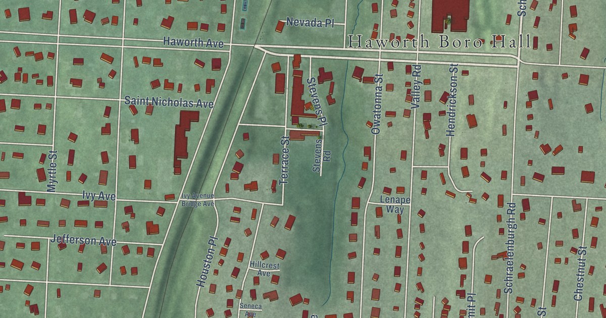
A detailed 2026 aerial map of Haworth, New Jersey, with its streets, buildings, and the places printed on the artwork.
Read More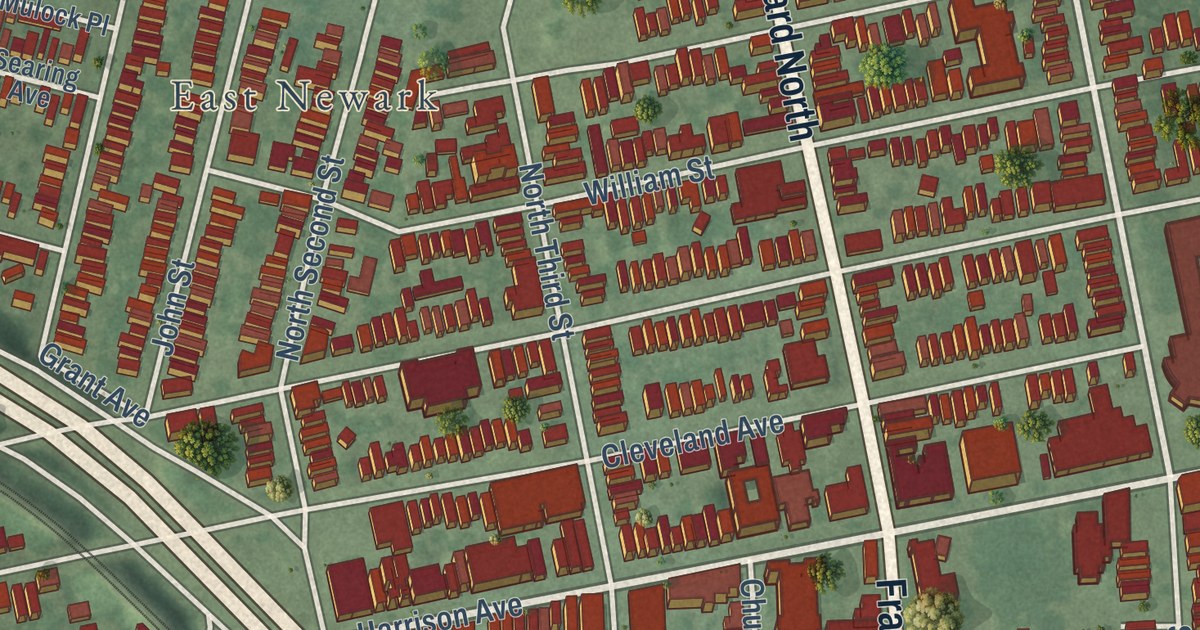
A detailed 2026 aerial map of Harrison, Hudson County, New Jersey, with its streets, buildings, and the places printed on the artwork.
Read More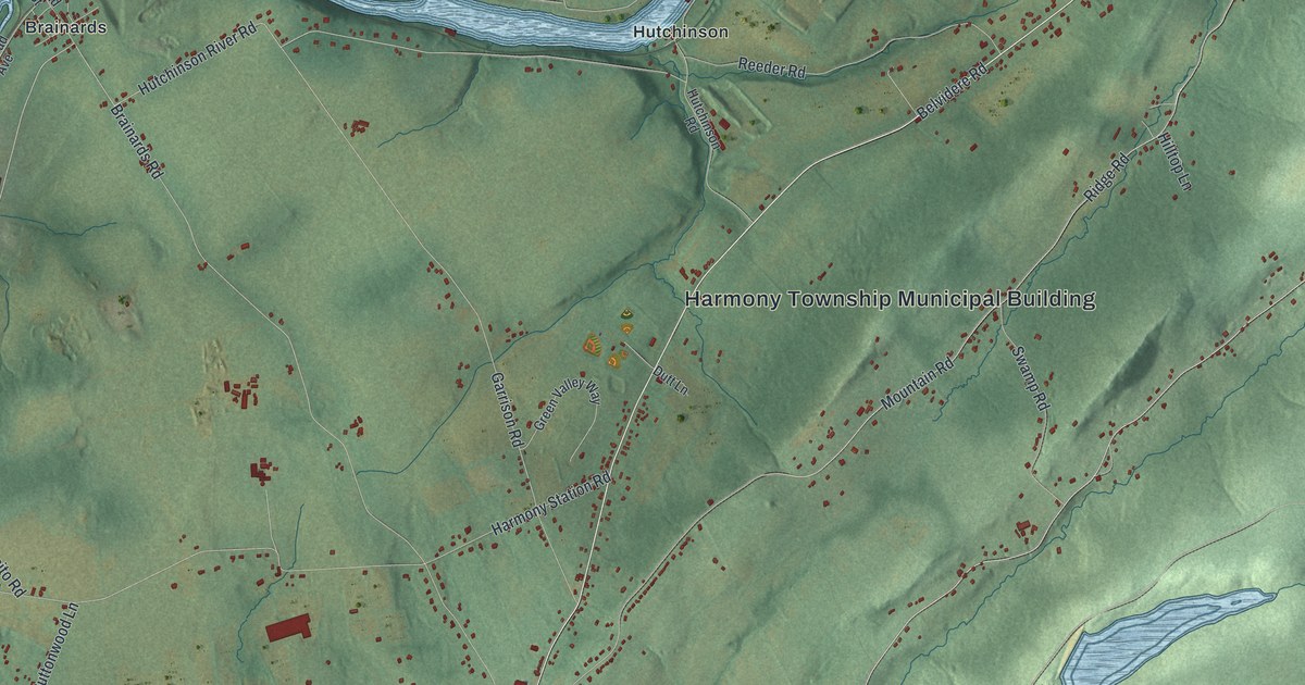
A detailed 2026 aerial map of Harmony, New Jersey, with its streets, buildings, and the places printed on the artwork.
Read More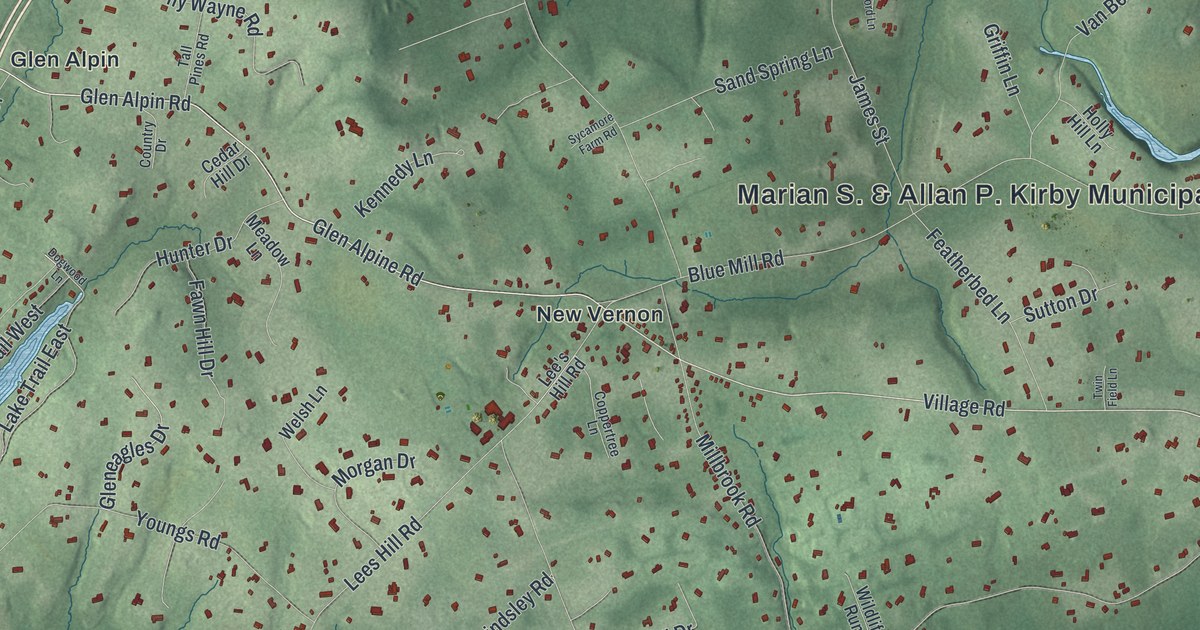
A detailed 2026 aerial map of Harding, New Jersey, with its streets, buildings, and the places printed on the artwork.
Read More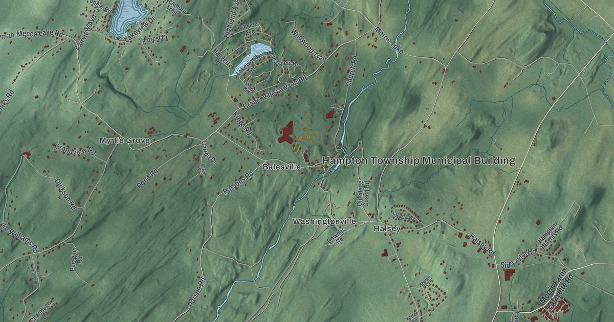
A detailed 2026 aerial map of Hampton, Sussex County, New Jersey, with its streets, buildings, and the places printed on the artwork.
Read More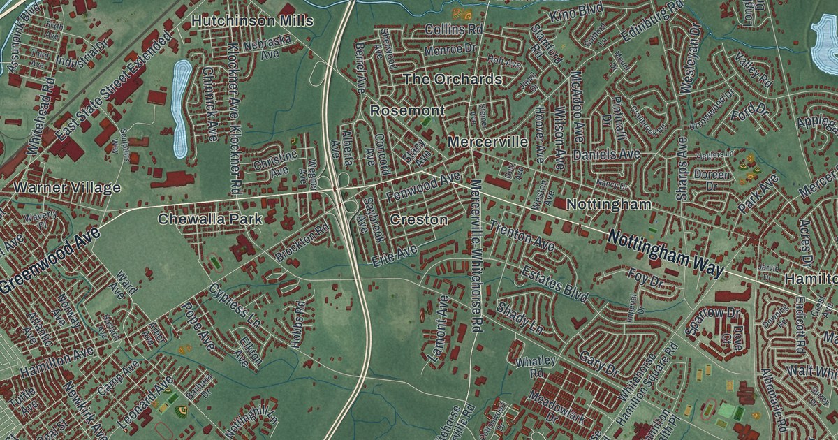
A detailed 2026 aerial map of Hamilton, Mercer County, New Jersey, with its streets, buildings, and the places printed on the artwork.
Read More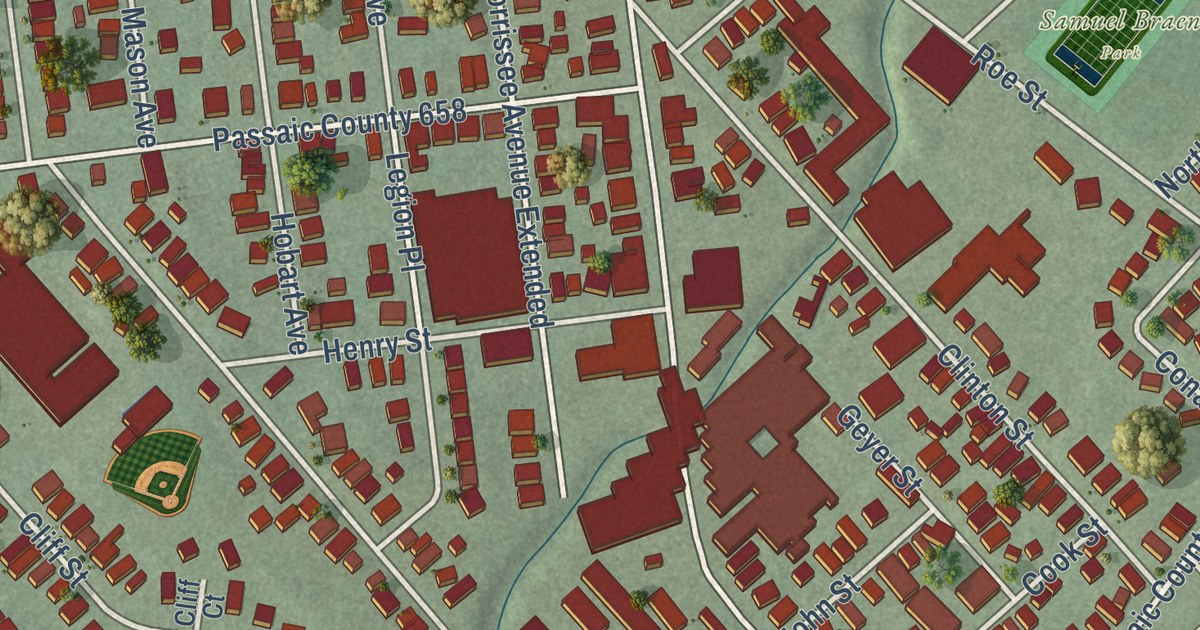
A detailed 2026 aerial map of Haledon, New Jersey, with its streets, buildings, and the places printed on the artwork.
Read More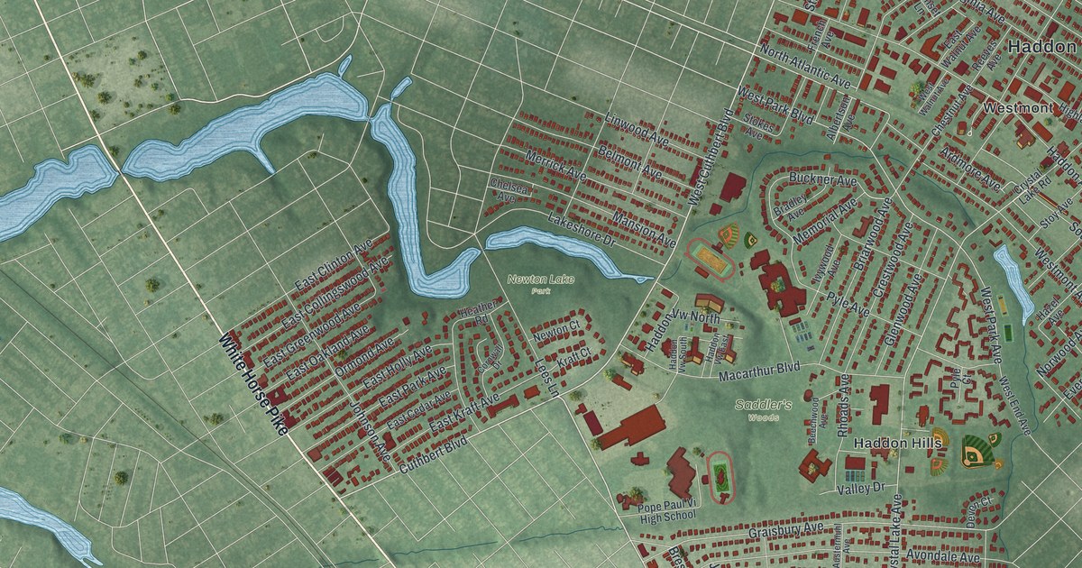
A detailed 2026 aerial map of Haddon, New Jersey, with its streets, buildings, and the places printed on the artwork.
Read More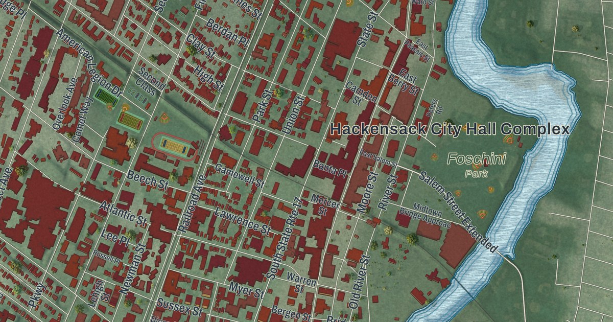
A detailed 2026 aerial map of Hackensack, New Jersey, with its streets, buildings, and the places printed on the artwork.
Read More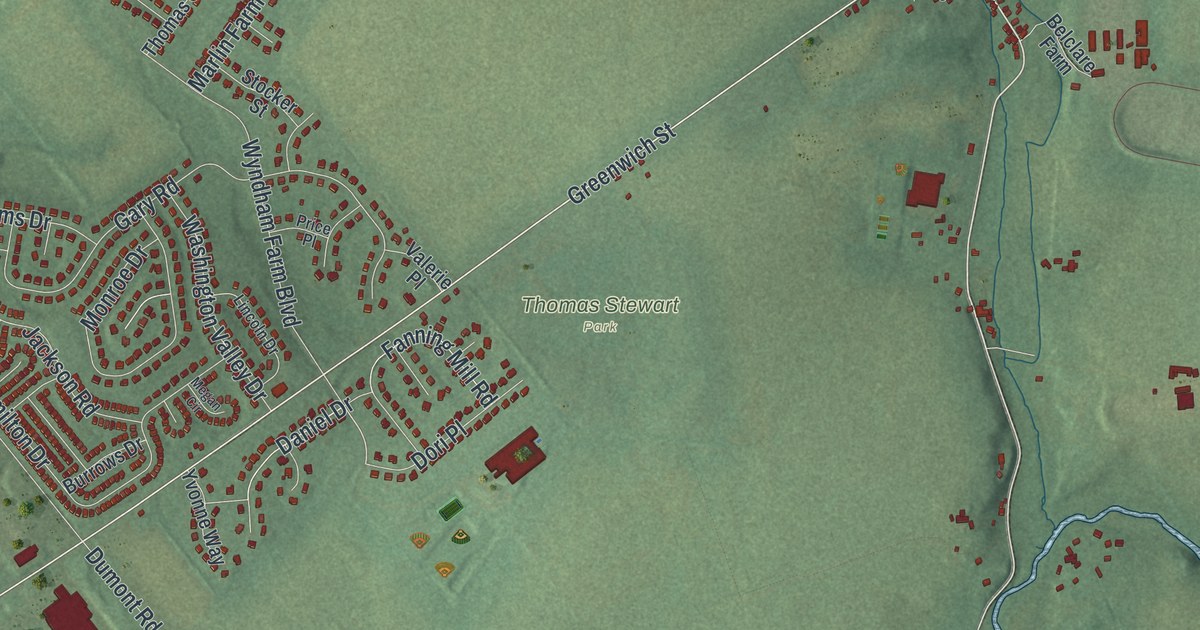
A detailed 2026 aerial map of Greenwich, Warren County, New Jersey, with its streets, buildings, and the places printed on the artwork.
Read More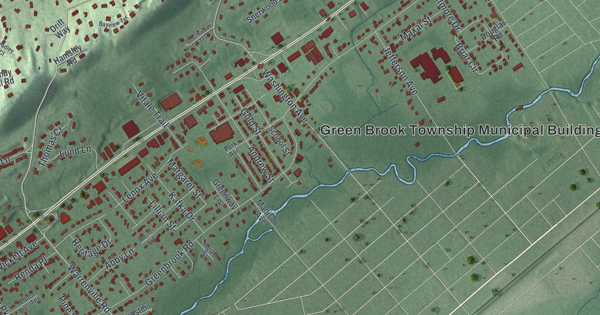
A detailed 2026 aerial map of Green Brook, New Jersey, with its streets, buildings, and the places printed on the artwork.
Read More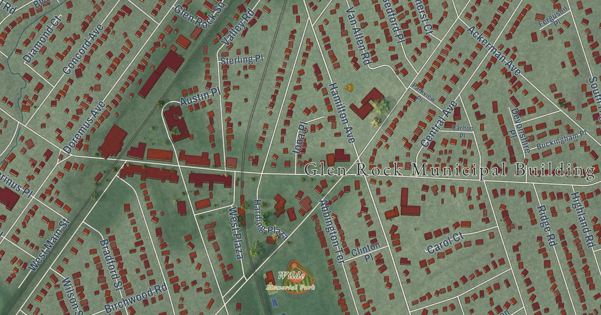
A detailed 2026 aerial map of Glen Rock, New Jersey, with its streets, buildings, and the places printed on the artwork.
Read More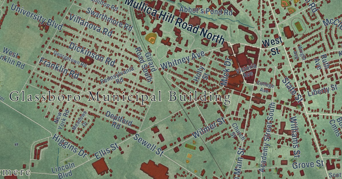
A detailed 2026 aerial map of Glassboro, New Jersey, with its streets, buildings, and the places printed on the artwork.
Read More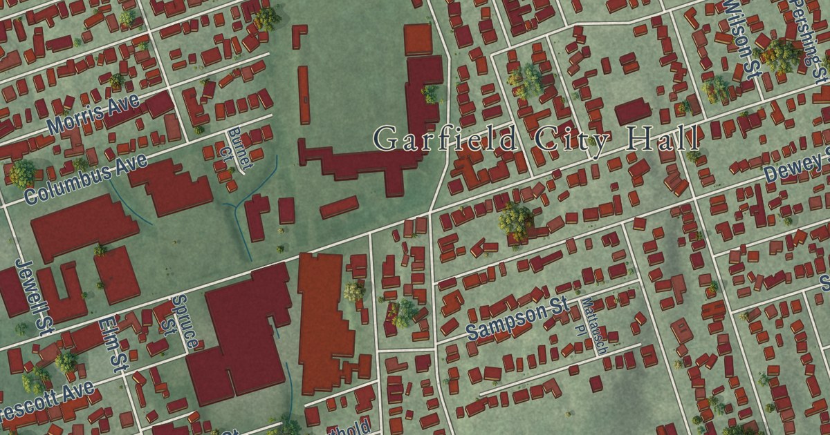
A detailed 2026 aerial map of Garfield, New Jersey, with its streets, buildings, and the places printed on the artwork.
Read More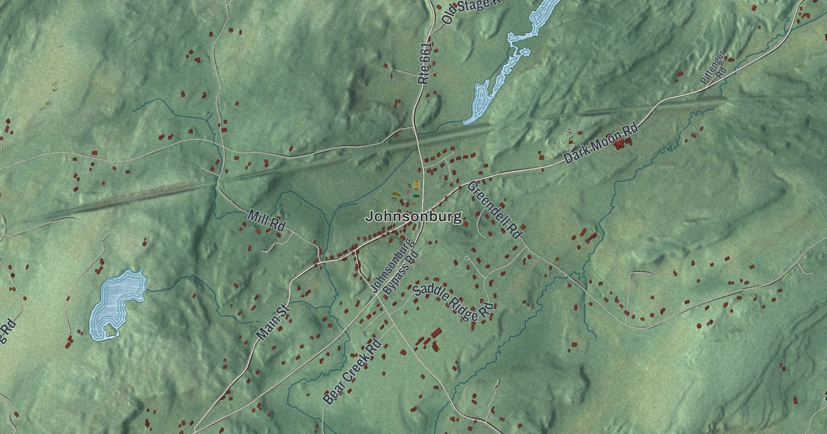
A detailed 2026 aerial map of Frelinghuysen, New Jersey, with its streets, buildings, and the places printed on the artwork.
Read More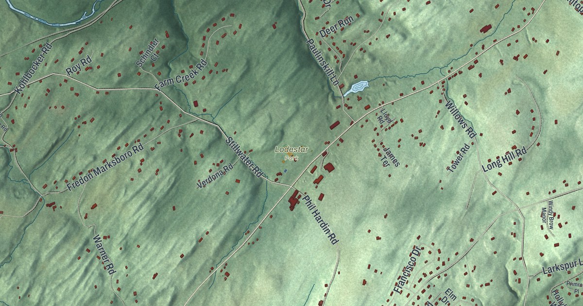
A detailed 2026 aerial map of Fredon, New Jersey, with its streets, buildings, and the places printed on the artwork.
Read More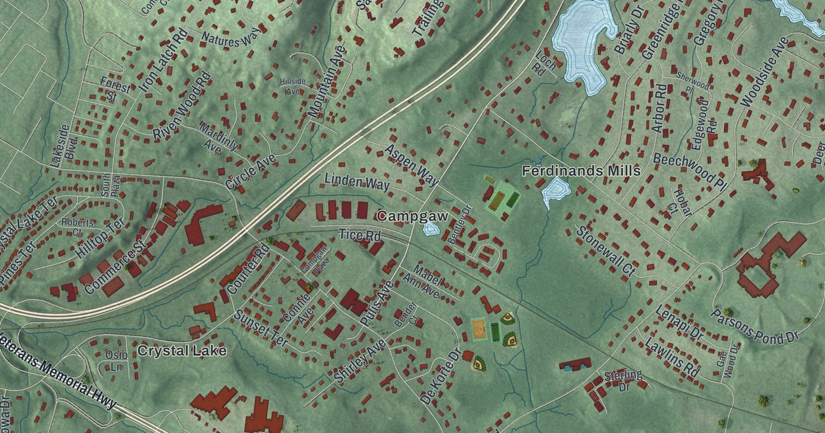
A detailed 2026 aerial map of Franklin Lakes, New Jersey, with its streets, buildings, and the places printed on the artwork.
Read More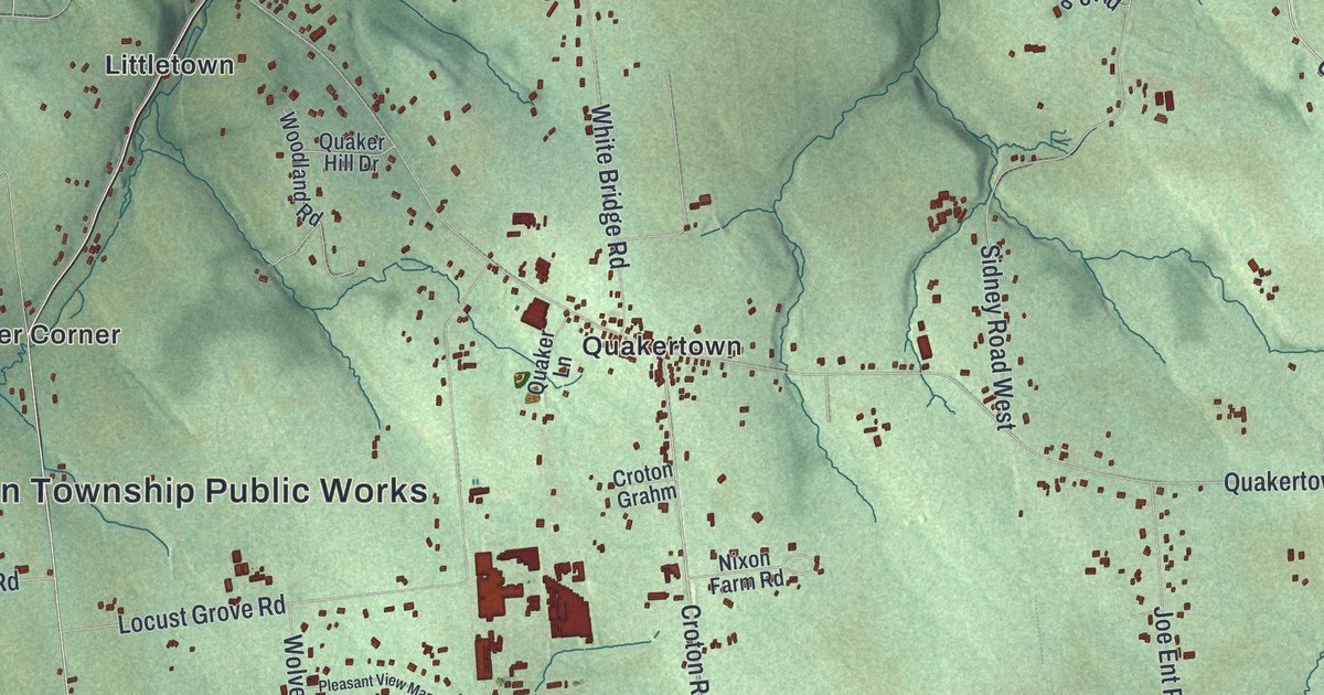
A detailed 2026 aerial map of Franklin, Hunterdon County, New Jersey, with its streets, buildings, and the places printed on the artwork.
Read More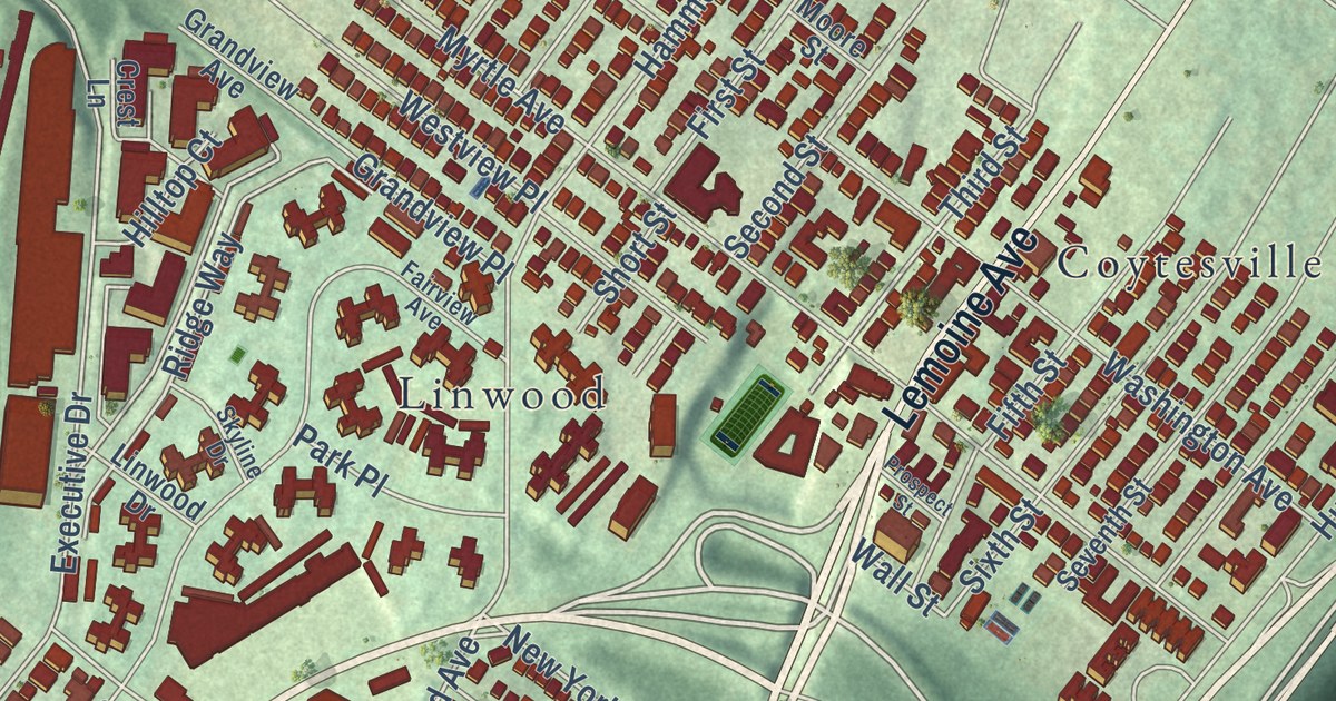
A detailed 2026 aerial map of Fort Lee, New Jersey, with its streets, buildings, and the places printed on the artwork.
Read More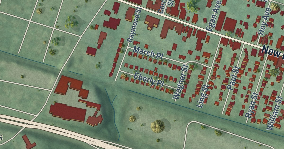
A detailed 2026 aerial map of Fords, New Jersey, with its streets, buildings, and the places printed on the artwork.
Read More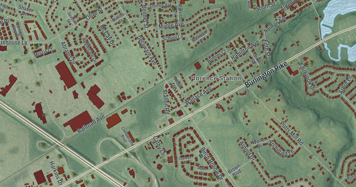
A detailed 2026 aerial map of Florence, New Jersey, with its streets, buildings, and the places printed on the artwork.
Read More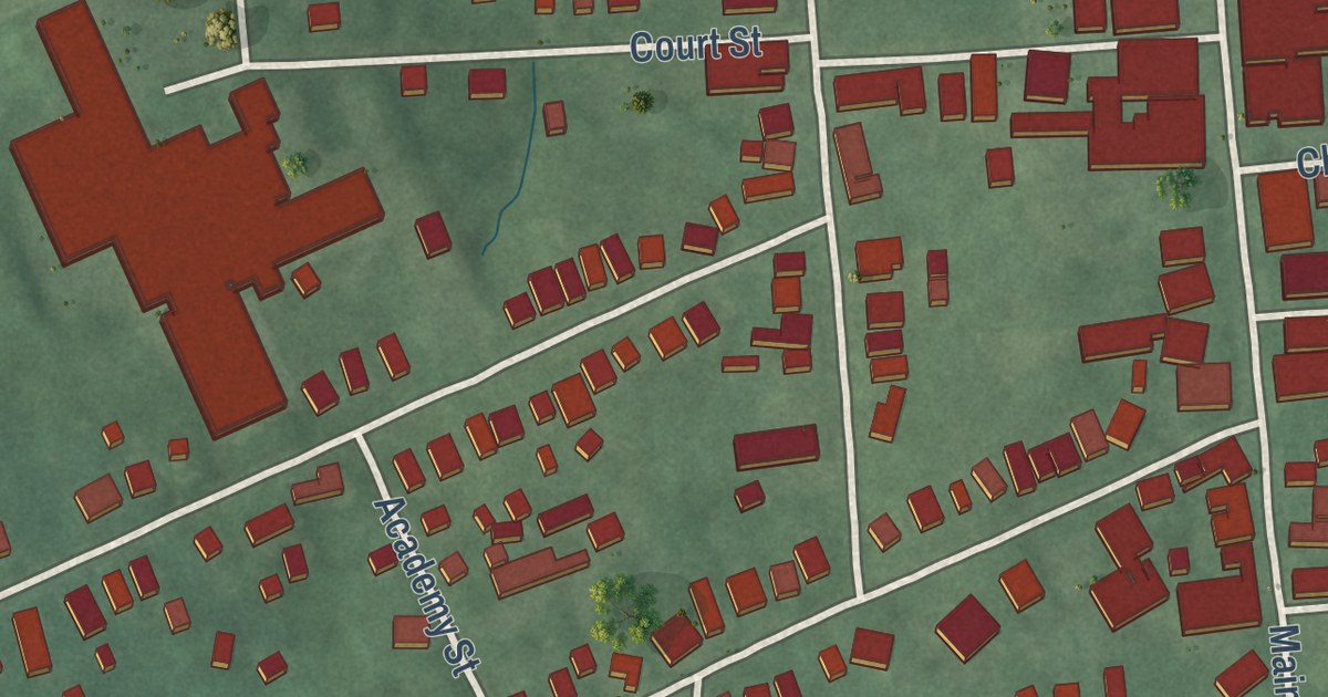
A detailed 2026 aerial map of Flemington, New Jersey, with its streets, buildings, and the places printed on the artwork.
Read More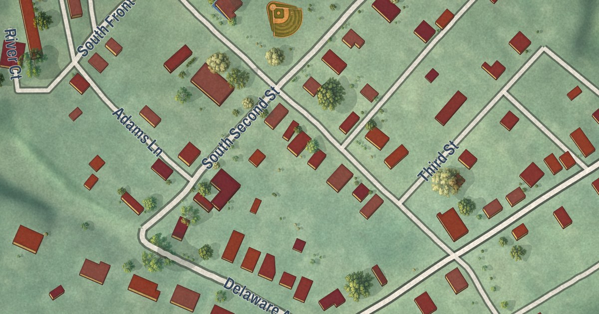
A detailed 2026 aerial map of Fieldsboro, New Jersey, with its streets, buildings, and the places printed on the artwork.
Read More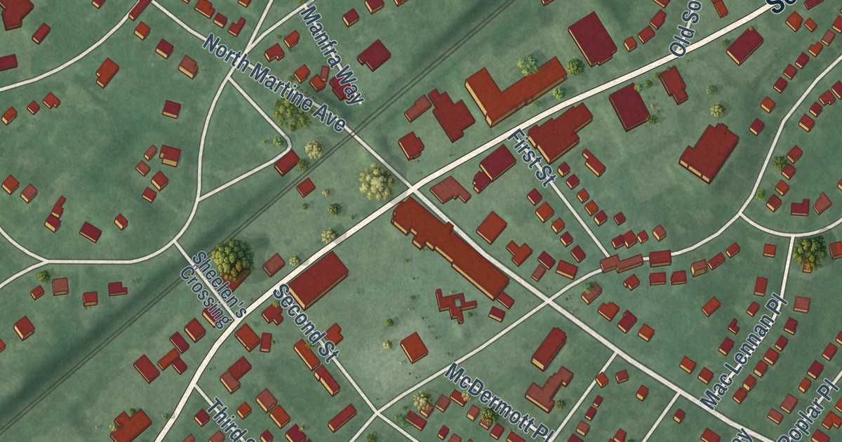
A detailed 2026 aerial map of Fanwood, New Jersey, with its streets, buildings, and the places printed on the artwork.
Read More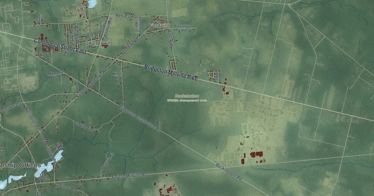
A detailed 2026 aerial map of Fairfield, Cumberland County, New Jersey, with its streets, buildings, and the places printed on the artwork.
Read More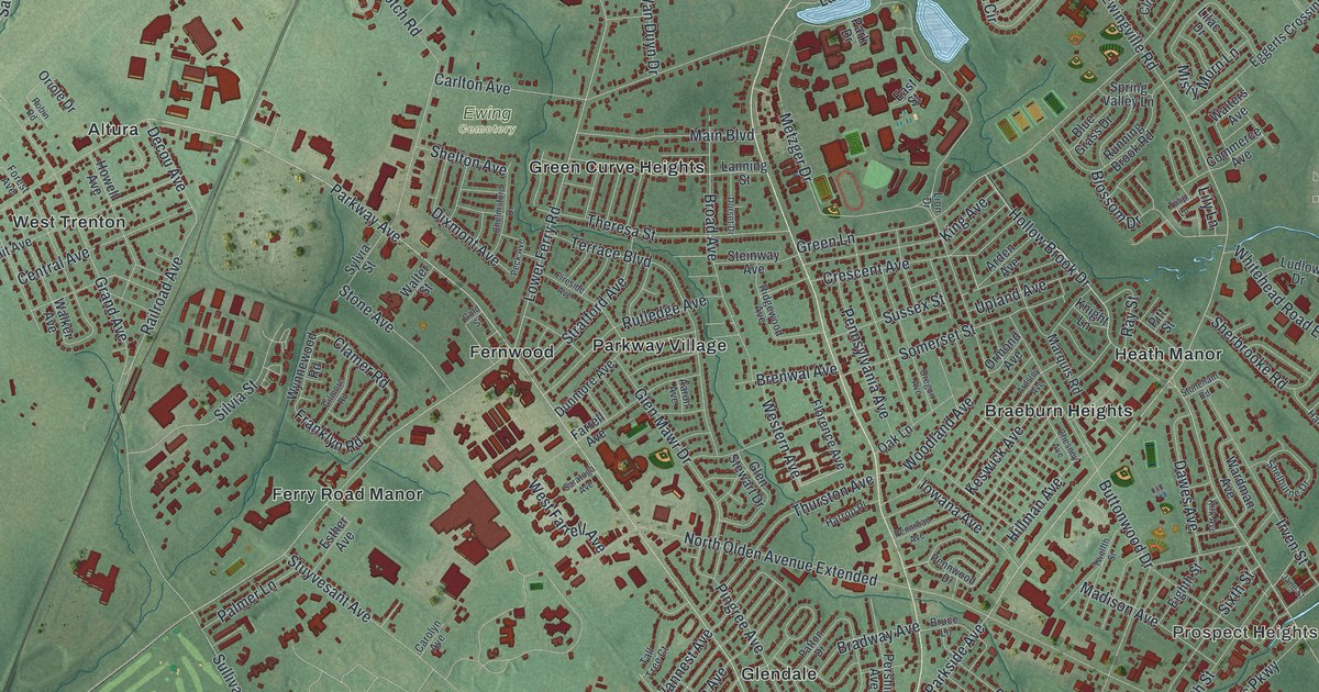
A detailed 2026 aerial map of Ewing, New Jersey, with its streets, buildings, and the places printed on the artwork.
Read More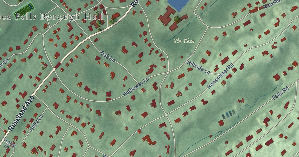
A detailed 2026 aerial map of Essex Fells, New Jersey, with its streets, buildings, and the places printed on the artwork.
Read More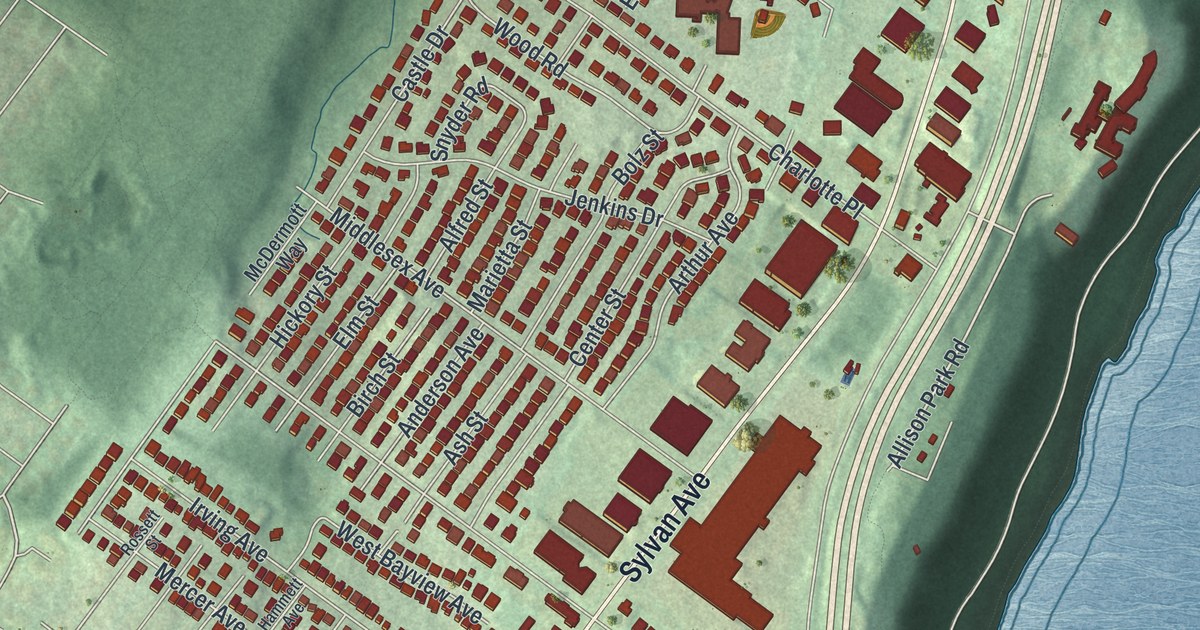
A detailed 2026 aerial map of Englewood Cliffs, New Jersey, with its streets, buildings, and the places printed on the artwork.
Read More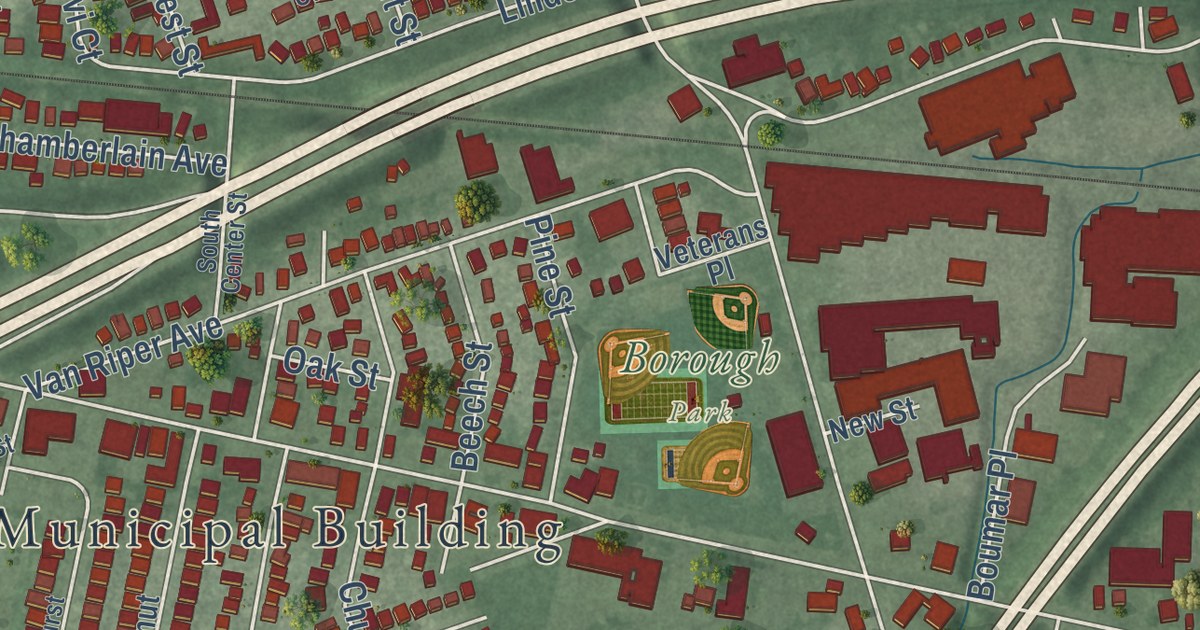
A detailed 2026 aerial map of Elmwood Park, New Jersey, with its streets, buildings, and the places printed on the artwork.
Read More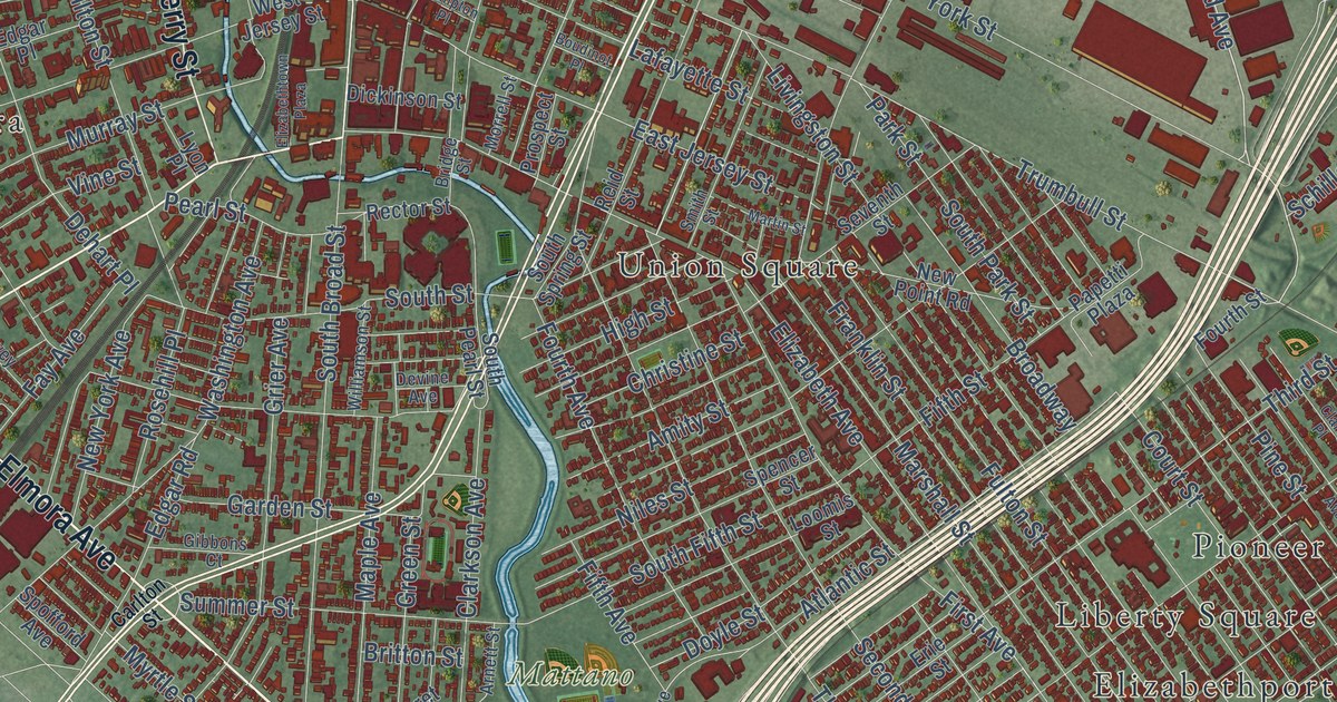
A detailed 2026 aerial map of Elizabeth, New Jersey, with its streets, buildings, and the places printed on the artwork.
Read More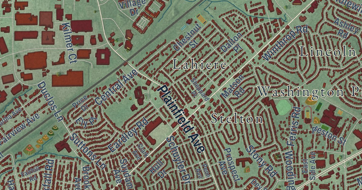
A detailed 2026 aerial map of Edison, New Jersey, with its streets, buildings, and the places printed on the artwork.
Read More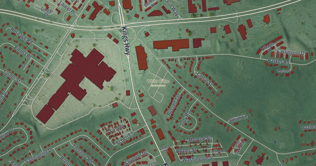
A detailed 2026 aerial map of Eatontown, New Jersey, with its streets, buildings, and the places printed on the artwork.
Read More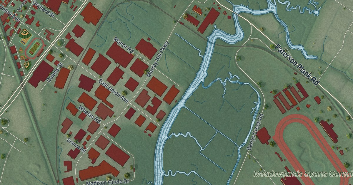
A detailed 2026 aerial map of East Rutherford, New Jersey, with its streets, buildings, and the places printed on the artwork.
Read More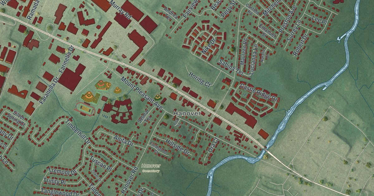
A detailed 2026 aerial map of East Hanover, New Jersey, with its streets, buildings, and the places printed on the artwork.
Read More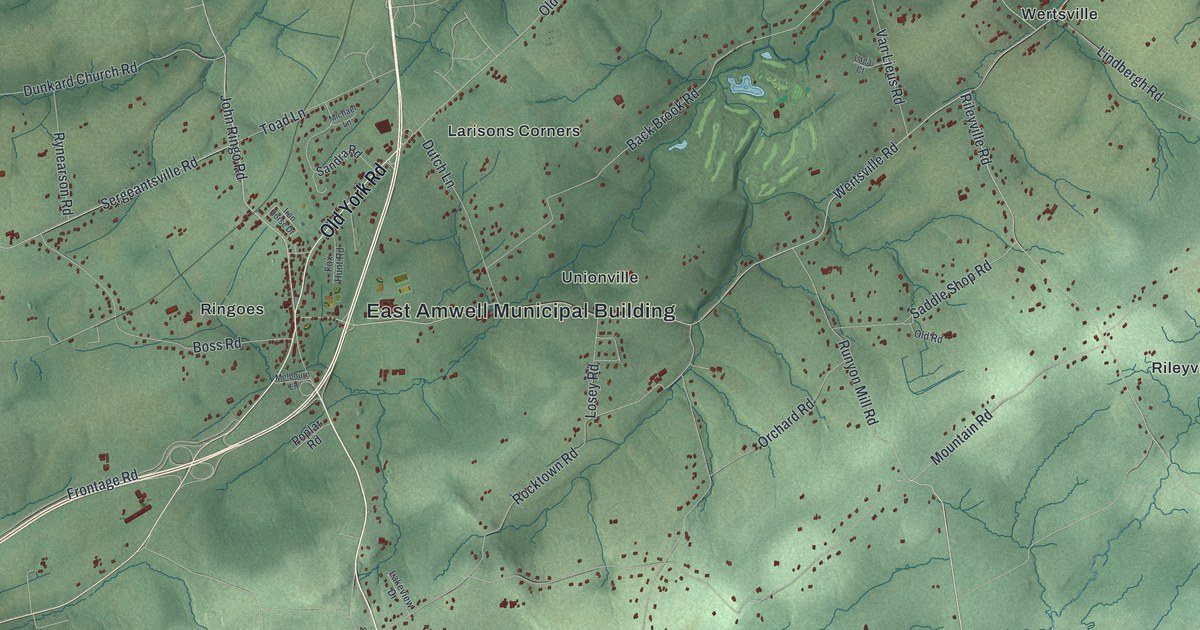
A detailed 2026 aerial map of East Amwell, New Jersey, with its streets, buildings, and the places printed on the artwork.
Read More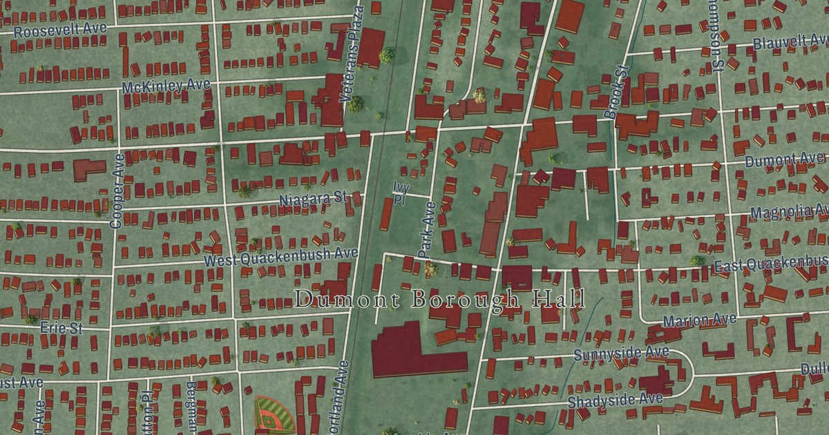
A detailed 2026 aerial map of Dumont, New Jersey, with its streets, buildings, and the places printed on the artwork.
Read More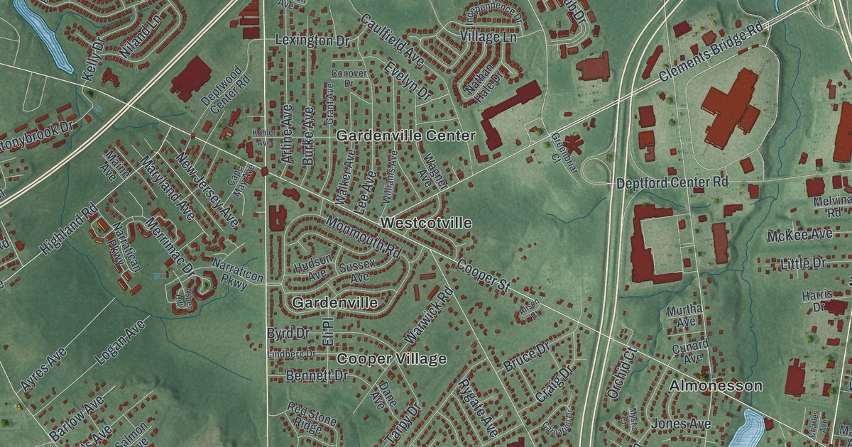
A detailed 2026 aerial map of Deptford, New Jersey, with its streets, buildings, and the places printed on the artwork.
Read More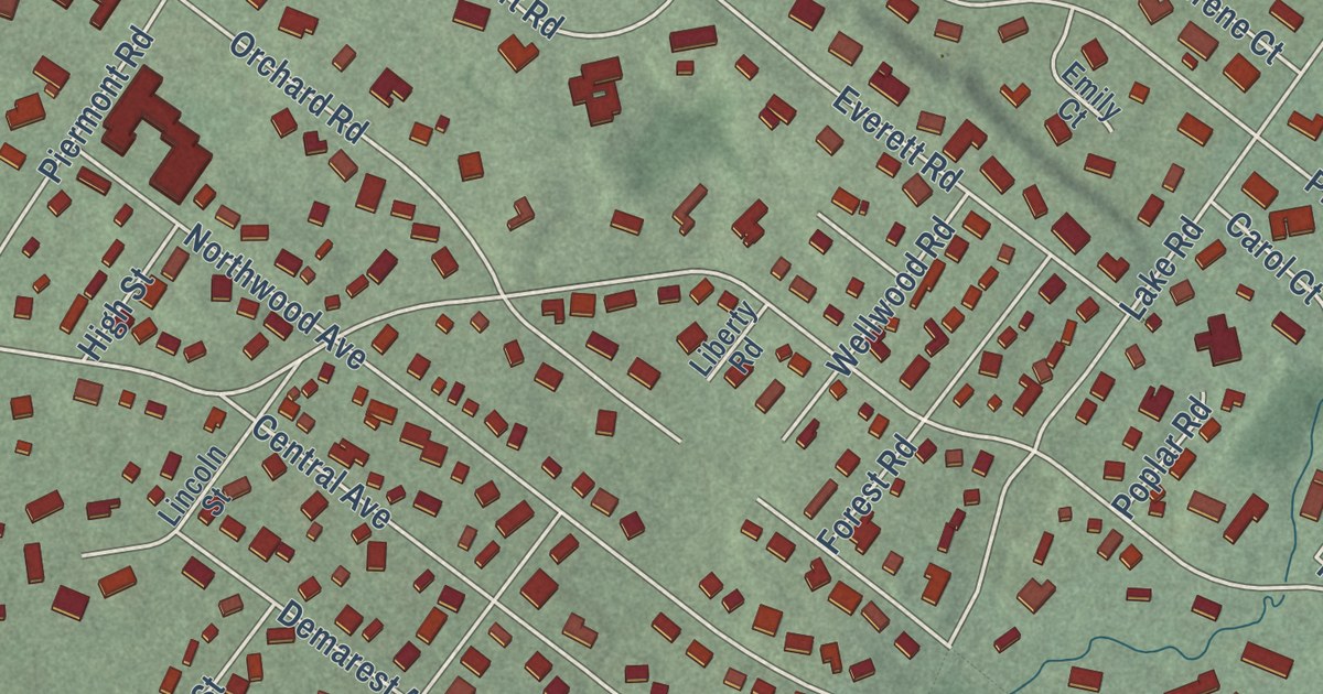
A detailed 2026 aerial map of Demarest, New Jersey, with its streets, buildings, and the places printed on the artwork.
Read More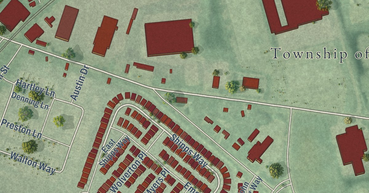
A detailed 2026 aerial map of Delanco, New Jersey, with its streets, buildings, and the places printed on the artwork.
Read More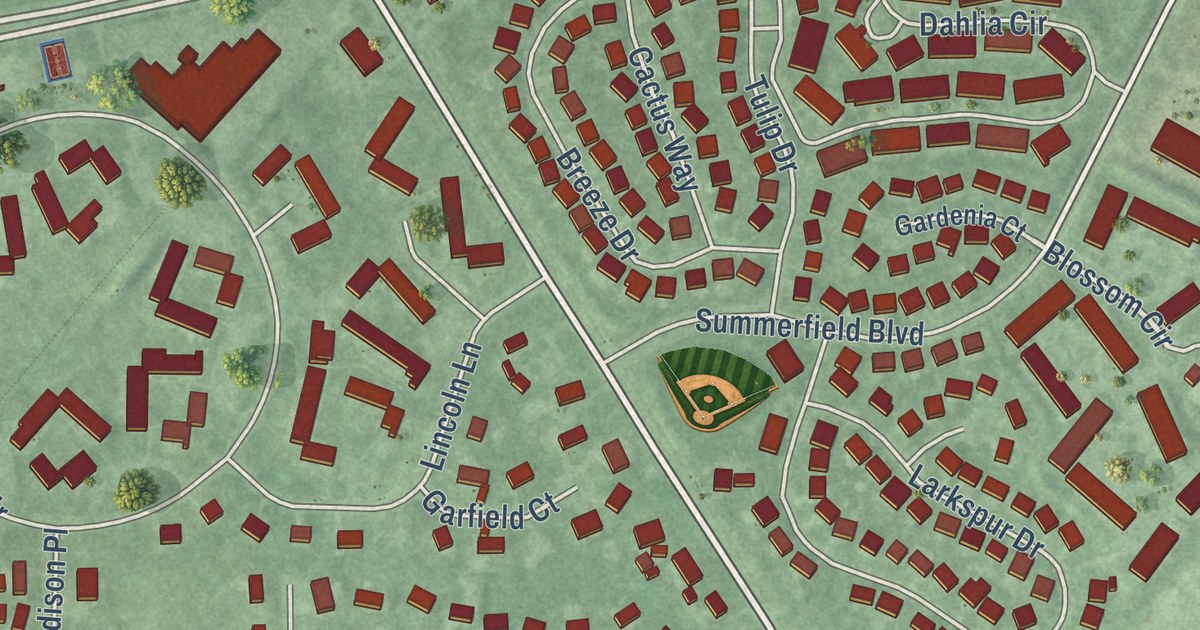
A detailed 2026 aerial map of Dayton, New Jersey, with its streets, buildings, and the places printed on the artwork.
Read More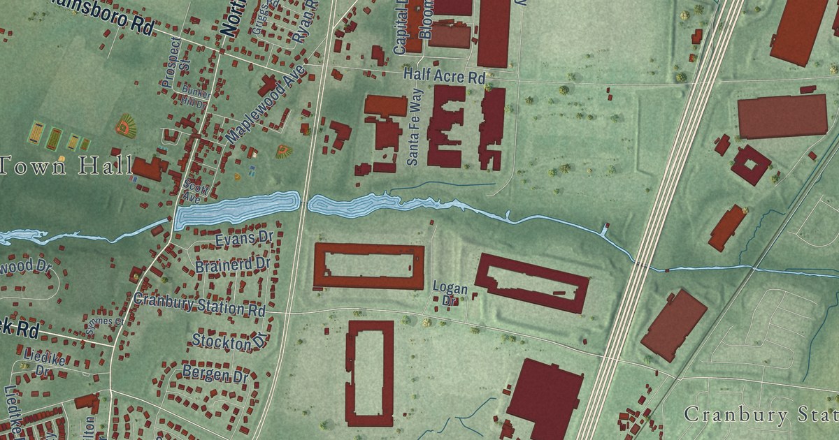
A detailed 2026 aerial map of Cranbury, New Jersey, with its streets, buildings, and the places printed on the artwork.
Read More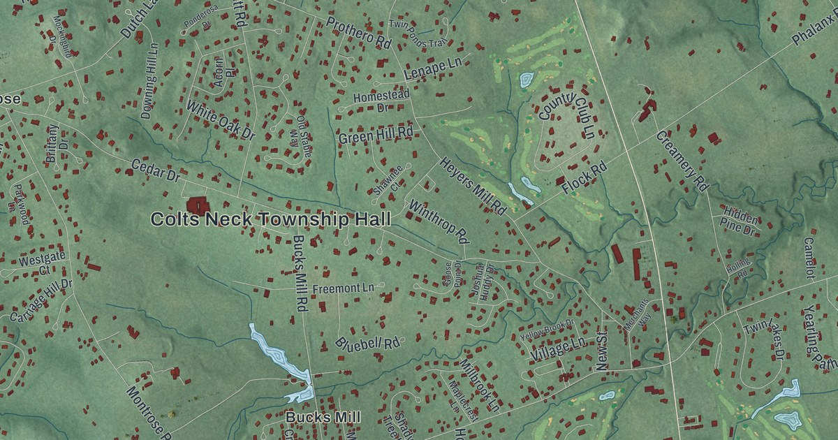
A detailed 2026 aerial map of Colts Neck, New Jersey, with its streets, buildings, and the places printed on the artwork.
Read More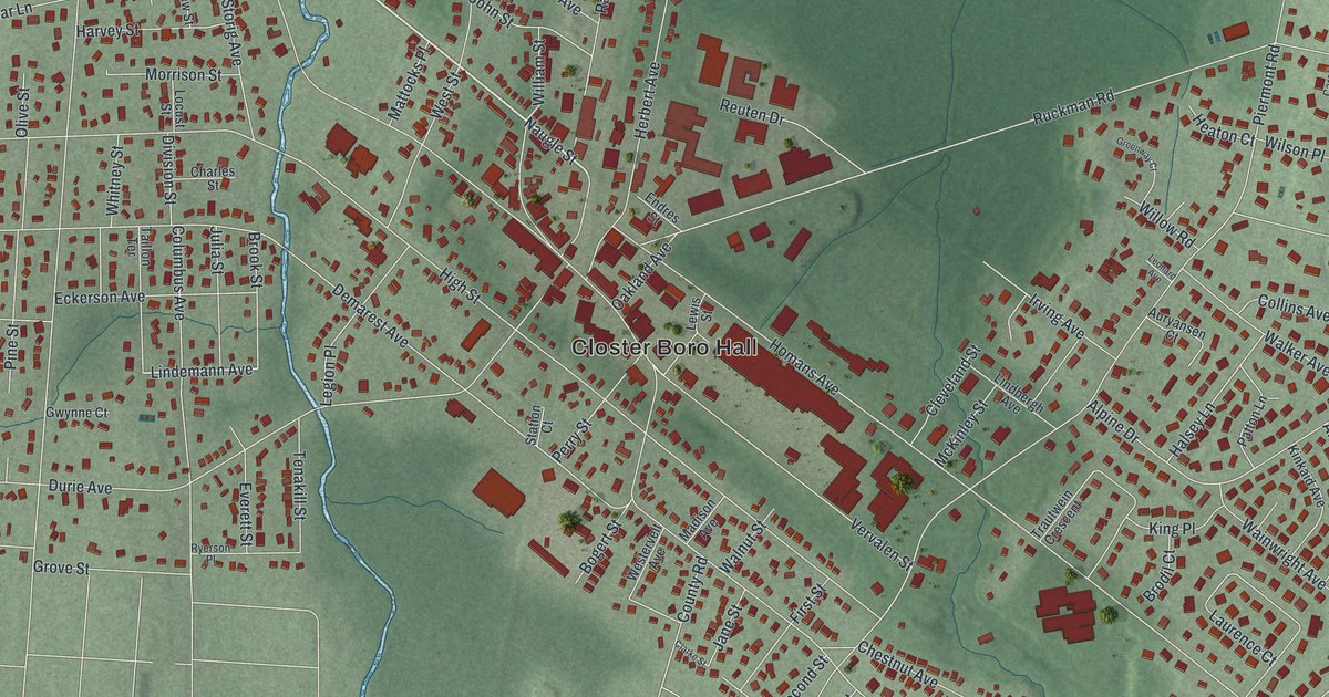
A detailed 2026 aerial map of Closter, New Jersey, with its streets, buildings, and the places printed on the artwork.
Read More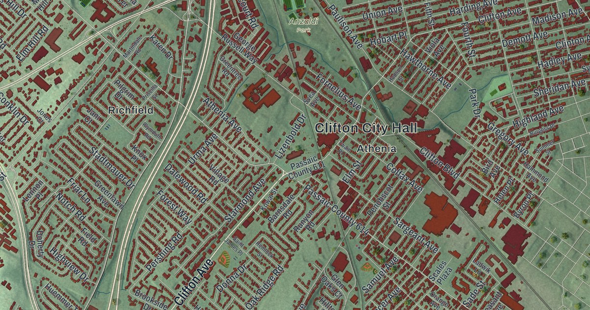
A detailed 2026 aerial map of Clifton, New Jersey, with its streets, buildings, and the places printed on the artwork.
Read More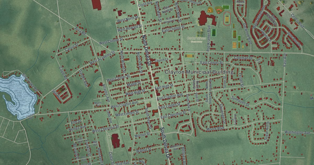
A detailed 2026 aerial map of Clayton, New Jersey, with its streets, buildings, and the places printed on the artwork.
Read More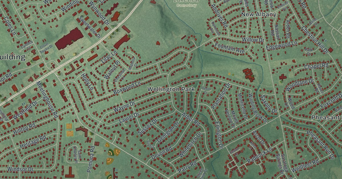
A detailed 2026 aerial map of Cinnaminson, New Jersey, with its streets, buildings, and the places printed on the artwork.
Read More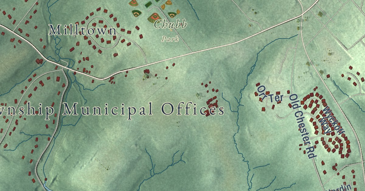
A detailed 2026 aerial map of Chester Township, Morris County, New Jersey, with its streets, buildings, and the places printed on the artwork.
Read More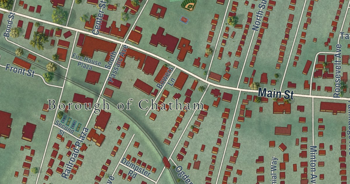
A detailed 2026 aerial map of Chatham Borough, Morris County, New Jersey, with its streets, buildings, and the places printed on the artwork.
Read More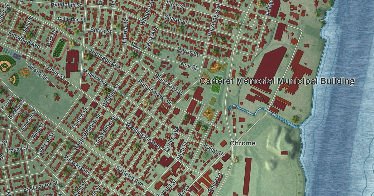
A detailed 2026 aerial map of Carteret, New Jersey, with its streets, buildings, and the places printed on the artwork.
Read More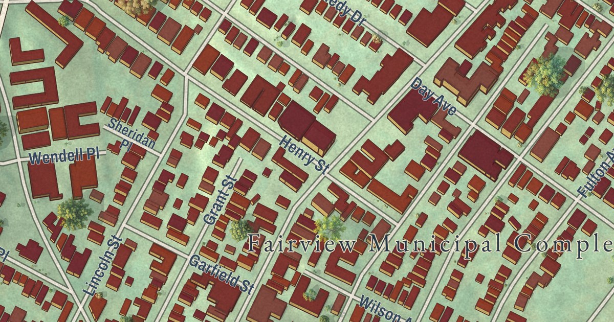
A detailed 2026 aerial map of Fairview, New Jersey, with its streets, buildings, and the places printed on the artwork.
Read More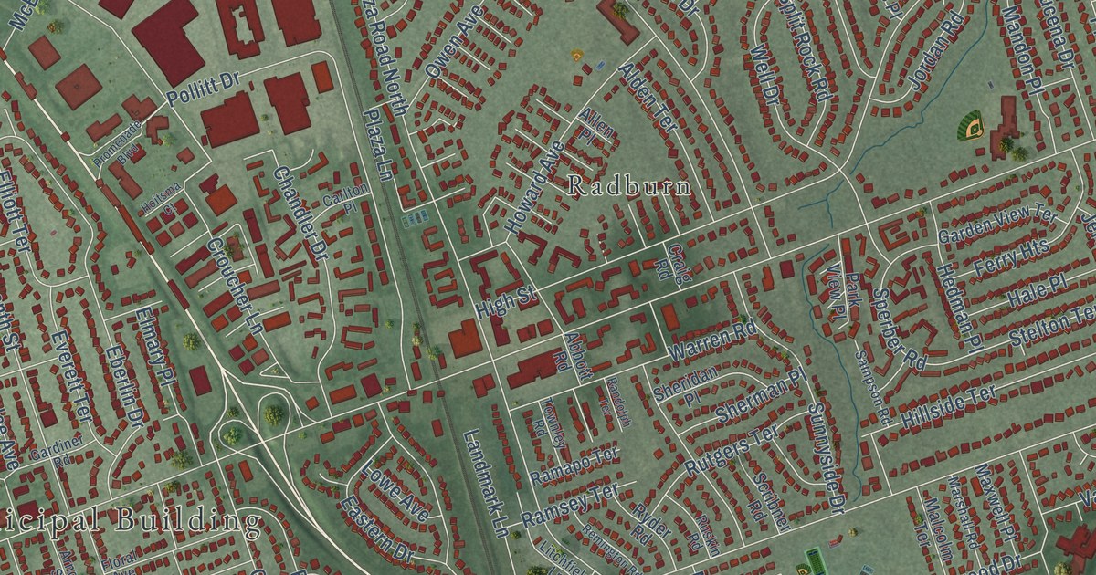
A detailed 2026 aerial map of Fair Lawn, New Jersey, with its streets, buildings, and the places printed on the artwork.
Read More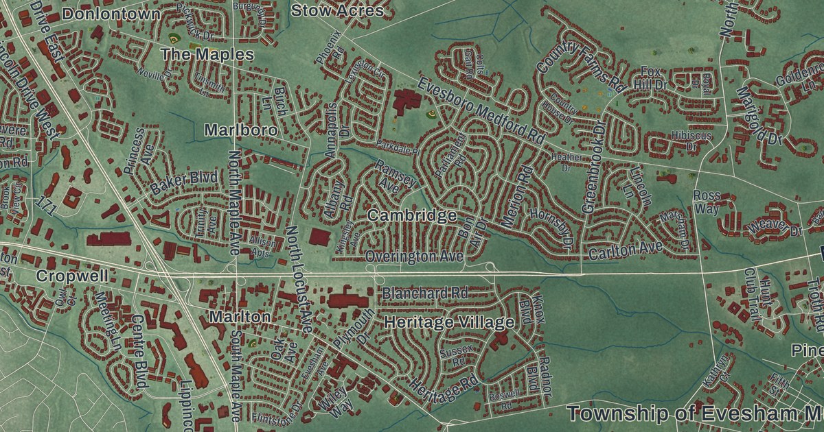
A detailed 2026 aerial map of Evesham, New Jersey, with its streets, buildings, and the places printed on the artwork.
Read More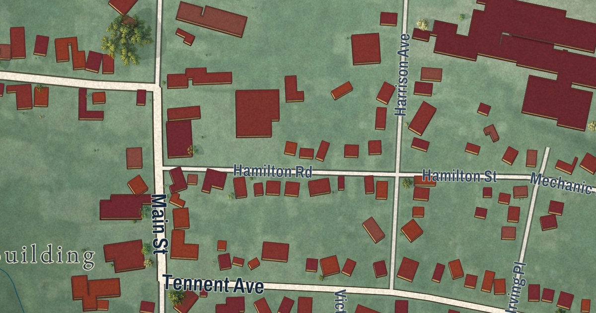
A detailed 2026 aerial map of Englishtown, New Jersey, with its streets, buildings, and the places printed on the artwork.
Read More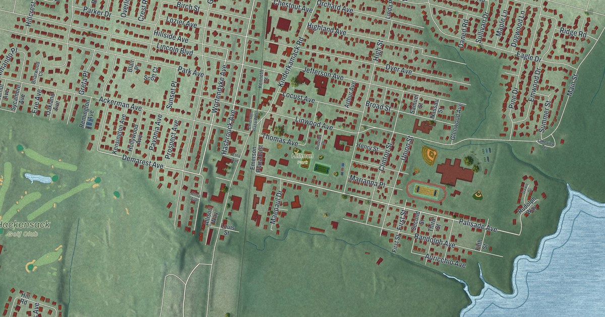
A detailed 2026 aerial map of Emerson, New Jersey, with its streets, buildings, and the places printed on the artwork.
Read More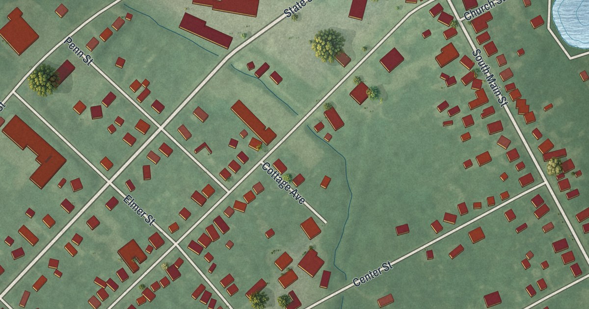
A detailed 2026 aerial map of Elmer, New Jersey, with its streets, buildings, and the places printed on the artwork.
Read More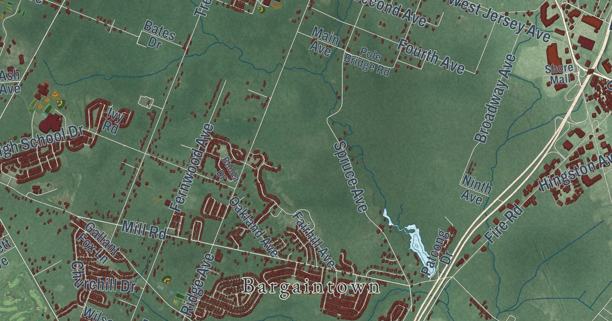
A detailed 2026 aerial map of Egg Harbor, New Jersey, with its streets, buildings, and the places printed on the artwork.
Read More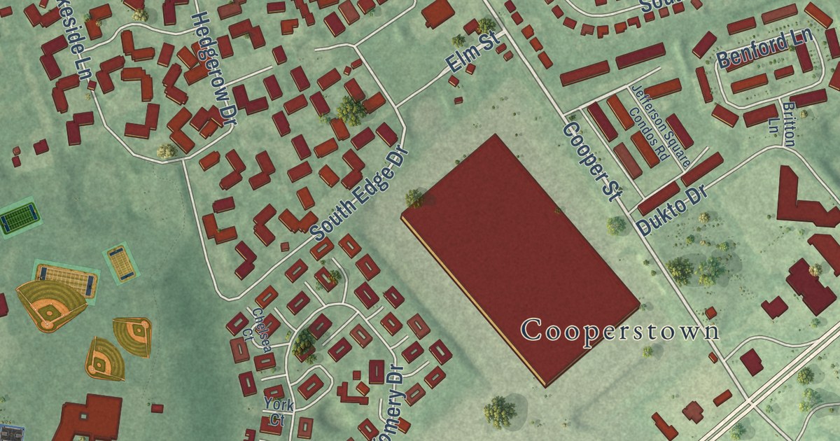
A detailed 2026 aerial map of Edgewater Park, New Jersey, with its streets, buildings, and the places printed on the artwork.
Read More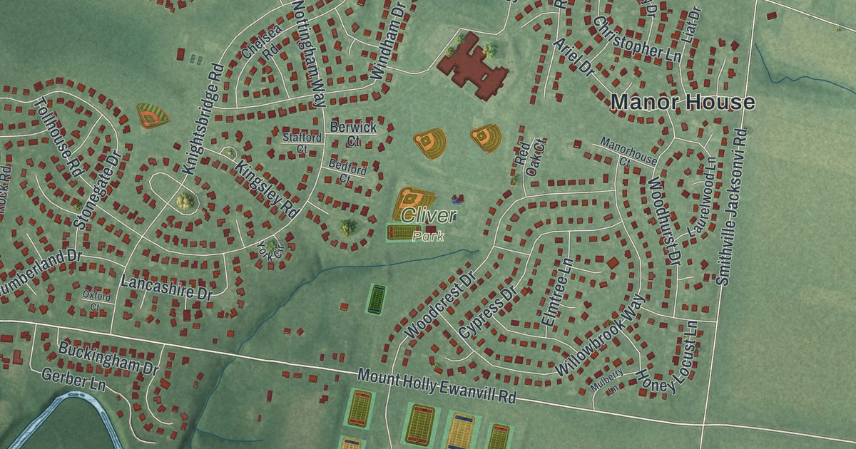
A detailed 2026 aerial map of Eastampton, New Jersey, with its streets, buildings, and the places printed on the artwork.
Read More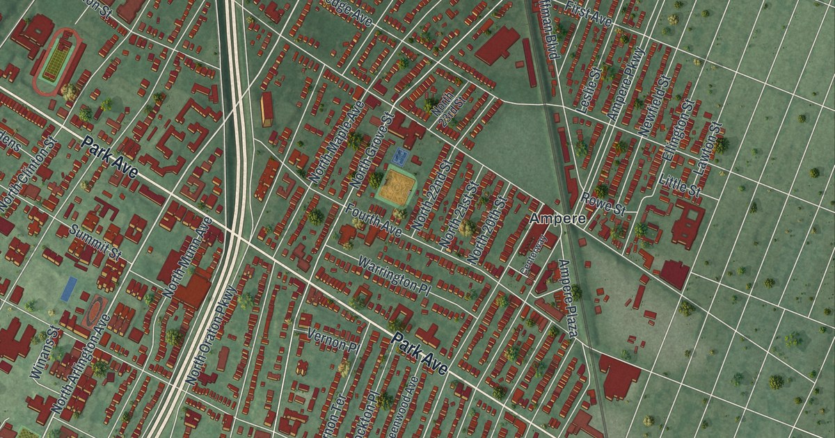
A detailed 2026 aerial map of East Orange, New Jersey, with its streets, buildings, and the places printed on the artwork.
Read More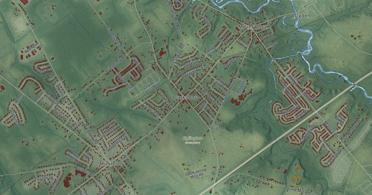
A detailed 2026 aerial map of East Greenwich, New Jersey, with its streets, buildings, and the places printed on the artwork.
Read More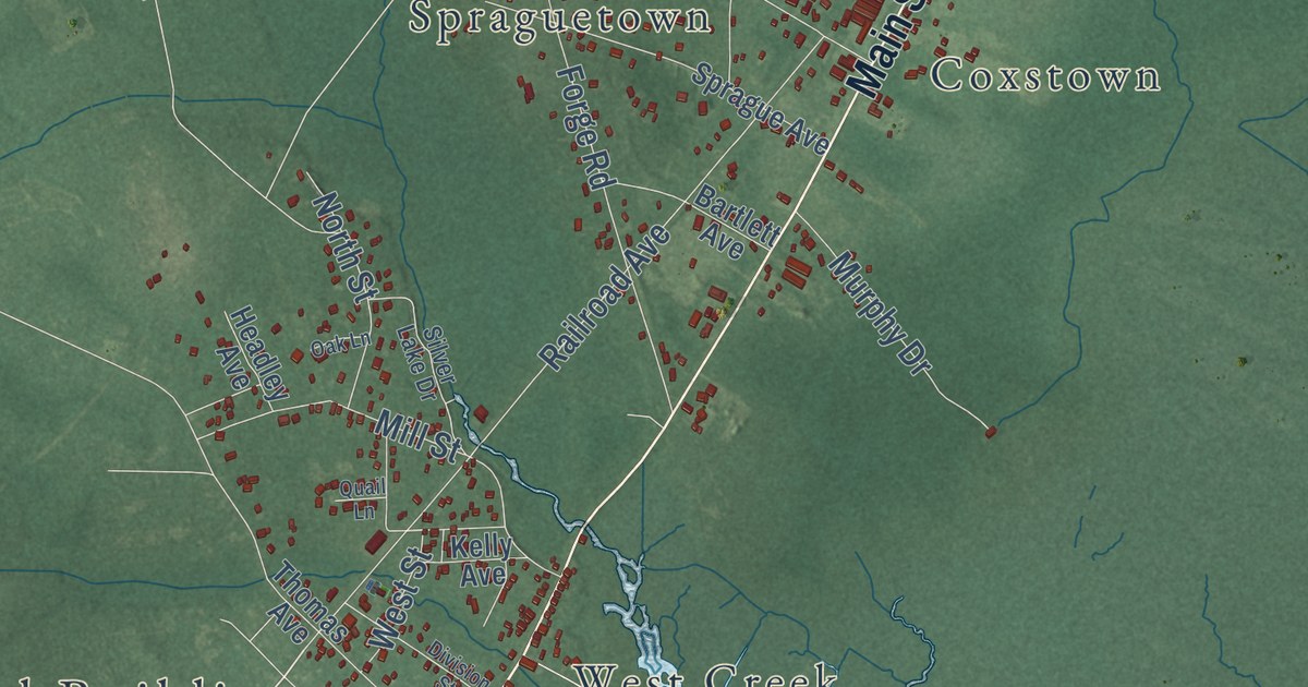
A detailed 2026 aerial map of Eagleswood, New Jersey, with its streets, buildings, and the places printed on the artwork.
Read More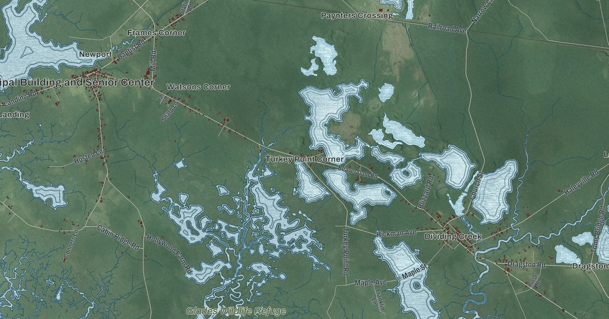
A detailed 2026 aerial map of Downe, New Jersey, with its streets, buildings, and the places printed on the artwork.
Read More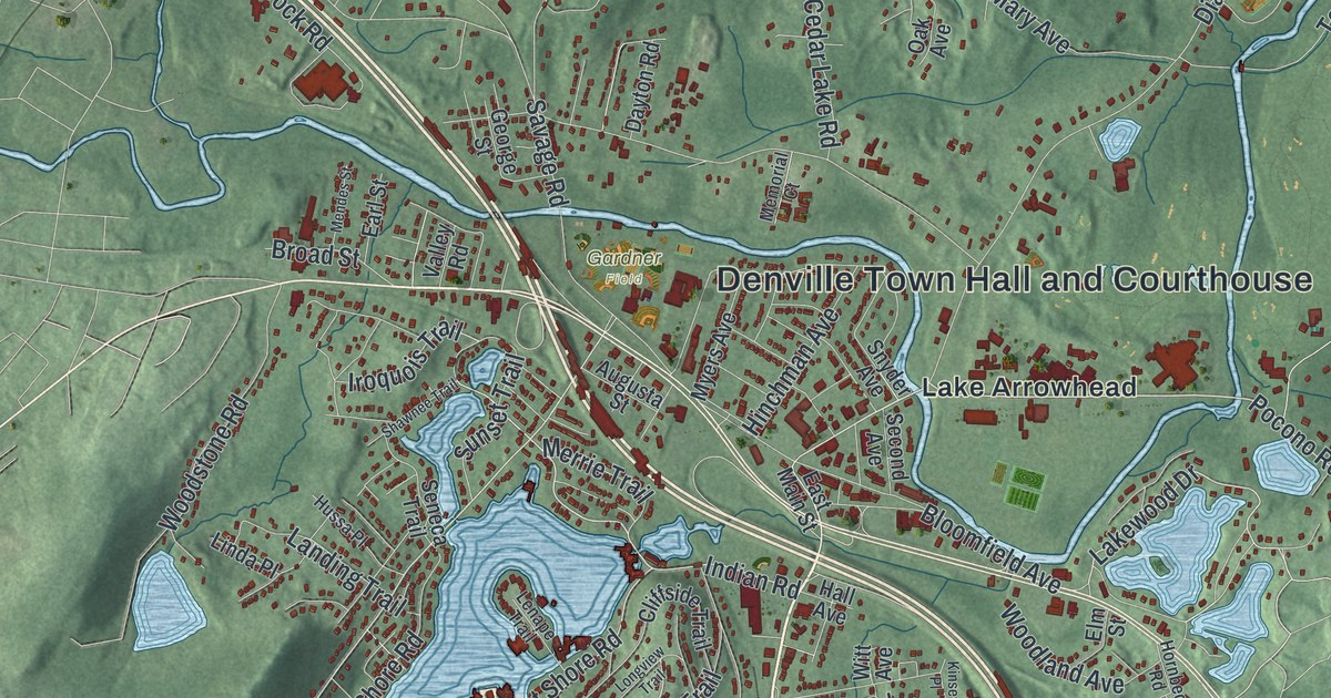
A detailed 2026 aerial map of Denville, New Jersey, with its streets, buildings, and the places printed on the artwork.
Read More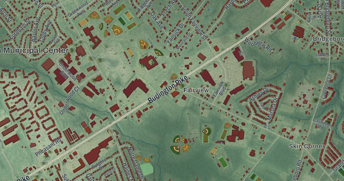
A detailed 2026 aerial map of Delran, New Jersey, with its streets, buildings, and the places printed on the artwork.
Read More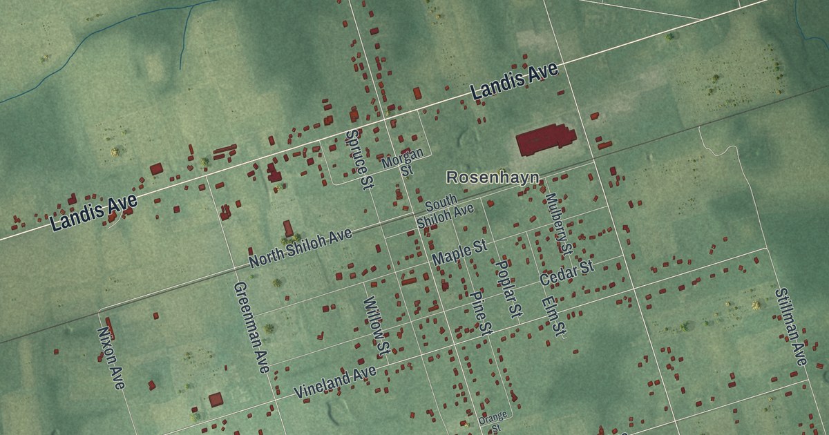
A detailed 2026 aerial map of Deerfield, New Jersey, with its streets, buildings, and the places printed on the artwork.
Read More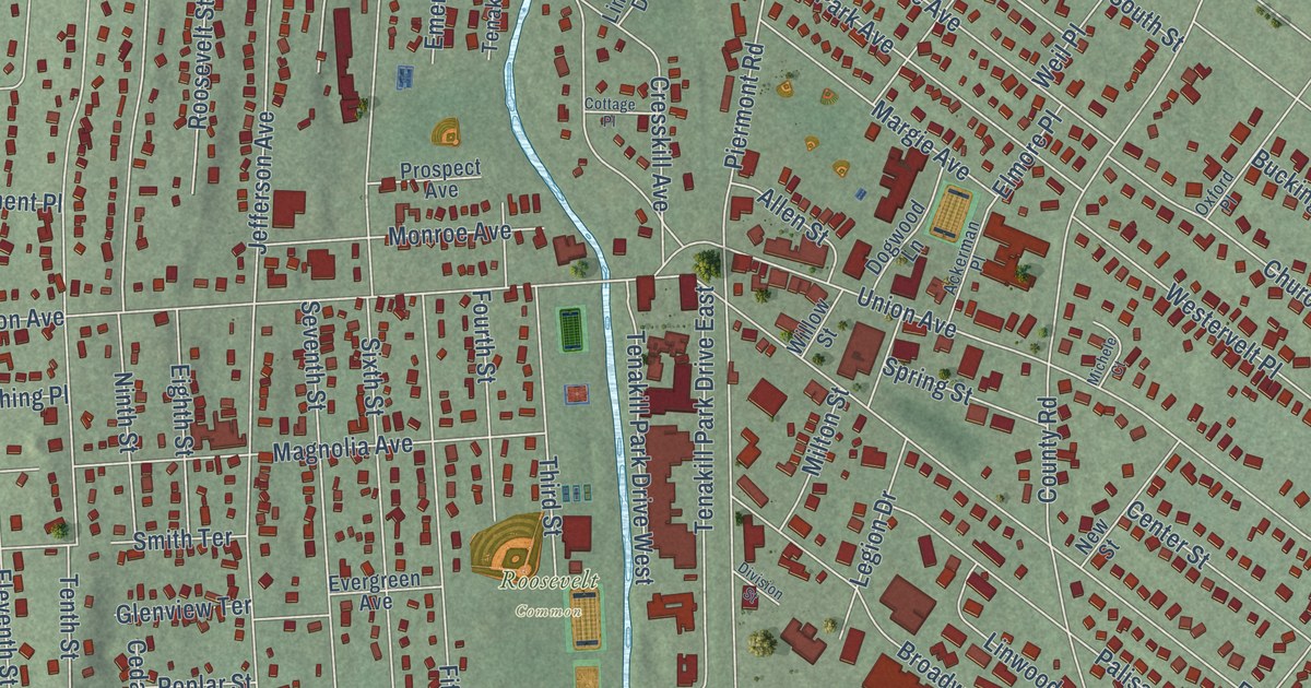
A detailed 2026 aerial map of Cresskill, New Jersey, with its streets, buildings, and the places printed on the artwork.
Read More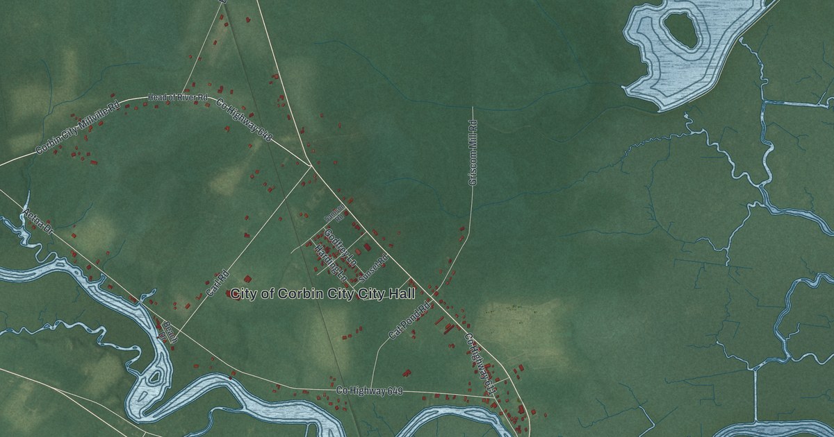
A detailed 2026 aerial map of Corbin City, New Jersey, with its streets, buildings, and the places printed on the artwork.
Read More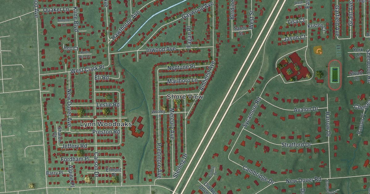
A detailed 2026 aerial map of Colonia, New Jersey, with its streets, buildings, and the places printed on the artwork.
Read More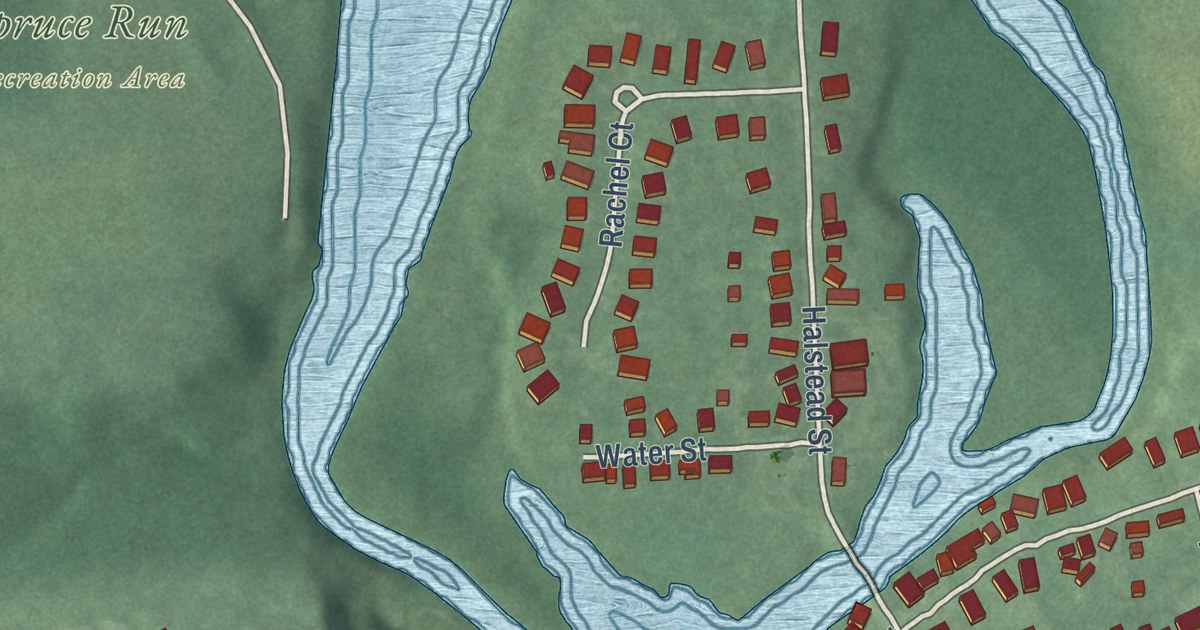
A detailed 2026 aerial map of the Town of Clinton, Hunterdon County, New Jersey, with its streets, buildings, and the places printed on the artwork.
Read More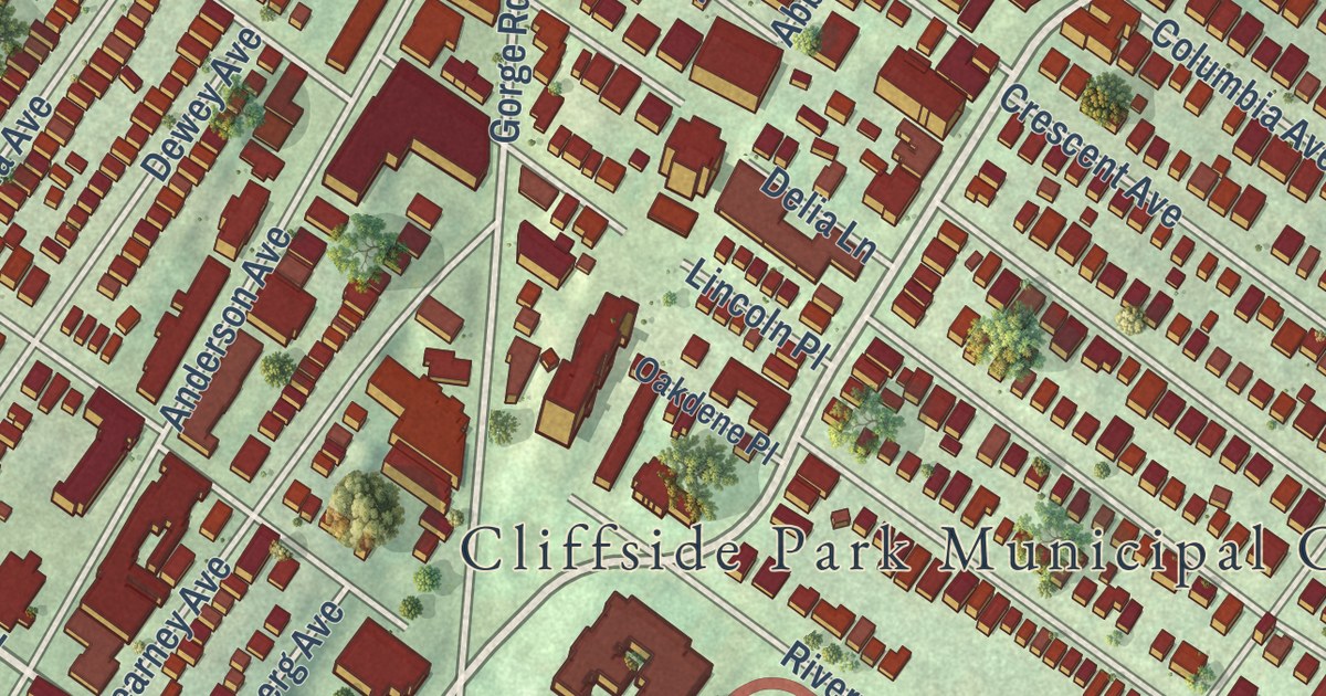
A detailed 2026 aerial map of Cliffside Park, New Jersey, with its streets, buildings, and the places printed on the artwork.
Read More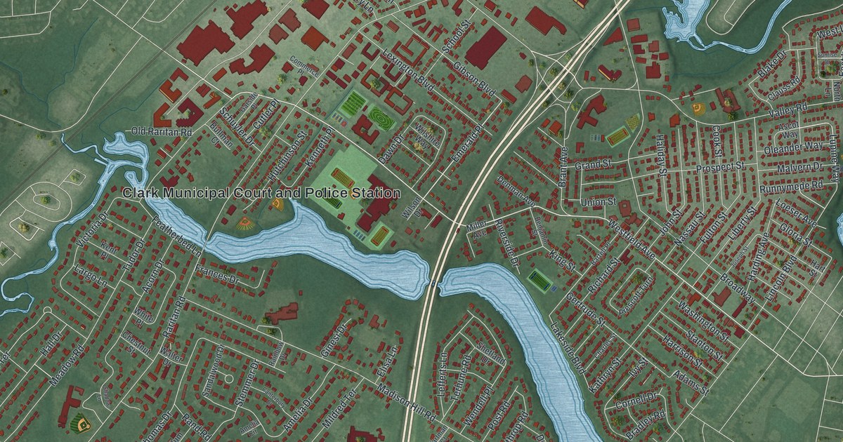
A detailed 2026 aerial map of Clark, New Jersey, with its streets, buildings, and the places printed on the artwork.
Read More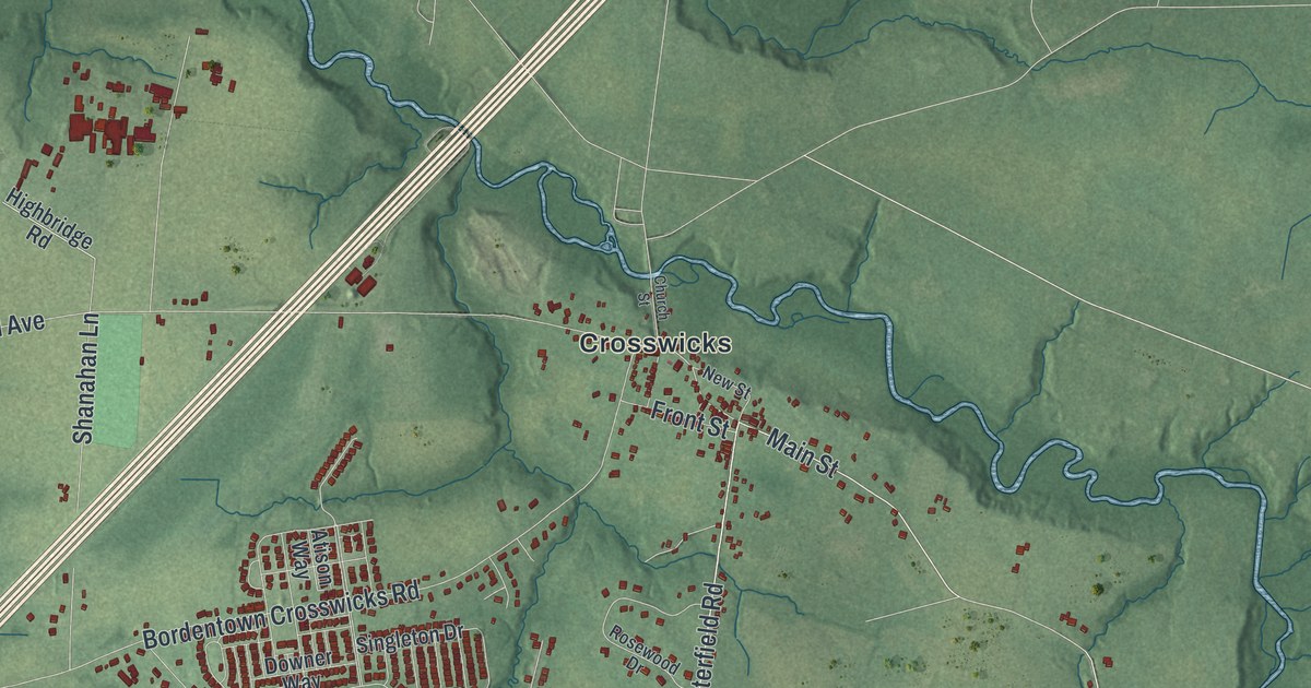
A detailed 2026 aerial map of Chesterfield, New Jersey, with its streets, buildings, and the places printed on the artwork.
Read More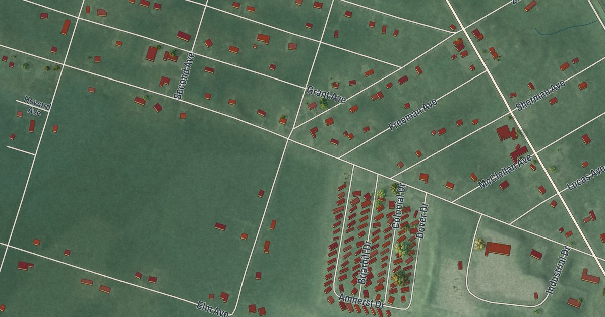
A detailed 2026 aerial map of Chesilhurst, New Jersey, with its streets, buildings, and the places printed on the artwork.
Read More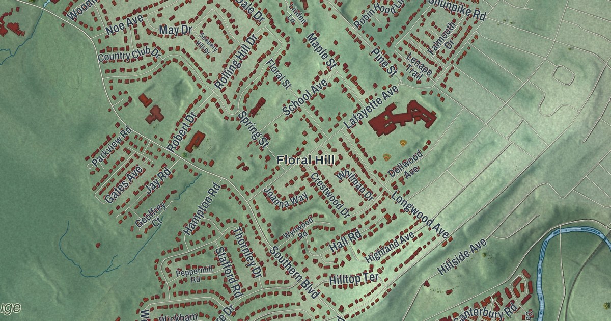
A detailed 2026 aerial map of Chatham Township, Morris County, New Jersey, with its streets, buildings, and the places printed on the artwork.
Read More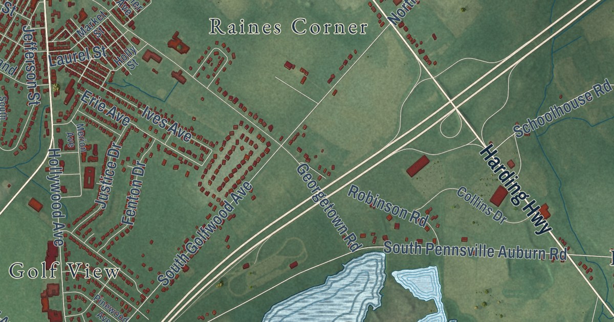
A detailed 2026 aerial map of Carneys Point, New Jersey, with its streets, buildings, and the places printed on the artwork.
Read More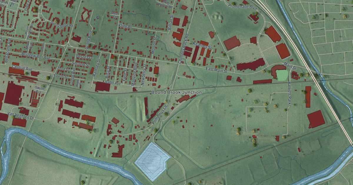
A detailed 2026 aerial map of Finderne, New Jersey, with its streets, buildings, and the places printed on the artwork.
Read More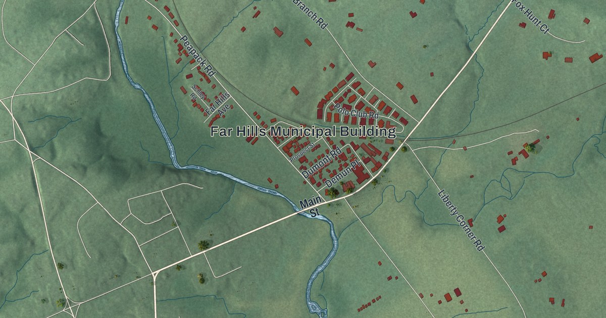
A detailed 2026 aerial map of Far Hills, New Jersey, with its streets, buildings, and the places printed on the artwork.
Read More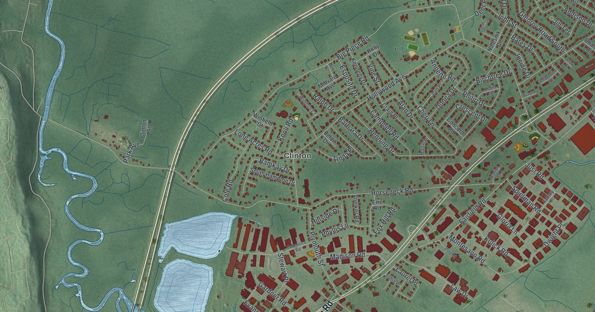
A detailed 2026 aerial map of Fairfield, Essex County, New Jersey, with its streets, buildings, and the places printed on the artwork.
Read More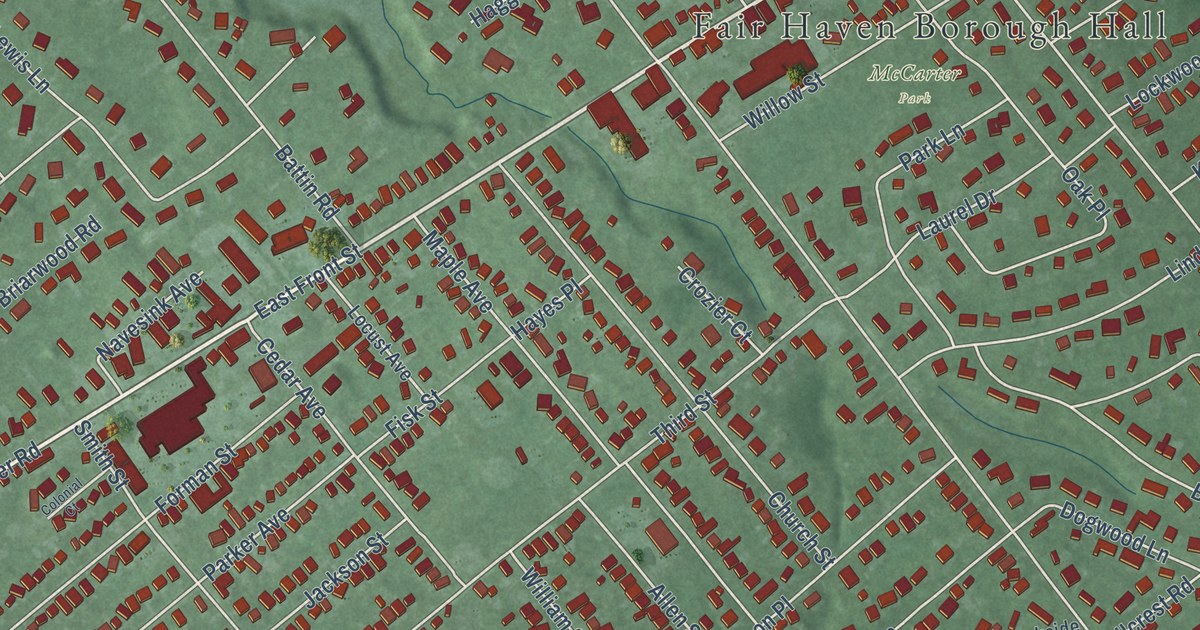
A detailed 2026 aerial map of Fair Haven, New Jersey, with its streets, buildings, and the places printed on the artwork.
Read More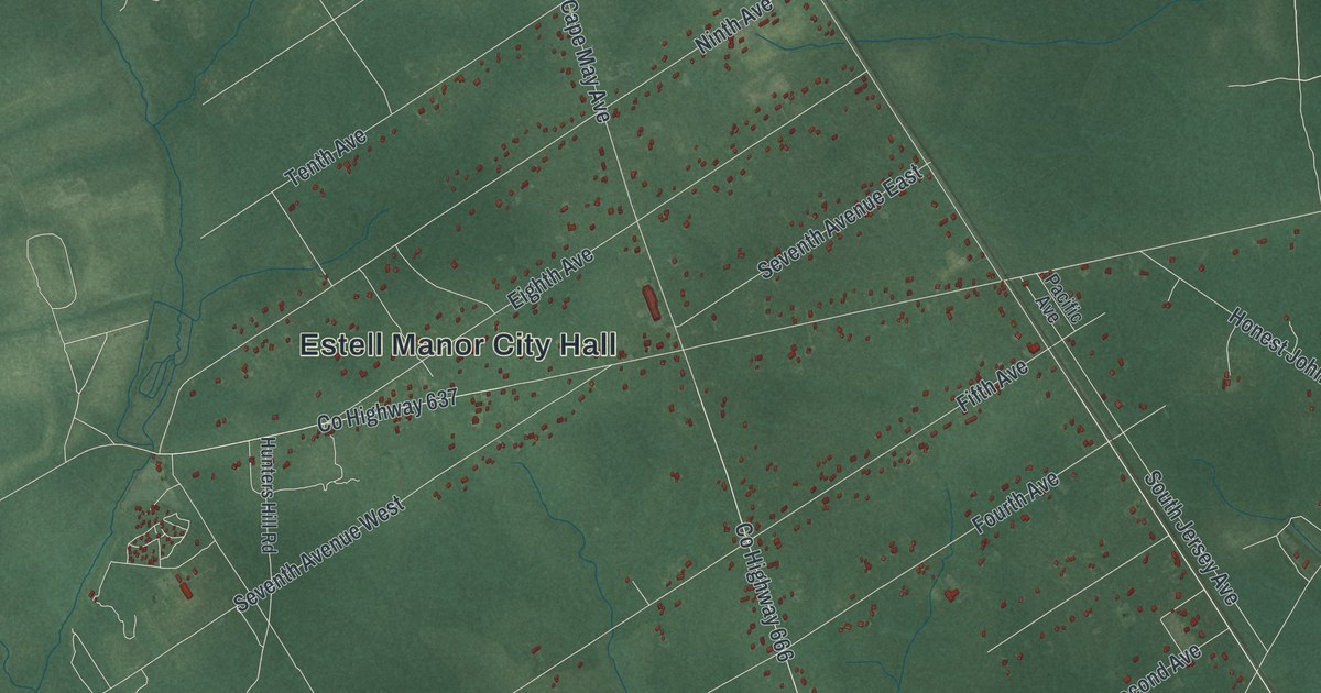
A detailed 2026 aerial map of Estell Manor, New Jersey, with its streets, buildings, and the places printed on the artwork.
Read More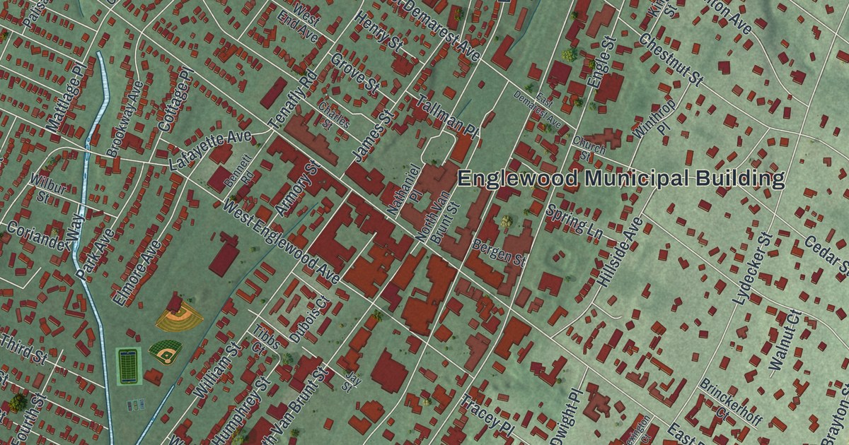
A detailed 2026 aerial map of Englewood, New Jersey, with its streets, buildings, and the places printed on the artwork.
Read More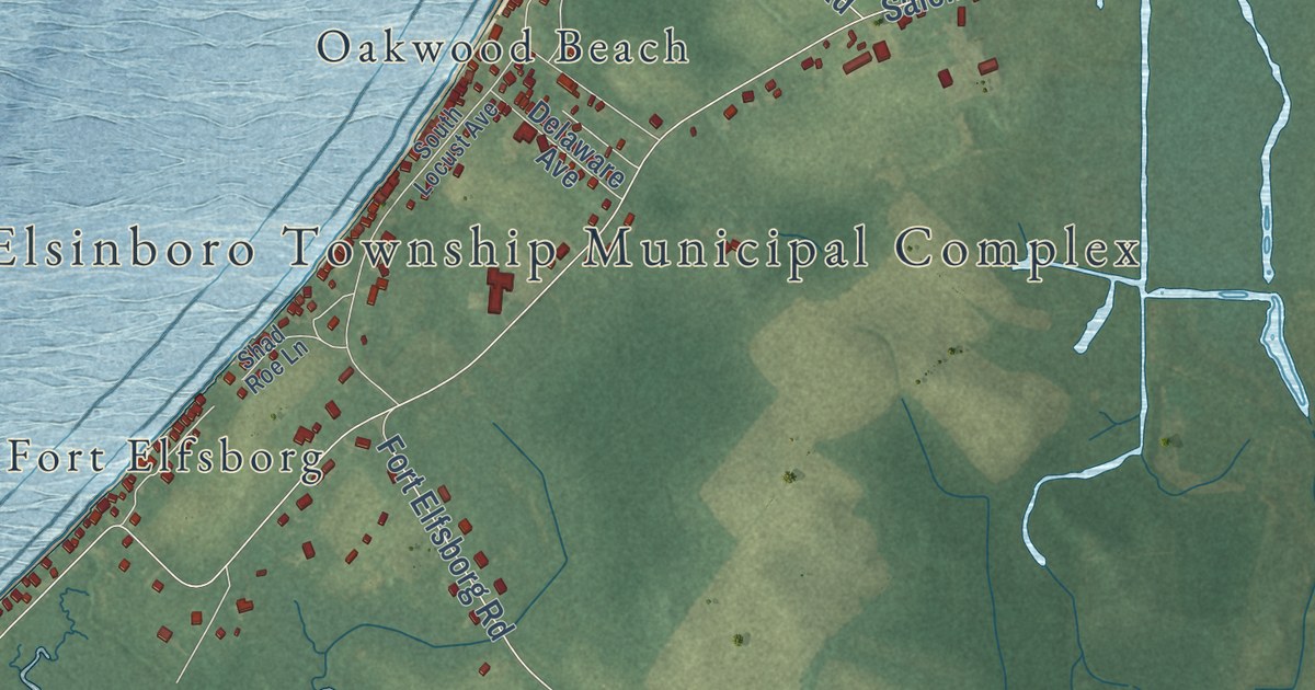
A detailed 2026 aerial map of Elsinboro, New Jersey, with its streets, buildings, and the places printed on the artwork.
Read More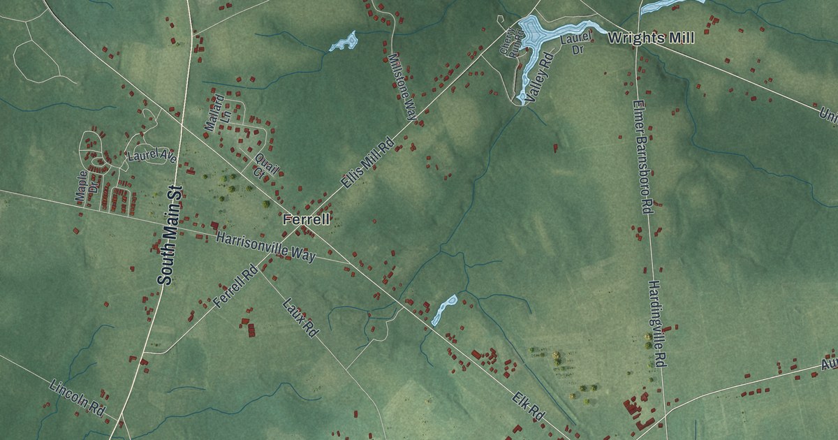
A detailed 2026 aerial map of Elk, New Jersey, with its streets, buildings, and the places printed on the artwork.
Read More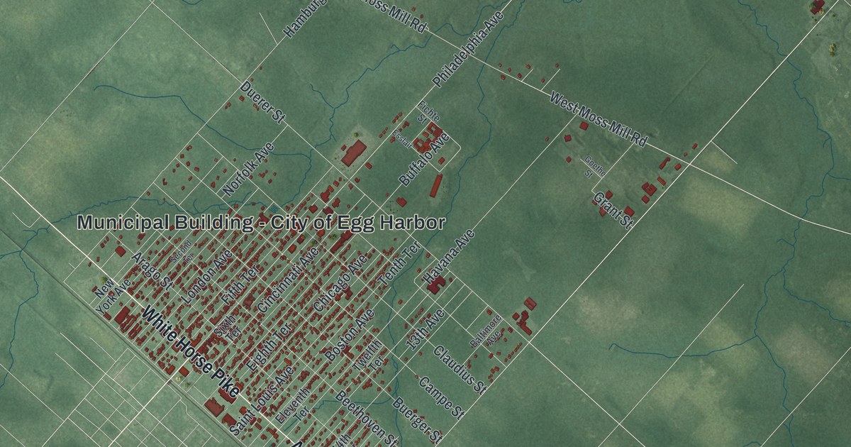
A detailed 2026 aerial map of Egg Harbor City, New Jersey, with its streets, buildings, and the places printed on the artwork.
Read More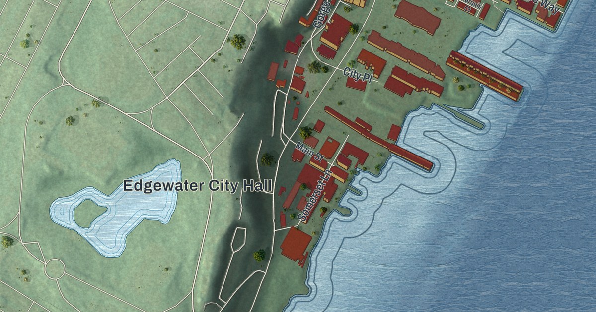
A detailed 2026 aerial map of Edgewater, New Jersey, with its streets, buildings, and the places printed on the artwork.
Read More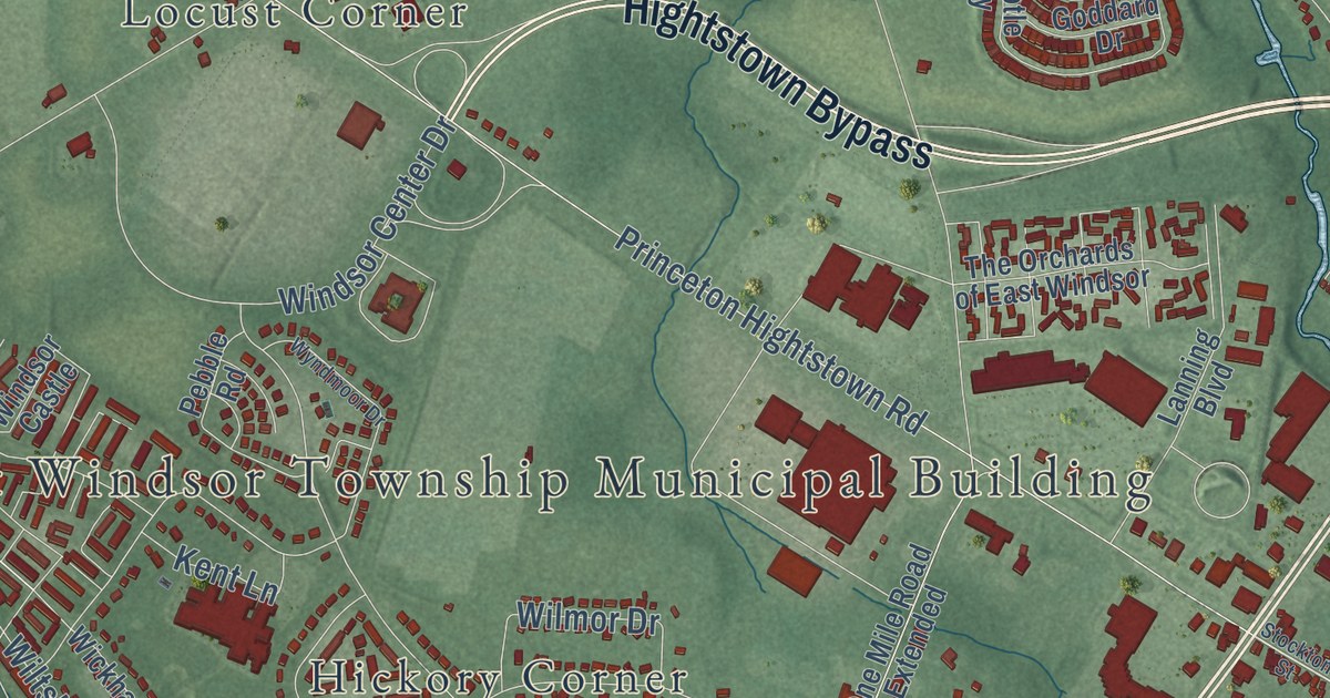
A detailed 2026 aerial map of East Windsor, New Jersey, with its streets, buildings, and the places printed on the artwork.
Read More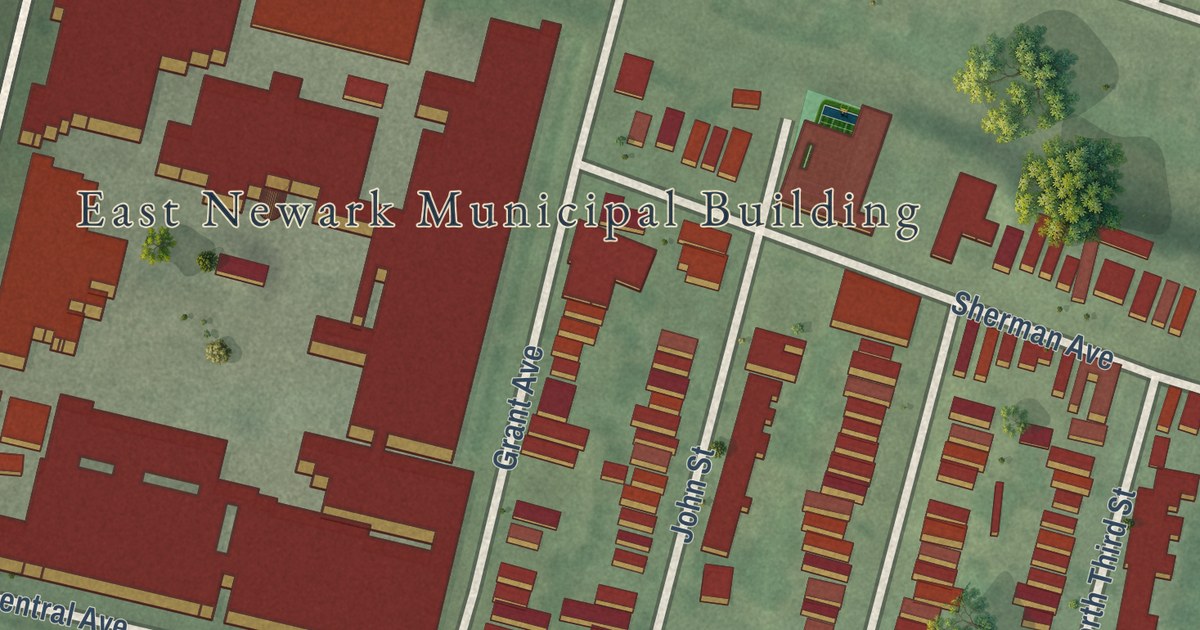
A detailed 2026 aerial map of East Newark, New Jersey, with its streets, buildings, and the places printed on the artwork.
Read More















