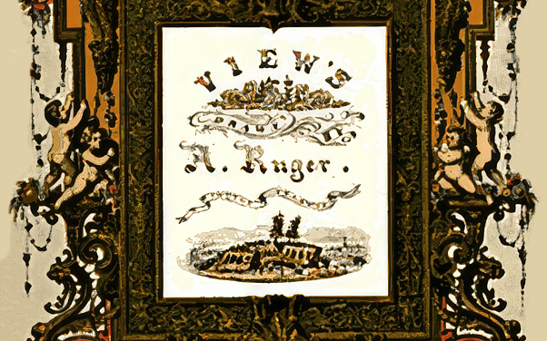
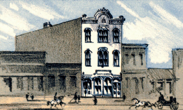
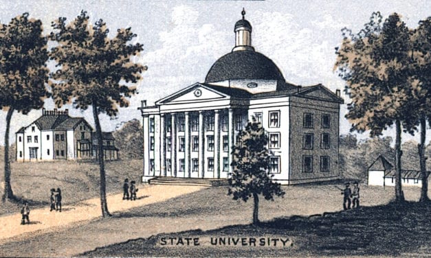
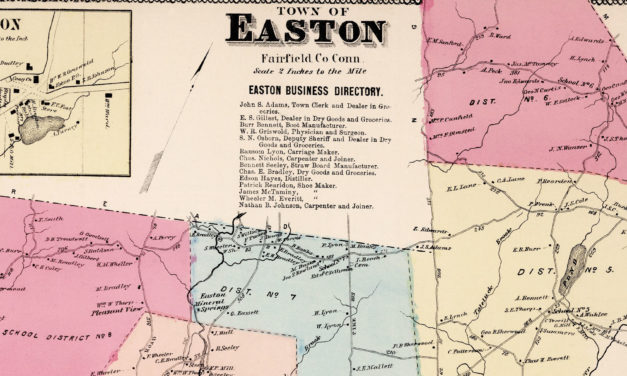
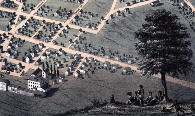
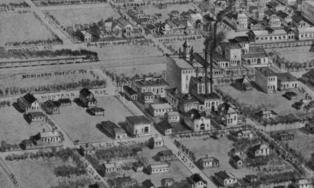
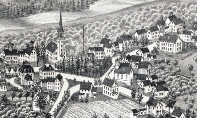
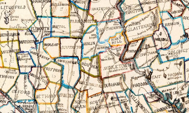
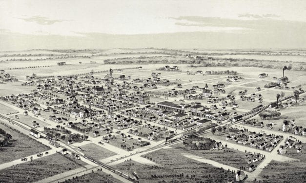
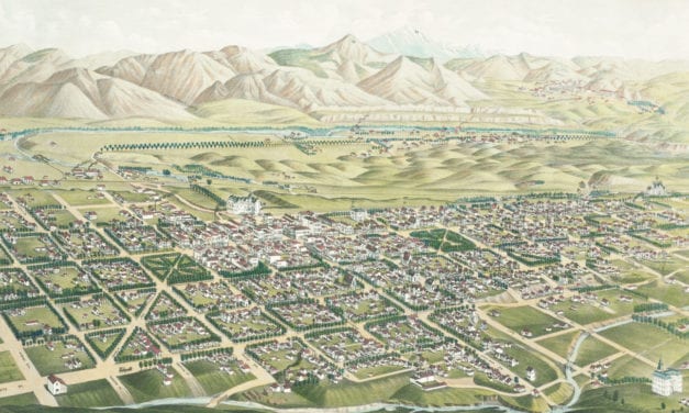
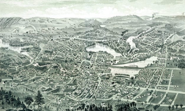
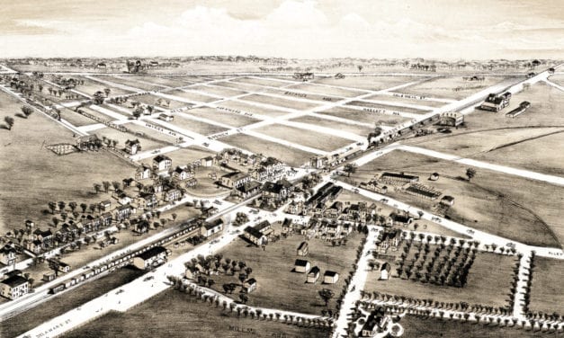
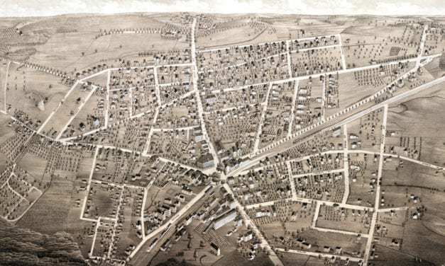
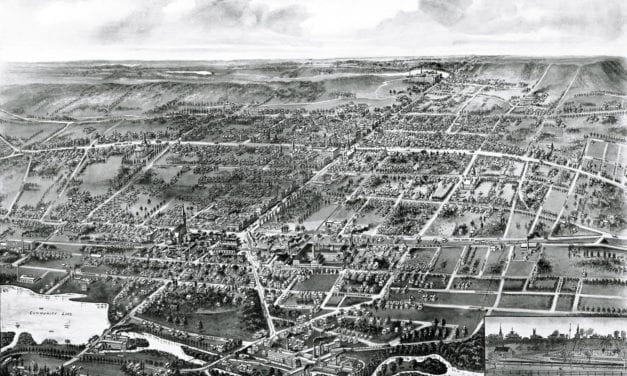
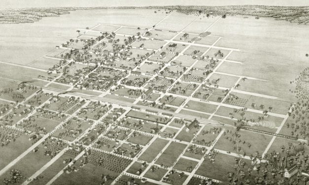
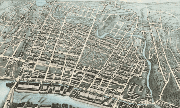
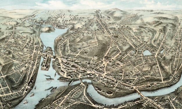
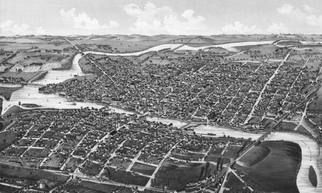
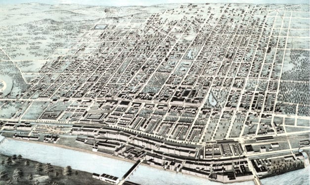
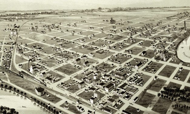
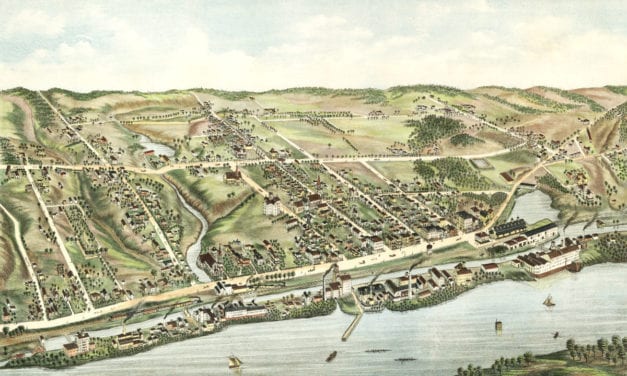
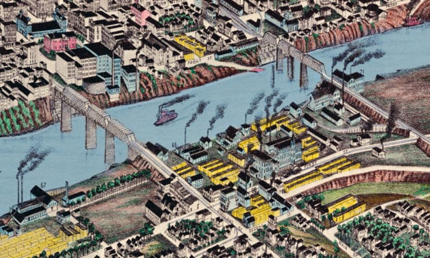
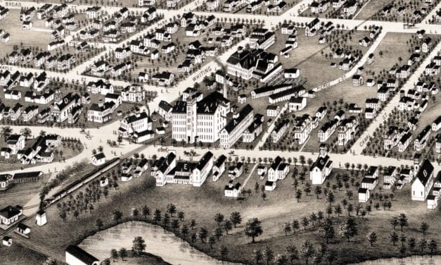
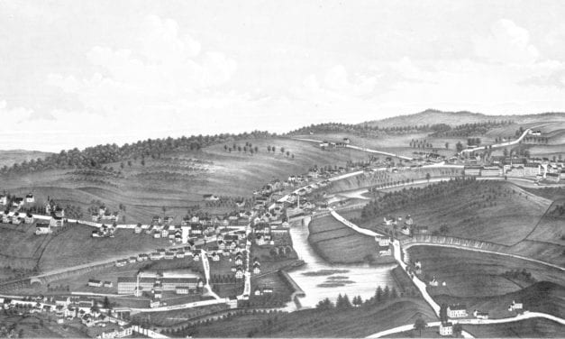
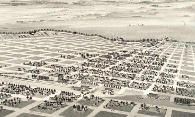
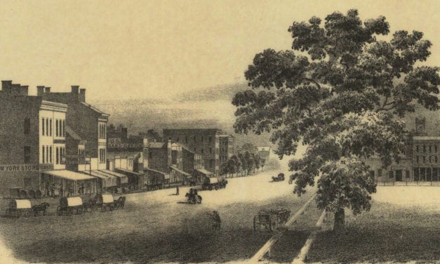
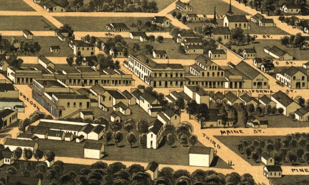
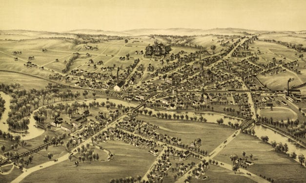
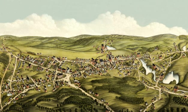
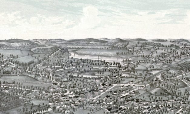
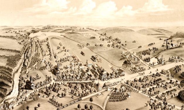
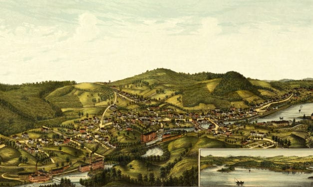
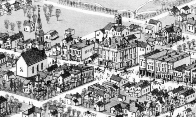
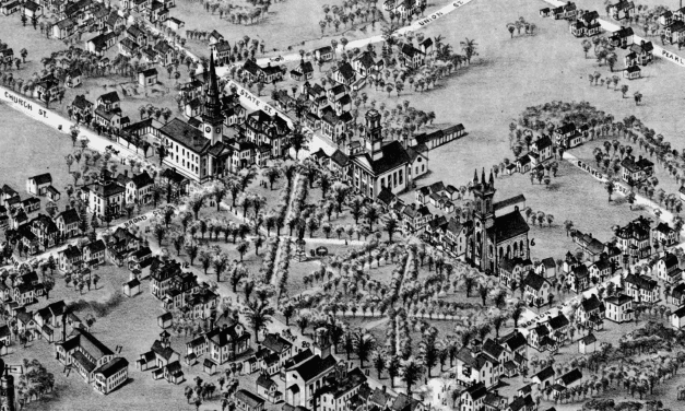
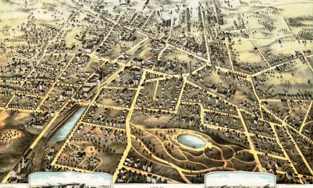
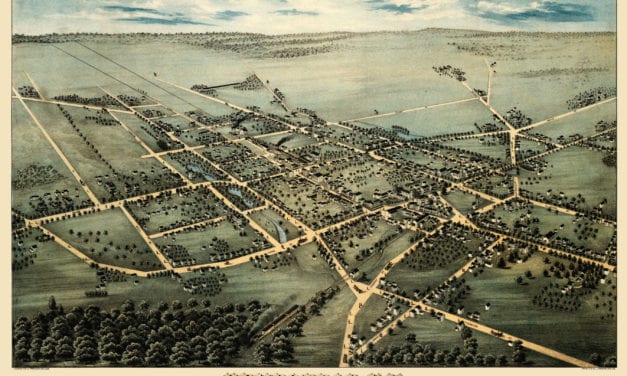
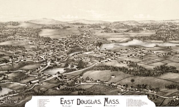
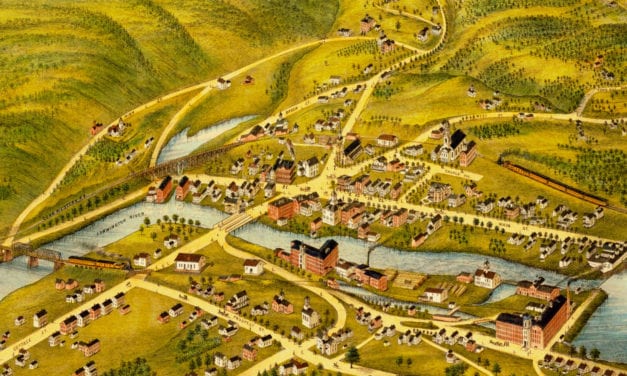
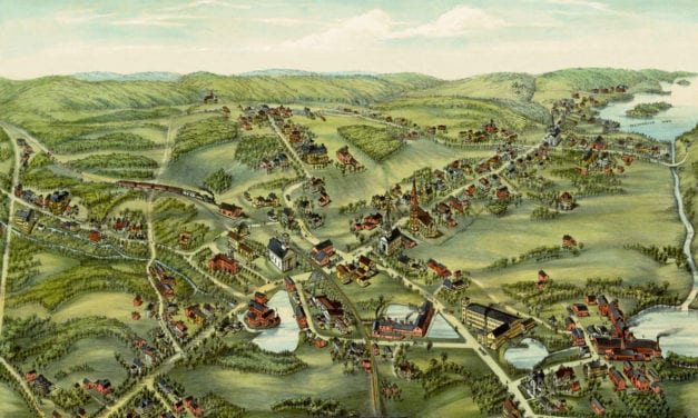
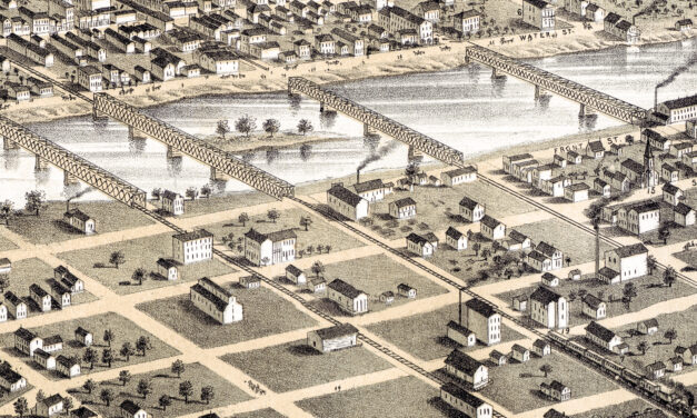
New Mexico Like Never Before: 1939 Map Brings History to Life with a Laugh
Rediscover the charm of the Southwest with this playful 1939 Cartoon Map of New Mexico. Perfect for locals who love a side of humor with their history!
Read MoreRediscover the charm of the Southwest with this playful 1939 Cartoon Map of New Mexico. Perfect for locals who love a side of humor with their history!
Read MoreThe historic map of Texas is a nostalgic and humorous representation of the state created in the...
Read MoreHistoric bird’s eye view of Columbia, Missouri from 1869
Read MoreThis vintage landowners map of Easton, Connecticut was created in 1867 by Frederick W. Beers. a prominent 19th century map maker. Beers was a prominent American map maker and publisher during the 19th century. He began his career as a civil engineer and surveyor, and later established the firm of F.W. Beers, A.D. Ellis & Co. in 1866.
Read MoreHistoric Rochester landmarks on the map include Bear Creek, Lumbro River, Rochester Railroad Depot, Public School, Court House, and Baptist, Congregational, Episcopal, Methodist, German Methodist, Presbyteria, Universalist, and Roman Catholic Churches.
Read MoreVintage Map of Beverly, Massachusetts from 1886
Read MoreThis vintage map of Florida was created in 1951 and is titled “a pictorial chart of romantic...
Read MoreHistoric bird’s eye view of Belleville, Illinois from 1867
Read MoreHistoric Wyoming landmarks on the map include Kaycee, Gillette, Big Horn Mountains, Dinosaur Beds, Cody, Jackson, Yellowstone, and more.
Read MoreVintage bird’s eye view map of Atlanta, Georgia from 1871
Read MoreHistoric bird’s eye view of Plymouth, Wisconsin from 1870
Read MoreHistoric bird’s eye view of Billings, Montana in 1904
Read MoreHistoric bird’s eye view of Westford, Massachusetts from 1886
Read MoreThis beautiful hand drawn map of Connecticut was created in 1857 by Laura Roys, a student who attended Hartford Female Seminary, an all-female academy in Hartford, Connecticut. The map is beautifully colored, with shades of blue, orange, red, pink, yellow, and violet adorning the border of each city and town.
Read MoreDetailed bird’s eye view of Whitewright, Texas in 1891
Read MoreDetailed bird’s eye view of Townsend Center, MA in 1889
Read MoreThis beautifully detailed map of Wyoming features historical facts and trivia from around the state. It was created by renowned Wyoming historian Grace Raymond Hebard in 1928.
Read MoreDetailed bird’s eye view of Uxbridge, Massachusetts in 1880
Read MoreDetailed bird’s eye view of Colorado Springs from 1882
Read MoreDetailed bird’s eye view of Winchester, Massachusetts from 1886
Read MoreDetailed bird’s eye view of Clayton, Delaware from 1885
Read MoreHistoric bird’s eye view of Brenham, Texas from 1881
Read MoreBird’s eye view of Westboro, MA in 1880
Read MoreBird’s eye view of Southbridge, Massachusetts in the 19th century.
Read MoreAmazing old map showing Chicago when it was first incorporated as a town in 1833
Read MoreWallingford, Connecticut in the 19th century.
Read MoreBird’s eye view of New Bedford, MA in 1876
Read MoreHistoric bird’s eye view of Seattle in the early 20th century
Read MoreBird’s eye view of Windsor, Vermont in 1886
Read MoreBird’s eye view of New London, Connecticut in 1876
Read MoreLove NYC? Then you’ll love this old map of Manhattan
Read MoreBird’s eye view of Grove City, PA in 1901
Read MoreGranite State legend, history, and anecdotes, mixing past and present with skill and humor.
Read MoreClick here to see a bird’s eye view of Paterson, NJ in 1880
Read MoreBird’s eye view of Cuero, TX in 1881
Read MoreThe historic map of Jeffersonville, Indiana was created in 1837 by H.L. Barnum, a civil engineer. Landmarks on the map include the Jeffersonville Ship Yard, Commercial Square, Washington Square, Jefferson Square, Franklin Square, Market Square, and more.
Read MoreThis map shows Rome, New York as it looked in 1886
Read MoreThis map shows Boston and surrounding cities in 1905
Read MoreThis old map shows Derry, New Hampshire in the late 19th century.
Read MoreHistoric map showing Abraham Lincoln’s route through Massachusetts in 1848
Read MoreThis map from 1890 shows Oconomowoc, Waukesha and Waukesha County, Wisconsin.
Read MoreThis old map shows New York City in the late 18th century.
Read MoreThis map shows Milford, New Hampshire as it looked in 1886.
Read MoreDetailed bird’s eye view of Lawrence, Massachusetts from 1876
Read MoreThis vintage map shows Phoenix, Arizona as it looked in 1885.
Read MoreThis old map shows the Forestville section of what is now known as Bristol, Connecticut.
Read MoreHistoric bird’s eye view of Clinton, Massachusetts from 1876
Read MoreThis old map shows Norwich, Connecticut as it looked in 1876.
Read MoreIn 1883, Brooklynite S.D.L. Taunton created this beautifully detailed map of his hometown in New...
Read MoreThis vintage map shows Alton, New Hampshire as it looked in 1888.
Read MoreHistoric bird’s eye view of Watertown, Wisconsin from 1885
Read MoreThe racial makeup of Brooklyn in the 1920’s
Read MoreBeautiful old map of the Nutmeg State illustrated with unique vintage drawings.
Read MoreWhat do you first think of when someone says: “Portland”? Pittock Mansion? Union Station?...
Read MoreThis map shows Manchester, New Hampshire as it looked in 1876. It was created by J.C. Hazen, and...
Read MoreThis map shows Southington, Connecticut as it looked in 1878.
Read MoreThis map was created for the New York City Fire Department in 1834. Officially known as “The...
Read MoreThis old map shows Lambertville, New Jersey in the late 19th century.
Read MoreThis map shows Bradford, Massachusetts in 1892, five years before it was annexed to the city of Haverhill.
Read MoreThis old map shows Ironwood, Michigan in the late 19th century.
Read MoreThis old map shows Wichita Falls, Texas in the late 19th century.
Read MoreHistoric bird’s eye view of Bethel, Connecticut in 1879
Read MoreThis vintage map of Hartford, CT shows the city as it looked in the 1600’s.
Read MoreDetailed bird’s eye view of Branford in the early 20th century.
Read MoreThis map shows Windsor Locks, Connecticut as it looked in 1877
Read MoreClick here to see what Bristol looked like more than 100 years ago!
Read MoreThis amazing old map shows Newark, New Jersey as it looked in 1916.
Read MoreThis old map of Wallingford, CT is a hand colored lithograph from 1893. The map was created by...
Read MoreHistoric bird’s eye view of Nashville, Tennessee from 1888
Read MoreHistoric bird’s eye view of Plainville, Connecticut in 1878
Read MoreThis map shows Moosup, Connecticut as it looked in 1889.
Read MoreThis old map features historical Connecticut trivia from the 17th – 20th century.
Read MoreThis old map shows Merced, California in the late 19th century.
Read MoreThis map of Guilford, CT shows the town as it looked in 1881.
Read MoreHistorical map showing Ligonier, Pennsylvania at the beginning of the 20th century.
Read MoreHistoric bird’s eye view of Fort Worth, Texas from 1891
Read MoreIt has a high, beautiful and very healthy location upon the Iowa River, which is a bold deep stream of clear water, navigable with Steamboats during several months of each year, and commands the growing trade of a large scope of exceedingly fertile country, well timbered and watered.
Read MoreBird’s eye view of Jacksonville, Oregon in 1883
Read MoreThis old map shows Cambridgeboro, Pennsylvania in the late 19th century.
Read MoreThis old map shows Monson, Massachusetts in the late 19th century.
Read MoreThis map of Long Island was originally published in 1938
Read MoreThis map shows Brockton, Massachusetts in 1882
Read MoreClick here to see Williamstown, MA in 1889
Read MoreThis old map shows Waco, Texas in the late 19th century.
Read MoreHistoric bird’s eye view of Northborough, Massachusetts from 1887
Read MoreThis map shows Manchester, Connecticut as it looked in 1880, including the NY and New England Railroad Station
Read MoreThis old map shows Milton, New Hampshire in the late 19th century.
Read MoreHistoric bird’s eye view of Alma, Michigan in 1885
Read MoreHistoric bird’s eye view of Guilford, Connecticut in 1881
Read MoreThis map shows New Britain, Connecticut in 1875.
Read MoreThis map shows Hempstead, New York as it looked in 1876. It was created by Fowler & Bulger in 1876.
Read MoreThis old map shows Henniker, New Hampshire in the late 19th century.
Read MoreClick here to see the full map.
Read MoreThis old map shows New Hartford, Connecticut in the late 19th century.
Read MoreThis map from the 1930’s is filled with wonderful scenes from NJ history!
Read MoreThis old map shows Clinton, Connecticut in the late 19th century.
Read MoreThis old map shows East Hampton, Connecticut in the late 19th century.
Read MoreThis map from 1892 shows Norfolk, Virginia and the surrounding areas.
Read MoreThis old map shows Madison, Wisconsin in the late 19th century.
Read MoreClick here to see what Wareham, Massachusetts looked like in the late 19th century.
Read More