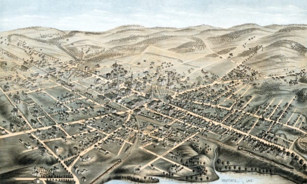
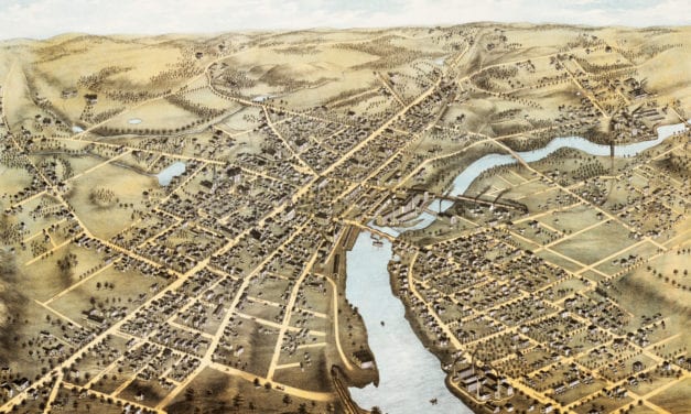
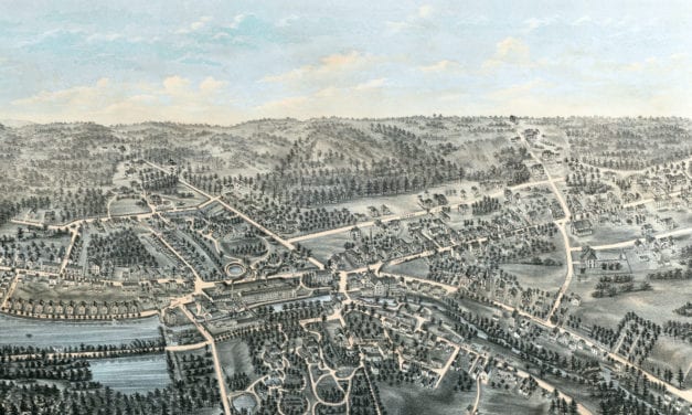
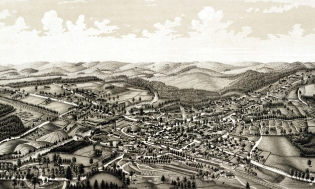
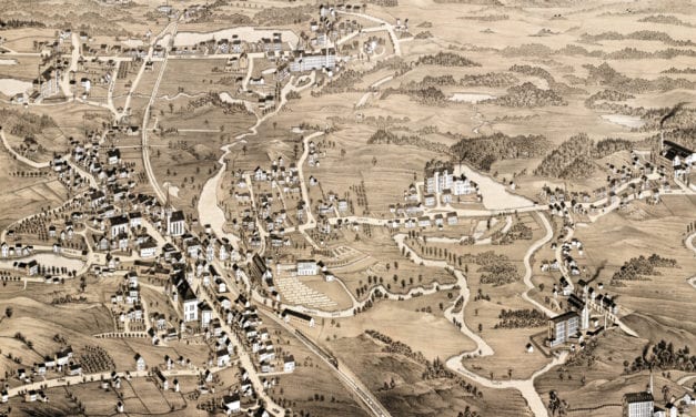
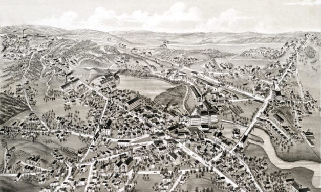
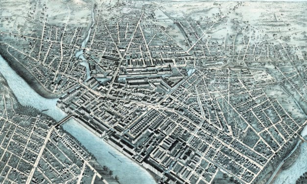
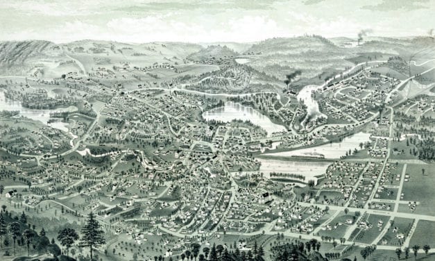
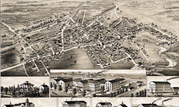
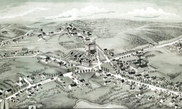
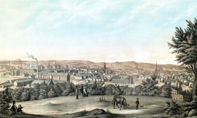
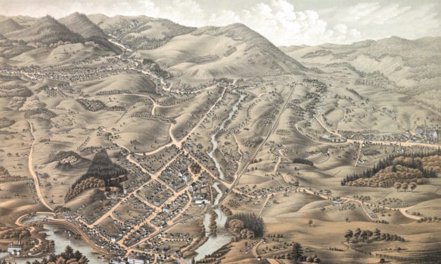
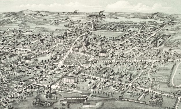
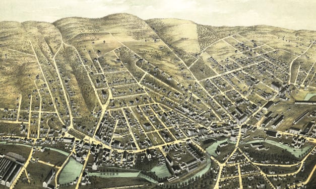
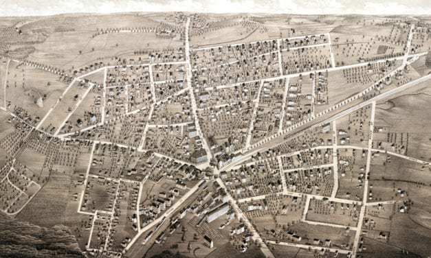
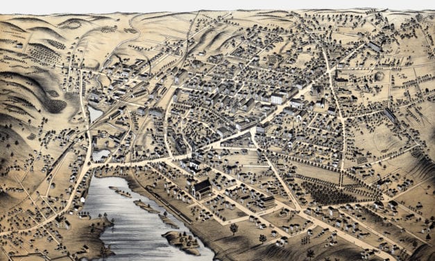
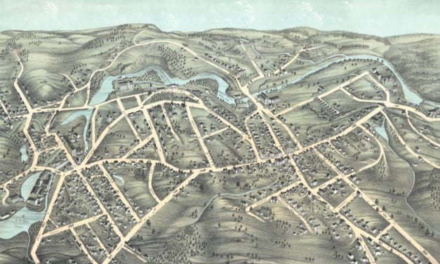
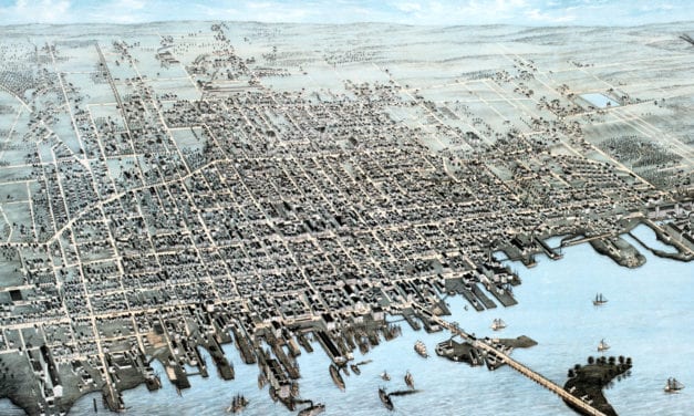
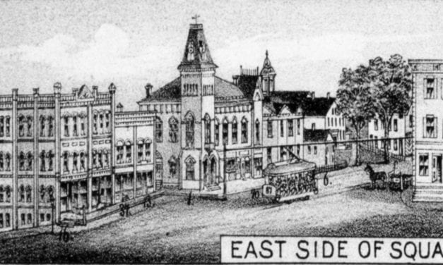
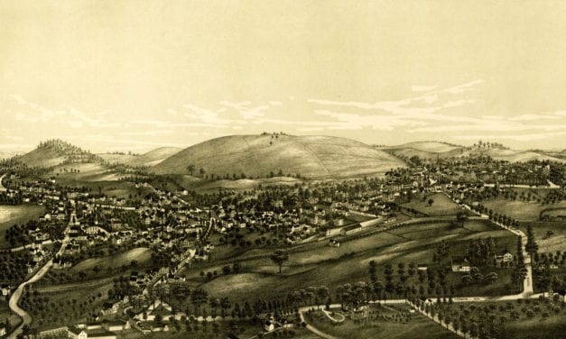
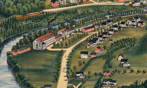
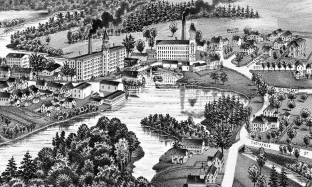
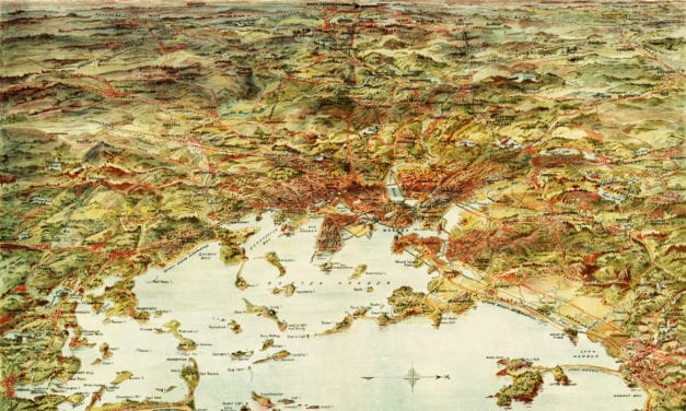
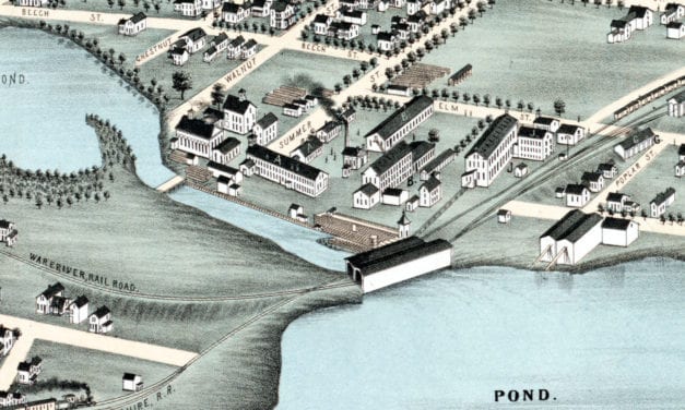
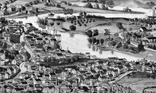
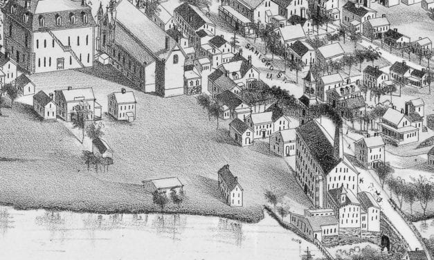
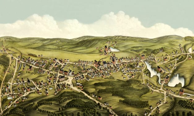
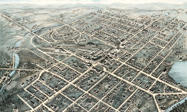
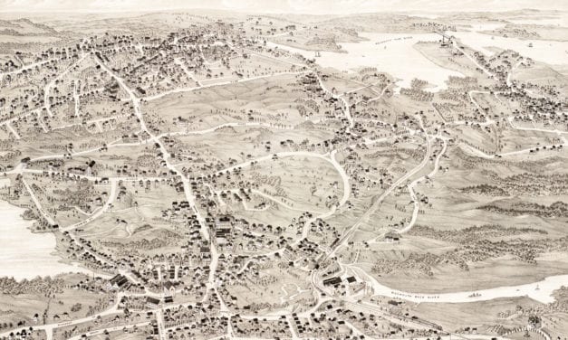
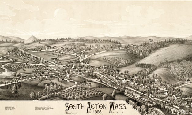
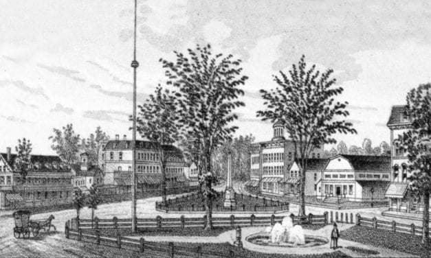
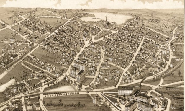
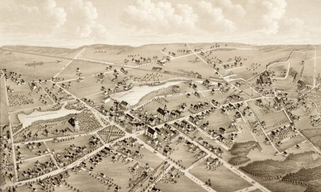
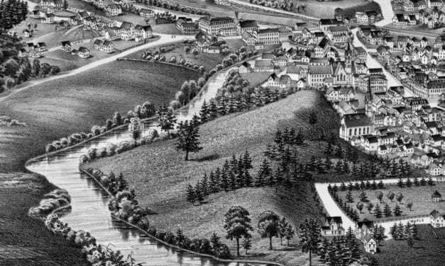
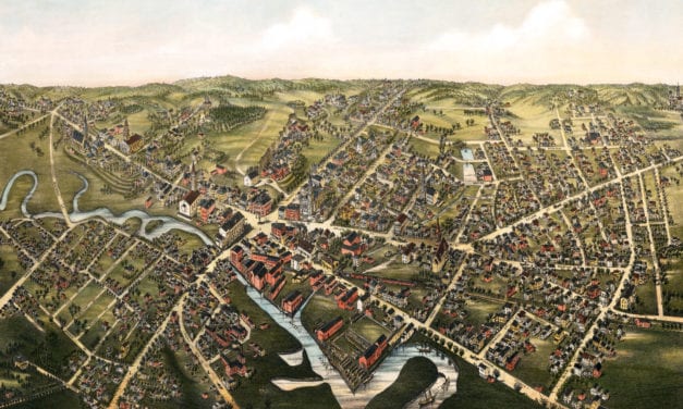
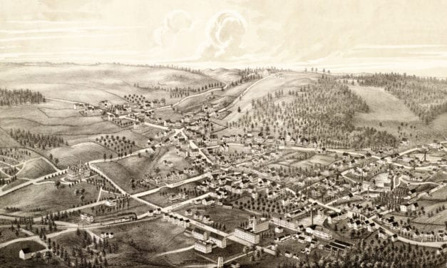
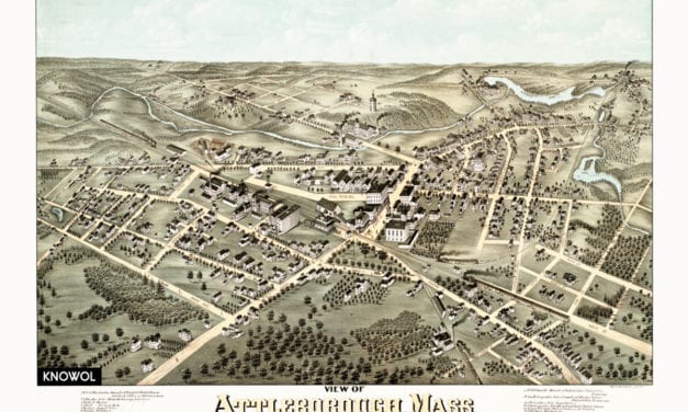
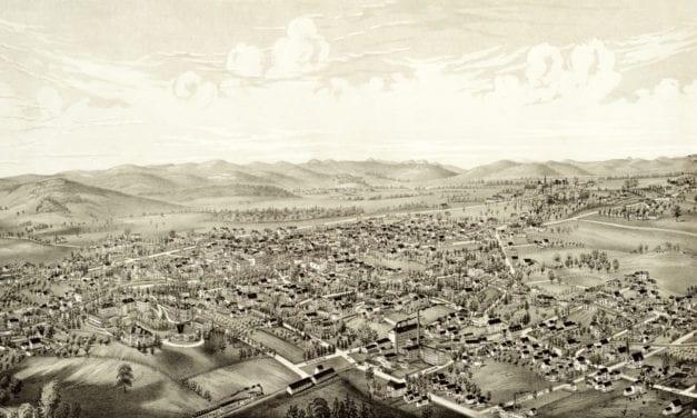
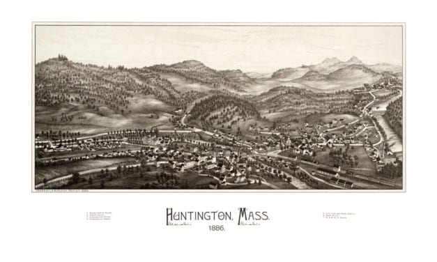
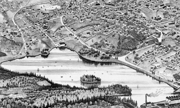
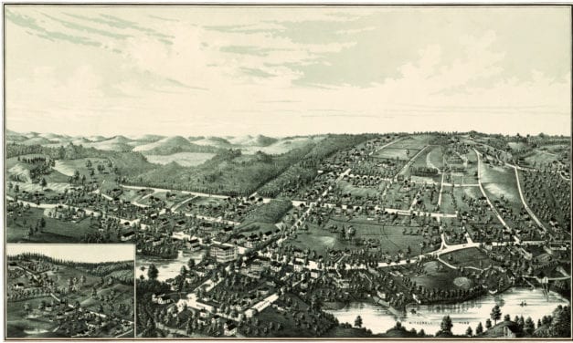
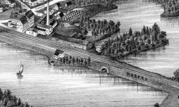
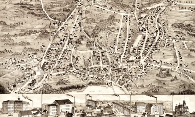
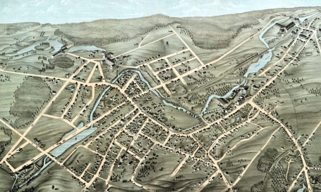
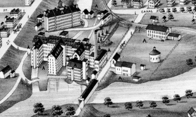
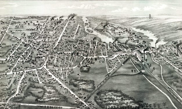
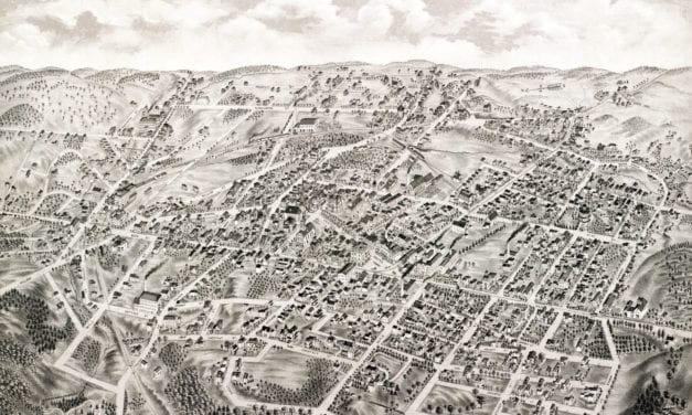
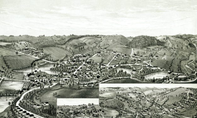
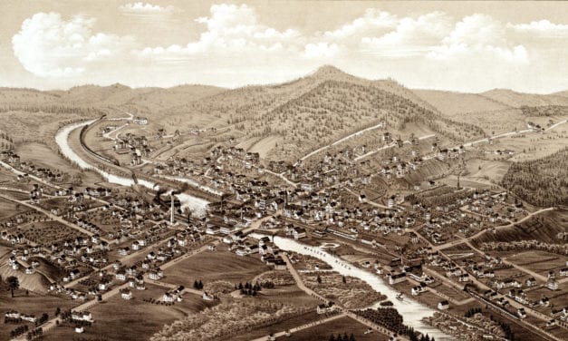
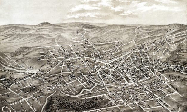
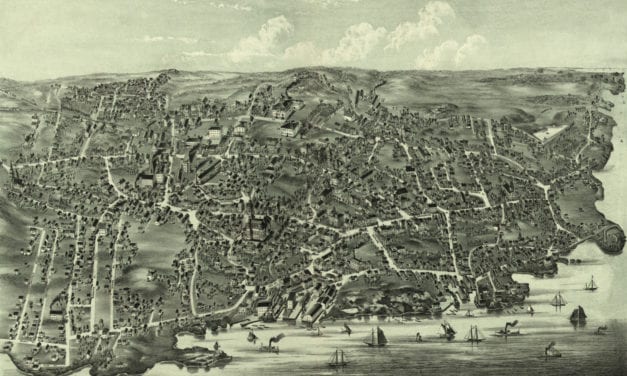
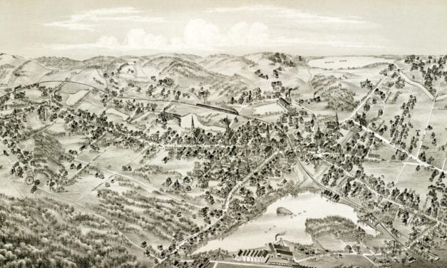
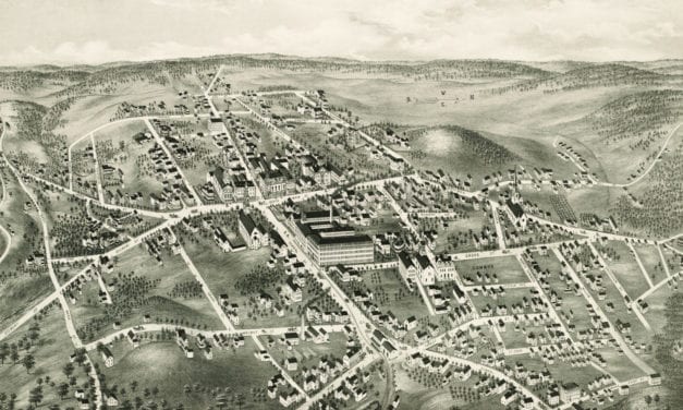
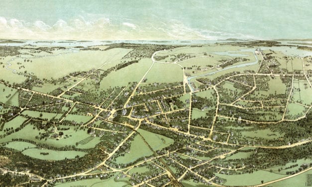
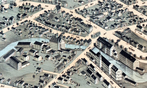
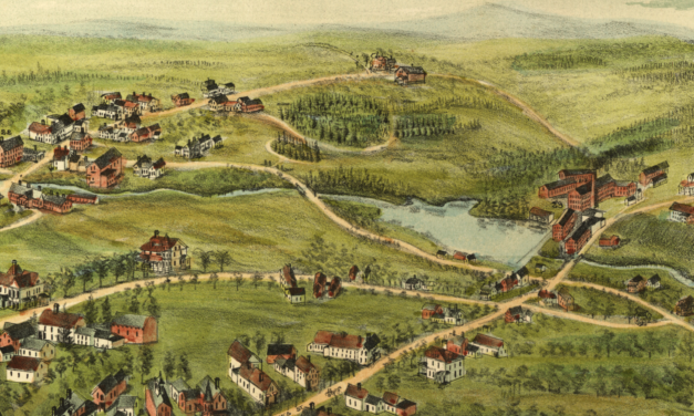
Vintage Map of Beverly, Massachusetts from 1886
Read MoreVintage Map of Beverly, Massachusetts from 1886
Read MoreHistoric bird’s eye view of Westford, Massachusetts from 1886
Read MoreHistoric bird’s eye view of Mattapan, MA in 1890
Read MoreDetailed bird’s eye view of Marlborough, Massachusetts in 1878
Read MoreDetailed bird’s eye view of Natick, Massachusetts in 1877
Read MoreDetailed bird’s eye view of Waltham, Massachusetts in 1877
Read MoreDetailed bird’s eye view of Whitinsville, Massachusetts in 1879
Read MoreDetailed bird’s eye view of Townsend Center, MA in 1889
Read MoreDetailed bird’s eye view of Uxbridge, Massachusetts in 1880
Read MoreDetailed bird’s eye view of Methuen, Massachusetts from 1882
Read MoreDetailed bird’s eye view of Lowell, Massachusetts from 1876
Read MoreDetailed bird’s eye view of Winchester, Massachusetts from 1886
Read MoreDetailed bird’s eye view of Middleboro, Massachusetts from 1881
Read MoreDetailed bird’s eye view of Wrentham, Massachusetts from 1888
Read MoreDetailed bird’s eye view of Lawrence, Massachusetts from 1855
Read MoreBird’s eye view of Lee, Massachusetts
Read MoreHistoric bird’s eye view of Foxboro, Mass
Read MoreHistoric old map of Fitchburg, Massachusetts from 1875
Read MoreBird’s eye view of Westboro, MA in 1880
Read MoreBird’s eye view of Milford, MA in the late 19th century.
Read MoreBird’s eye view of Southbridge, Massachusetts in the 19th century.
Read MoreBird’s eye view of New Bedford, MA in 1876
Read MoreHistoric bird’s eye view of Merrimac, Massachusetts in 1889
Read MoreBird’s eye view of Groton, Massachusetts in 1886
Read MoreHistoric bird’s eye view of Housatonic, Massachusetts from 1890
Read MoreThe grounds were landscaped by Frederick Law Olmsted, designer of Central Park in…
Read MoreHistoric bird’s eye view of North Billerica, Massachusetts from 1887
Read MoreThis map shows Boston and surrounding cities in 1905
Read MoreHistoric map showing Abraham Lincoln’s route through Massachusetts in 1848
Read MoreThis old map shows Woods Hole, Massachusetts in the late 19th century.
Read MoreHistoric bird’s eye view of Winchendon, Massachusetts from 1878
Read MoreHistoric bird’s eye view of Ipswich, Massachusetts from 1893
Read MoreHistoric bird’s eye view of Haverhill, Massachusetts from 1893
Read MoreHistoric bird’s eye view of Milford, MA from 1888
Read MoreThis map shows Lynn Woods in Lynn, Massachusetts as it looked in 1904.
Read MoreThis map shows Plymouth, Massachusetts as it looked in 1910
Read MoreThis photo showing children in the tenement district of Brockton, MA was taken by Jack Delano in...
Read MoreThis picture was taken in Brockton, Massachusetts in 1908 and shows a female bareback horse rider...
Read MoreThis photograph shows the Lodge Room of Paul Revere Lodge in Brockton, Massachusetts. This is the...
Read MoreIn August 1817, it was reported by various authorities that an animal with a unique appearance had been recently and repeatedly seen in the harbor of Gloucester, Cape Ann Massachusetts. It was said to resemble a serpent in its general form and motions, to be of immense size, and to move with wonderful speed.
Read MoreBird’s eye view of Medway, Massachusetts from 1887
Read MoreThis old map shows Monson, Massachusetts in the late 19th century.
Read MoreHistoric bird’s eye view of Provincetown, Massachusetts as it used to be
Read MoreClick here to see Williamstown, MA in 1889
Read MoreHistoric bird’s eye view of Northborough, Massachusetts from 1887
Read MoreThis old map shows Pittsfield, Massachusetts in the late 19th century.
Read MoreClick here to see the full map.
Read MoreThis old map shows Spencer, Massachusetts in the late 19th century.
Read MoreSee what Lynn looked like more than 100 years ago!
Read MoreThis map shows Holyoke, Massachusetts as it looked in 1881. At the time only 22,000 people lived in Holyoke.
Read MoreThis old map shows West Medford as it looked more than 100 years ago
Read MoreVintage map of East Boston, Massachusetts from the late 19th century.
Read MoreThis amazing map of New Bedford, Massachusetts shows the town as it looked in 1871
Read MoreThis amazing map of Weymouth, Massachusetts shows a bird’s eye view of the city as it looked in 1880.
Read MoreThis map of South Acton, Massachusetts was created in 1886 by Lucien R. Burleigh, an artist and...
Read MoreHistoric bird’s eye view of Leominster, Massachusetts from 1886
Read MoreThis old map shows Wakefield, Massachusetts as it looked in 1882.
Read MoreThis old map shows Mansfield, Massachusetts when only 2,700 people lived there.
Read MoreHistoric bird’s eye view of Athol, Massachusetts from 1887
Read MoreMartha’s Vineyard, the Enchanted Isle was an advertising poster created in 1934.
Read MoreThis old map shows Medford, Massachusetts as it looked in 1880.
Read MoreClick here to see what Ashburnham looked like in 1886
Read MoreThis old map shows Attleboro, Massachusetts as it looked in 1878. The map was created by O.H....
Read MoreClick here to see a bird’s eye view of Amherst, Massachusetts in 1886.
Read MoreThis beautiful hand drawn map of Huntington, Massachusetts was created by Hughes & Bailey Publishers in 1886. The map shows a bird’s eye view of Huntington, MA surrounded by hand drawn pictures of historic Huntington landmarks.
Read MoreThis beautiful vintage travel poster was used to promote tourism to Nantucket in the 1950’s.
Read MoreHistoric bird’s eye view of Woburn, Massachusetts in 1883
Read MoreClick here to see what Plainville, MA looked like in 1887.
Read MoreHistoric bird’s eye view of Ayer, Massachusetts in 1886
Read MoreClick here to see the full map.
Read MoreThis amazing vintage map of Rockport, Massachusetts was created by Jacqueline Hudson in 1940
Read MoreHistoric map of Martha’s Vineyard from 1954
Read MoreThis is what Haverhill looked like when only 30,000 people lived here
Read MoreThis map of Gardner, Massachusetts was created in 1880 by Beck & Paul Lithographers and the...
Read MoreHistoric bird’s eye view of Chicopee, Massachusetts in 1878
Read MoreHistoric bird’s eye view of Webster, Massachusetts
Read MoreHistoric old map of Blackstone, Massachusetts from 1879
Read MoreHistoric old map of Whitman, Massachusetts from 1889
Read MoreDetailed bird’s eye view of Vineyard Haven, MA in 1893
Read MoreDetailed bird’s eye view of Stoneham, Massachusetts in 1878
Read MoreDetailed bird’s eye view of Charlton, Massachusetts in 1887
Read MoreDetailed bird’s eye view of Orange, Massachusetts in 1883
Read MoreHistoric bird’s eye view of Hyde Park, Massachusetts in 1879
Read MoreDetailed bird’s eye view of Marblehead, Massachusetts in 1882
Read MoreDetailed bird’s eye view of East Cambridge, Massachusetts in 1879
Read MoreThis map of Boston by Benjamin Rees Davies was published in 1853 by the Society for the Diffusion...
Read MoreHistoric old map shows a bird’s eye view of Haverhill, Massachusetts in 1876
Read MoreThis beautifully detailed map of Dedham, Massachusetts features historical facts and trivia from around the state. It was created by renowned illustrator Ernest Dudley Chase in 1954.
Read MoreBird’s eye view of Arlington, MA in 1884
Read MoreHistoric bird’s eye view of North Brookfield, Massachusetts in the late 19th century.
Read MoreHistoric bird’s eye view of Quincy, Massachusetts
Read MoreThis birds eye view of Buzzards Bay shows the area as it looked in 1907.
Read MoreHistoric bird’s eye view of Newburyport, Massachusetts from 1894
Read MoreRare bird’s eye view of Ware, MA in the late 19th century.
Read More