Detailed Map of Pinedale, New Mexico
A detailed map of Pinedale, New Mexico, showing every building in its true location, the roads by name, and shaded topographical relief.
Read More
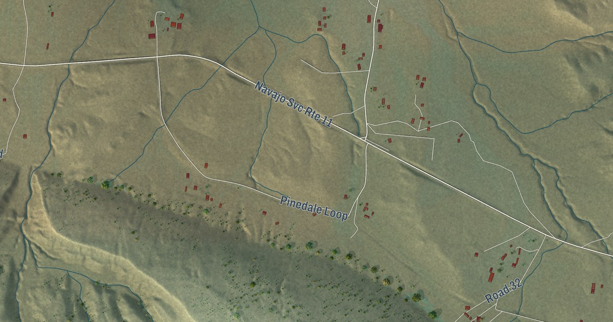
A detailed map of Pinedale, New Mexico, showing every building in its true location, the roads by name, and shaded topographical relief.
Read More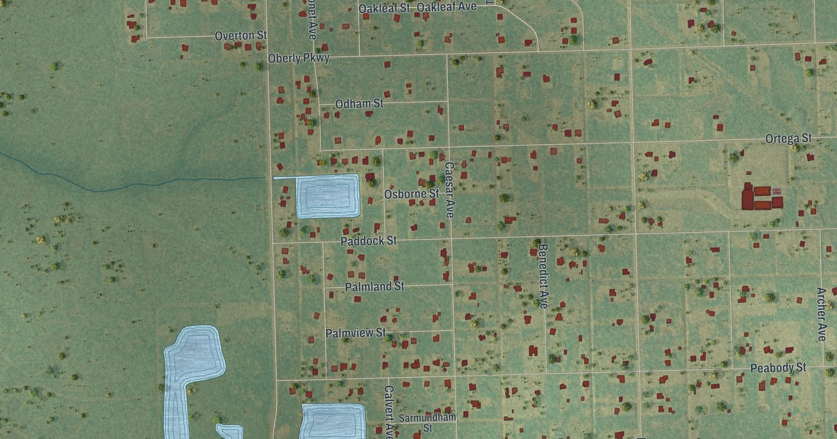
A detailed map of Wedgefield, Florida, showing every building in its true location, the roads by name, and shaded topographical relief.
Read More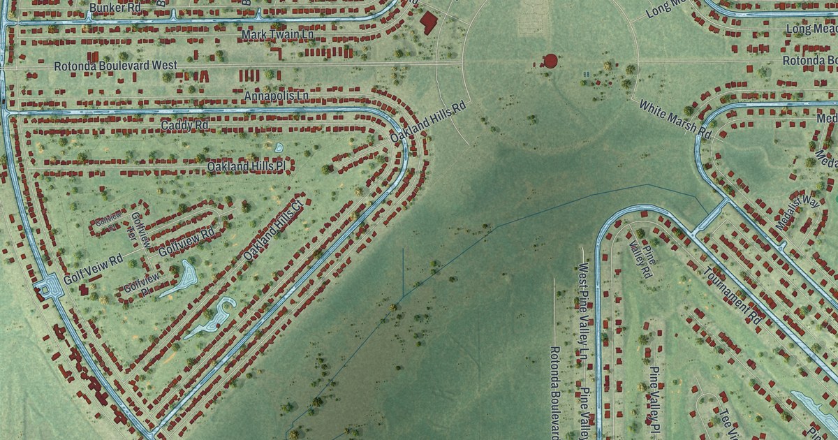
A detailed map of Rotonda, Florida, showing every building in its true location, the roads by name, and shaded topographical relief.
Read More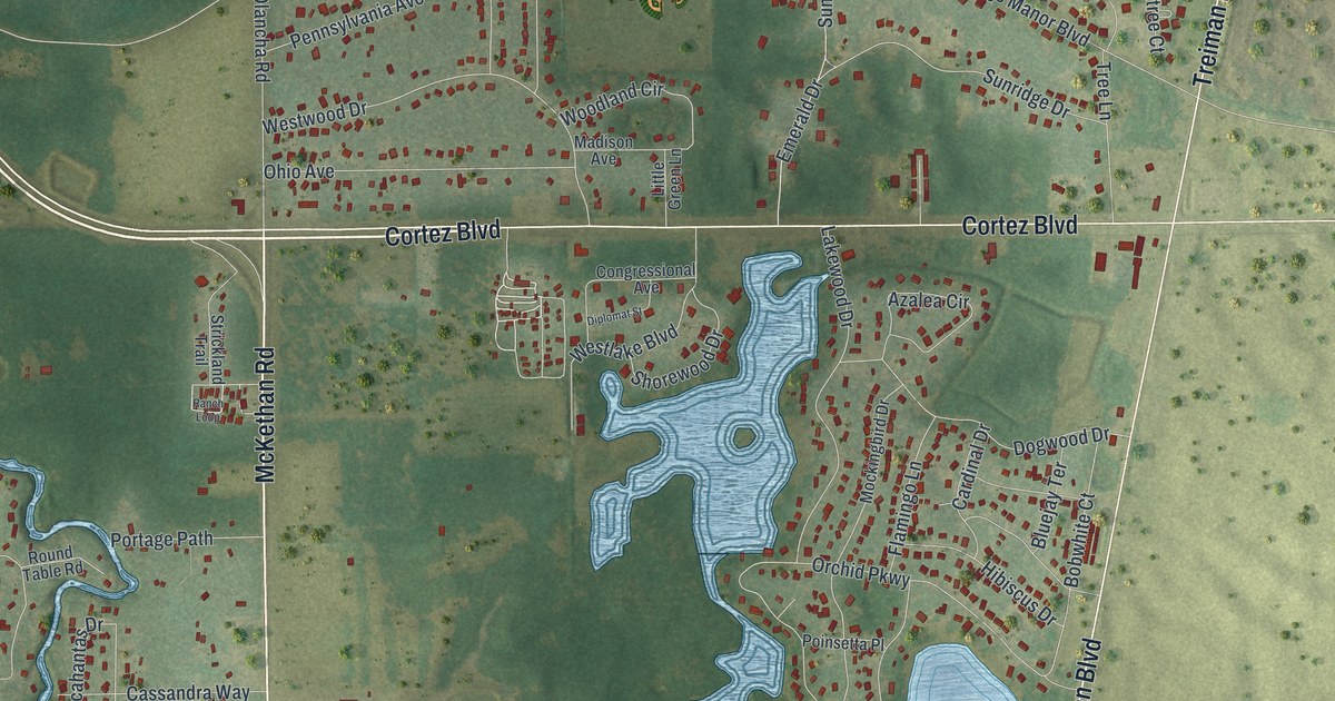
A detailed map of Ridge Manor, Florida, showing every building in its true location, the roads by name, and shaded topographical relief.
Read More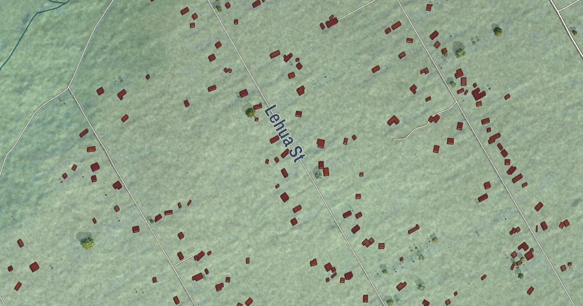
A detailed map of Fern Acres, Hawaii, showing every building in its true location, the roads by name, and shaded topographical relief.
Read More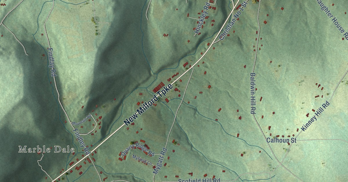
A detailed map of New Preston, Connecticut, showing every building in its true location, the roads by name, and shaded topographical relief.
Read More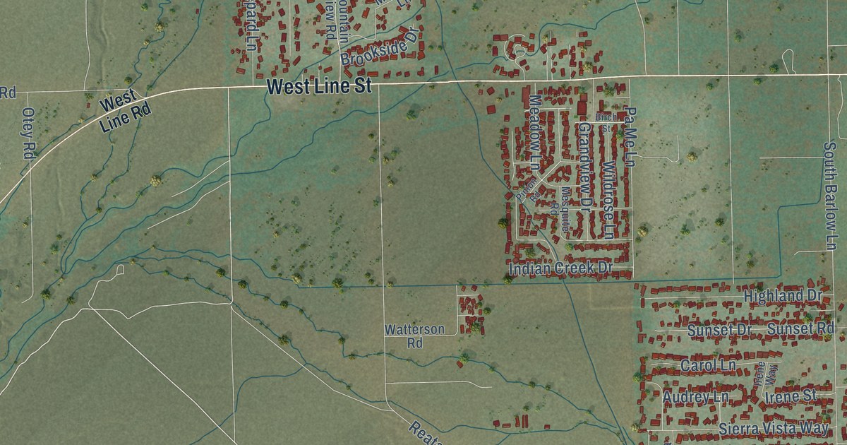
A detailed map of West Bishop, California, showing every building in its true location, the roads by name, and shaded topographical relief.
Read More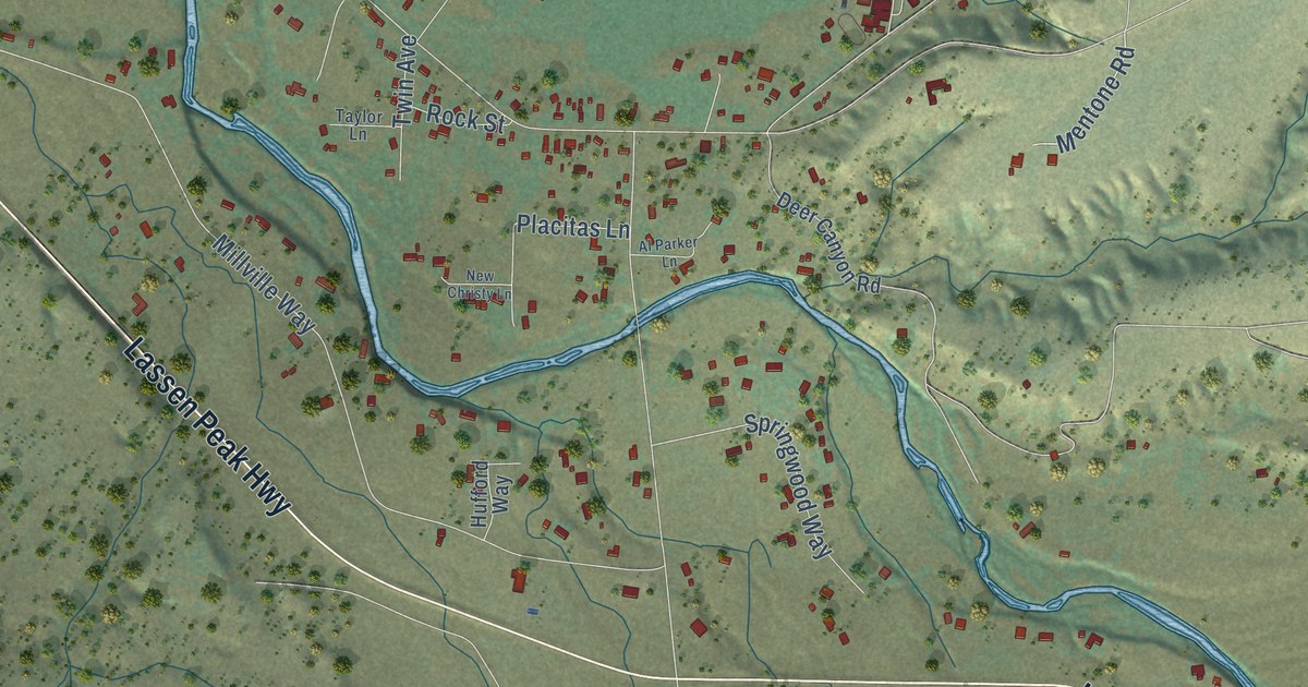
A detailed map of Millville, California, showing every building in its true location, the roads by name, and shaded topographical relief.
Read More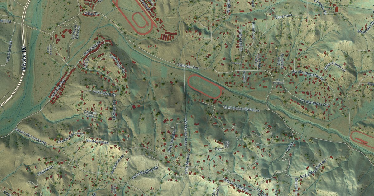
A detailed map of Bonsall, California, showing every building in its true location, the roads by name, and shaded topographical relief.
Read More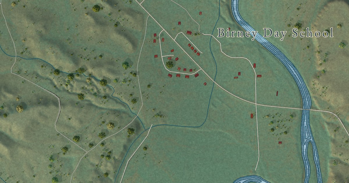
A detailed map of Birney, Montana, showing every building in its true location, the roads by name, and shaded topographical relief.
Read More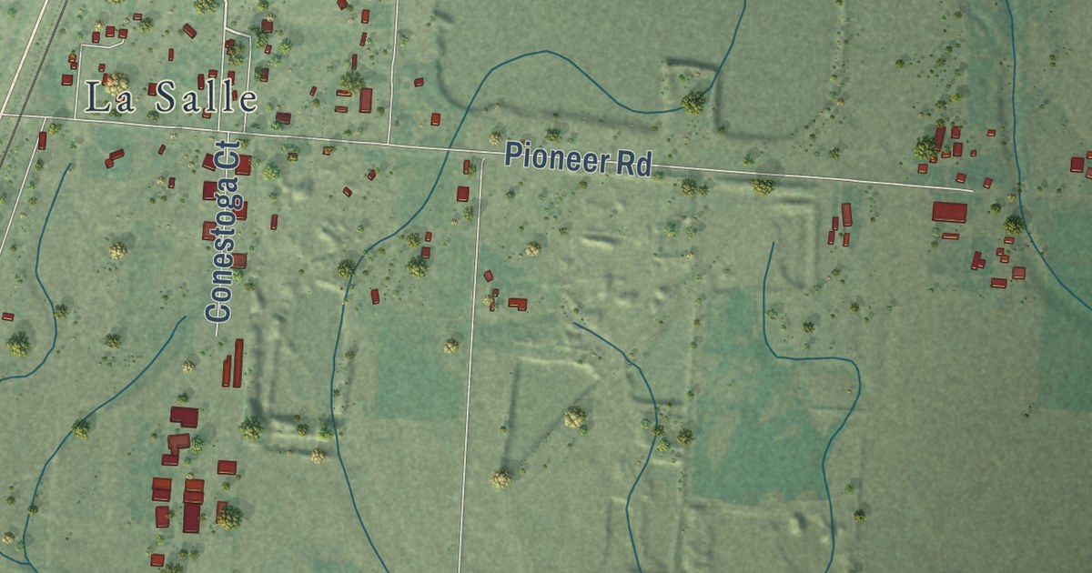
A detailed map of Helena Flats, Montana, showing every building in its true location, the roads by name, and shaded topographical relief.
Read More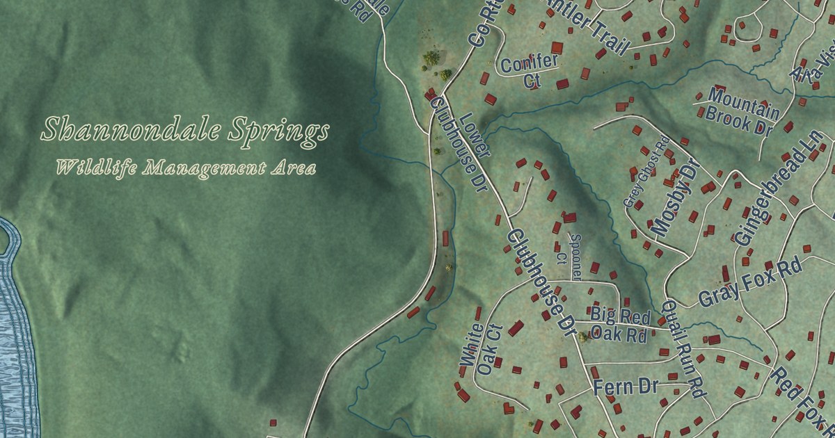
A detailed map of Shannondale, West Virginia, showing every building in its true location, the roads by name, and shaded topographical relief.
Read More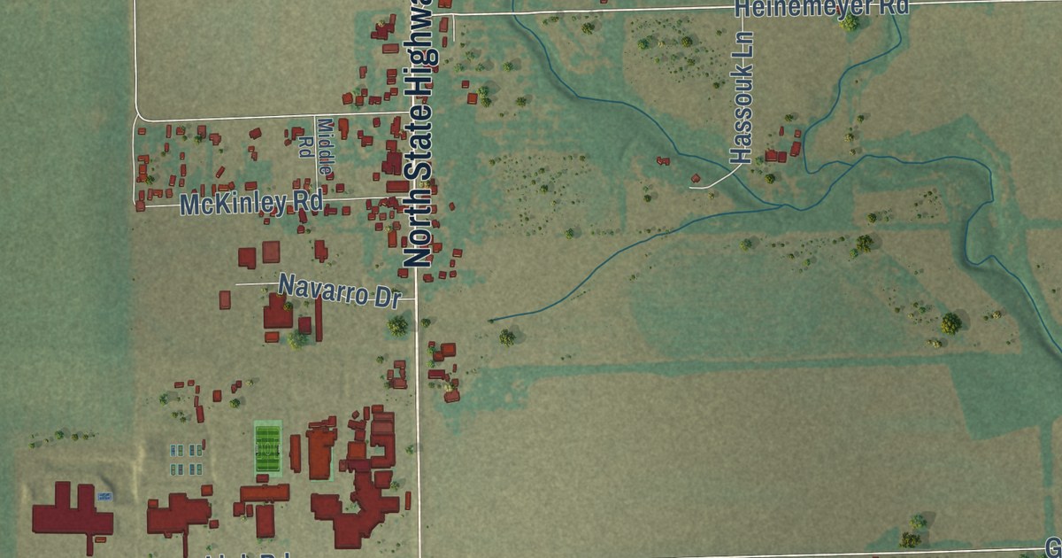
A detailed map of Geronimo, Texas, showing every building in its true location, the roads by name, and shaded topographical relief.
Read More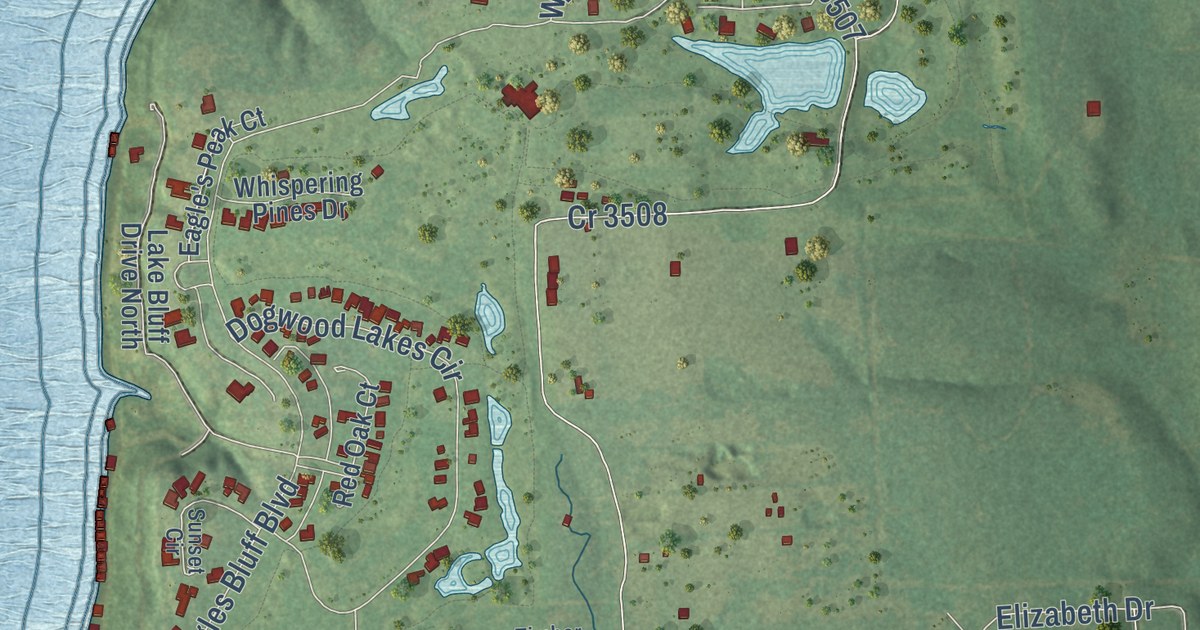
A detailed map of Shadybrook, Texas, showing every building in its true location, the roads by name, and shaded topographical relief.
Read More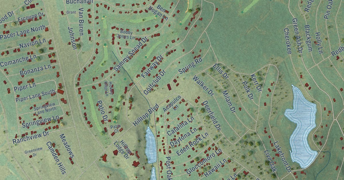
A detailed map of Hilltop Lakes, Texas, showing every building in its true location, the roads by name, and shaded topographical relief.
Read More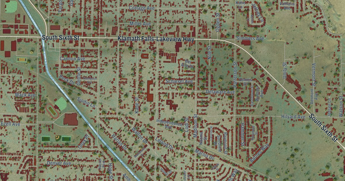
A detailed map of Altamont, Oregon, showing every building in its true location, the roads by name, and shaded topographical relief.
Read More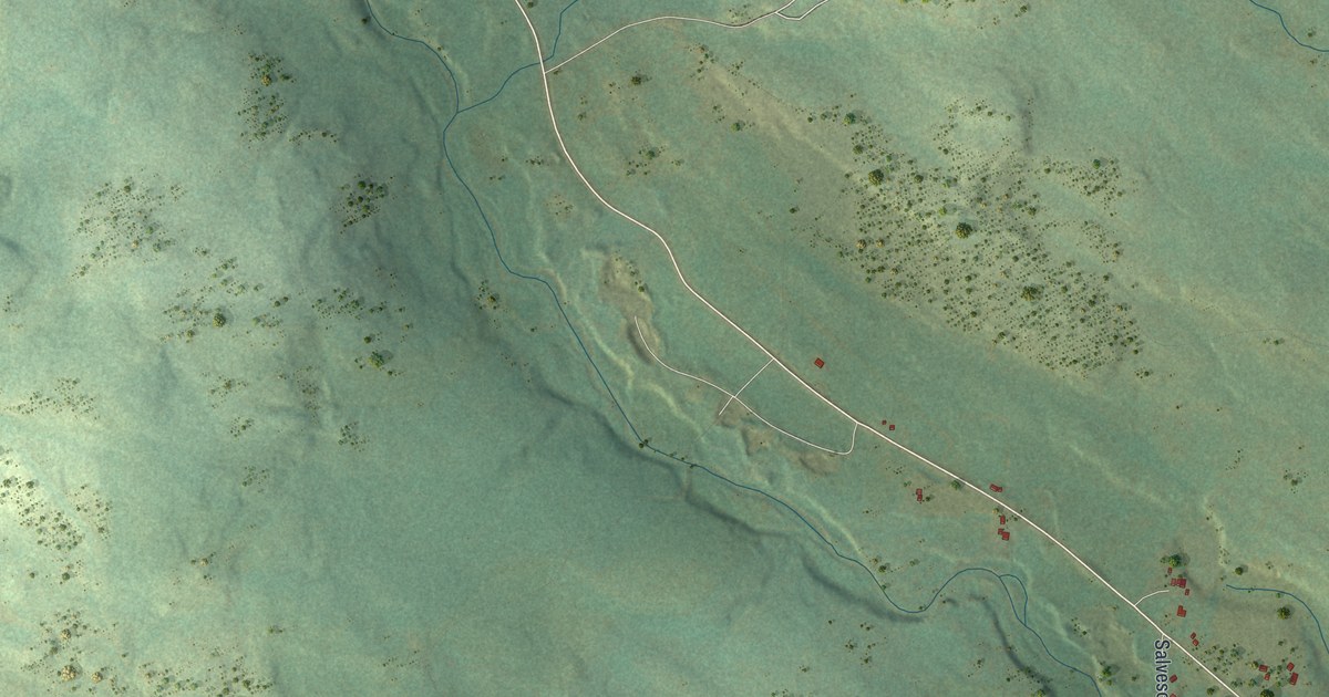
A detailed map of Finland, Minnesota, showing every building in its true location, the roads by name, and shaded topographical relief.
Read More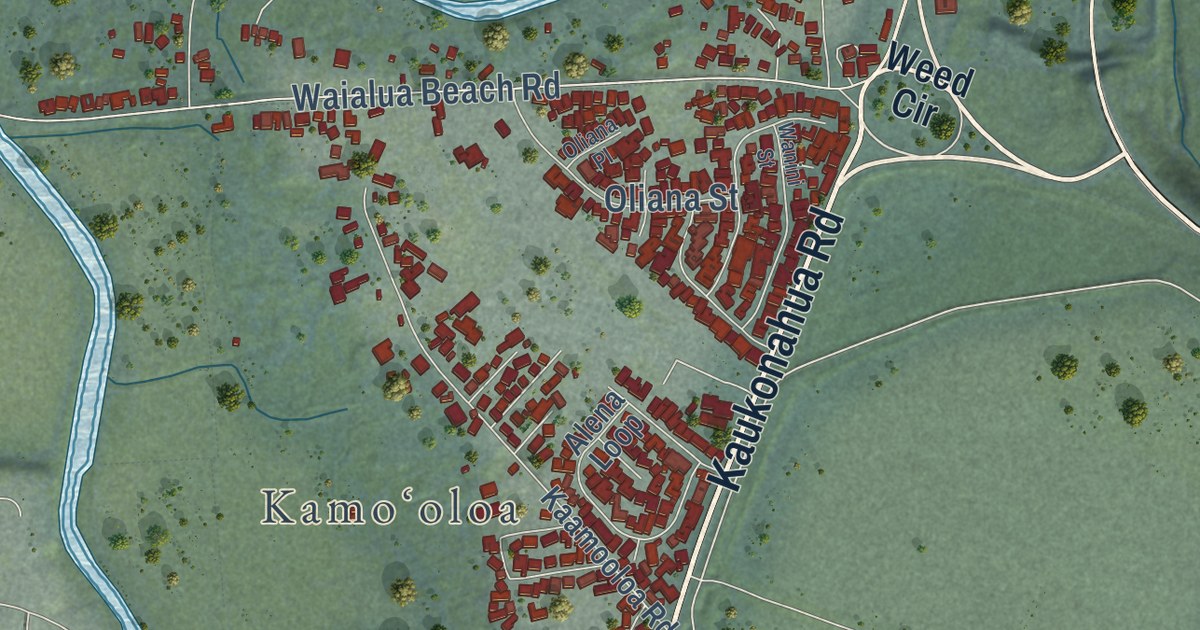
A detailed map of Haleiwa, Hawaii, showing every building in its true location, the roads by name, and shaded topographical relief.
Read More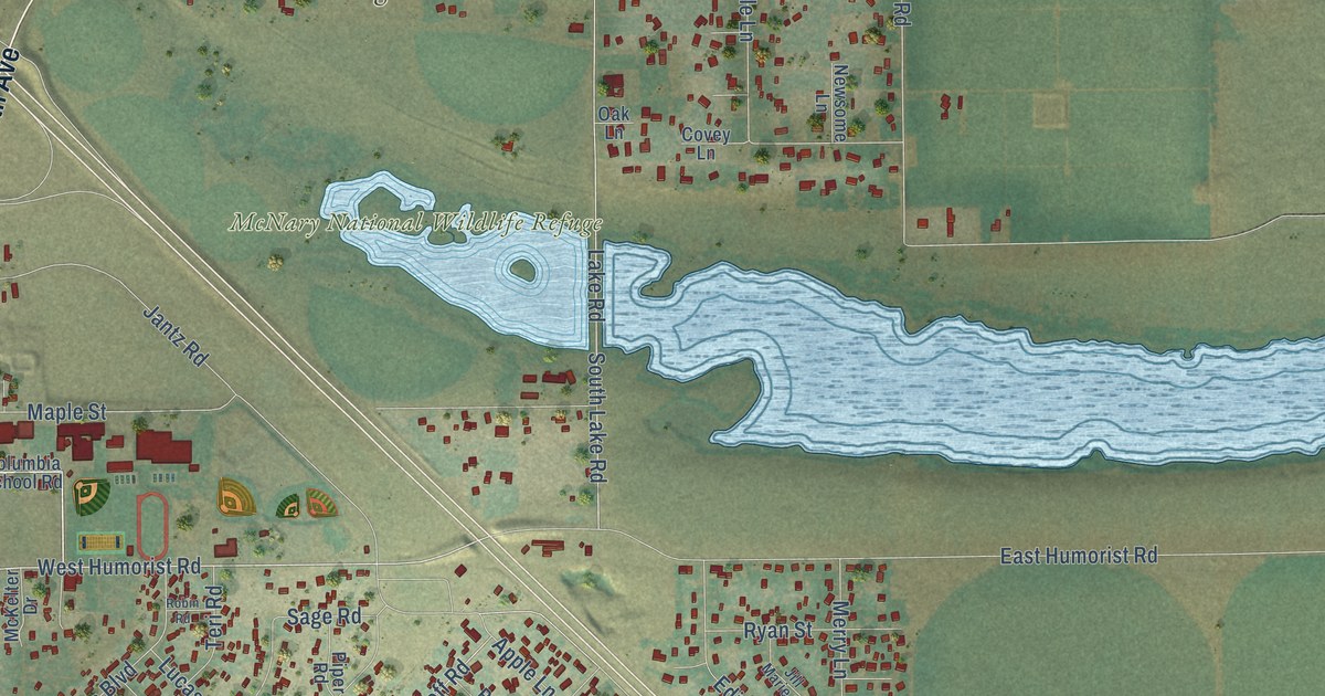
A detailed map of Burbank, Washington, showing every building in its true location, the roads by name, and shaded topographical relief.
Read More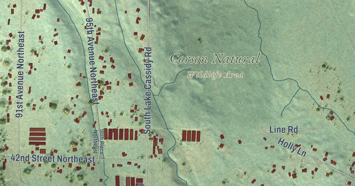
A detailed map of Lake Cassidy, Washington, showing every building in its true location, the roads by name, and shaded topographical relief.
Read More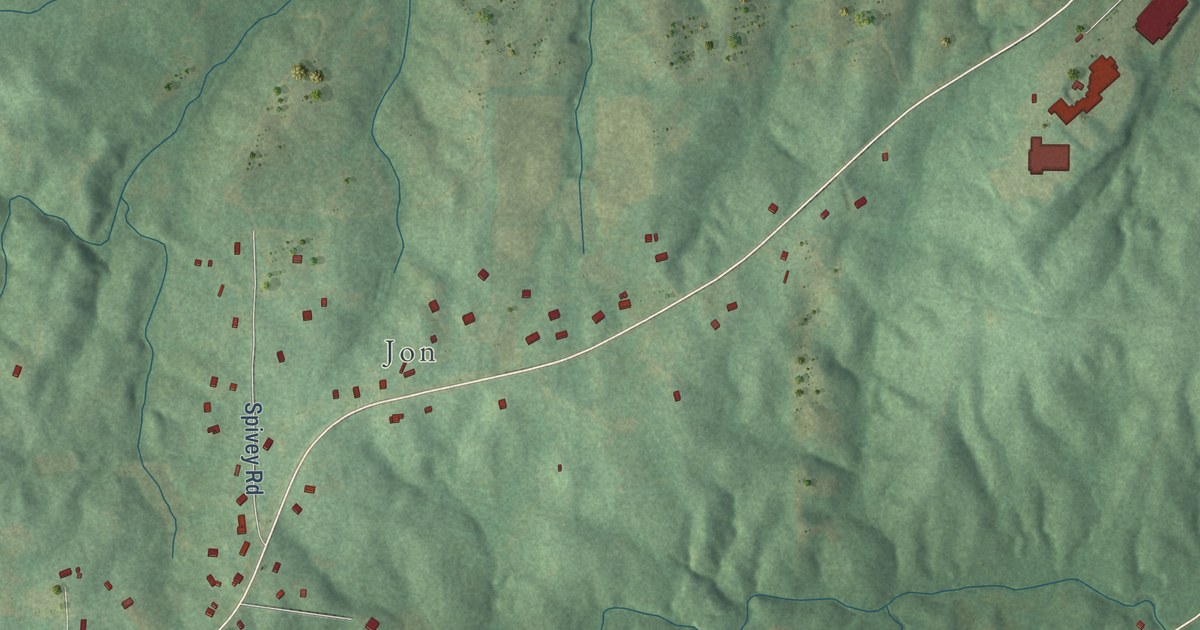
A detailed map of Ray, Alabama, showing every building in its true location, the roads by name, and shaded topographical relief.
Read More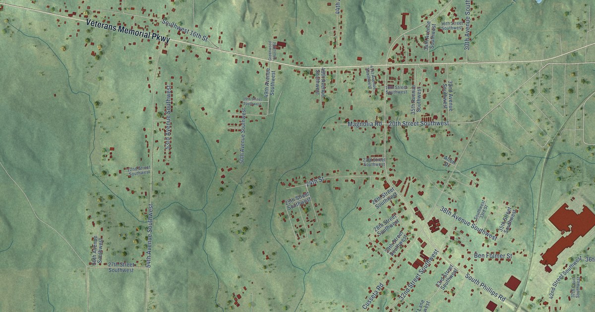
A detailed map of Huguley, Alabama, showing every building in its true location, the roads by name, and shaded topographical relief.
Read More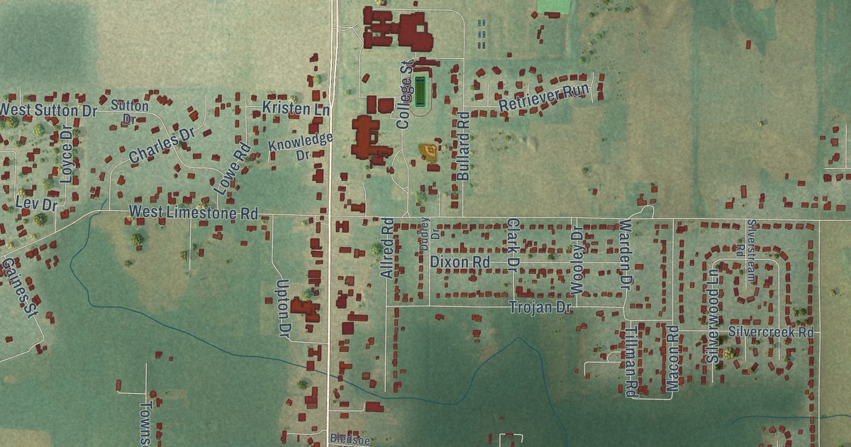
A detailed map of Hazel Green, Alabama, showing every building in its true location, the roads by name, and shaded topographical relief.
Read More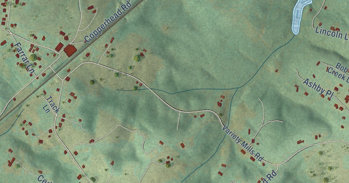
A detailed map of Arrington, Virginia, showing every building in its true location, the roads by name, and shaded topographical relief.
Read More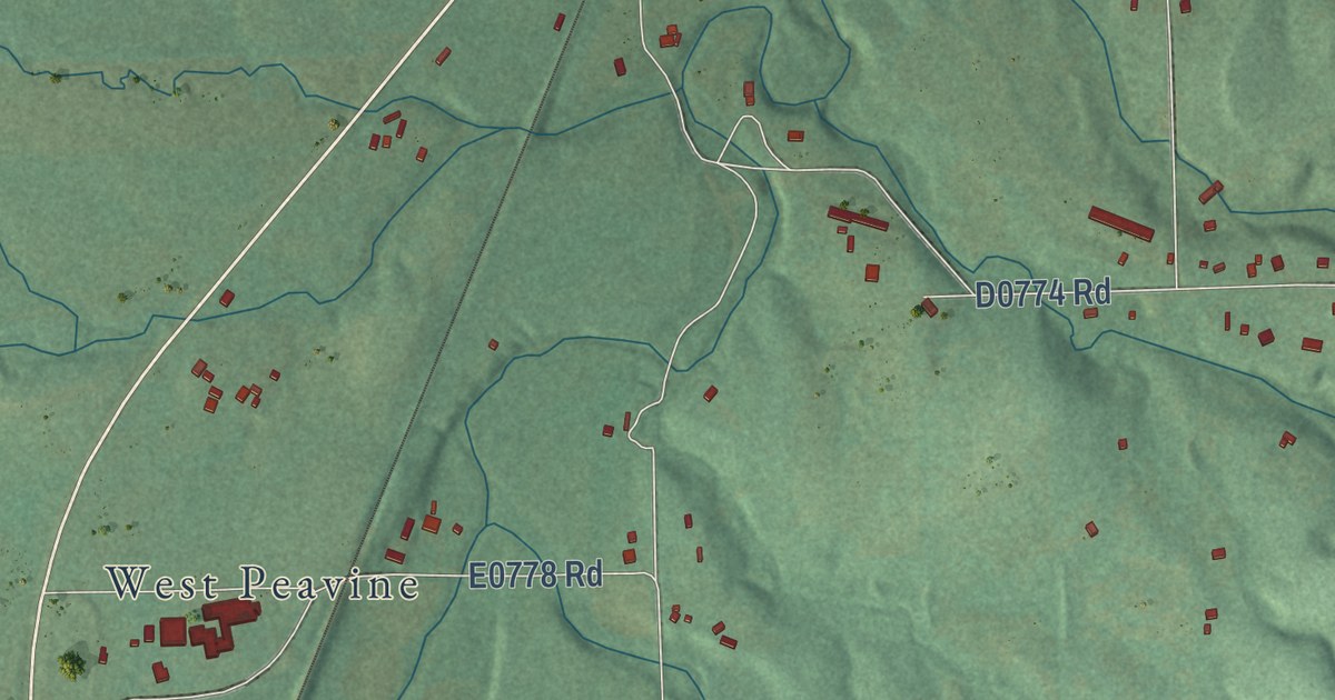
A detailed map of Peavine, Oklahoma, showing every building in its true location, the roads by name, and shaded topographical relief.
Read More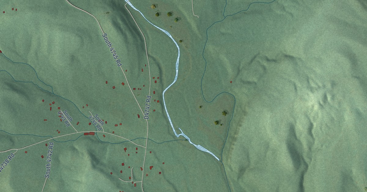
A detailed map of Nicut, Oklahoma, showing every building in its true location, the roads by name, and shaded topographical relief.
Read More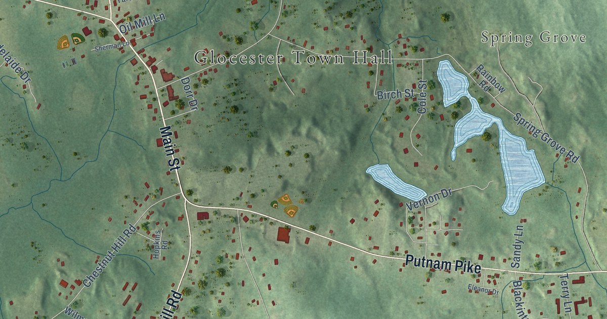
A detailed map of Chepachet, Rhode Island, showing every building in its true location, the roads by name, and shaded topographical relief.
Read More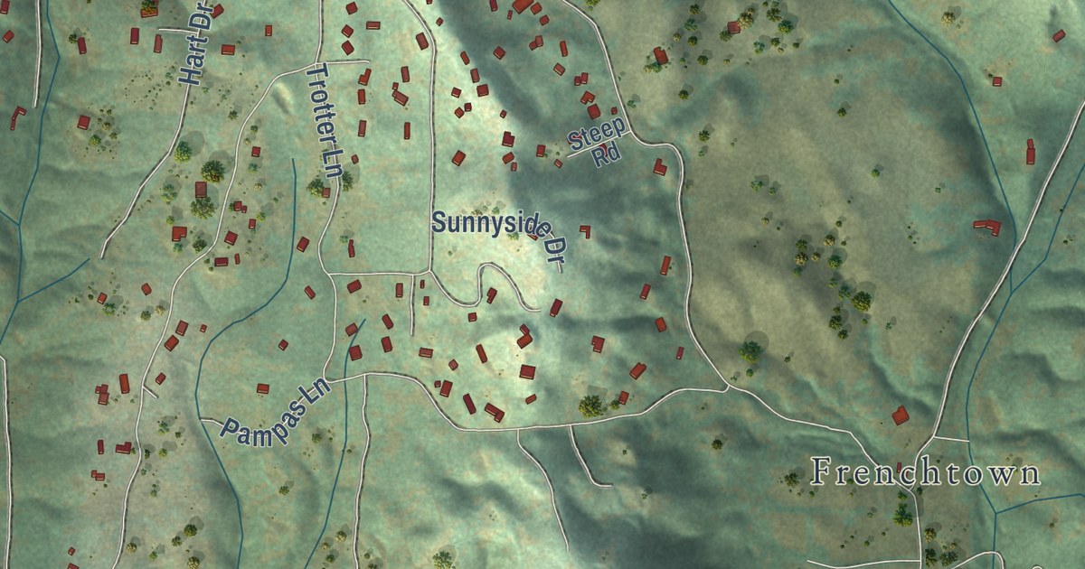
A detailed map of Shingle Springs, California, showing every building in its true location, the roads by name, and shaded topographical relief.
Read More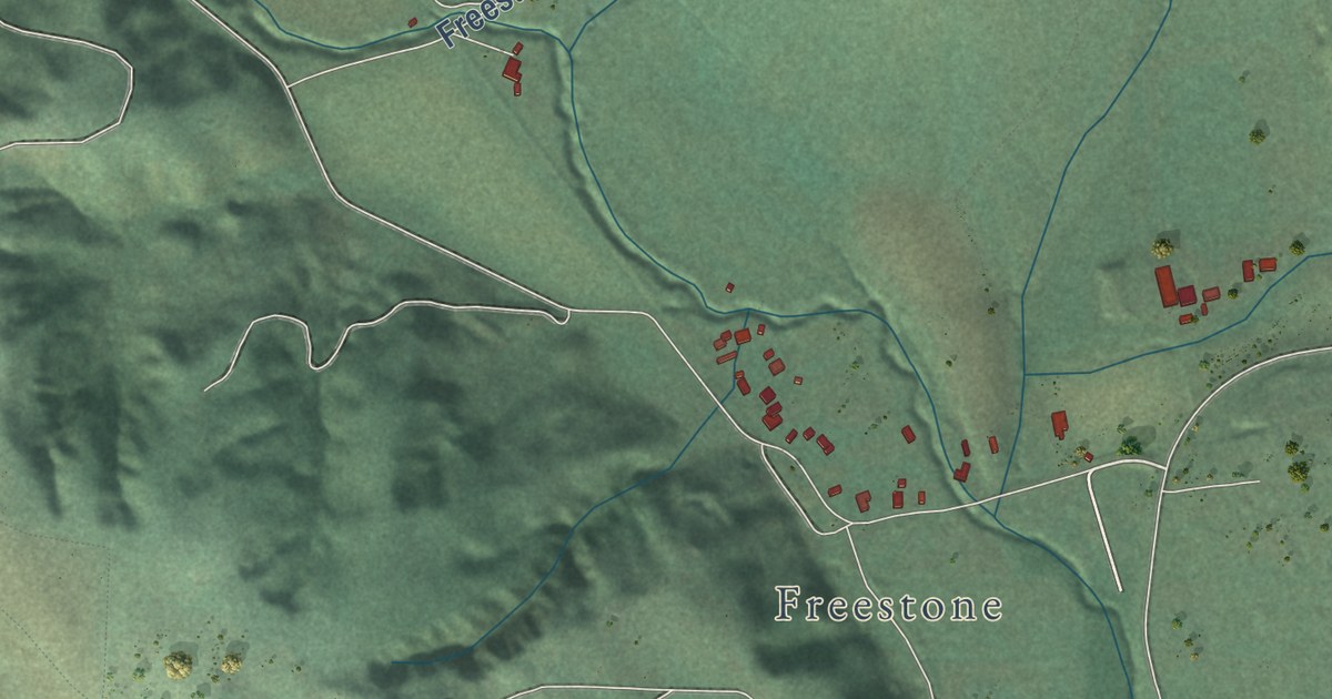
A detailed map of Occidental, California, showing every building in its true location, the roads by name, and shaded topographical relief.
Read More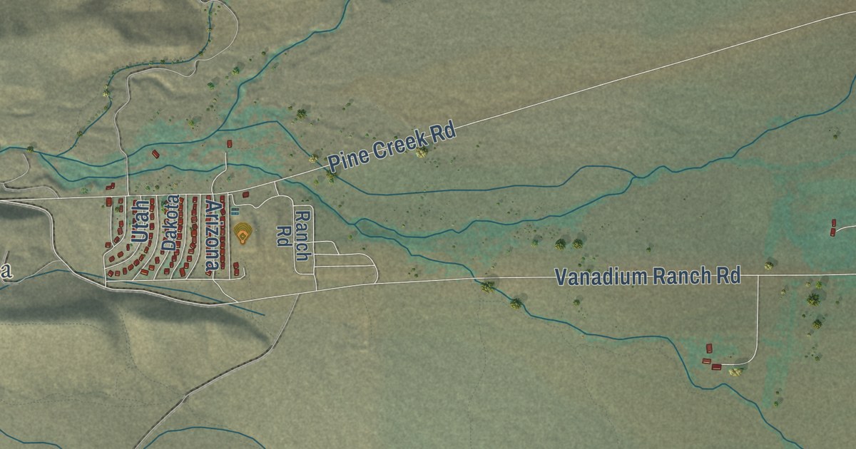
A detailed map of Round Valley, California, showing every building in its true location, the roads by name, and shaded topographical relief.
Read More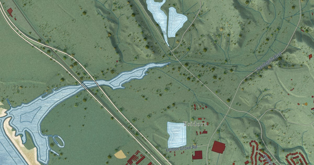
A detailed map of Camp Pendleton South, California, showing every building in its true location, the roads by name, and shaded topographical relief.
Read More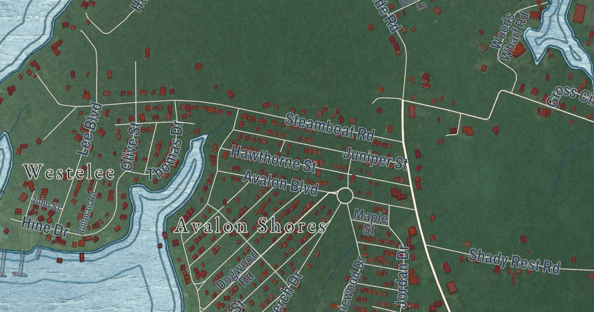
A detailed map of Shady Side, Maryland, showing every building in its true location, the roads by name, and shaded topographical relief.
Read More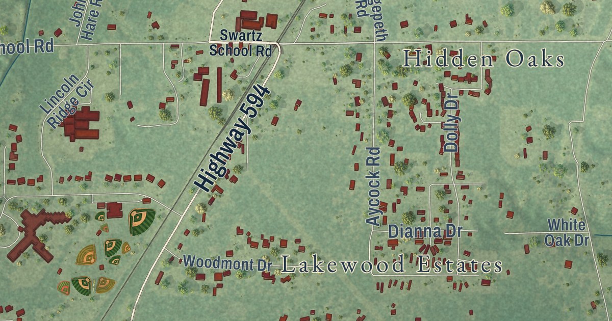
A detailed map of Swartz, Louisiana, showing every building in its true location, the roads by name, and shaded topographical relief.
Read More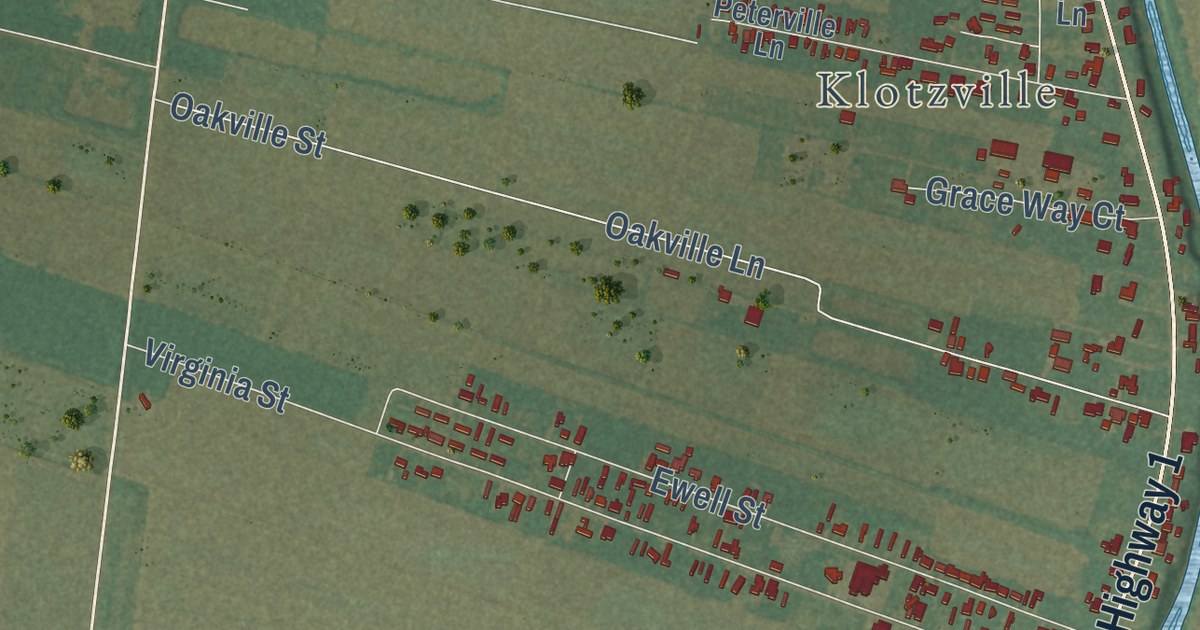
A detailed map of Belle Rose, Louisiana, showing every building in its true location, the roads by name, and shaded topographical relief.
Read More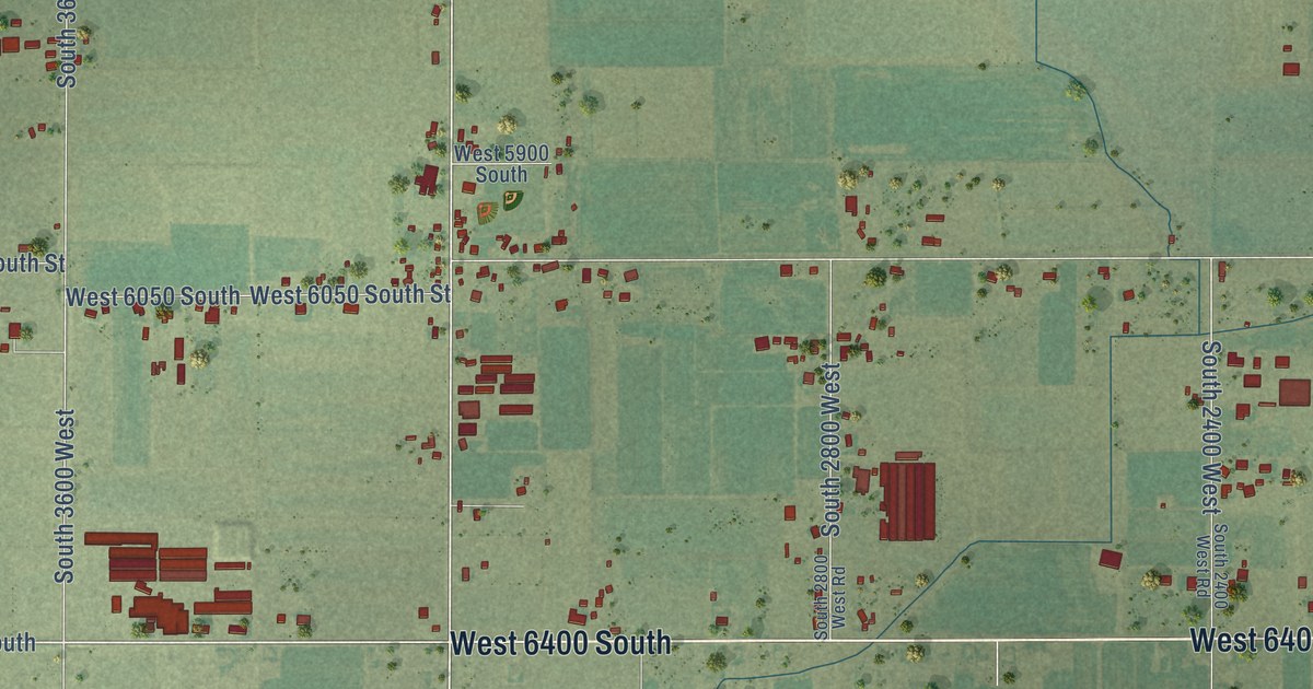
A detailed map of Lake Shore, Utah, showing every building in its true location, the roads by name, and shaded topographical relief.
Read More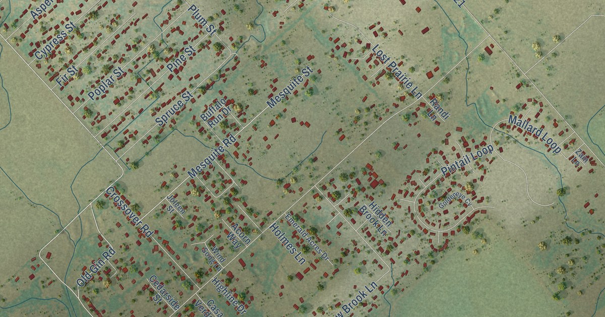
A detailed map of Redwood, Texas, showing every building in its true location, the roads by name, and shaded topographical relief.
Read More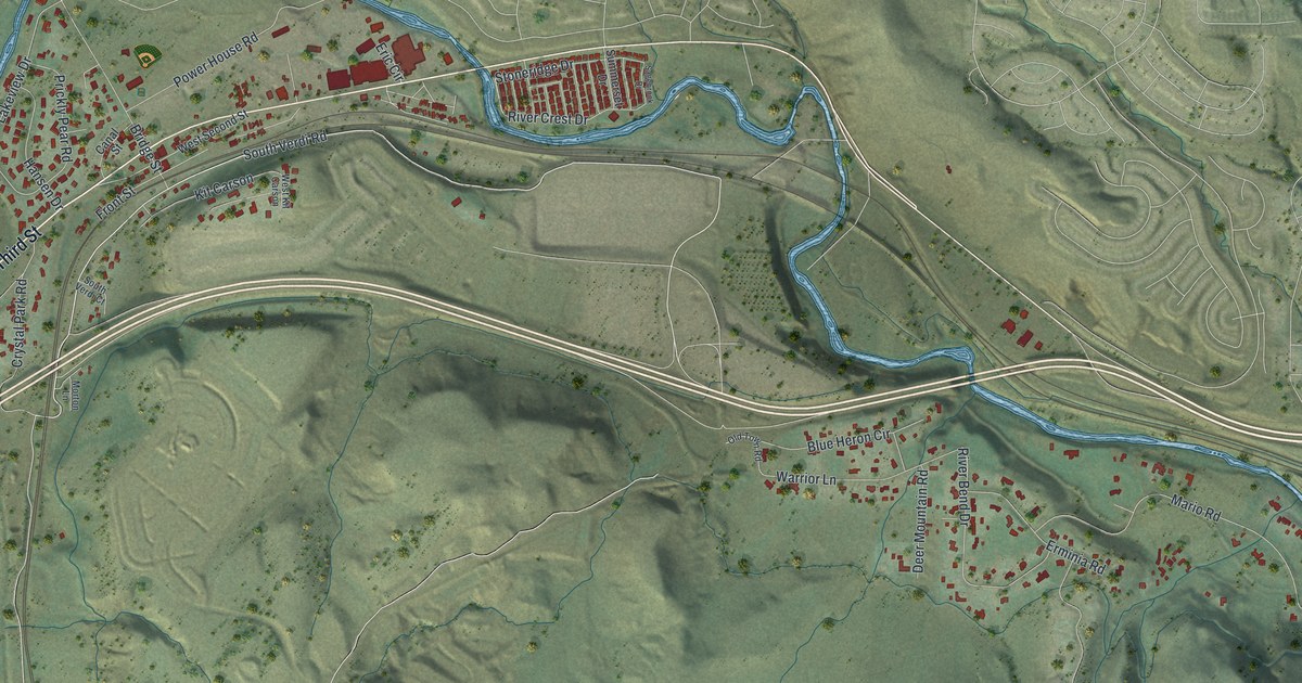
A detailed map of Verdi, Nevada, showing every building in its true location, the roads by name, and shaded topographical relief.
Read More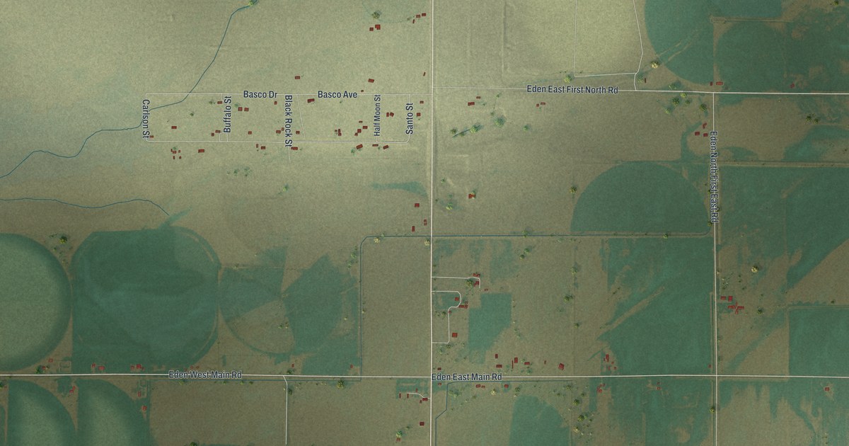
A detailed map of Eden, Wyoming, showing every building in its true location, the roads by name, and shaded topographical relief.
Read More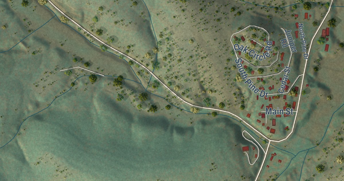
A detailed map of Mayhill, New Mexico, showing every building in its true location, the roads by name, and shaded topographical relief.
Read More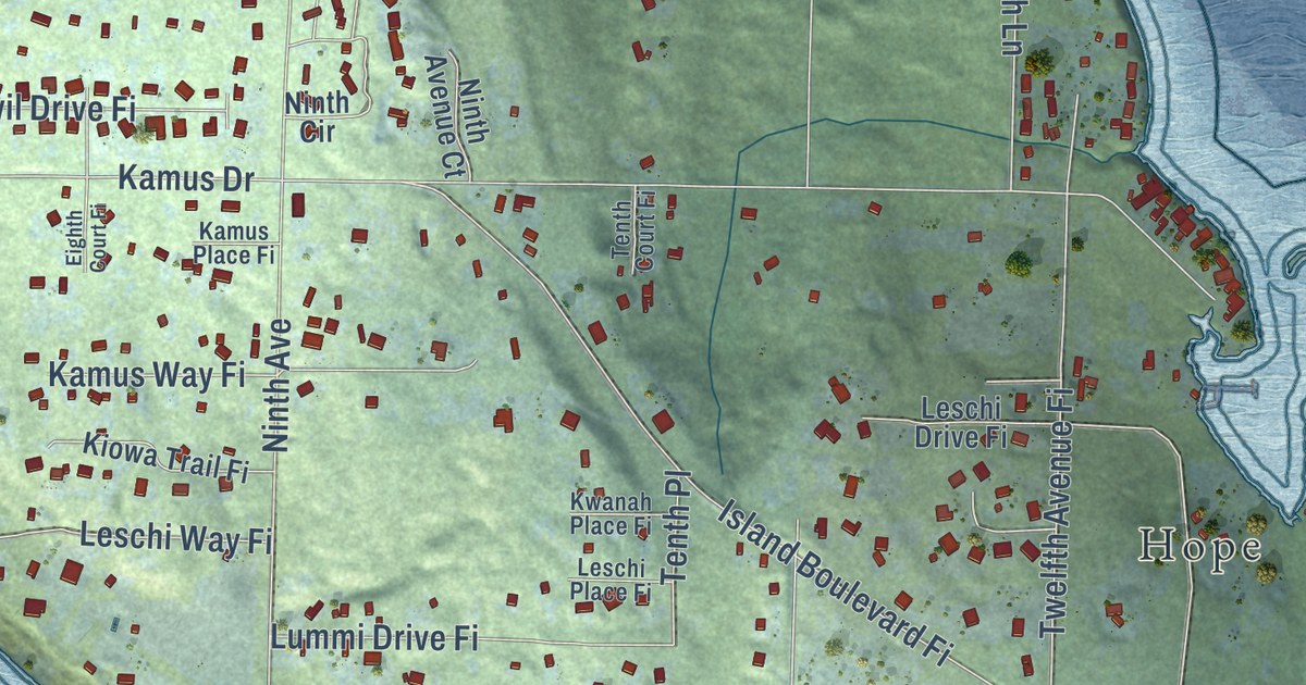
A detailed map of Fox Island, Washington, showing every building in its true location, the roads by name, and shaded topographical relief.
Read More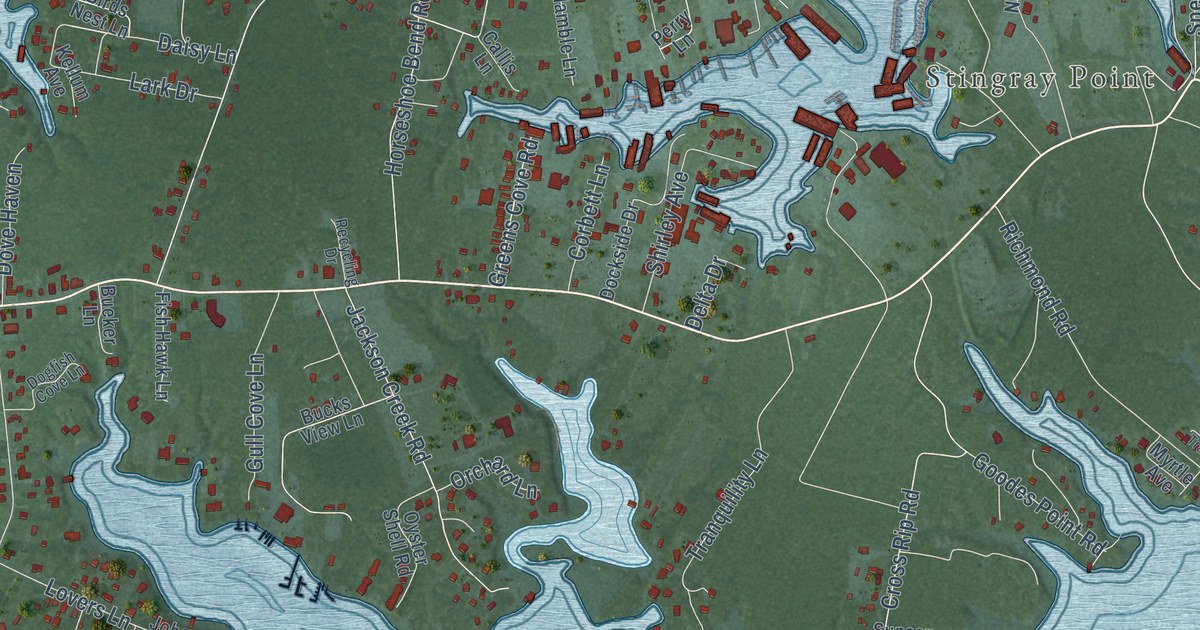
A detailed map of Deltaville, Virginia, showing every building in its true location, the roads by name, and shaded topographical relief.
Read More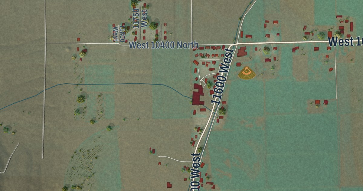
A detailed map of Thatcher, Utah, showing every building in its true location, the roads by name, and shaded topographical relief.
Read More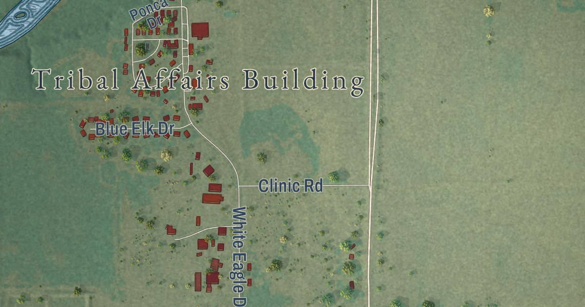
A detailed map of White Eagle, Oklahoma, showing every building in its true location, the roads by name, and shaded topographical relief.
Read More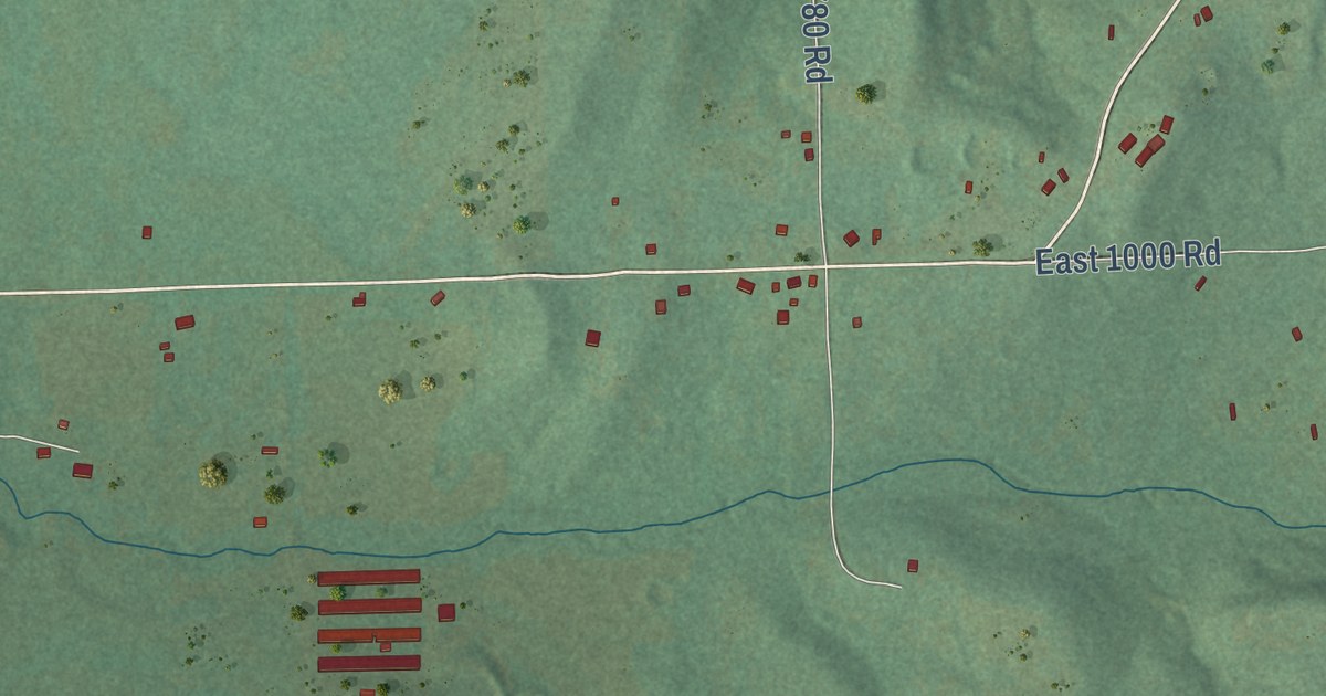
A detailed map of Short, Oklahoma, showing every building in its true location, the roads by name, and shaded topographical relief.
Read More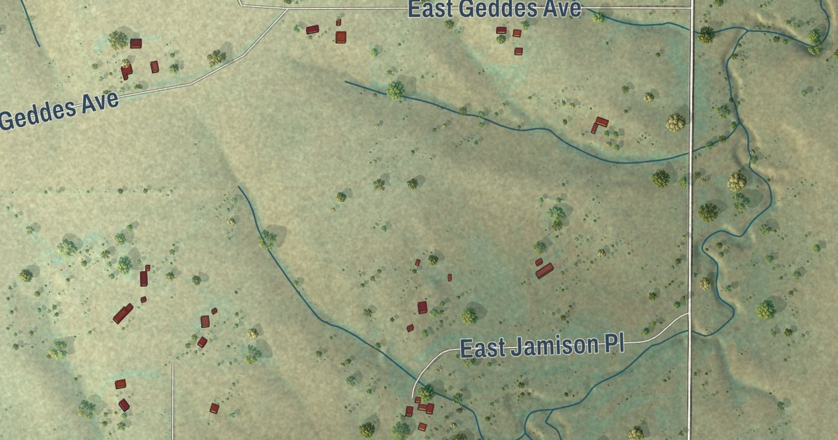
A detailed map of Brick Center, Colorado, showing every building in its true location, the roads by name, and shaded topographical relief.
Read More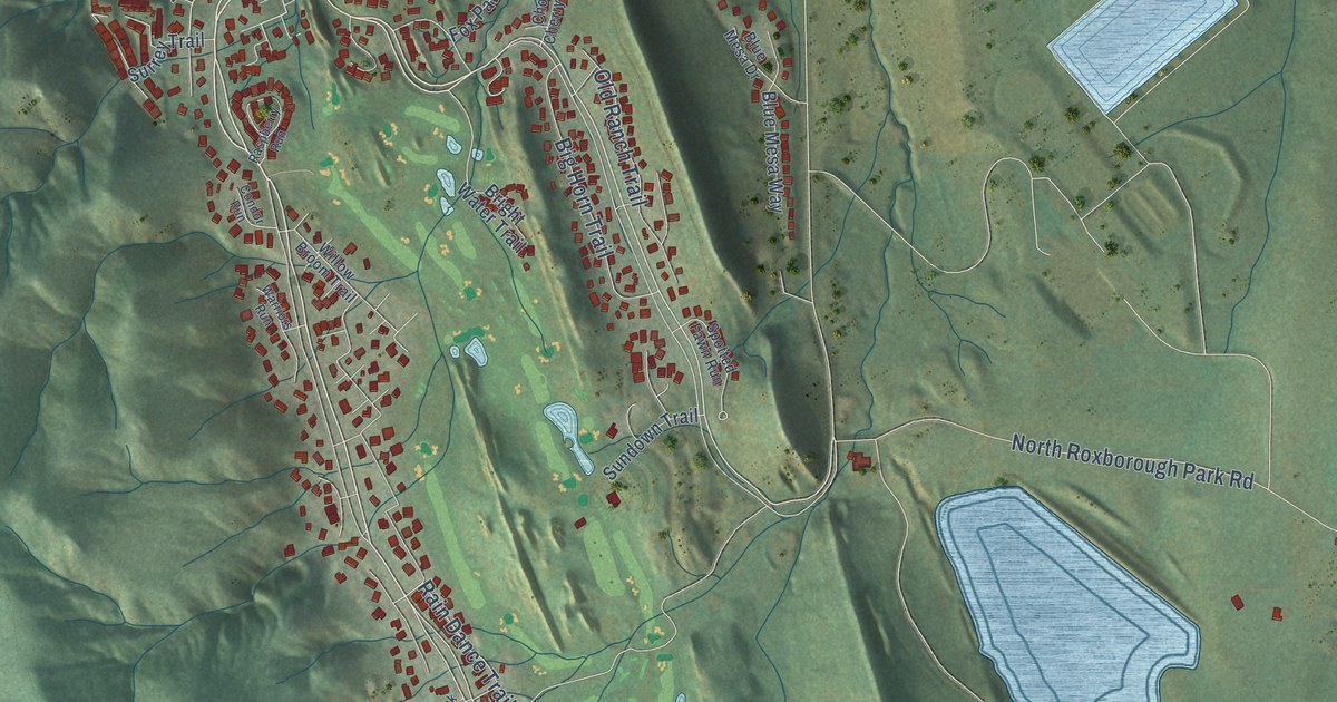
A detailed map of Roxborough Park, Colorado, showing every building in its true location, the roads by name, and shaded topographical relief.
Read More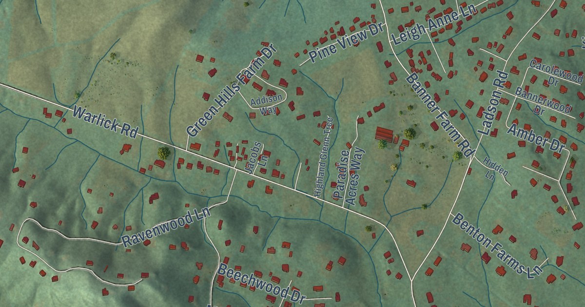
A detailed map of Horse Shoe, North Carolina, showing every building in its true location, the roads by name, and shaded topographical relief.
Read More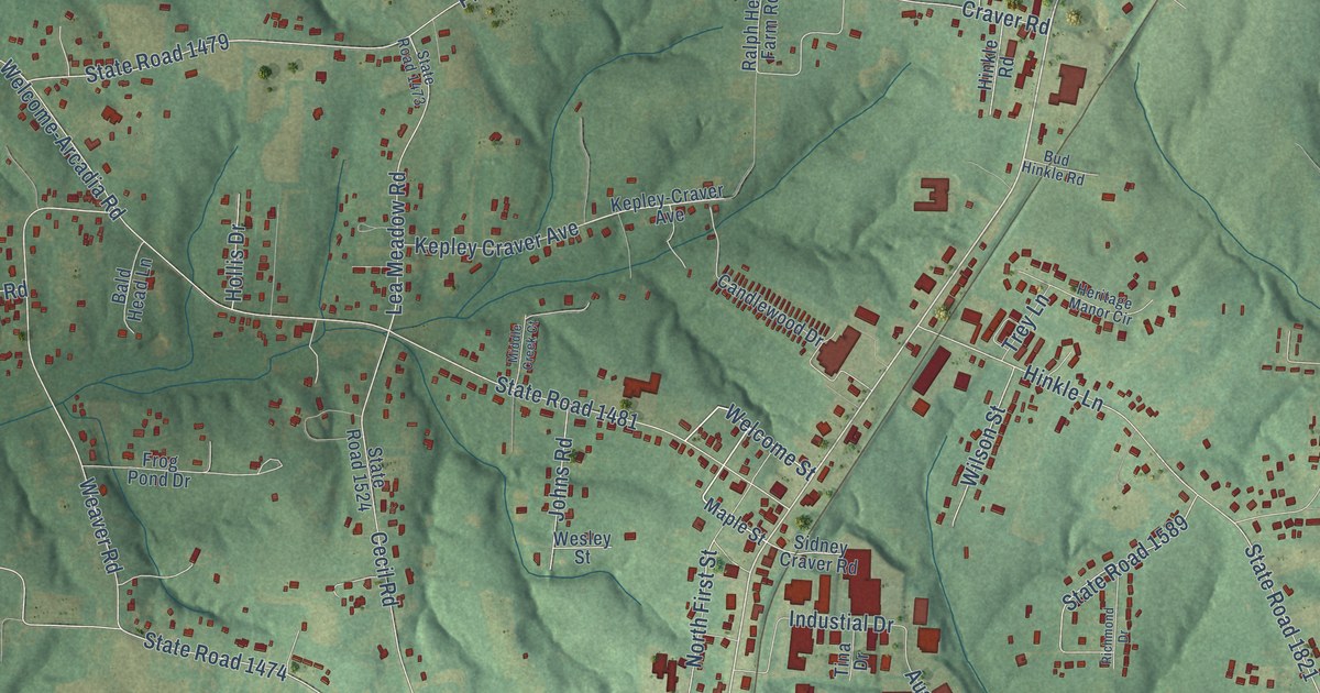
A detailed map of Welcome, North Carolina, showing every building in its true location, the roads by name, and shaded topographical relief.
Read More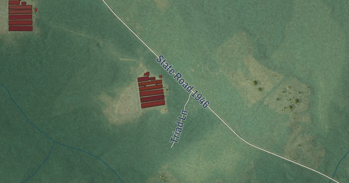
A detailed map of Delway, North Carolina, showing every building in its true location, the roads by name, and shaded topographical relief.
Read More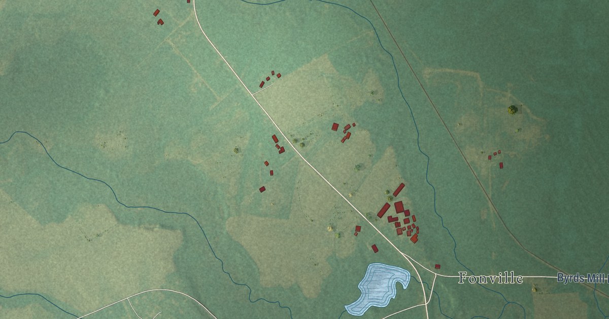
A detailed map of Bunnlevel, North Carolina, showing every building in its true location, the roads by name, and shaded topographical relief.
Read More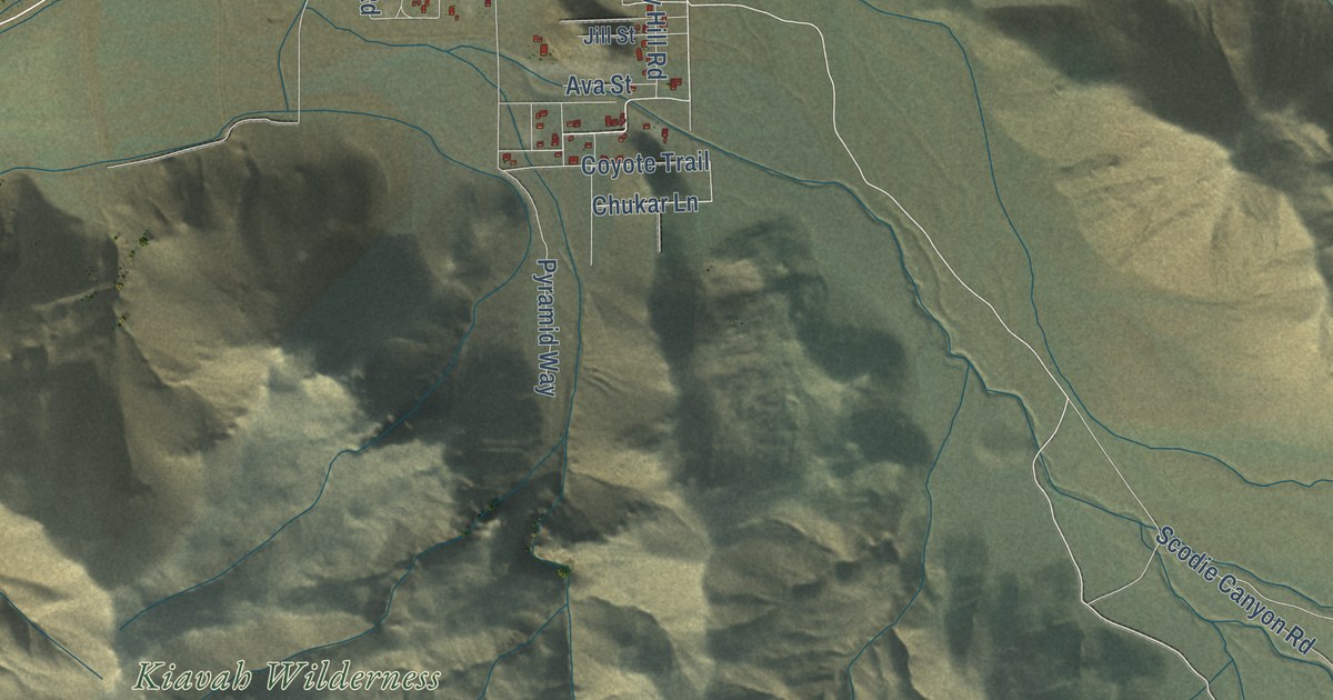
A detailed map of Onyx, California, showing every building in its true location, the roads by name, and shaded topographical relief.
Read More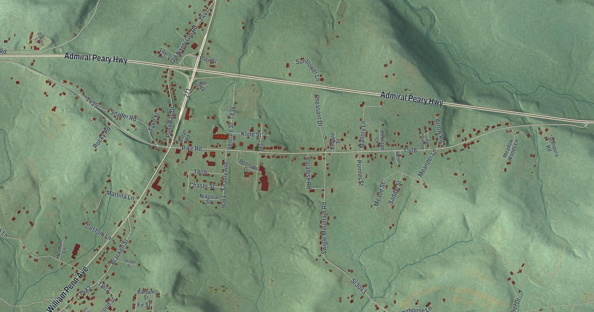
A detailed map of Mundys Corner, Pennsylvania, showing every building in its true location, the roads by name, and shaded topographical relief.
Read More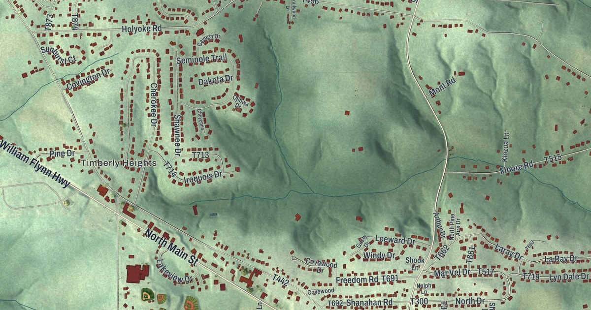
A detailed map of Shanor-Northvue, Pennsylvania, showing every building in its true location, the roads by name, and shaded topographical relief.
Read More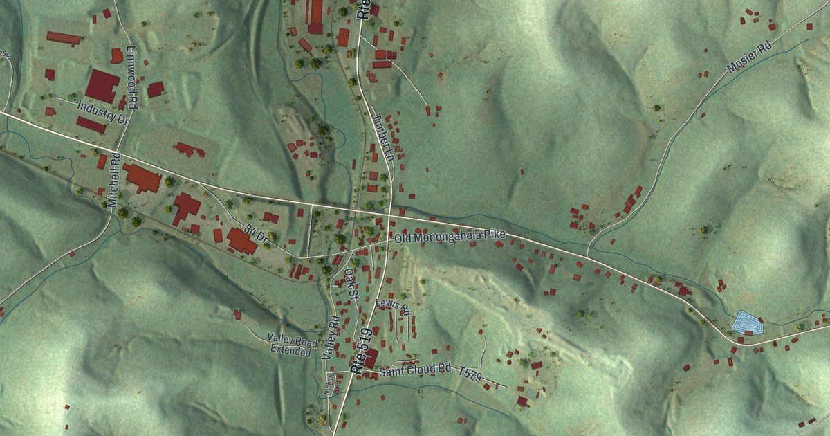
A detailed map of Eighty Four, Pennsylvania, showing every building in its true location, the roads by name, and shaded topographical relief.
Read More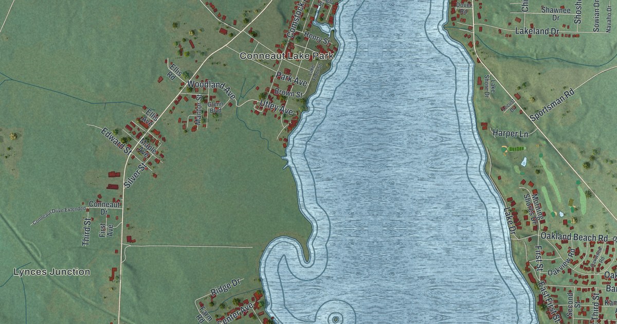
A detailed map of Conneaut Lakeshore, Pennsylvania, showing every building in its true location, the roads by name, and shaded topographical relief.
Read More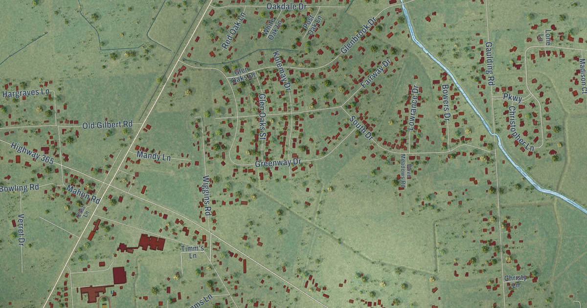
A detailed map of Fannett, Texas, showing every building in its true location, the roads by name, and shaded topographical relief.
Read More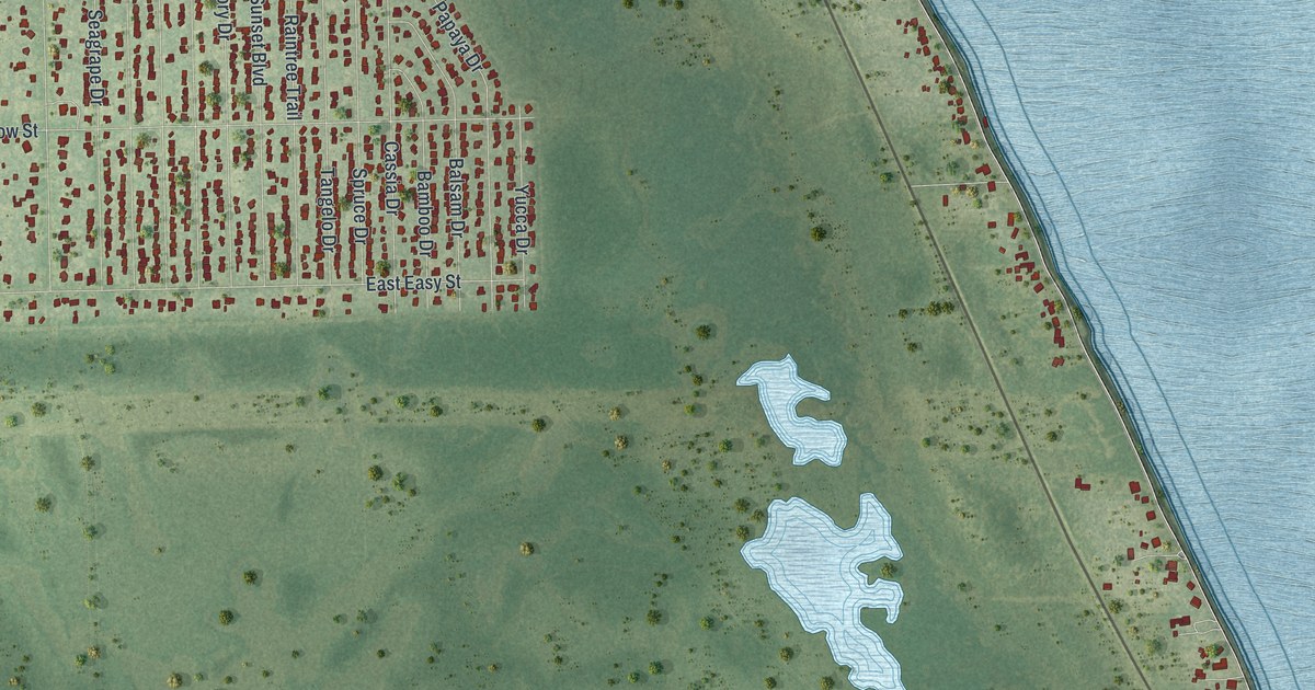
A detailed map of Indian River Estates, Florida, showing every building in its true location, the roads by name, and shaded topographical relief.
Read More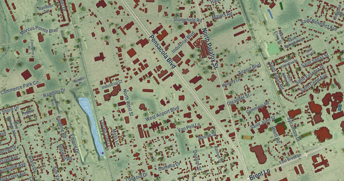
A detailed map of Brent, Florida, showing every building in its true location, the roads by name, and shaded topographical relief.
Read More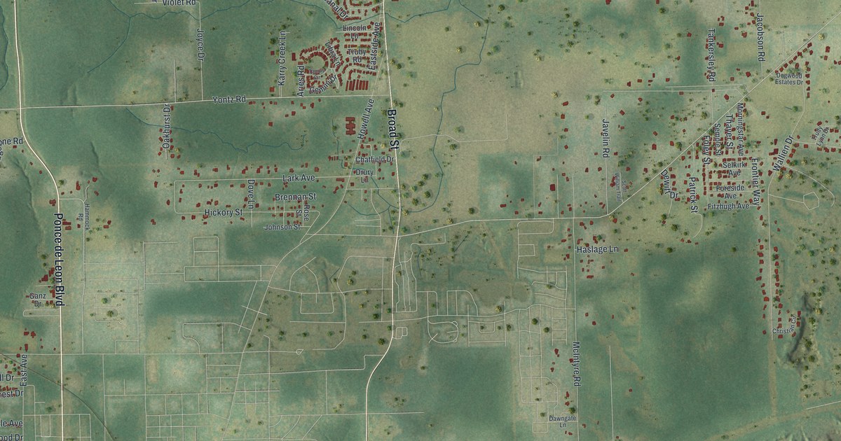
A detailed map of North Brooksville, Florida, showing every building in its true location, the roads by name, and shaded topographical relief.
Read More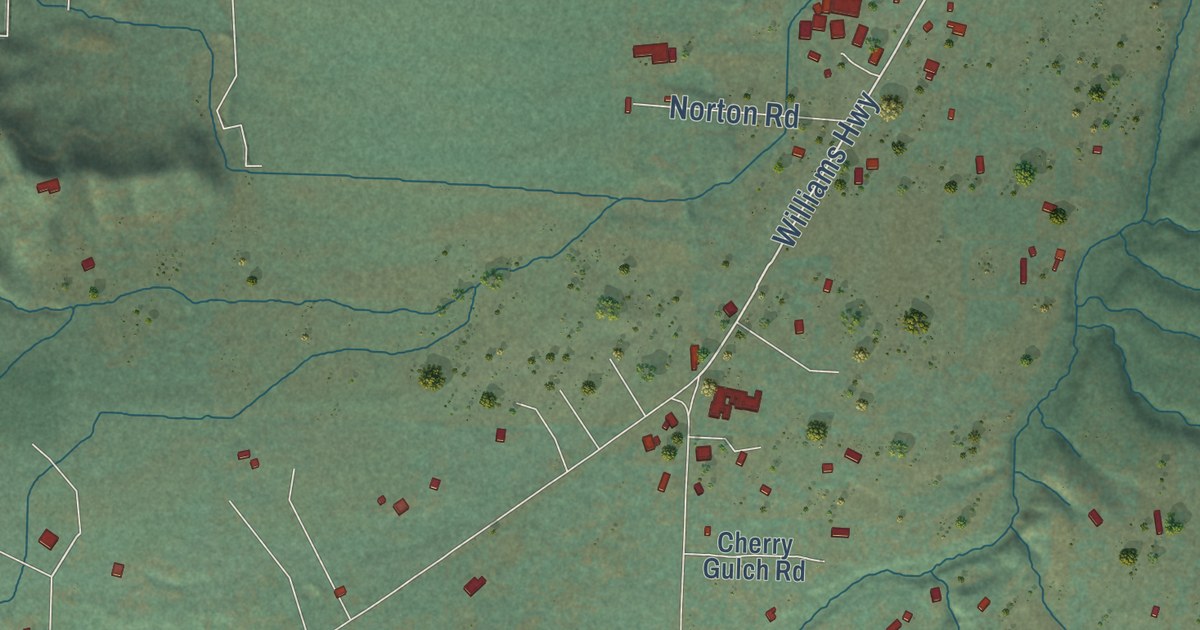
A detailed map of Williams, Oregon, showing every building in its true location, the roads by name, and shaded topographical relief.
Read More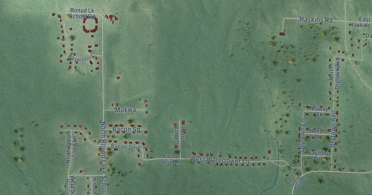
A detailed map of Little Round Lake, Wisconsin, showing every building in its true location, the roads by name, and shaded topographical relief.
Read More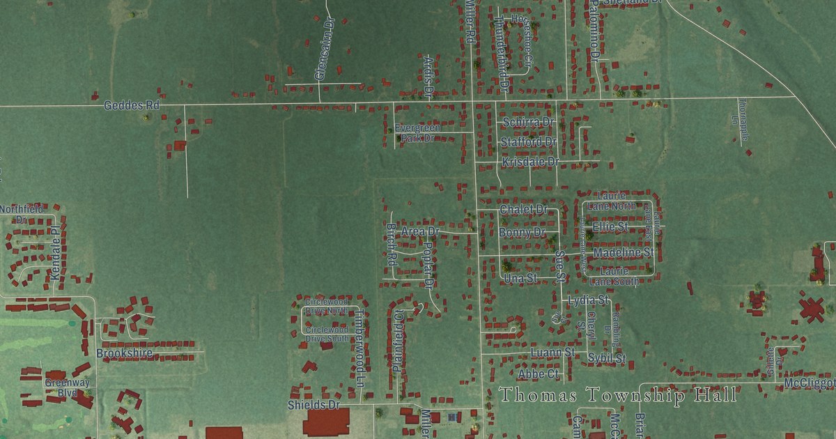
A detailed map of Shields, Michigan, showing every building in its true location, the roads by name, and shaded topographical relief.
Read More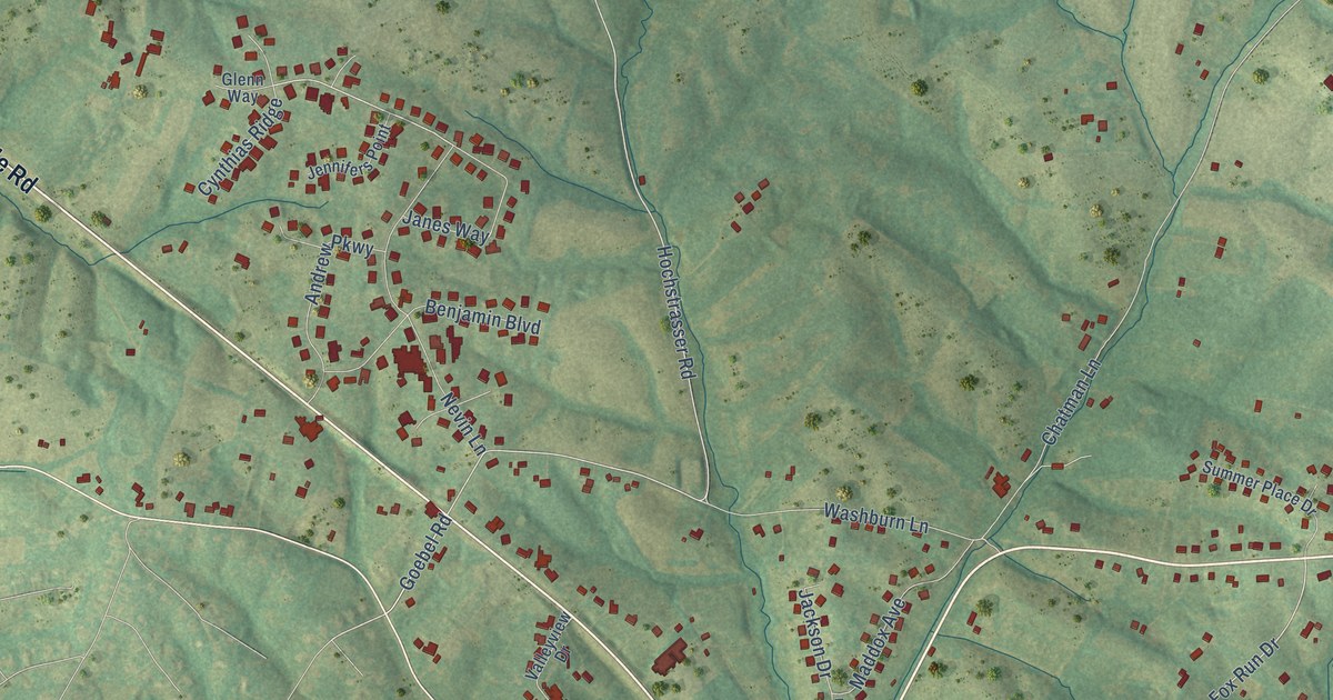
A detailed map of Elk Creek, Kentucky, showing every building in its true location, the roads by name, and shaded topographical relief.
Read More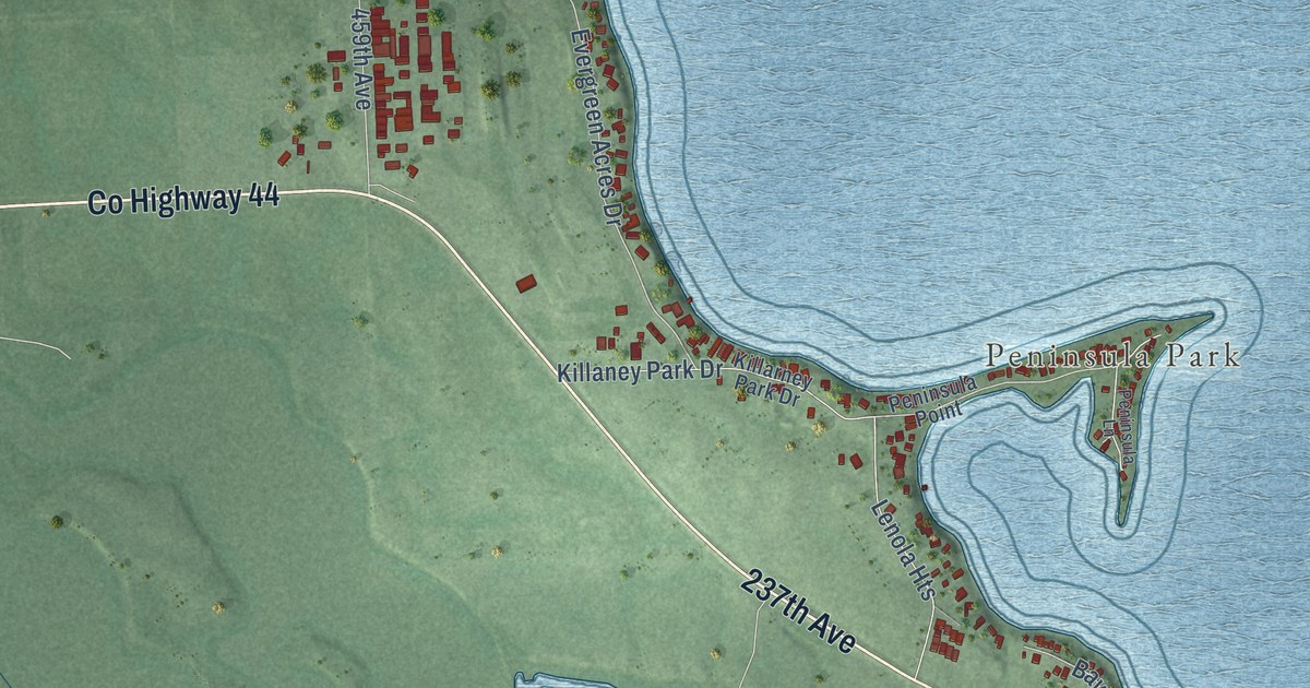
A detailed map of Lake Madison, South Dakota, showing every building in its true location, the roads by name, and shaded topographical relief.
Read More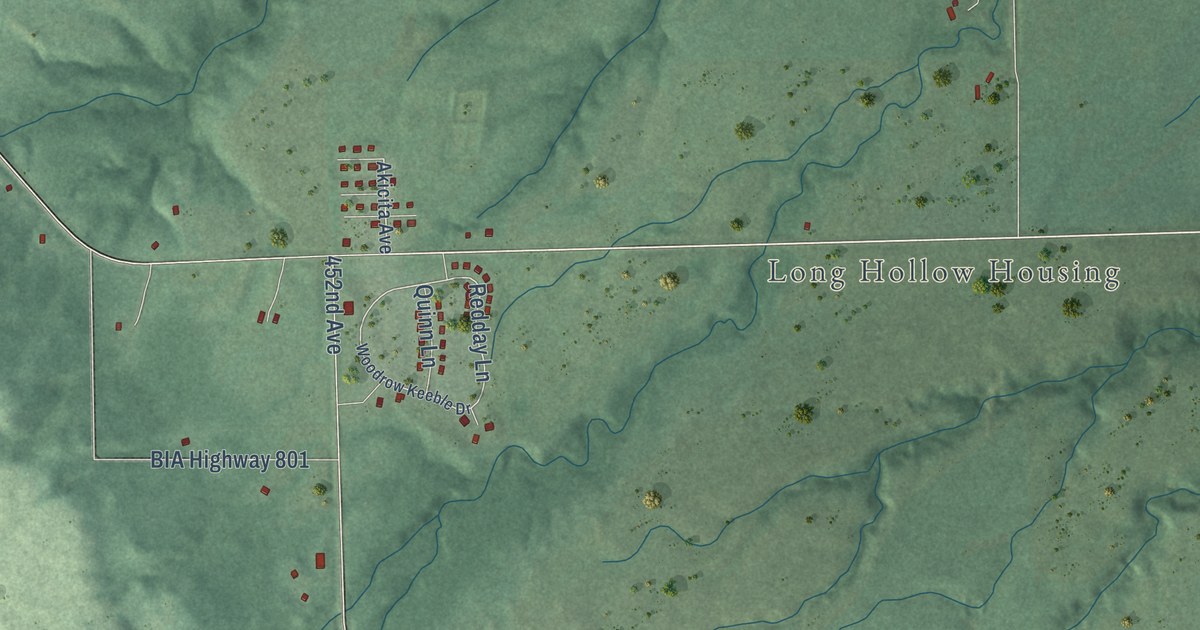
A detailed map of Long Hollow, South Dakota, showing every building in its true location, the roads by name, and shaded topographical relief.
Read More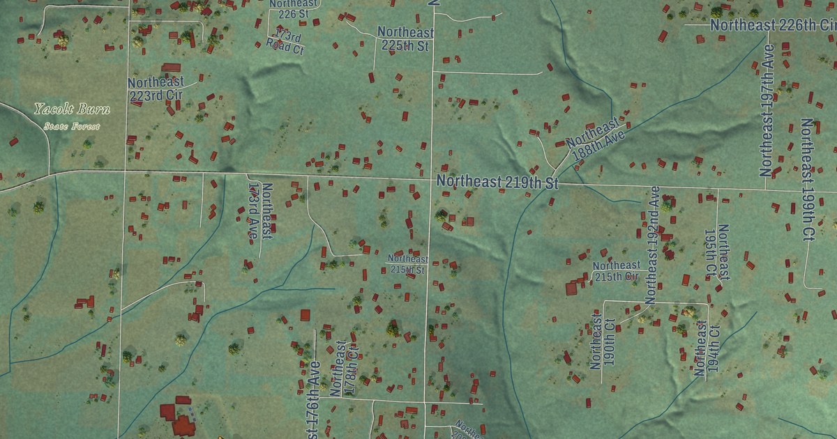
A detailed map of Venersborg, Washington, showing every building in its true location, the roads by name, and shaded topographical relief.
Read More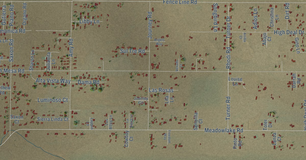
A detailed map of Meadow Lake, New Mexico, showing every building in its true location, the roads by name, and shaded topographical relief.
Read More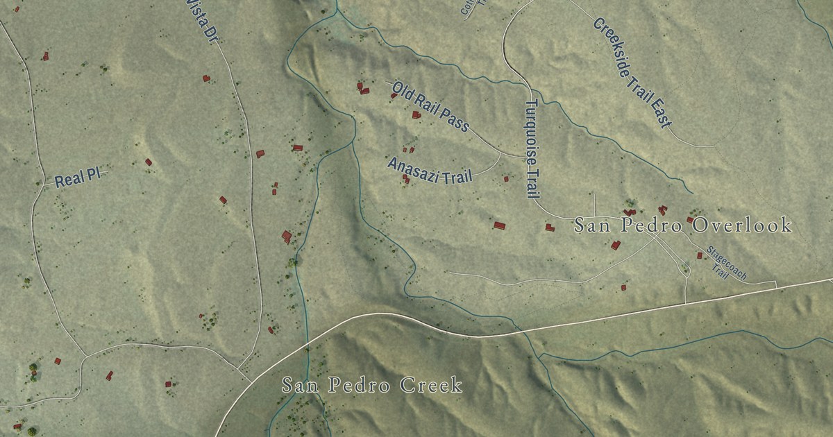
A detailed map of La Madera, New Mexico, showing every building in its true location, the roads by name, and shaded topographical relief.
Read More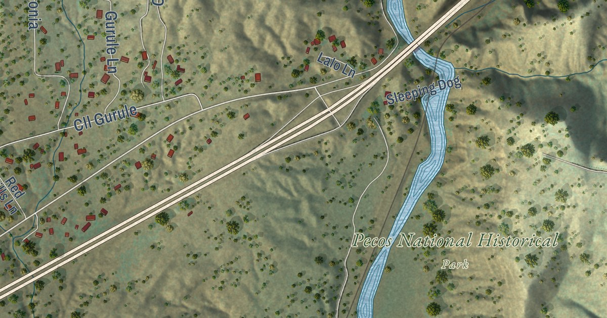
A detailed map of Cañoncito, New Mexico, showing every building in its true location, the roads by name, and shaded topographical relief.
Read More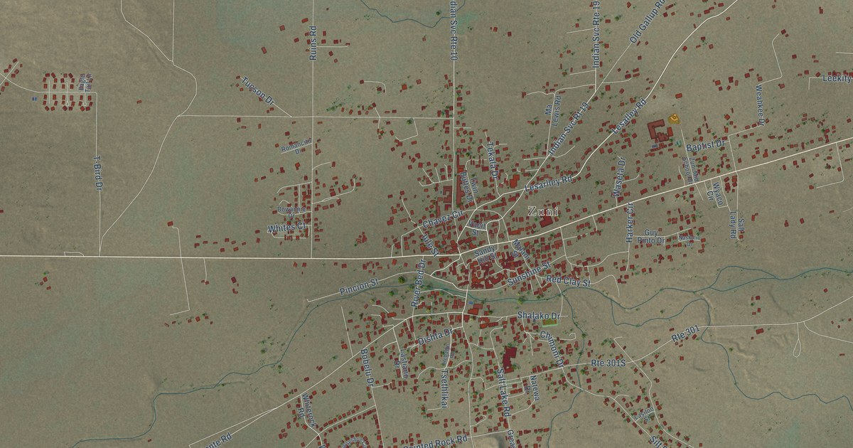
A detailed map of Zuni Pueblo, New Mexico, showing every building in its true location, the roads by name, and shaded topographical relief.
Read More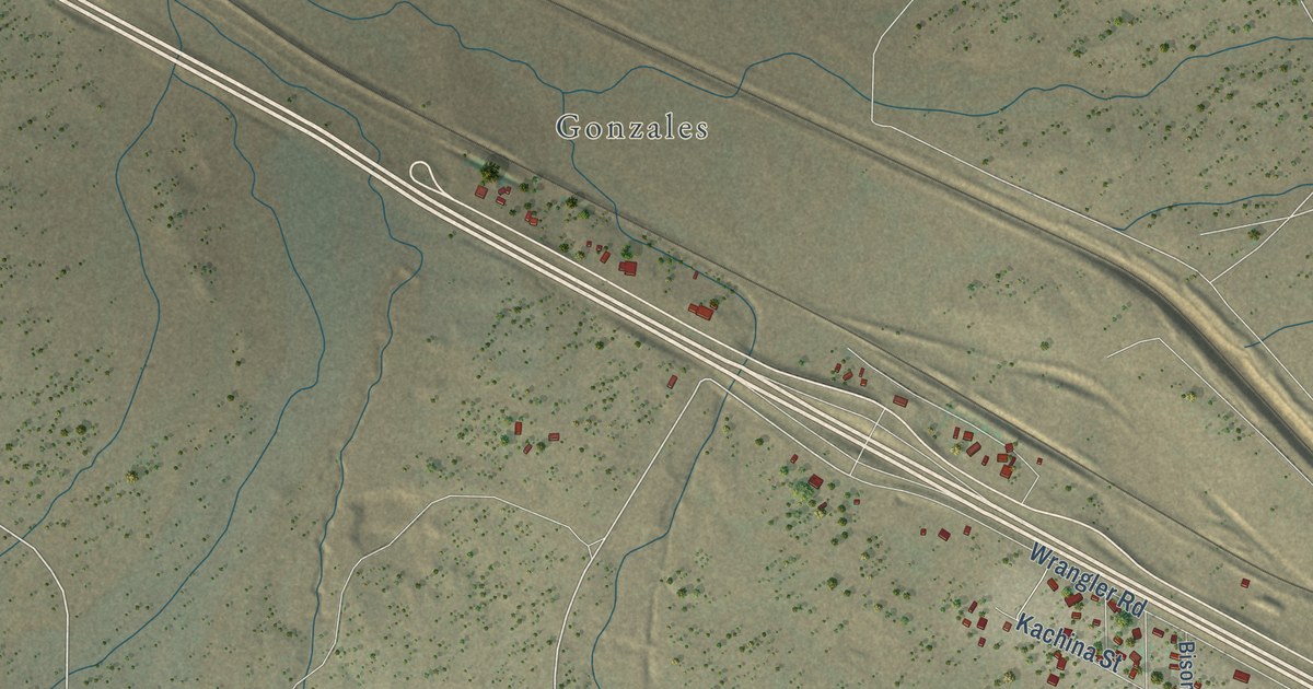
A detailed map of Continental Divide, New Mexico, showing every building in its true location, the roads by name, and shaded topographical relief.
Read More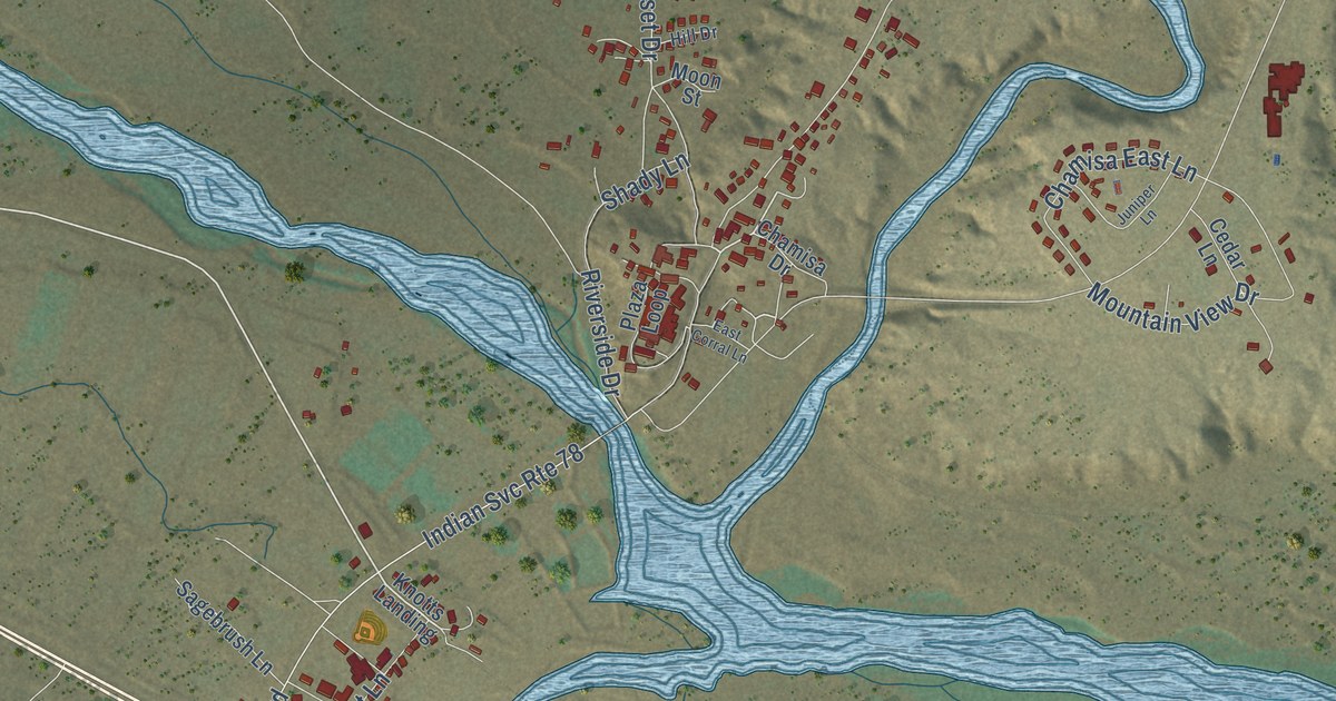
A detailed map of Zia Pueblo, New Mexico, showing every building in its true location, the roads by name, and shaded topographical relief.
Read More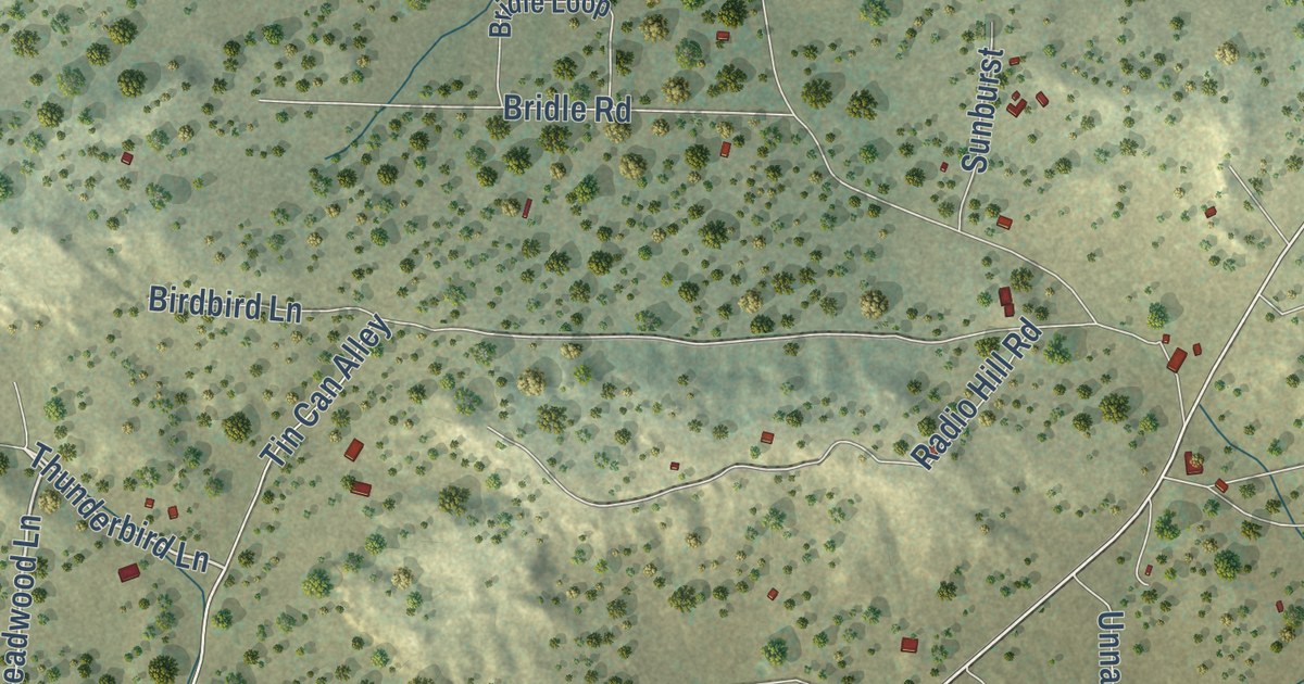
A detailed map of Candy Kitchen, New Mexico, showing every building in its true location, the roads by name, and shaded topographical relief.
Read More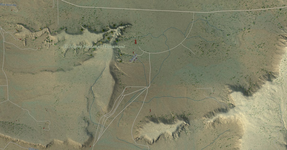
A detailed map of El Morro Valley, New Mexico, showing every building in its true location, the roads by name, and shaded topographical relief.
Read More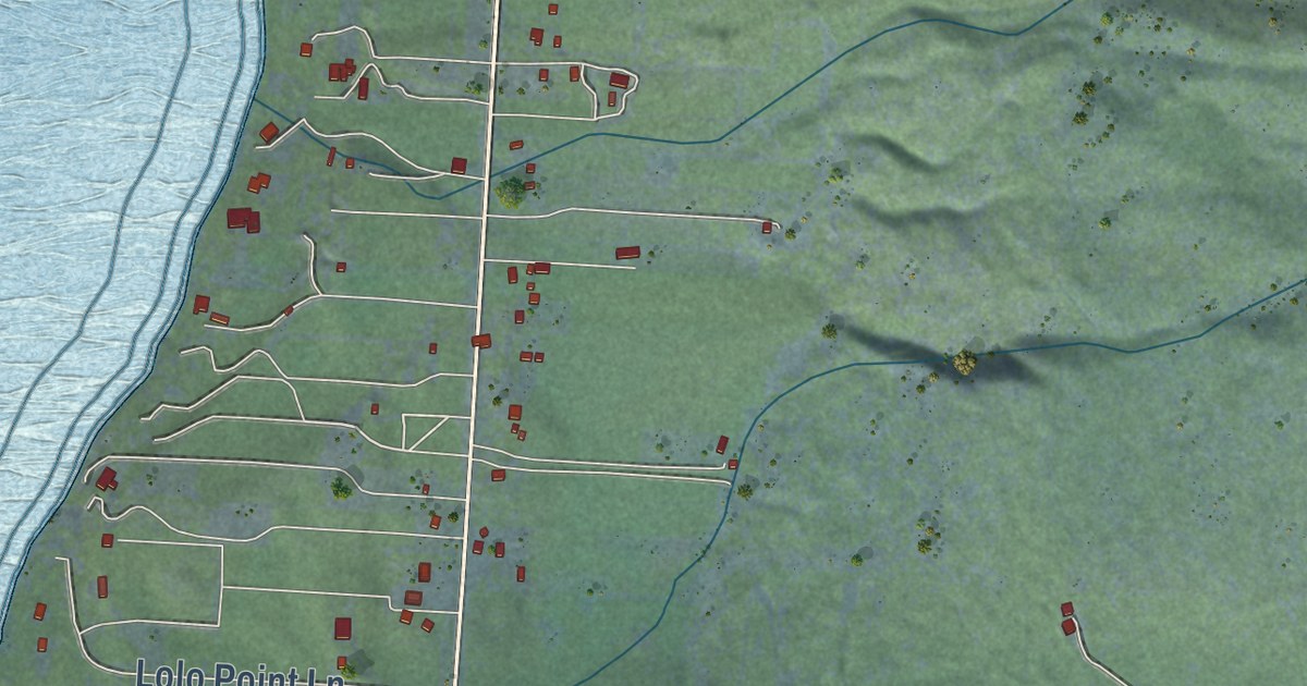
A detailed map of Bear Dance, Montana, showing every building in its true location, the roads by name, and shaded topographical relief.
Read More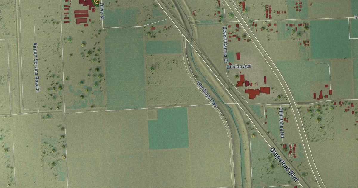
A detailed map of Thermal, California, showing every building in its true location, the roads by name, and shaded topographical relief.
Read More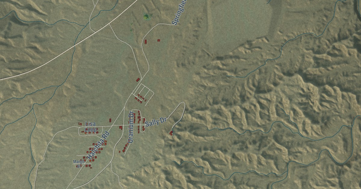
A detailed map of Halchita, Utah, showing every building in its true location, the roads by name, and shaded topographical relief.
Read More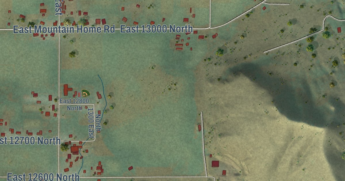
A detailed map of Cove, Utah, showing every building in its true location, the roads by name, and shaded topographical relief.
Read More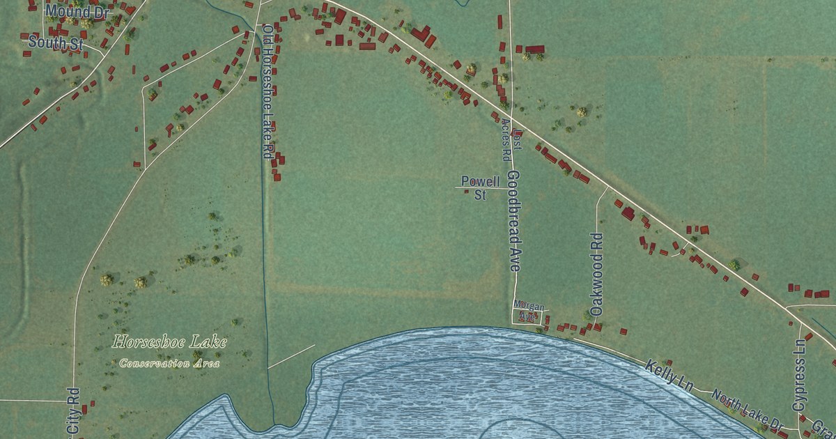
A detailed map of Olive Branch, Illinois, showing every building in its true location, the roads by name, and shaded topographical relief.
Read More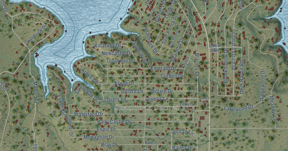
A detailed map of Lake Brownwood, Texas, showing every building in its true location, the roads by name, and shaded topographical relief.
Read More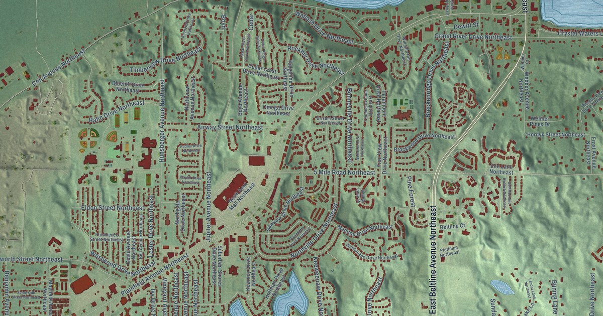
A detailed map of Northview, Michigan, showing every building in its true location, the roads by name, and shaded topographical relief.
Read More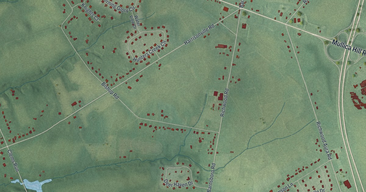
A detailed map of Richwood, New Jersey, showing every building in its true location, the roads by name, and shaded topographical relief.
Read More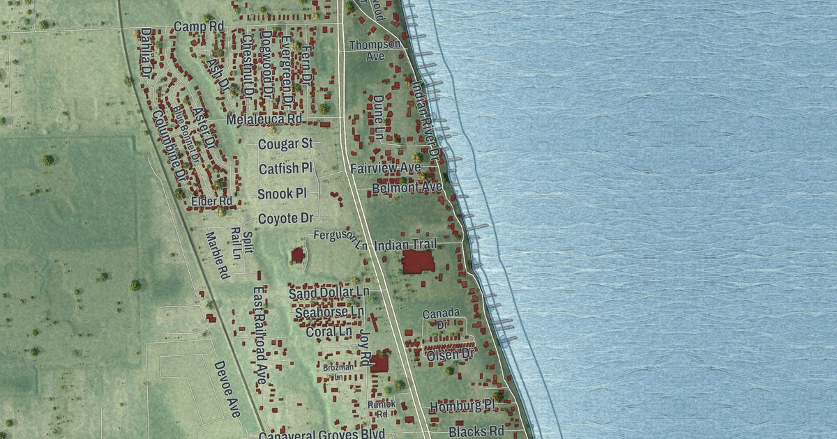
A detailed map of Sharpes, Florida, showing every building in its true location, the roads by name, and shaded topographical relief.
Read More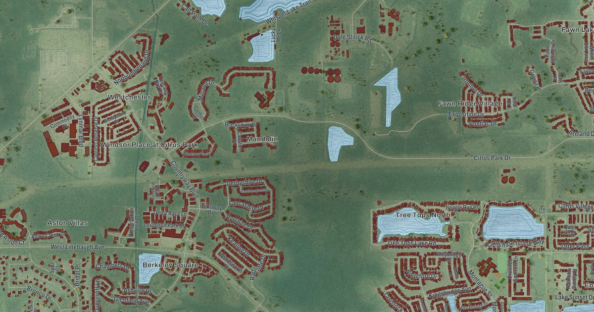
A detailed map of Westchase, Florida, showing every building in its true location, the roads by name, and shaded topographical relief.
Read More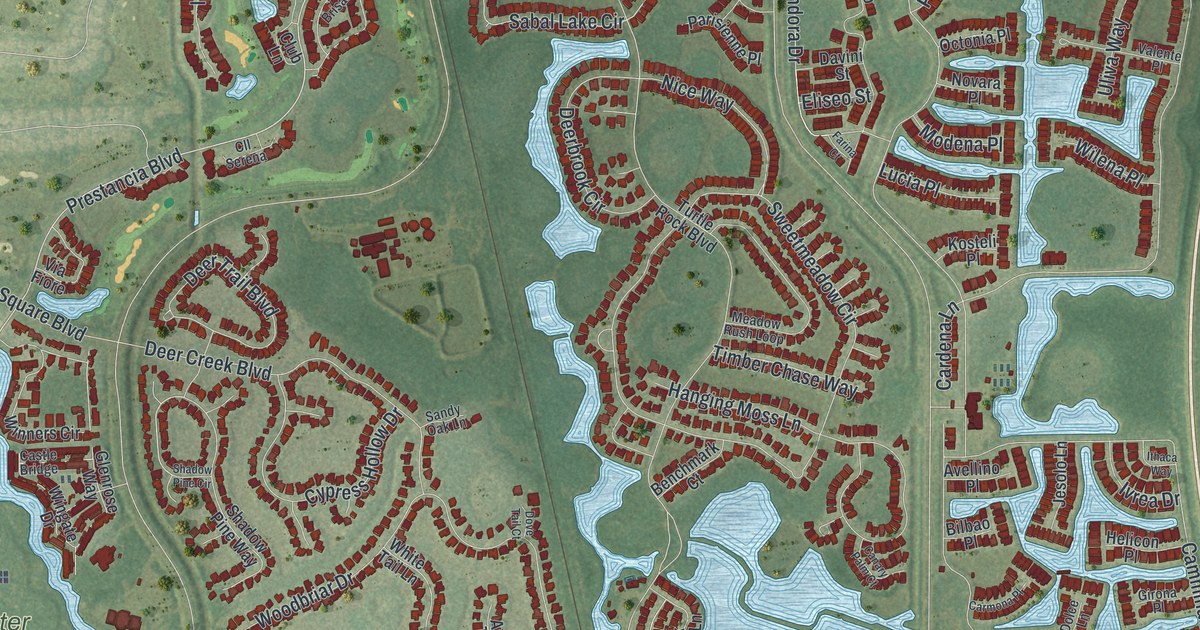
A detailed map of Palmer Ranch, Florida, showing every building in its true location, the roads by name, and shaded topographical relief.
Read More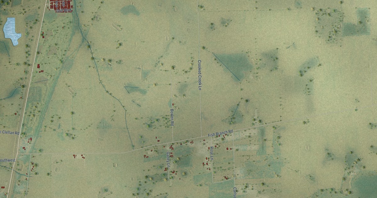
A detailed map of Gardner, Florida, showing every building in its true location, the roads by name, and shaded topographical relief.
Read More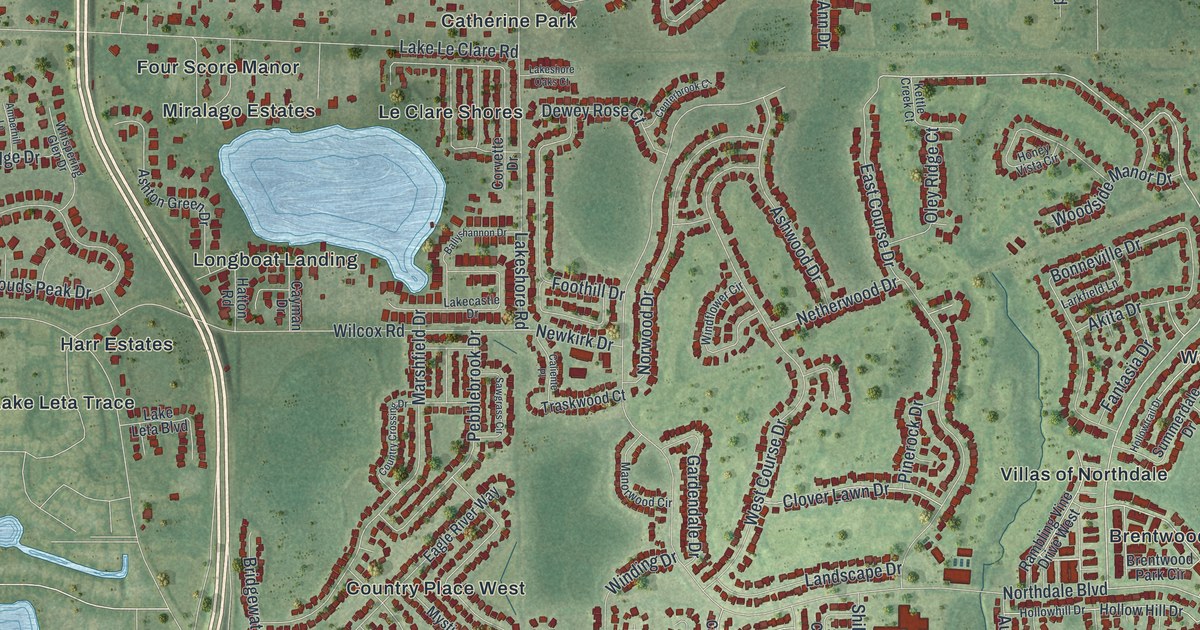
A detailed map of Northdale, Florida, showing every building in its true location, the roads by name, and shaded topographical relief.
Read More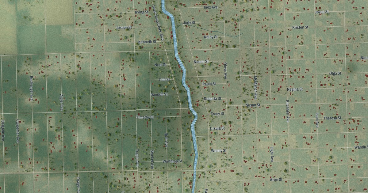
A detailed map of Flagler Estates, Florida, showing every building in its true location, the roads by name, and shaded topographical relief.
Read More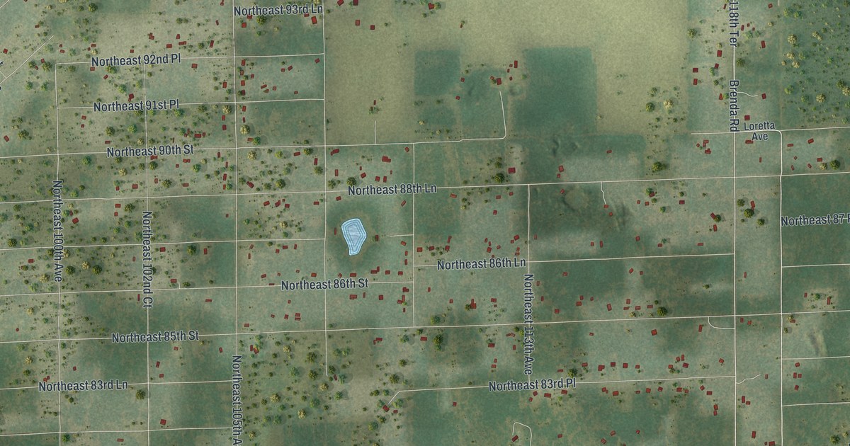
A detailed map of East Bronson, Florida, showing every building in its true location, the roads by name, and shaded topographical relief.
Read More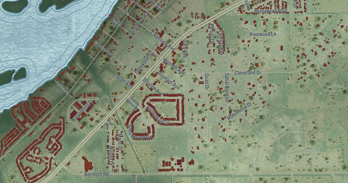
A detailed map of Cleveland, Florida, showing every building in its true location, the roads by name, and shaded topographical relief.
Read More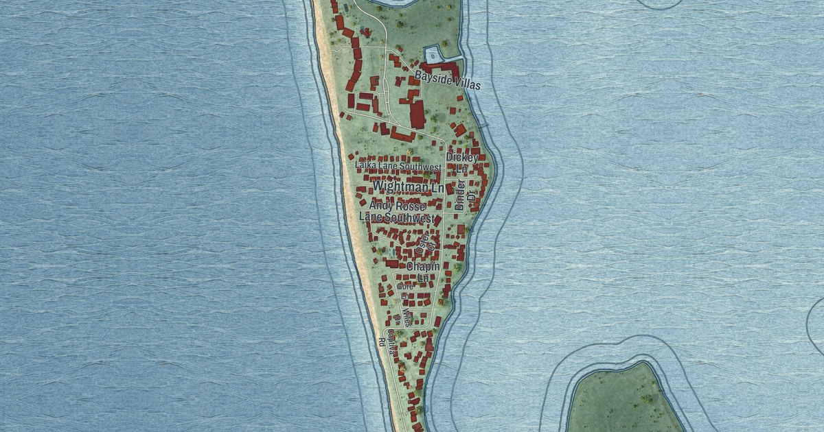
A detailed map of Captiva, Florida, showing every building in its true location, the roads by name, and shaded topographical relief.
Read More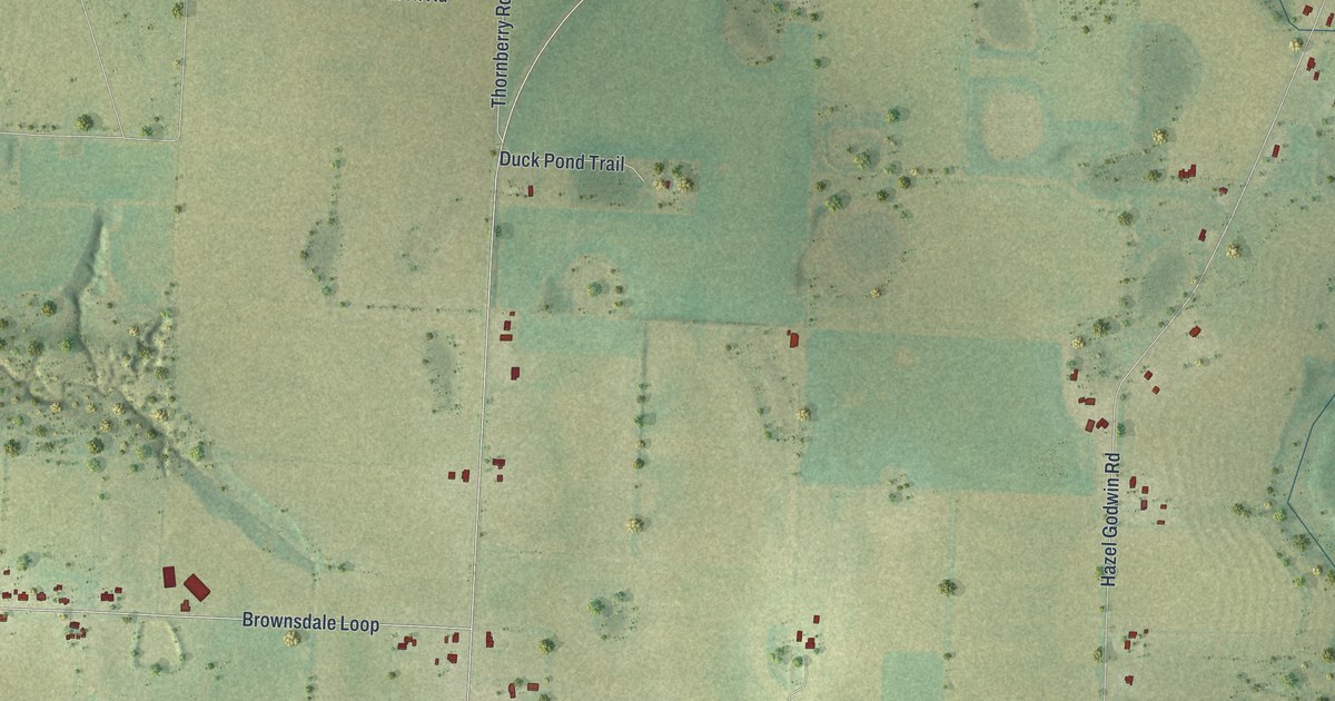
A detailed map of Brownsdale, Florida, showing every building in its true location, the roads by name, and shaded topographical relief.
Read More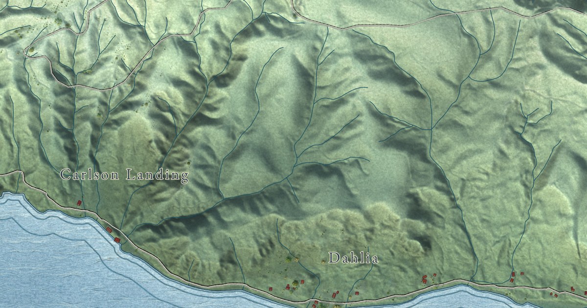
A detailed map of Altoona, Washington, showing every building in its true location, the roads by name, and shaded topographical relief.
Read More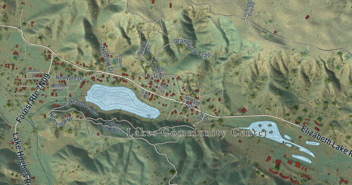
A detailed map of Lake Hughes, California, showing every building in its true location, the roads by name, and shaded topographical relief.
Read More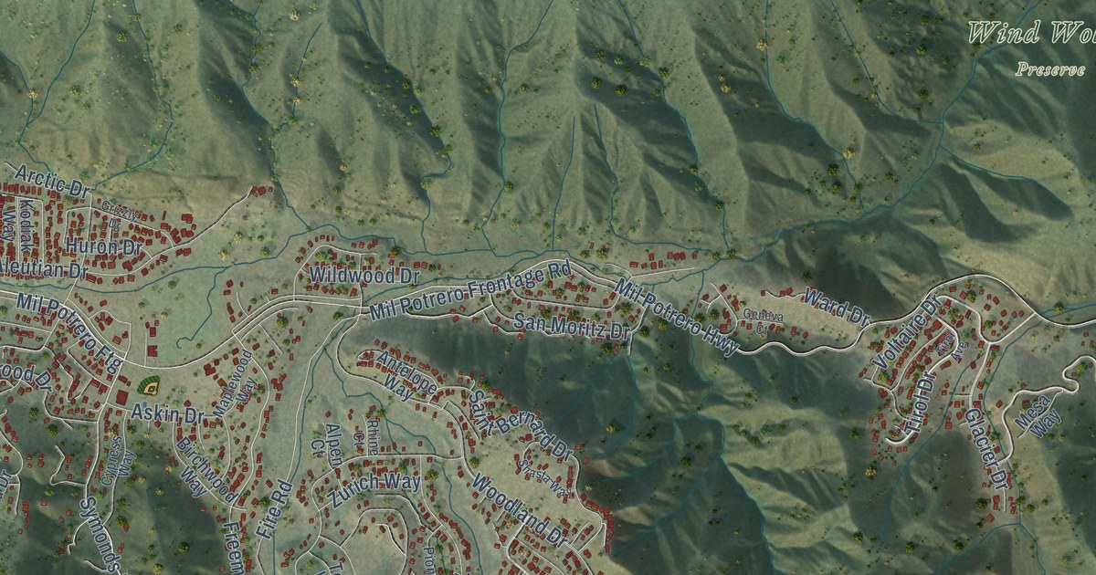
A detailed map of Pine Mountain Club, California, showing every building in its true location, the roads by name, and shaded topographical relief.
Read More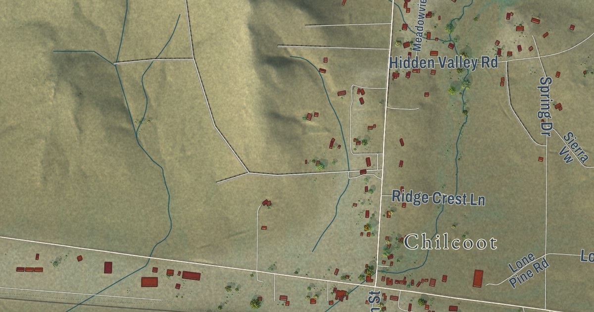
A detailed map of Chilcoot-Vinton, California, showing every building in its true location, the roads by name, and shaded topographical relief.
Read More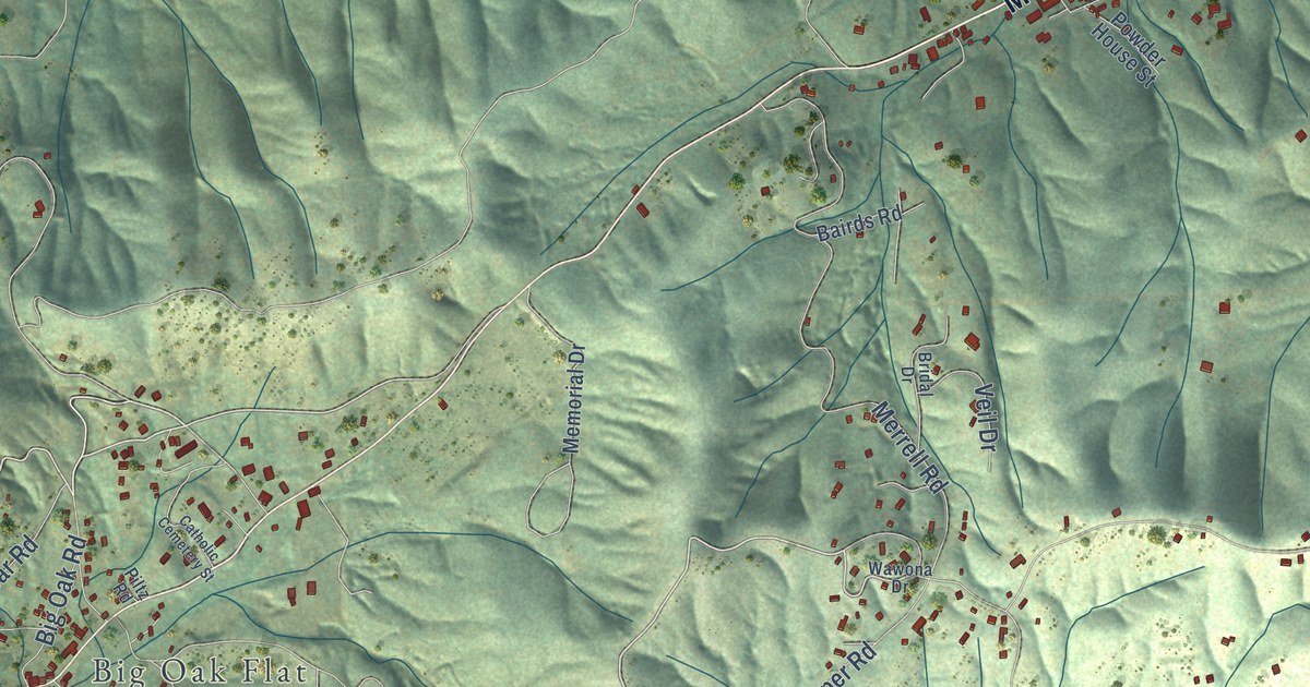
A detailed map of Groveland, California, showing every building in its true location, the roads by name, and shaded topographical relief.
Read More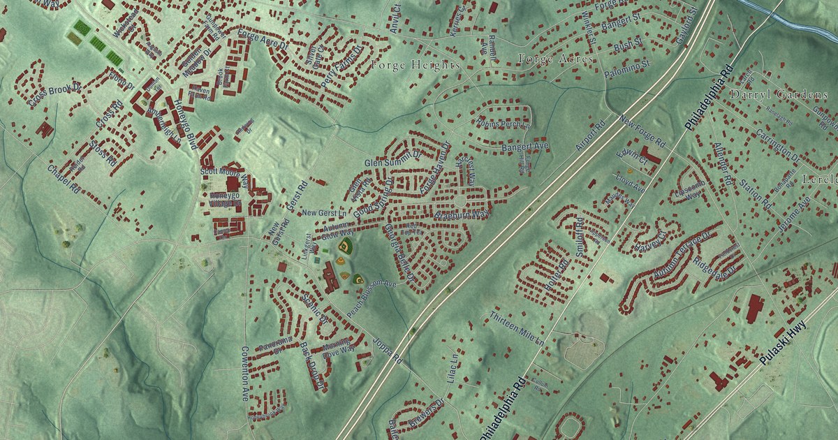
A detailed map of Honeygo, Maryland, showing every building in its true location, the roads by name, and shaded topographical relief.
Read More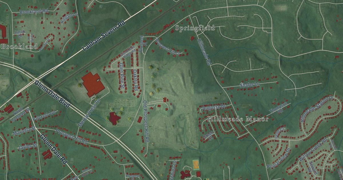
A detailed map of Glenn Dale, Maryland, showing every building in its true location, the roads by name, and shaded topographical relief.
Read More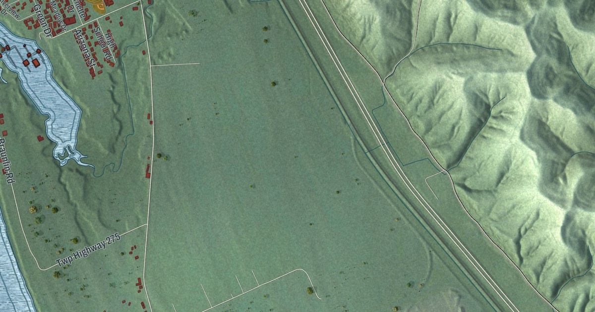
A detailed map of Franklin Furnace, Ohio, showing every building in its true location, the roads by name, and shaded topographical relief.
Read More















