New Mexico Like Never Before: 1939 Map Brings History to Life with a Laugh
Rediscover the charm of the Southwest with this playful 1939 Cartoon Map of New Mexico. Perfect for locals who love a side of humor with their history!
Read More
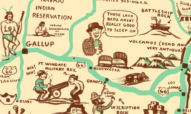
Rediscover the charm of the Southwest with this playful 1939 Cartoon Map of New Mexico. Perfect for locals who love a side of humor with their history!
Read More
The historic map of Texas is a nostalgic and humorous representation of the state created in the...
Read More
Historic Rochester landmarks on the map include Bear Creek, Lumbro River, Rochester Railroad Depot, Public School, Court House, and Baptist, Congregational, Episcopal, Methodist, German Methodist, Presbyteria, Universalist, and Roman Catholic Churches.
Read More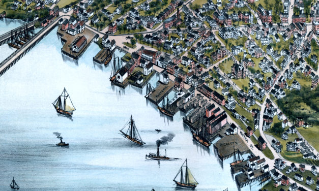
Vintage Map of Beverly, Massachusetts from 1886
Read More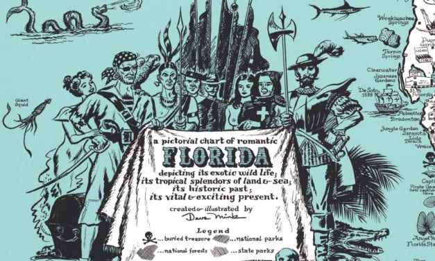
This vintage map of Florida was created in 1951 and is titled “a pictorial chart of romantic...
Read More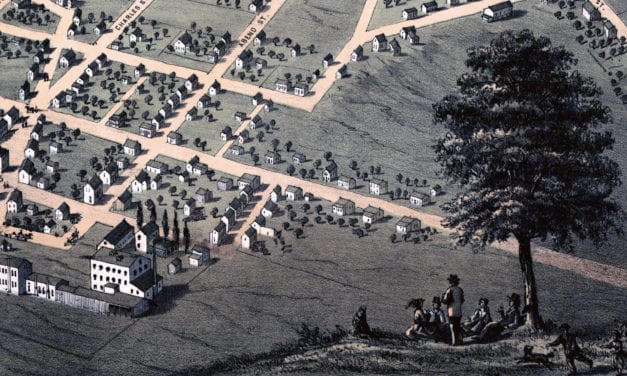
Historic bird’s eye view of Belleville, Illinois from 1867
Read More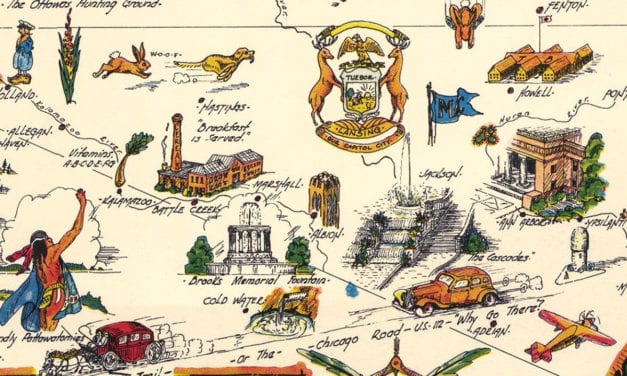
Dive into the historic grandeur of the Great Lake State with this Pictorial Map of Michigan from...
Read More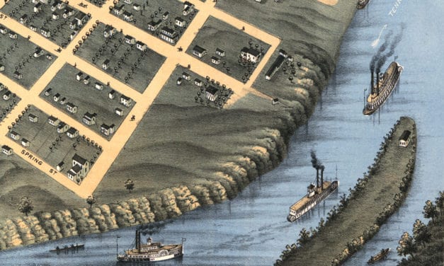
Historic old map shows bird’s eye view of Chattanooga, Tennessee in 1871
Read More
Historic bird’s eye view of Topeka, Kansas from 1869
Read More
Historic old map of Saint Paul, Minnesota from 1867
Read More
Historic bird’s eye view of Appleton, Wisconsin from 1867
Read More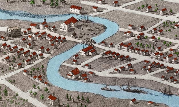
Historic bird’s eye view of Green Bay, Wisconsin from 1867
Read More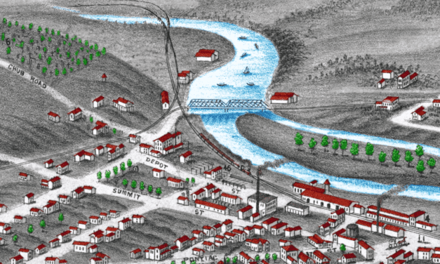
Historic bird’s eye view of Ann Arbor, Michigan from 1880
Read More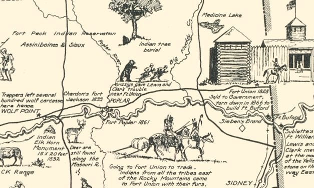
Historic map of Frontier & Pioneer Montana from 1936
Read More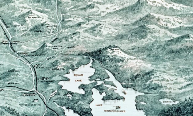
Historic bird’s eye view of New Hampshire’s White Mountains from 1890
Read More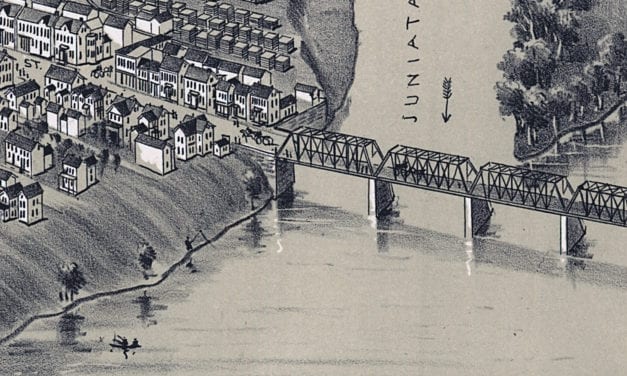
Historic bird’s eye view of Patterson, Pennsylvania in 1895
Read More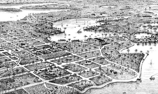
Historic bird’s eye view of Winter Park, Florida in 1885
Read More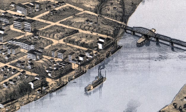
Historic bird’s eye view of Kansas City, Missouri from 1869
Read More
Historic bird’s eye view of Westford, Massachusetts from 1886
Read More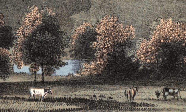
Historic bird’s eye view of Marshalltown, Iowa from 1868
Read More
Historic bird’s eye view of Frankfort, Kentucky in 1871
Read More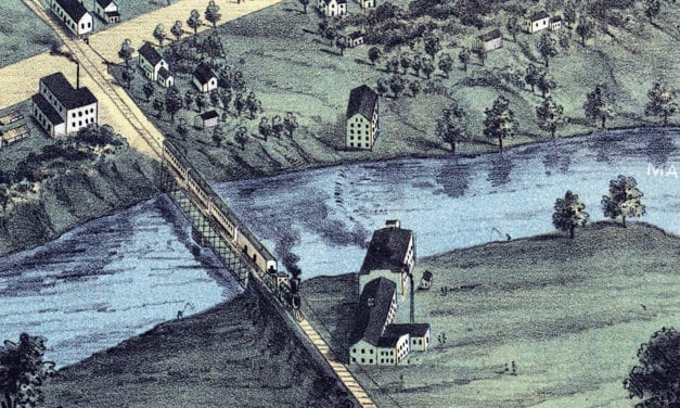
Historic bird’s eye view of Warren, Ohio in 1870
Read More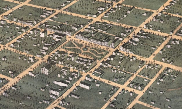
Historic bird’s eye view of Bowling Green, Kentucky in the late 19th century.
Read More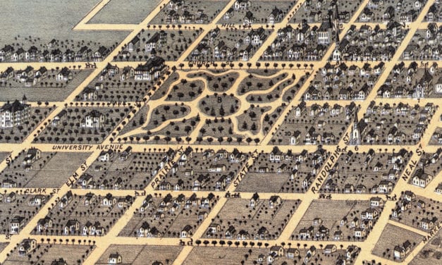
This historic map of Champaign, Illinois was created in 1869 by Albert Ruger, a prominent 19th...
Read More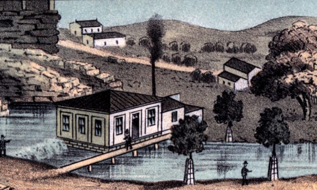
Historic bird’s eye view of Huntsville, Alabama in 1871
Read More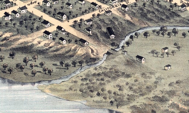
Historic old map of Nebraska City, Nebraska in 1868
Read More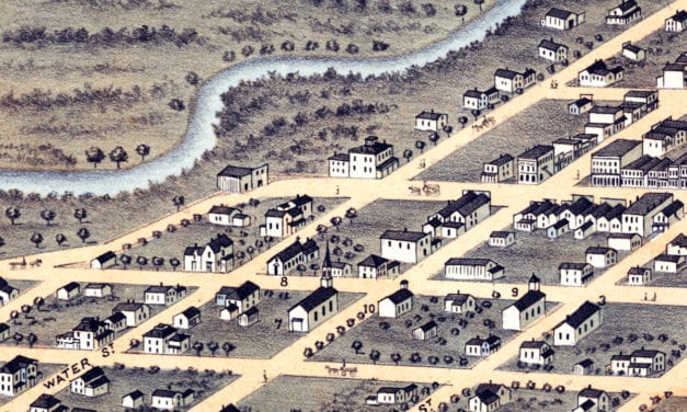
Historic bird’s eye view of Austin, Minnesota from 1870.
Read More
Historic old map of Omaha, Nebraska from 1868
Read More
Historic old map of Urbana, Illinois from 1869
Read More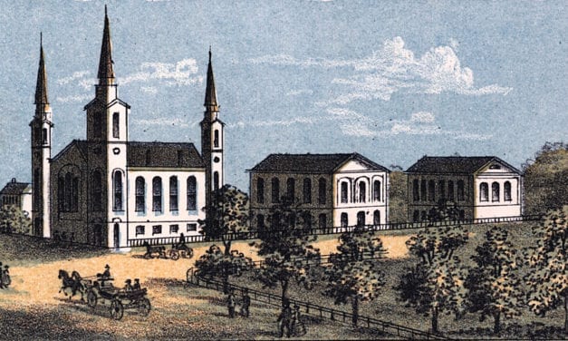
Historic map of Sandusky, Ohio from 1870
Read More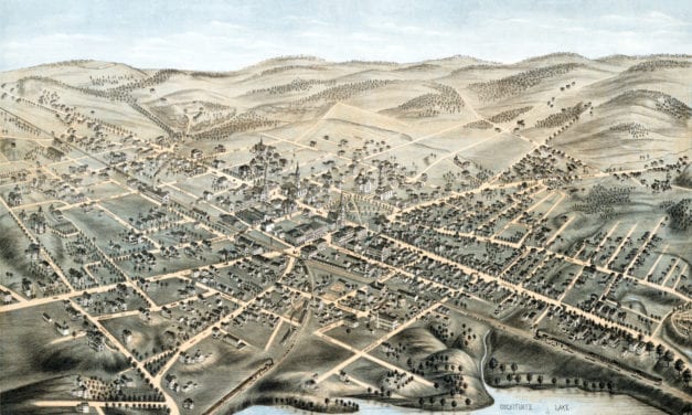
Detailed bird’s eye view of Natick, Massachusetts in 1877
Read More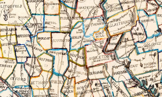
This beautiful hand drawn map of Connecticut was created in 1857 by Laura Roys, a student who attended Hartford Female Seminary, an all-female academy in Hartford, Connecticut. The map is beautifully colored, with shades of blue, orange, red, pink, yellow, and violet adorning the border of each city and town.
Read More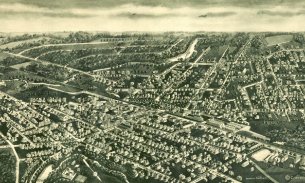
Beautifully detailed map of Westwood, NJ from 1924
Read More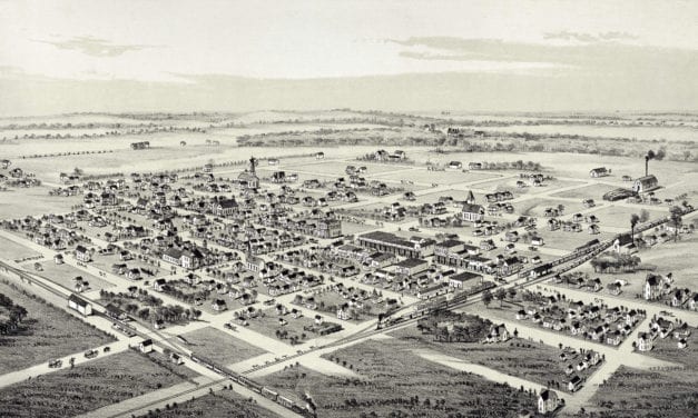
Detailed bird’s eye view of Whitewright, Texas in 1891
Read More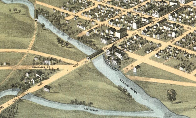
Historic bird’s eye view of Mount Vernon, Ohio in 1870
Read More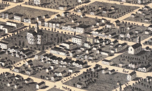
Beautifully restored map of Newton, Iowa from 1868
Read More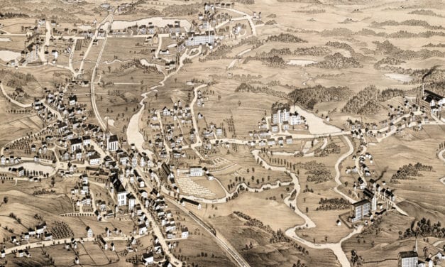
Detailed bird’s eye view of Uxbridge, Massachusetts in 1880
Read More
Historic bird’s eye view of Annapolis, Maryland from 1864
Read More
Bird’s eye view of Spring City, PA in 1893
Read More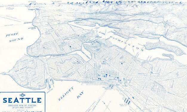
Historic bird’s eye view of Seattle in the early 20th century
Read More
Historic bird’s eye view of Stratford, Connecticut from 1882
Read More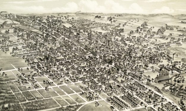
Historic bird’s eye view of Hazleton, Pennsylvania from 1886
Read More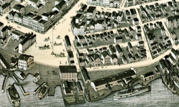
Bird’s eye view of New London, Connecticut in 1876
Read More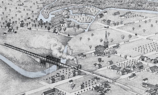
Historic bird’s eye view of New Braunfels, Texas in 1881
Read More
This historic map of Akron, Ohio was created in 1870 by Albert Ruger, a prominent 19th century map...
Read More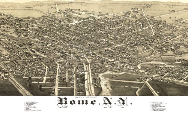
This map shows Rome, New York as it looked in 1886
Read More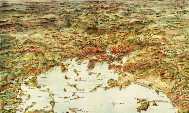
This map shows Boston and surrounding cities in 1905
Read More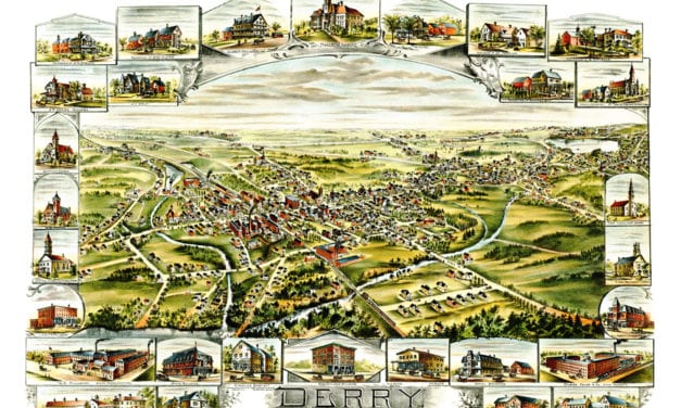
This old map shows Derry, New Hampshire in the late 19th century.
Read More
Historic map showing Abraham Lincoln’s route through Massachusetts in 1848
Read More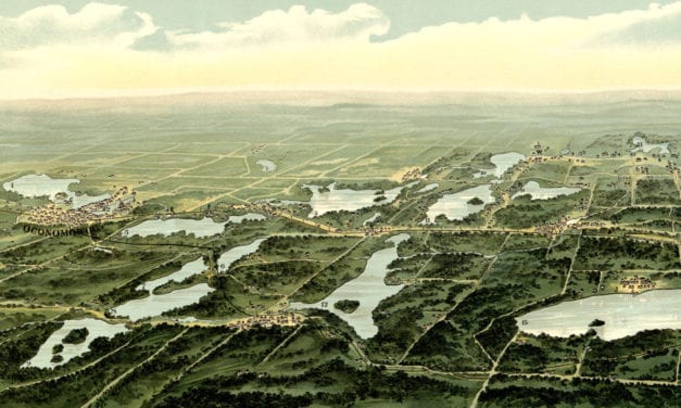
This map from 1890 shows Oconomowoc, Waukesha and Waukesha County, Wisconsin.
Read More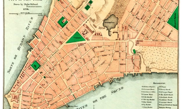
This old map shows New York City in the late 18th century.
Read More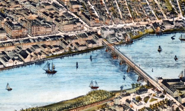
Historic bird’s eye view of Haverhill, Massachusetts from 1893
Read More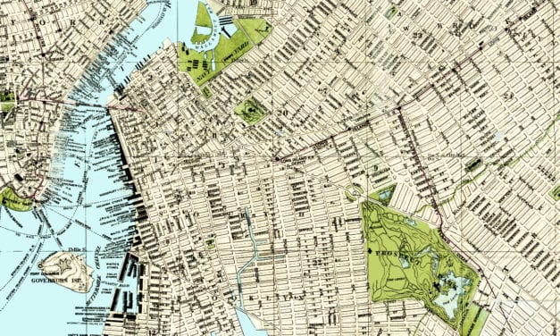
In 1883, Brooklynite S.D.L. Taunton created this beautifully detailed map of his hometown in New...
Read More
Historic bird’s eye view of Corpus Christi, Texas in 1887
Read More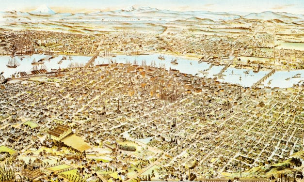
What do you first think of when someone says: “Portland”? Pittock Mansion? Union Station?...
Read More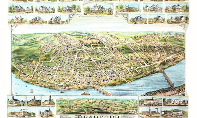
This map shows Bradford, Massachusetts in 1892, five years before it was annexed to the city of Haverhill.
Read More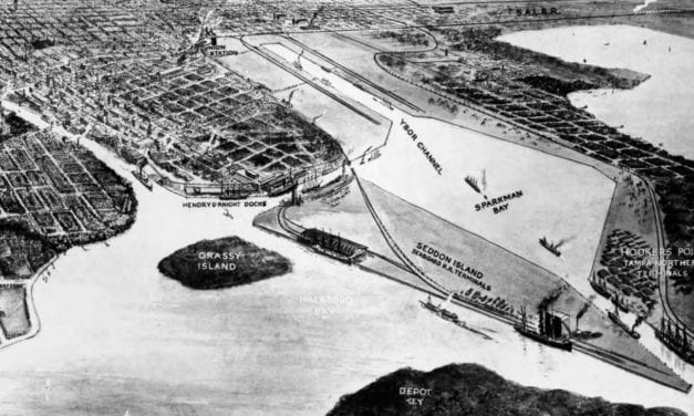
Historic bird’s eye view of Tampa, Florida from 1912
Read More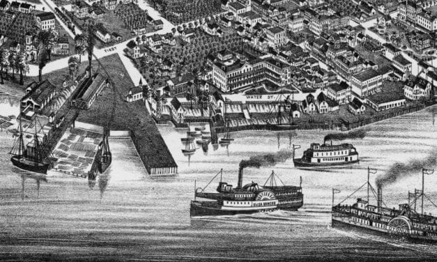
Historic bird’s eye view of Palatka, Florida from 1884
Read More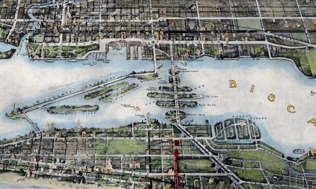
Historic bird’s eye view of Miami, Florida from 1934
Read More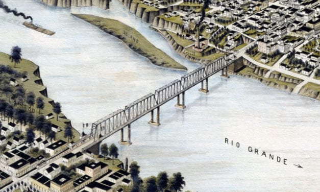
Historic bird’s eye view of Laredo, Texas in 1892
Read More
This amazing old map shows Newark, New Jersey as it looked in 1916.
Read More
Bird’s eye view of Medway, Massachusetts from 1887
Read More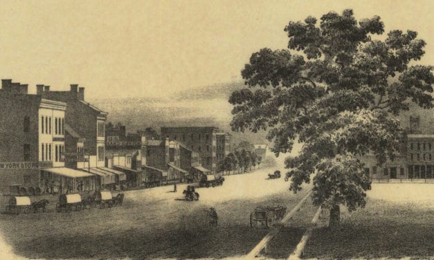
It has a high, beautiful and very healthy location upon the Iowa River, which is a bold deep stream of clear water, navigable with Steamboats during several months of each year, and commands the growing trade of a large scope of exceedingly fertile country, well timbered and watered.
Read More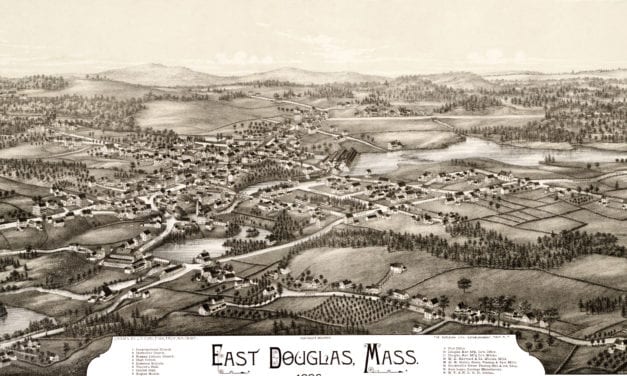
Click here to see the full map.
Read More
Historic bird’s eye view of Lexington, Kentucky in 1871
Read More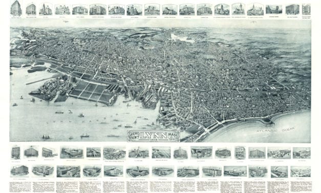
See what Lynn looked like more than 100 years ago!
Read More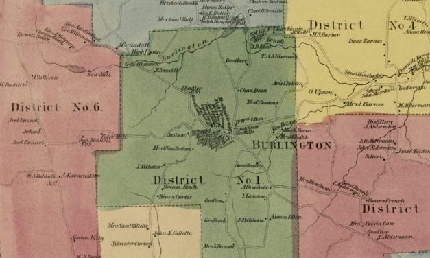
Vintage landowners map of Burlington, Connecticut as it used to be
Read More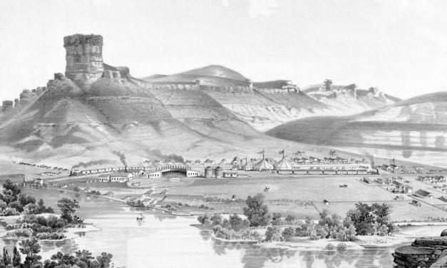
Historic bird’s eye view of Green River, Wyoming from 1875
Read More
This map by the satirical artist John Held shows the perfect “estate” for the fly fisherman.
Read More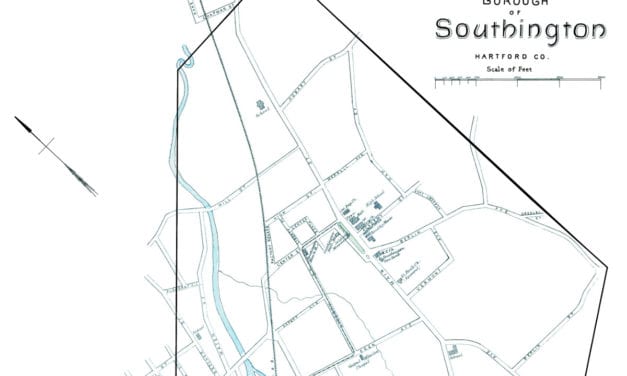
This beautiful map of Southington, Connecticut was created using government surveys in 1893.
Read More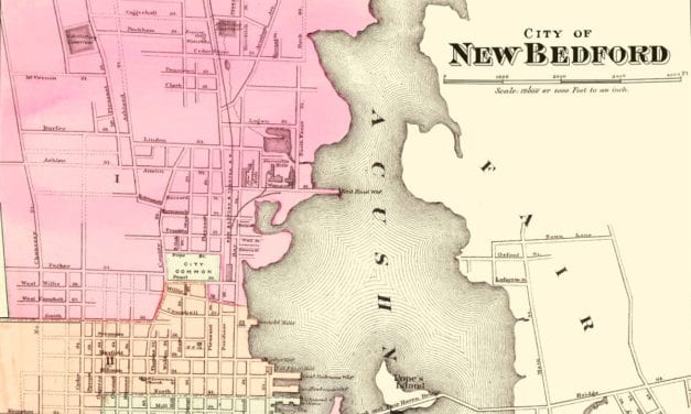
This amazing map of New Bedford, Massachusetts shows the town as it looked in 1871
Read More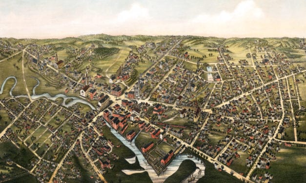
This old map shows Medford, Massachusetts as it looked in 1880.
Read More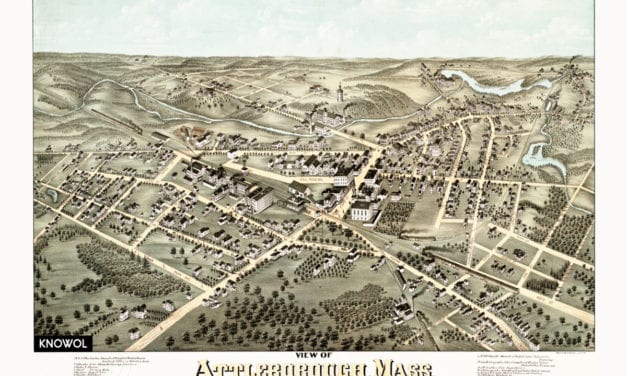
This old map shows Attleboro, Massachusetts as it looked in 1878. The map was created by O.H....
Read More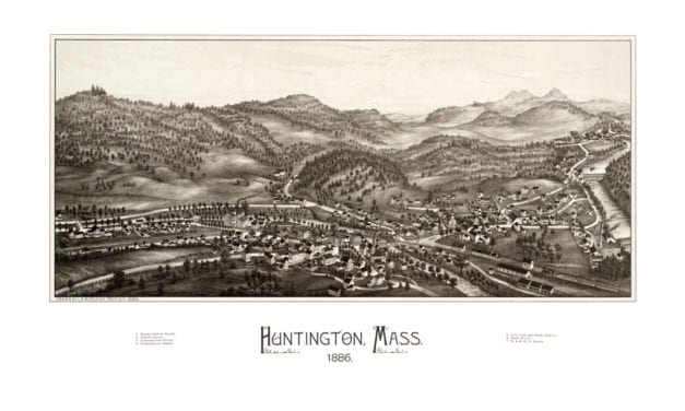
This beautiful hand drawn map of Huntington, Massachusetts was created by Hughes & Bailey Publishers in 1886. The map shows a bird’s eye view of Huntington, MA surrounded by hand drawn pictures of historic Huntington landmarks.
Read More
Click here to see the full map.
Read More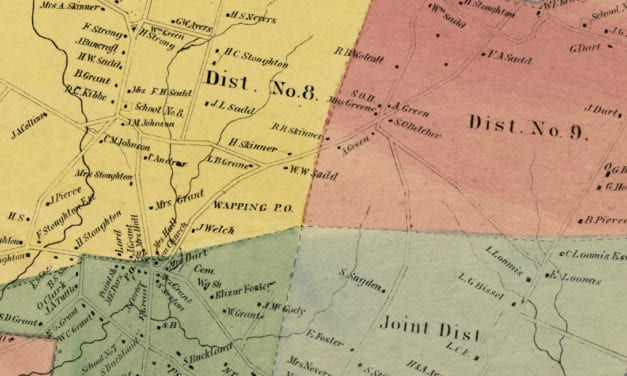
Vintage landowners map shows South Windsor, Connecticut as it used to be
Read More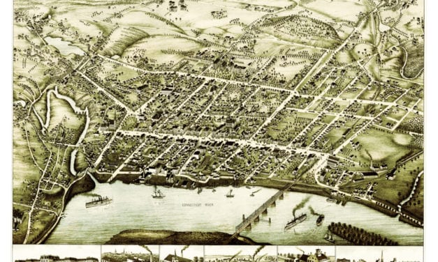
This beautiful vintage map shows Middletown, Connecticut as it looked in 1877. At the time...
Read More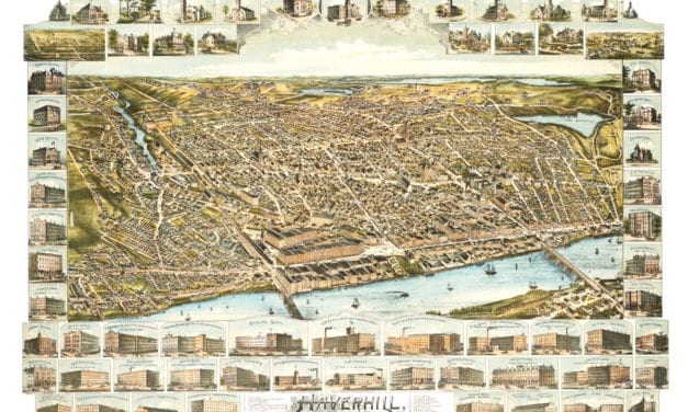
This is what Haverhill looked like when only 30,000 people lived here
Read More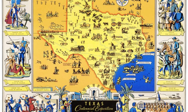
The Centennial Exposition celebrated the 100th anniversary of Texas’s independence from Mexico in 1836.
Read More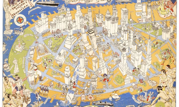
Amazing stories and images from the early years of Manhattan!
Read More
Detailed bird’s eye view of Hinsdale, New Hampshire in 1886
Read More
Detailed bird’s eye view of Knoxville, Tennessee in 1886
Read More
Historic bird’s eye view of Albany, Georgia in the late 19th century
Read More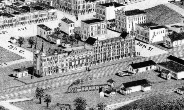
Historic bird’s eye view of Birmingham, Alabama in 1885
Read More
Detailed bird’s eye view of Stoneham, Massachusetts in 1878
Read More
Detailed bird’s eye view of Charlton, Massachusetts in 1887
Read More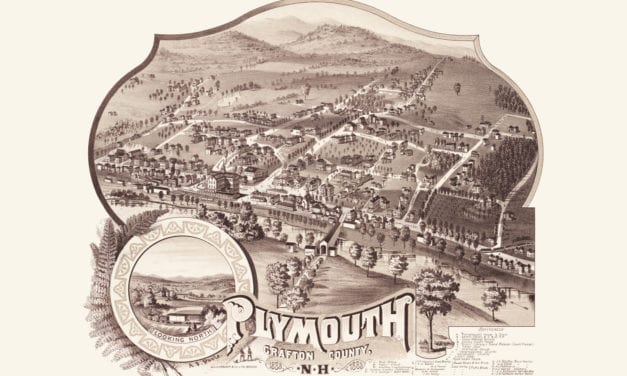
Historic bird’s eye view of Plymouth, New Hampshire from 1883
Read More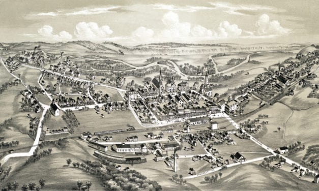
Detailed bird’s eye view of East Stroudsburg, Pennsylvania from 1884
Read More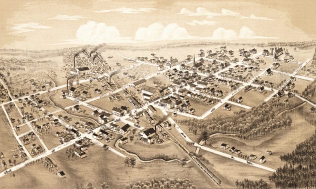
Detailed bird’s eye view of Clare, Michigan in 1884
Read More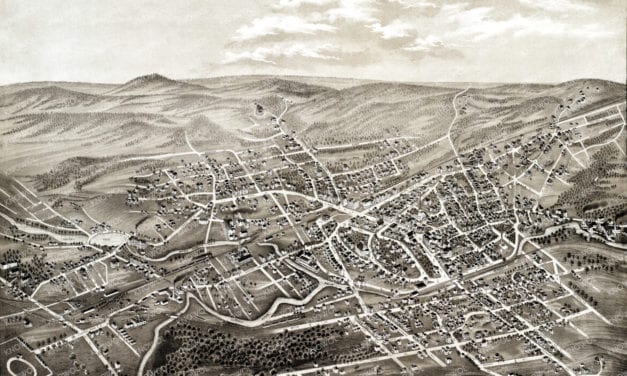
Historic bird’s eye view of Hyde Park, Massachusetts in 1879
Read More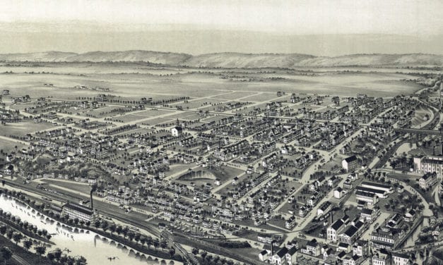
Detailed bird’s eye view of West Bethlehem, PA in 1894
Read More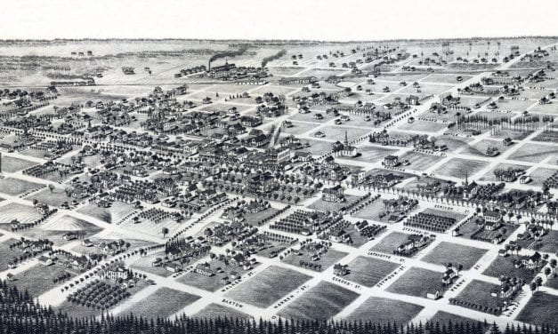
Detailed bird’s eye view of Quitman, Georgia in 1885
Read More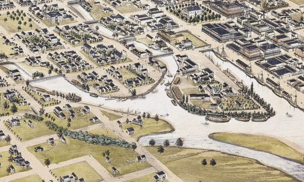
Historic bird’s eye view of Stockton, California from 1870
Read More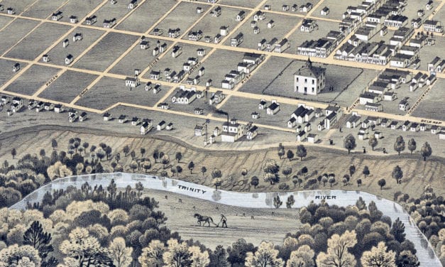
Historic bird’s eye view of Fort Worth, Texas from 1876
Read More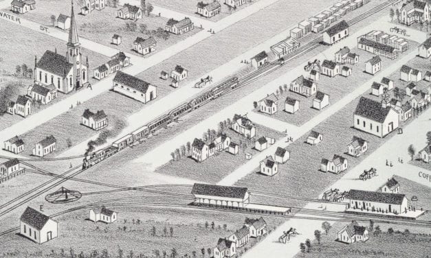
Historic bird’s eye view of Plano, Texas from 1891
Read More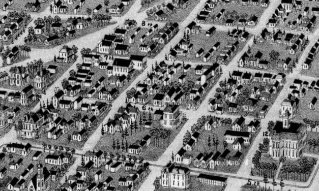
Historic bird’s eye view of Texarkana, Texas & Arkansas in 1888
Read More
Historic bird’s eye view of Detroit, Michigan in 1889
Read More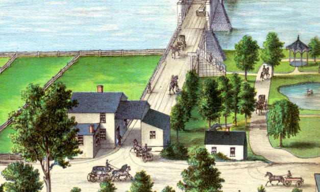
Historic bird’s eye view of Ottawa, Illinois in 1875
Read More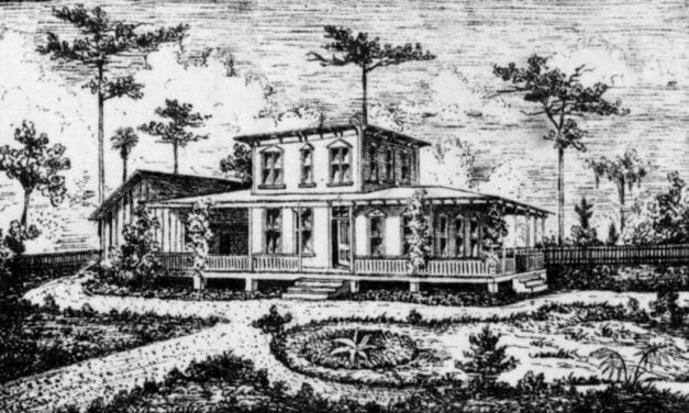
Historic bird’s eye view of Longwood, Florida from 1885
Read More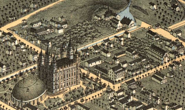
Historic bird’s eye view of Salt Lake City in 1870
Read More


