Albert Ruger’s Legacy: Capturing the Growth of 19th-Century American Cities
Born in 1829 in Prussia, Albert Ruger emigrated to the United States and transformed his career...
Read More

Born in 1829 in Prussia, Albert Ruger emigrated to the United States and transformed his career...
Read More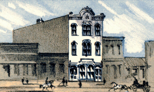
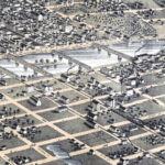
This vintage map of Decorah, Iowa was created in 1870 and has been lovingly restored by KNOWOL. Click to zoom in on a high resolution version and purchase reproductions.
Read More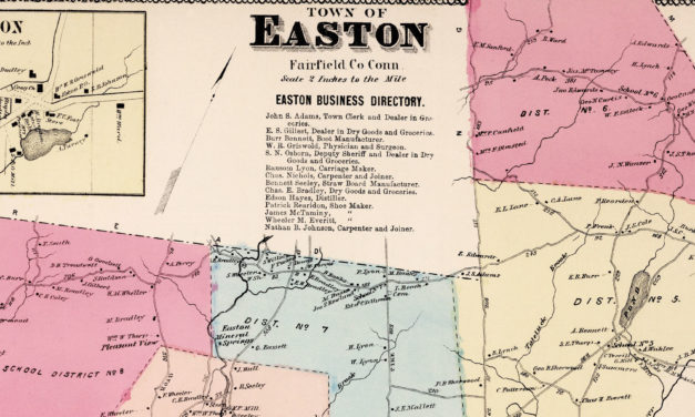
This vintage landowners map of Easton, Connecticut was created in 1867 by Frederick W. Beers. a prominent 19th century map maker. Beers was a prominent American map maker and publisher during the 19th century. He began his career as a civil engineer and surveyor, and later established the firm of F.W. Beers, A.D. Ellis & Co. in 1866.
Read More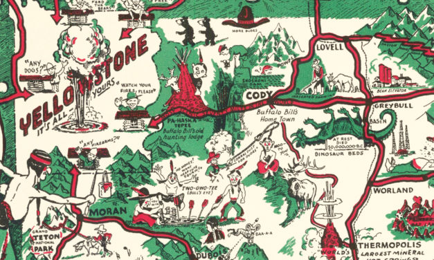
Historic Wyoming landmarks on the map include Kaycee, Gillette, Big Horn Mountains, Dinosaur Beds, Cody, Jackson, Yellowstone, and more.
Read More
Compiled from Actual Surveys, and containing all changes in Lines of Counties up to Sept. 1st, 1876.
Read More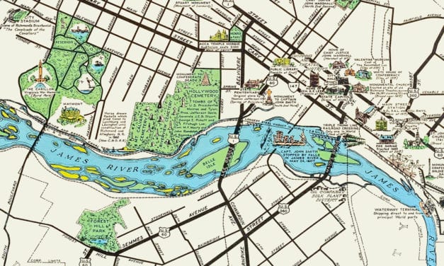
This historic map of Richmond, Virginia was created in 1937 by W.M. Lewis, and shows a beautifully...
Read More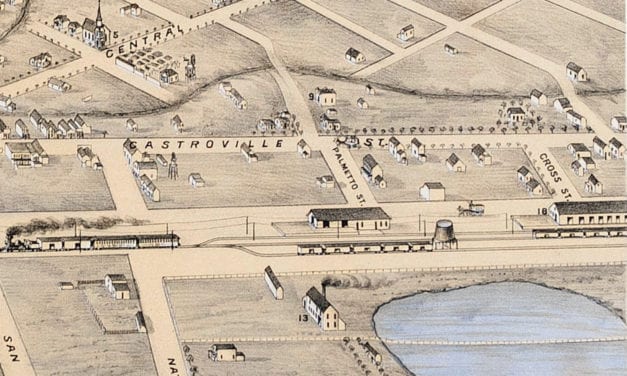
Historic bird’s eye view of Salinas City, California from 1875
Read More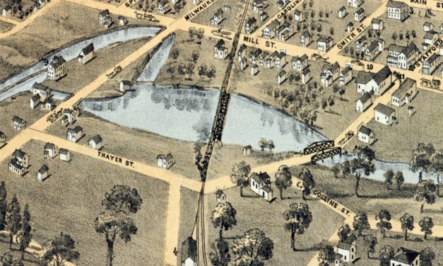
Historic bird’s eye view of Plymouth, Wisconsin from 1870
Read More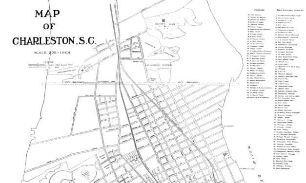
This beautifully detailed map shows Charleston, South Carolina as it looked in 1912
Read More
This historic geological map of the United States was created in 1872 by C.H. Hitchcock and W.P....
Read More
Historic bird’s eye view of Billings, Montana in 1904
Read More
Historic bird’s eye view of Abilene, Texas from 1883
Read More
Historic bird’s eye view of Muskegon, Michigan from 1874
Read More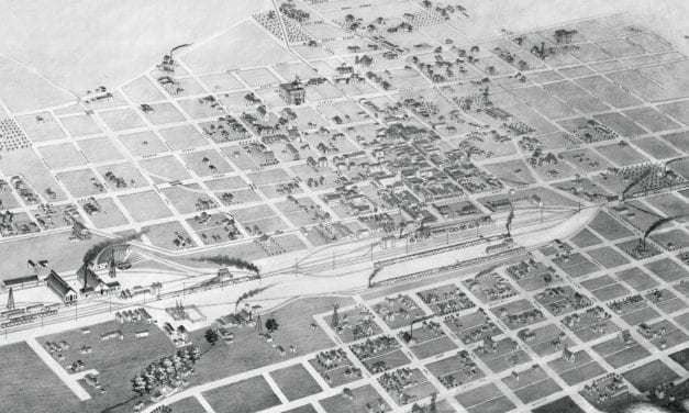
Historic bird’s eye view of Albuquerque, New Mexico from 1886
Read More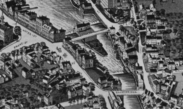
Historic bird’s eye view of Exeter, New Hampshire from 1884
Read More
Historic bird’s eye view of Sydney, Australia from 1888
Read More
Historic bird’s eye view of St. Augustine, Florida from 1885
Read More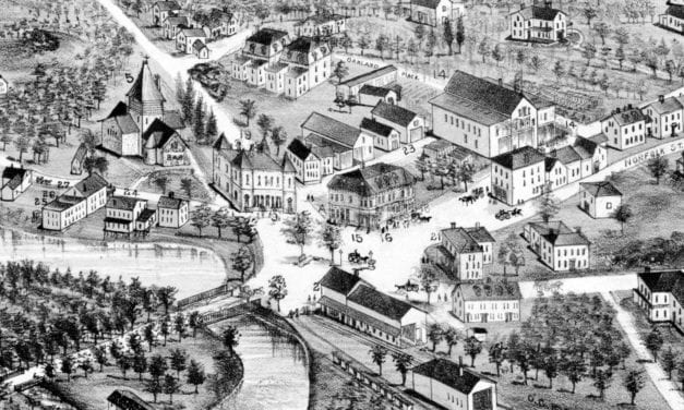
Historic bird’s eye view of Mattapan, MA in 1890
Read More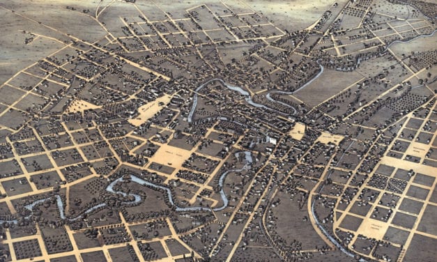
Historic bird’s eye view of San Antonio, Texas from 1873
Read More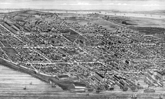
Historic bird’s eye view of Bristol, Rhode Island from 1891
Read More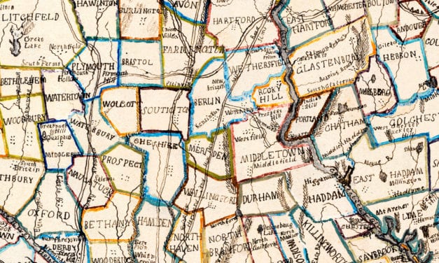
This beautiful hand drawn map of Connecticut was created in 1857 by Laura Roys, a student who attended Hartford Female Seminary, an all-female academy in Hartford, Connecticut. The map is beautifully colored, with shades of blue, orange, red, pink, yellow, and violet adorning the border of each city and town.
Read More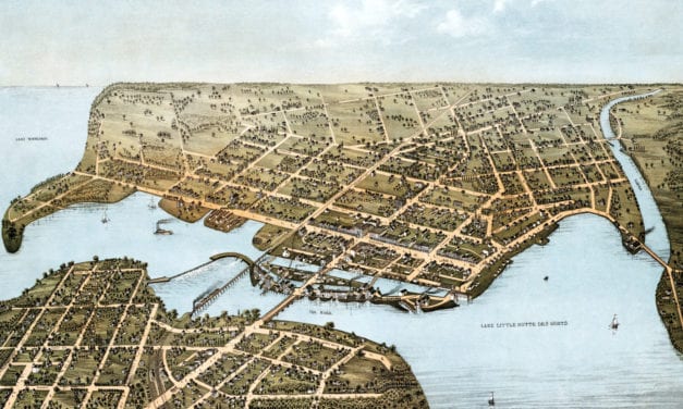
Detailed bird’s eye view of Neenah, WI from 1879
Read More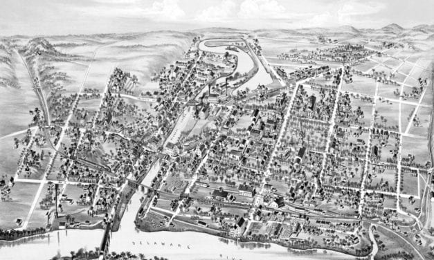
Detailed bird’s eye view of Belvidere, New Jersey in 1883
Read More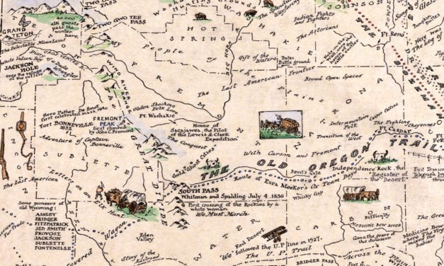
This beautifully detailed map of Wyoming features historical facts and trivia from around the state. It was created by renowned Wyoming historian Grace Raymond Hebard in 1928.
Read More
Detailed bird’s eye view of Lowell, Massachusetts from 1876
Read More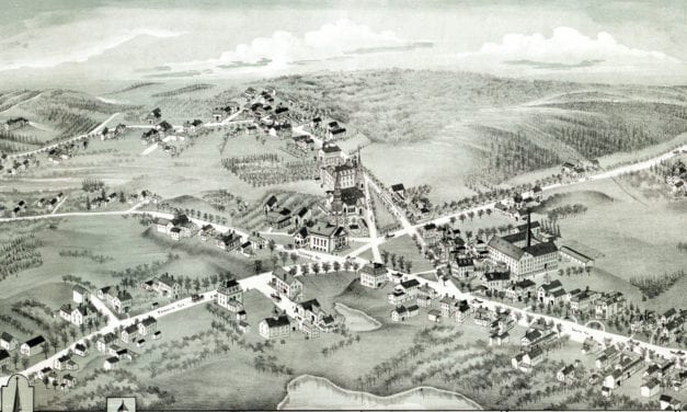
Detailed bird’s eye view of Wrentham, Massachusetts from 1888
Read More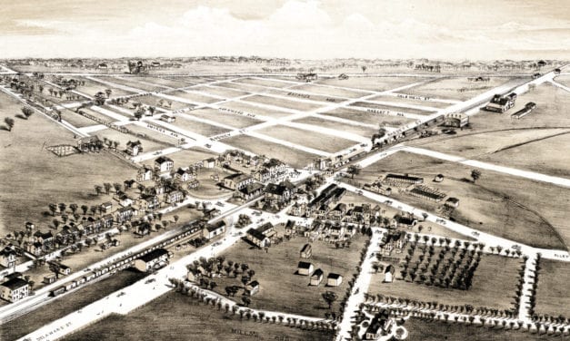
Detailed bird’s eye view of Clayton, Delaware from 1885
Read More
Historic bird’s eye view of Brenham, Texas from 1881
Read More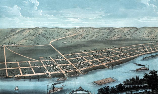
Historic bird’s eye view of Guttenberg, Iowa in the 19th century.
Read More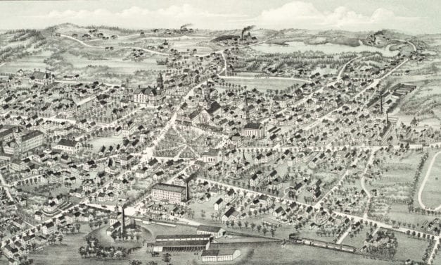
Historic bird’s eye view of Foxboro, Mass
Read More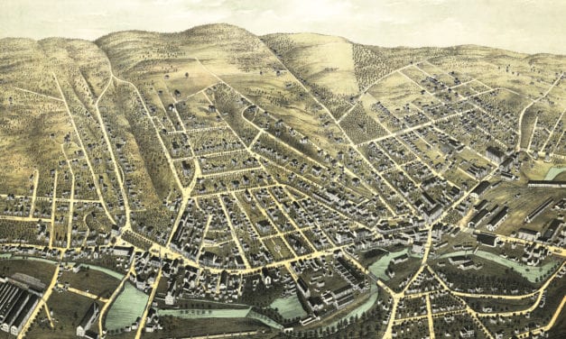
Historic old map of Fitchburg, Massachusetts from 1875
Read More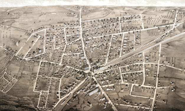
Bird’s eye view of Westboro, MA in 1880
Read More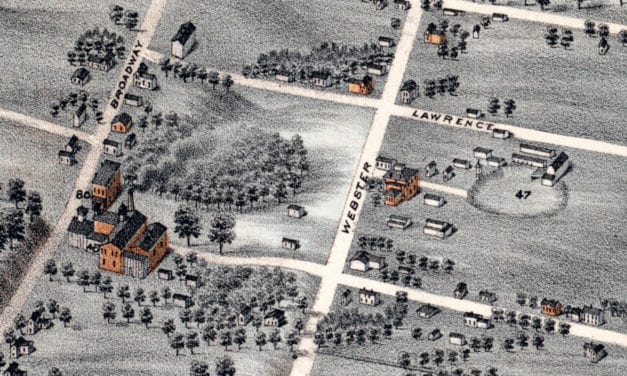
Historic bird’s eye view of Decatur, Illinois in 1878
Read More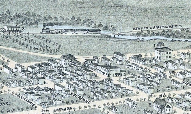
Historic bird’s eye view of Colorado City, Manatou, and Colorado Springs from 1874
Read More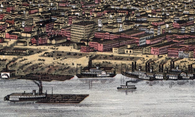
Historic bird’s eye view of Louisville, Kentucky in 1876
Read More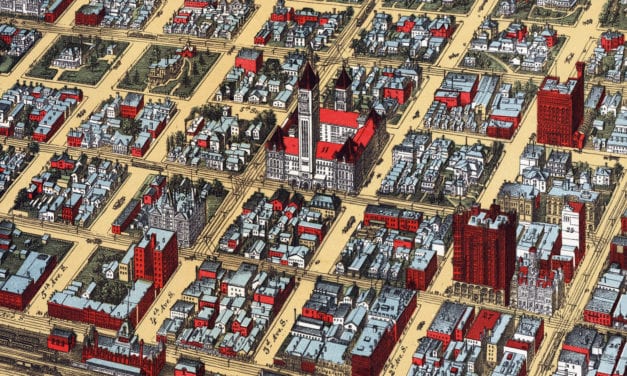
Historic bird’s eye view of Minneapolis, Minnesota in 1891
Read More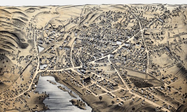
Bird’s eye view of Milford, MA in the late 19th century.
Read More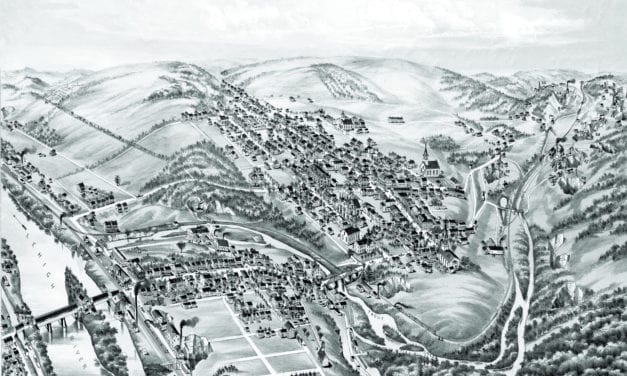
Vintage bird’s eye view of Slatington in the late 19th century.
Read More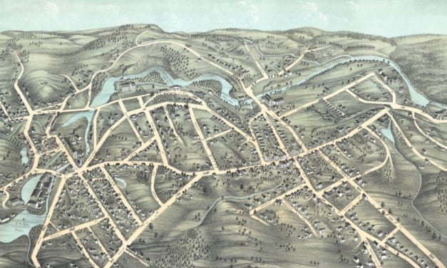
Bird’s eye view of Southbridge, Massachusetts in the 19th century.
Read More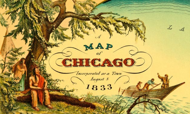
Amazing old map showing Chicago when it was first incorporated as a town in 1833
Read More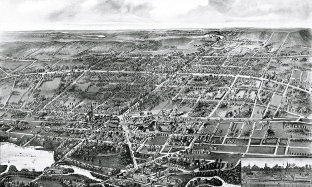
Wallingford, Connecticut in the 19th century.
Read More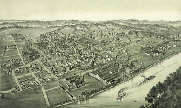
Historic bird’s eye view of Charleroi, Pennsylvania in the late 19th century.
Read More
This historic map of the Maine Coast was created in 1929 by Albert Prentice Button, an American...
Read More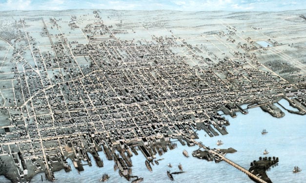
Bird’s eye view of New Bedford, MA in 1876
Read More
Historic bird’s eye view of Merrimac, Massachusetts in 1889
Read More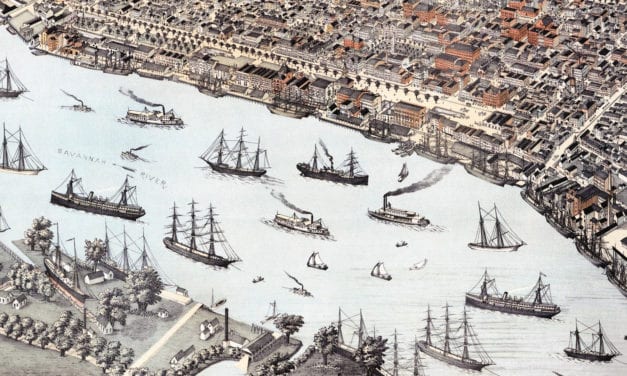
Historic bird’s eye view of Savannah, Georgia in 1891
Read More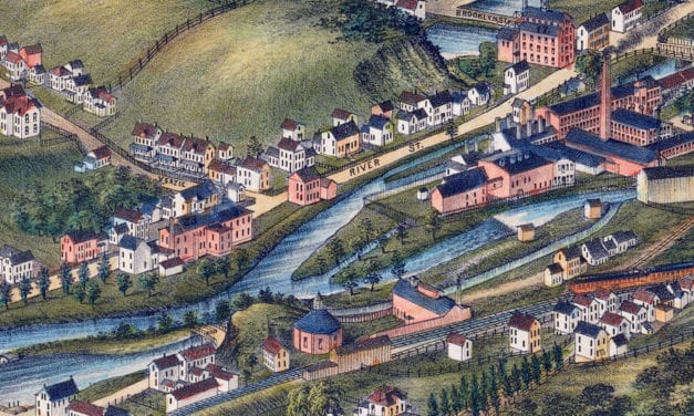
Historic bird’s eye view of North Adams, Massachusetts from 1881
Read More
Historic bird’s eye view of Mexico City, Mexico in 1890
Read More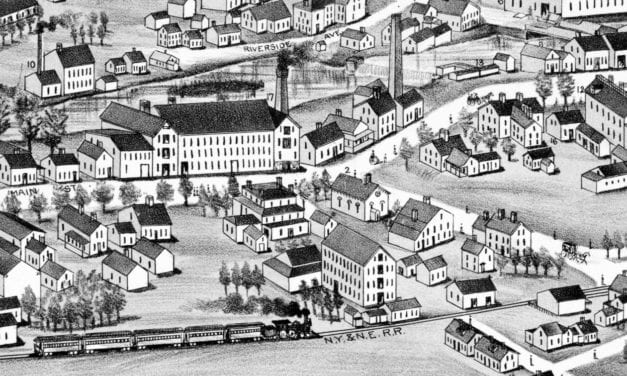
Historic bird’s eye view of Washington, Rhode Island from 1888
Read More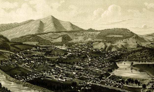
Bird’s eye view of Windsor, Vermont in 1886
Read More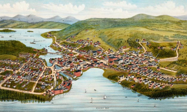
Bird’s eye view of Lake Village, NH in 1883. The town is now known as Lakeport, in Laconia New Hampshire.
Read More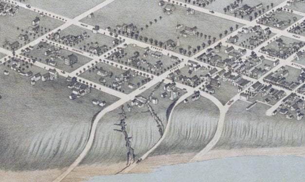
Historic bird’s eye view of Bastrop, Texas in 1887
Read More
Bird’s eye view of Groton, Massachusetts in 1886
Read More
Historic bird’s eye view of Nazareth, Pennsylvania from 1885
Read More
Bird’s eye view of Grove City, PA in 1901
Read More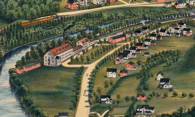
Historic bird’s eye view of Housatonic, Massachusetts from 1890
Read More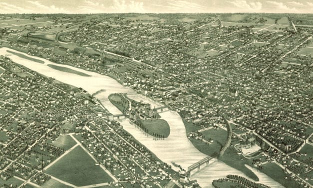
Bird’s eye view of Aurora, IL in 1882
Read More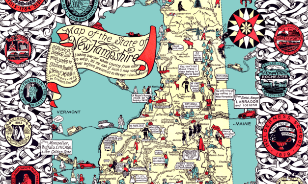
Granite State legend, history, and anecdotes, mixing past and present with skill and humor.
Read More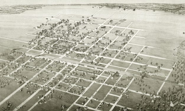
Bird’s eye view of Cuero, TX in 1881
Read More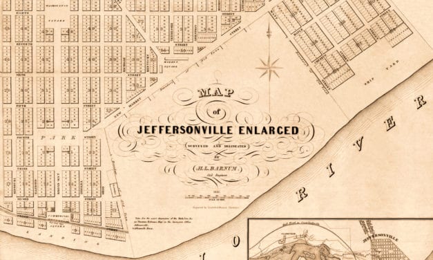
The historic map of Jeffersonville, Indiana was created in 1837 by H.L. Barnum, a civil engineer. Landmarks on the map include the Jeffersonville Ship Yard, Commercial Square, Washington Square, Jefferson Square, Franklin Square, Market Square, and more.
Read More
Restoration of an old map of Alvord, TX from 1890
Read More
Historic bird’s eye view of Clarksville, Tennessee from 1870
Read More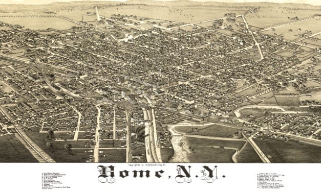
This map shows Rome, New York as it looked in 1886
Read More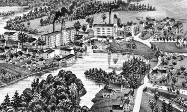
Historic bird’s eye view of North Billerica, Massachusetts from 1887
Read More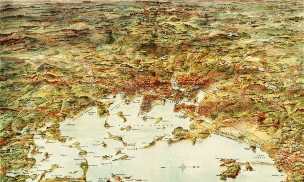
This map shows Boston and surrounding cities in 1905
Read More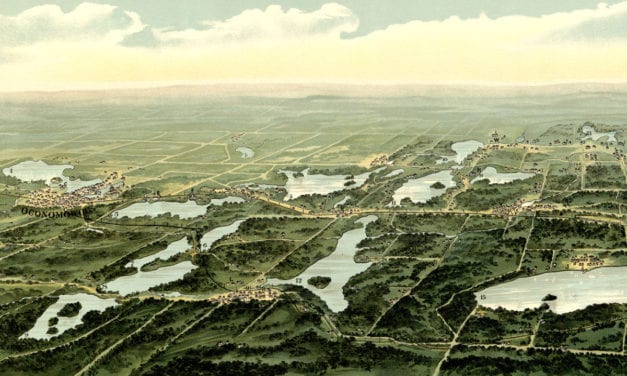
This map from 1890 shows Oconomowoc, Waukesha and Waukesha County, Wisconsin.
Read More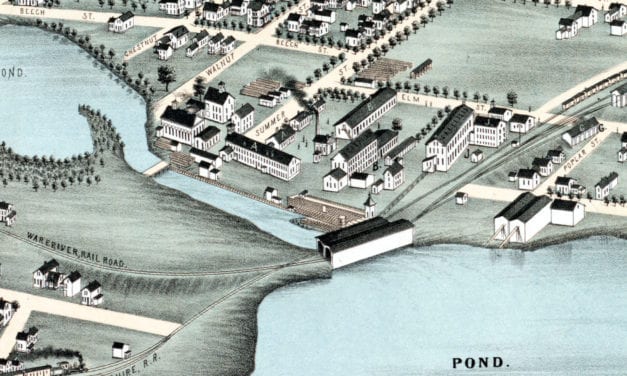
Historic bird’s eye view of Winchendon, Massachusetts from 1878
Read More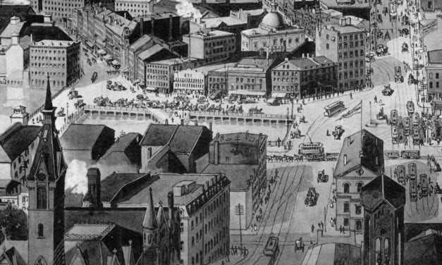
Historic bird’s eye view of Providence, Rhode Island in 1894
Read More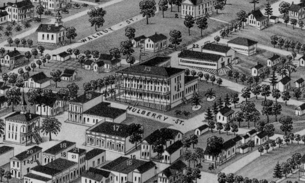
Historic bird’s eye view of Monticello, Florida from 1885
Read More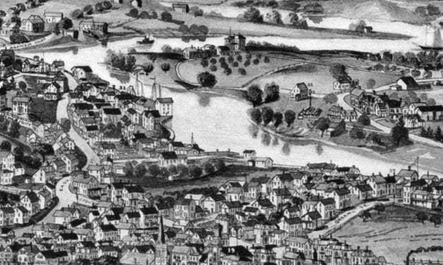
Historic bird’s eye view of Ipswich, Massachusetts from 1893
Read More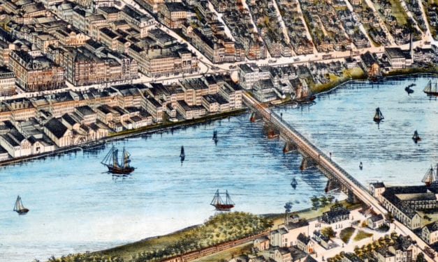
Historic bird’s eye view of Haverhill, Massachusetts from 1893
Read More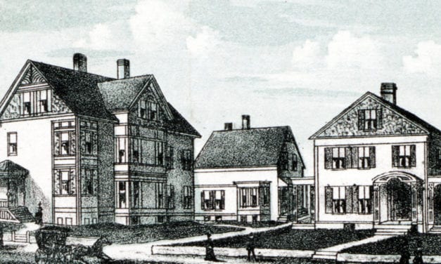
Historic bird’s eye view of Milford, MA from 1888
Read More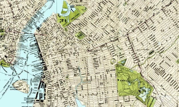
In 1883, Brooklynite S.D.L. Taunton created this beautifully detailed map of his hometown in New...
Read More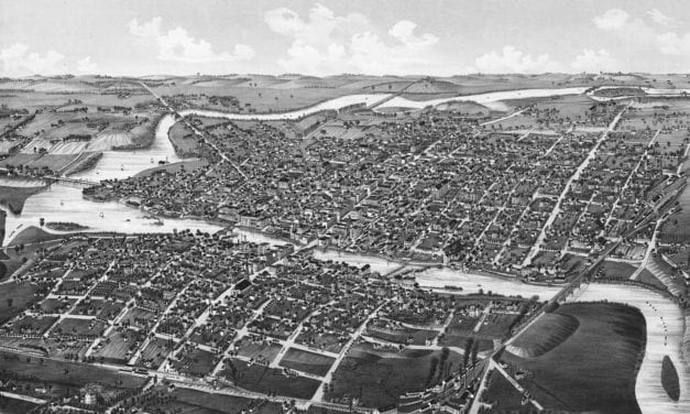
Historic bird’s eye view of Watertown, Wisconsin from 1885
Read More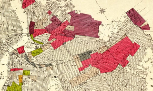
The racial makeup of Brooklyn in the 1920’s
Read More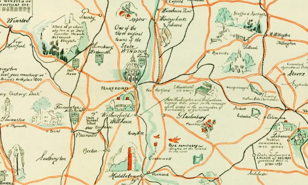
Beautiful old map of the Nutmeg State illustrated with unique vintage drawings.
Read More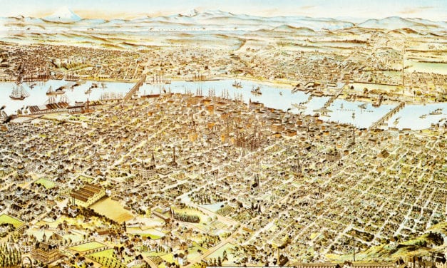
What do you first think of when someone says: “Portland”? Pittock Mansion? Union Station?...
Read More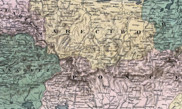
Mapa Topografico De La Isla De Puerto Rico
Read More
This old map shows Ironwood, Michigan in the late 19th century.
Read More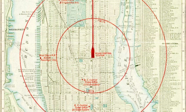
Vintage Map of NYC, 1902 This map of New York City was engraved for the New York Central &...
Read More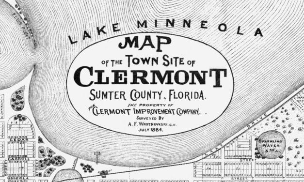
This historic map of Clermont, Florida was issued by the Clermont Improvement Company in 1884, the...
Read More
Historic bird’s eye view of DeLand, Florida from 1884
Read More
This old map shows Hazardville, Connecticut in the late 19th century.
Read More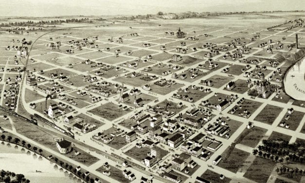
This old map shows Wichita Falls, Texas in the late 19th century.
Read More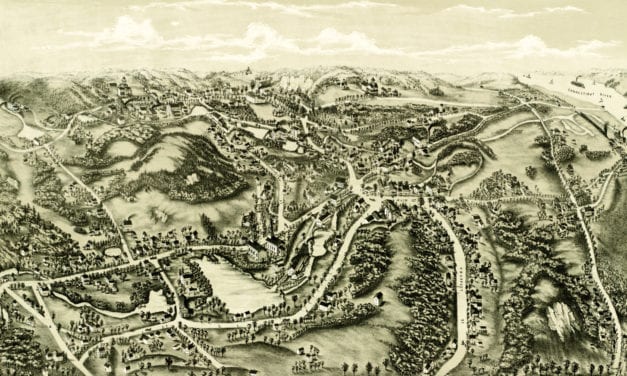
This old map shows Chester, Connecticut in the late 19th century.
Read More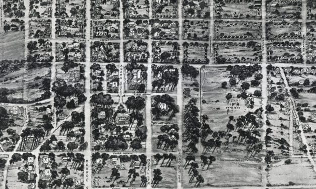
Historic bird’s eye view of Tallahassee, Florida from 1926
Read More
Historic bird’s eye view of Bethel, Connecticut in 1879
Read More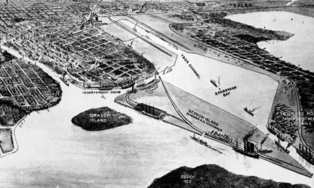
Historic bird’s eye view of Tampa, Florida from 1912
Read More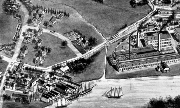
Detailed bird’s eye view of Branford in the early 20th century.
Read More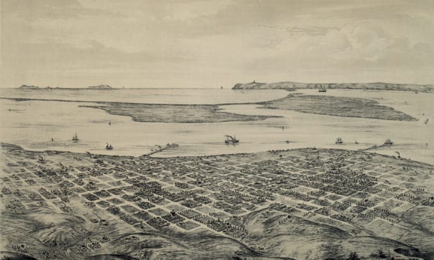
This old map shows San Diego, California in the late 19th century.
Read More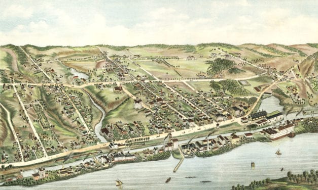
This map shows Windsor Locks, Connecticut as it looked in 1877
Read More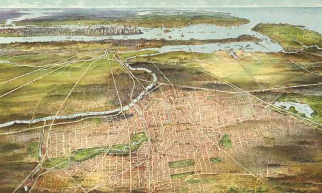
This amazing old map shows Newark, New Jersey as it looked in 1916.
Read More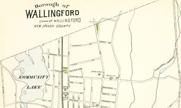
This old map of Wallingford, CT is a hand colored lithograph from 1893. The map was created by...
Read More
This old map shows Ossining, New York in the late 19th century.
Read More
This old map shows Redfield, South Dakota in the late 19th century.
Read More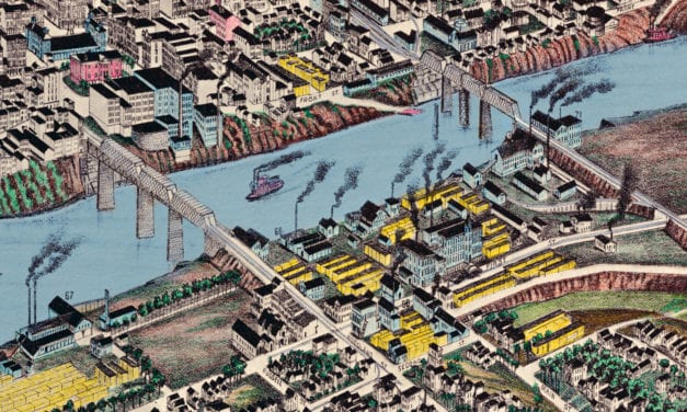
Historic bird’s eye view of Nashville, Tennessee from 1888
Read More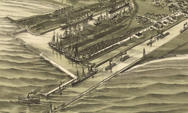
Bird’s eye view of Ashtabula Harbor, Ohio in 1896
Read More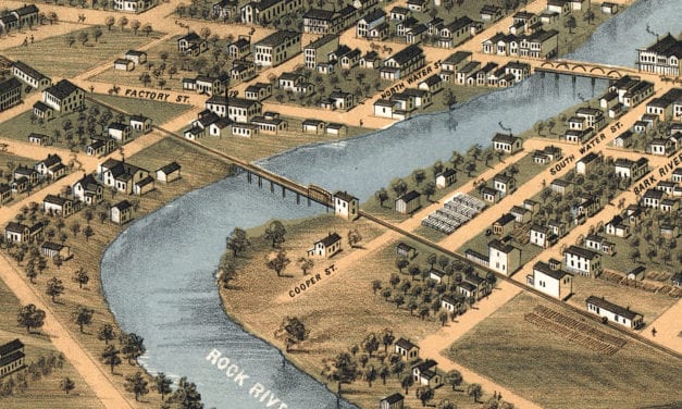
Bird’s eye view of Fort Atkinson, Wisconsin from 1870
Read More
This old map shows New Canaan, Connecticut in the late 19th century.
Read More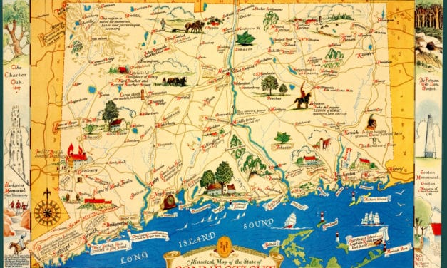
This old map features historical Connecticut trivia from the 17th – 20th century.
Read More