The KNOWOL atlas MissouriFind your place
Your streets. Your story.
Missouri Map PrintsToday’s towns.
Old atlas detail.
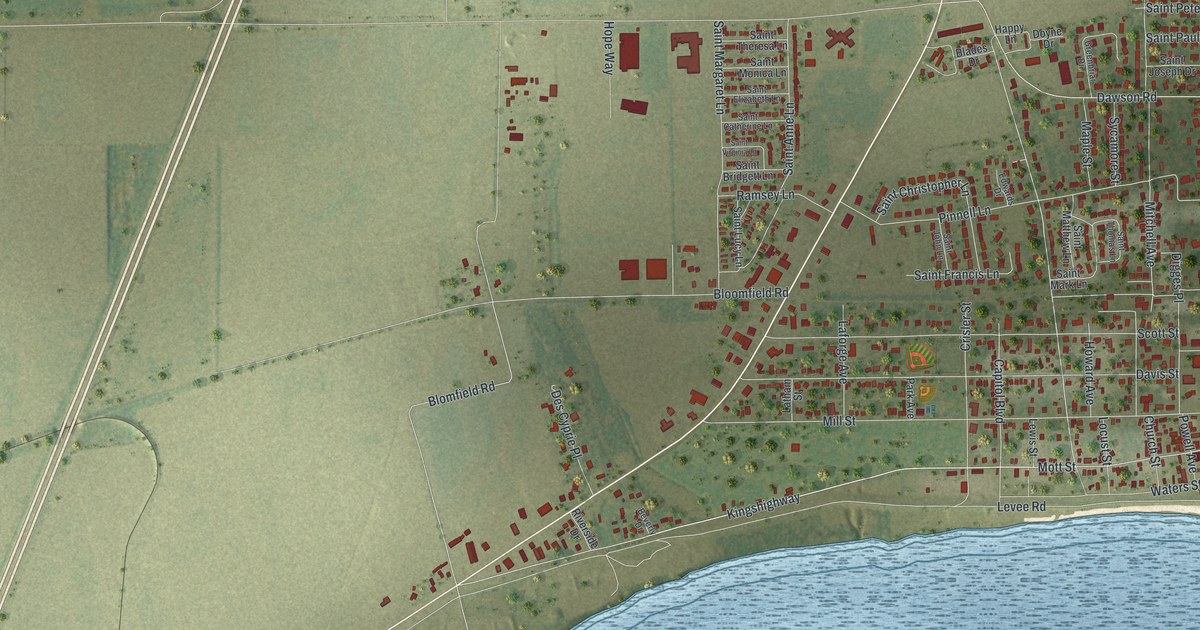
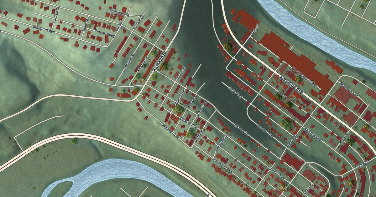
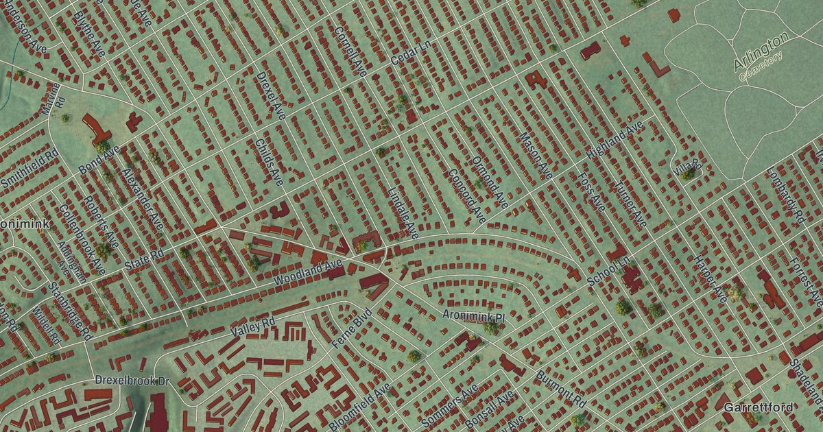
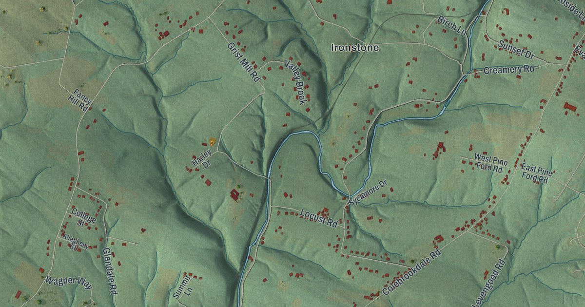
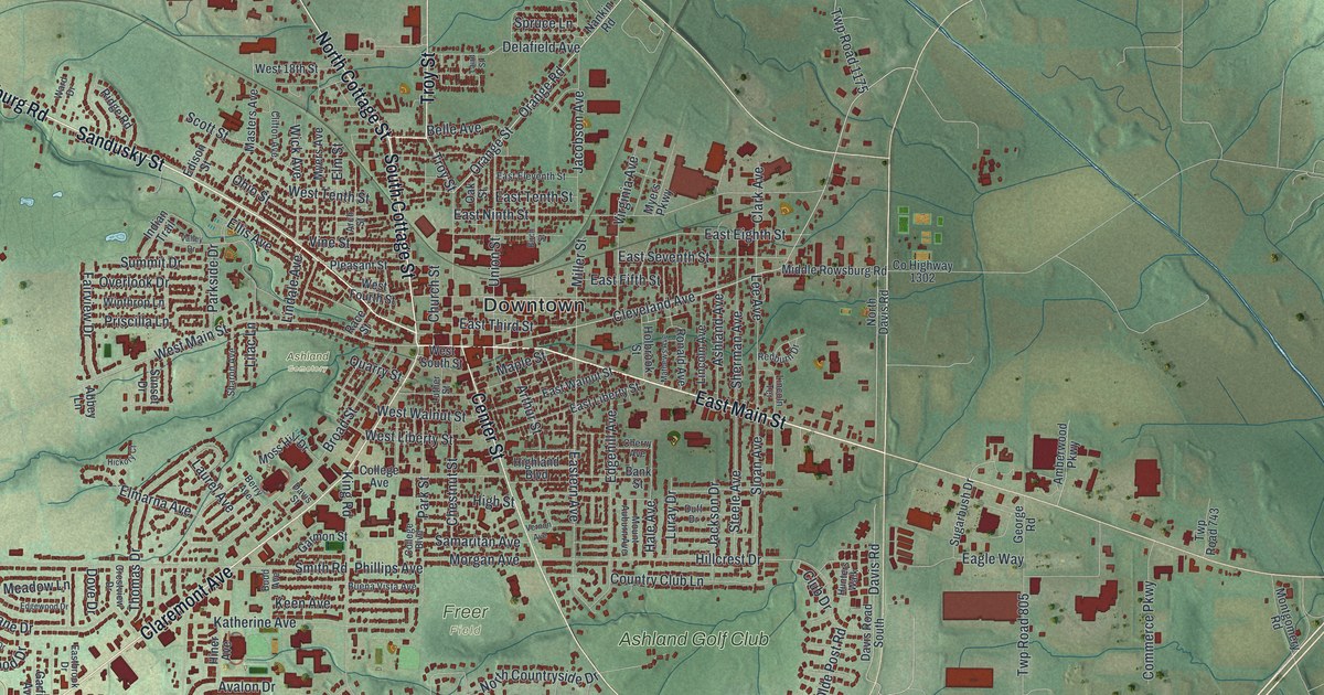
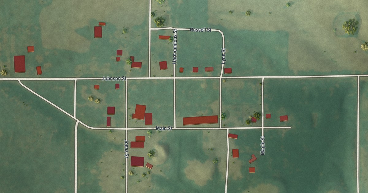
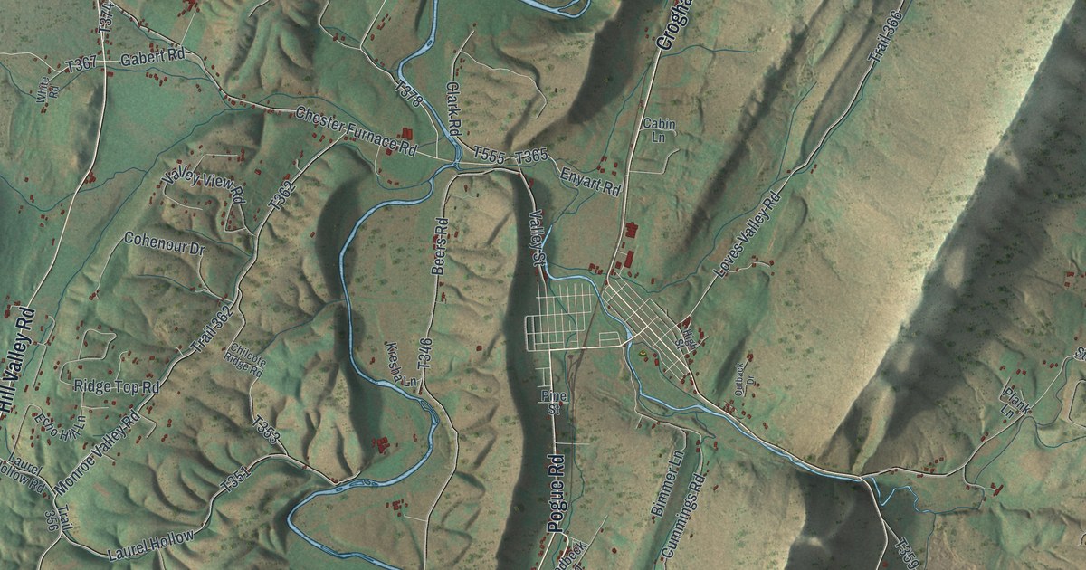
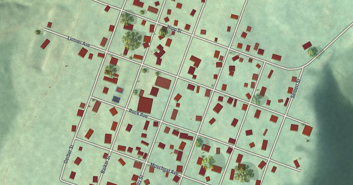
The streets you know. The place you carry with you. Discover Missouri, drawn with the detail and character of an old atlas.

Marion CountyHannibal
↗Every place has a story
Let’s find yours.
Find your town on the map,
or search it by name.
Adair County
Andrew County
Atchison County
Audrain County
Barry County
Barton County
Bates County
Benton County
Bollinger County
Boone County
Buchanan County
Butler County
Caldwell County
Callaway County
Camden County
Cape Girardeau County
Carroll County
Carter County
Cass County
Cedar County
Chariton County
Christian County
Clark County
Clay County
Clinton County
Cole County
Cooper County
Crawford County
Dade County
Dallas County
Daviess County
DeKalb County
Dent County
Douglas County
Dunklin County
Franklin County
Gasconade County
Gentry County
Greene County
Grundy County
Harrison County
Henry County
Hickory County
Holt County
Howard County
Howell County
Iron County
Jackson County
Jasper County
Jefferson County
Johnson County
Knox County
Laclede County
Lafayette County
Lawrence County
Lewis County
Lincoln County
Linn County
Livingston County
Macon County
Madison County
Maries County
Marion County
McDonald County
Mercer County
Miller County
Mississippi County
Moniteau County
Monroe County
Montgomery County
Morgan County
New Madrid County
Newton County
Nodaway County
Oregon County
Osage County
Ozark County
Pemiscot County
Perry County
Pettis County
Phelps County
Pike County
Platte County
Polk County
Pulaski County
Putnam County
Ralls County
Randolph County
Ray County
Reynolds County
Ripley County
Saline County
Schuyler County
Scotland County
Scott County
Shannon County
Shelby County
St. Charles County
St. Clair County
St. Francois County
St. Louis County
- Affton
- Ballwin
- Bel-Nor
- Bel-Ridge
- Bella Villa
- Bellefontaine Neighbors
- Bellerive Acres
- Berkeley
- Beverly Hills
- Black Jack
- Breckenridge Hills
- Brentwood
- Bridgeton
- Calverton Park
- Champ
- Charlack
- Chesterfield
- Clarkson Valley
- Clayton
- Concord
- Cool Valley
- Country Club Hills
- Country Life Acres
- Crestwood
- Creve Coeur
- Crystal Lake Park
- Dellwood
- Des Peres
- Edmundson
- Ellisville
- Eureka
- Fenton
- Ferguson
- Flordell Hills
- Florissant
- Frontenac
- Glendale
- Grantwood Village
- Green Park
- Greendale
- Hanley Hills
- Hazelwood
- Hillsdale
- Huntleigh
- Jennings
- Kinloch
- Kirkwood
- Ladue
- Lakeshire
- Lemay
- Manchester
- Maplewood
- Marlborough
- Maryland Heights
- Mehlville
- Moline Acres
- Normandy
- Northwoods
- Norwood Court
- Oakland
- Oakville
- Old Jamestown
- Olivette
- Overland
- Pagedale
- Pasadena Hills
- Pasadena Park
- Pine Lawn
- Richmond Heights
- Riverview
- Rock Hill
- Sappington
- Shrewsbury
- Spanish Lake
- St. Ann
- St. John
- St. Louis
- Sunset Hills
- Sycamore Hills
- Town and Country
- Twin Oaks
- University City
- Uplands Park
- Valley Park
- Velda City
- Velda Village Hills
- Vinita Park
- Warson Woods
- Webster Groves
- Wellston
- Westwood
- Wilbur Park
- Wildwood
- Winchester
- Woodson Terrace
Ste. Genevieve County
Stoddard County
Stone County
Sullivan County
Taney County
Texas County
Vernon County
Warren County
Washington County
Wayne County
Webster County
Worth County
Wright County
Your place might still be on its way.
Try another spelling, choose a different county, or reset your search.
Request a map of your town ↗Each place opens its map.Take a little detour ↓
Worth a closer look
A few places to begin.
Follow a familiar street. Find a new favorite. There is a story in the detail.


Made for the place you love
A little closer.
A little more familiar.
A bend in the river. The street you grew up on. The shape of the town you still call home. A map brings those small, familiar things together in one place.
- 01Start with the real place.
Streets, buildings, terrain, and water form the map.
- 02Bring the details together.
Local research and an old atlas style give each place its character.
- 03Make room for home.
Explore the map, then choose a print to keep or give.
Missouri, one place at a time.Find your town ↑